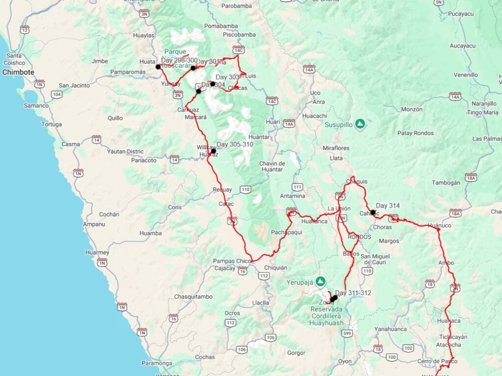
We arrived in Caraz on July 30th, 2026, after having hiked to the far side of Laguna Parón. I’d texted a campground host the day before to make sure they had space, as the place was mainly a hostel, with only parking for one vehicle. We met Juan Carlos and he showed us in to a nice courtyard, which had a small building with a few rooms for the hostel, as well as an outdoor kitchen and dining area. The “main” hostel was a block or two away, and he had recently purchased this other property to expand. His father happened to be visiting from the coastal city of Chimbote, and being extremely sociable, quickly sat us all down at a table and we all shared a few beers together as he asked us about our travels, and we heard about his childhood in Chimbote, young adulthood in Cusco, and then a stint in the U.S. as well as Belgium, which had left him perfectly fluent in both English and French. Because of his French fluency, his hostel has become immensely popular with the many French travelers who come to the Cordillera Blanca (“White Mountains”) to mountain climb. Over half his 20 or so guests were French.
We spent 3 nights at the hostel, with the first being dedicated to cleaning off about two weeks worth of dust out of the jeep- the roads through the mountains of central Peru had been incredibly dusty. After doing laundry and wiping down the interior of the jeep, we mostly relaxed the next two days. We checked out a highly-recommended pizza restaurant which was mediocre at best, and the last night we were there we went to an excellent Japanese restaurant. We definitely don’t like tourist towns, which Caraz is quickly becoming, but it does mean that we get to have some excellent non-Peruvian food! At the campground we also met Veronika, a Slovenian backpacker. She had also traveled through Colombia and Ecuador before Peru, so we compared experiences and also compared plans for further south.
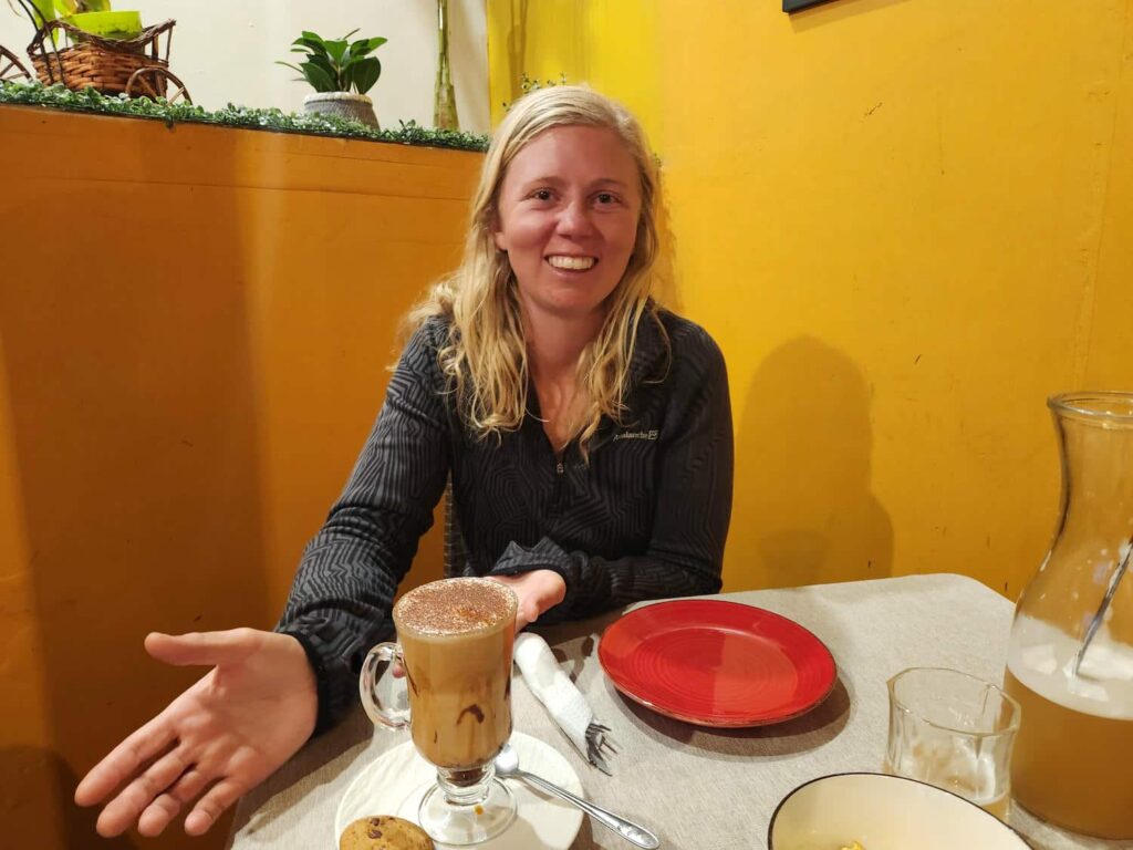
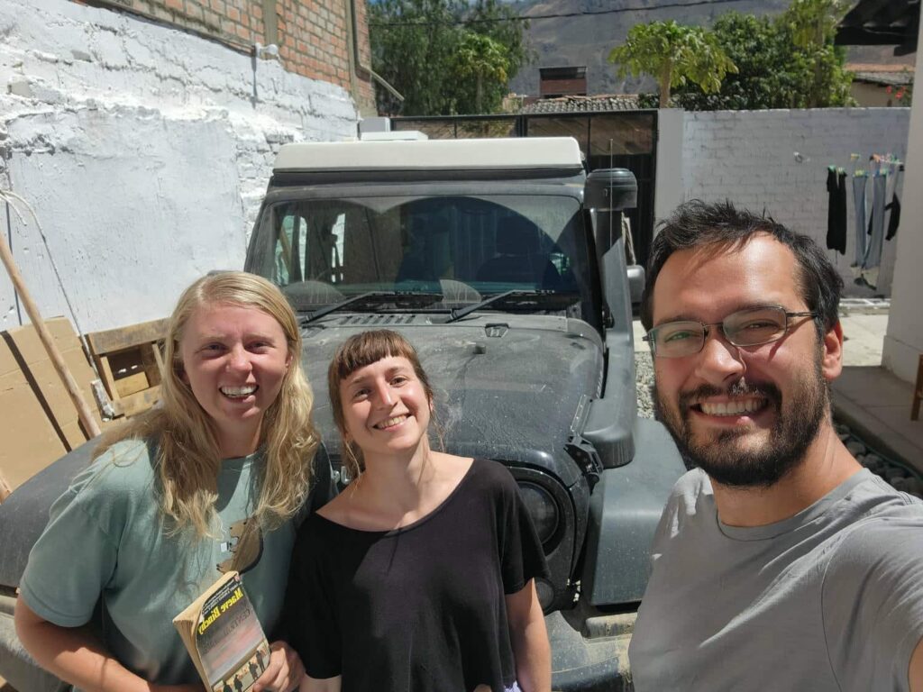
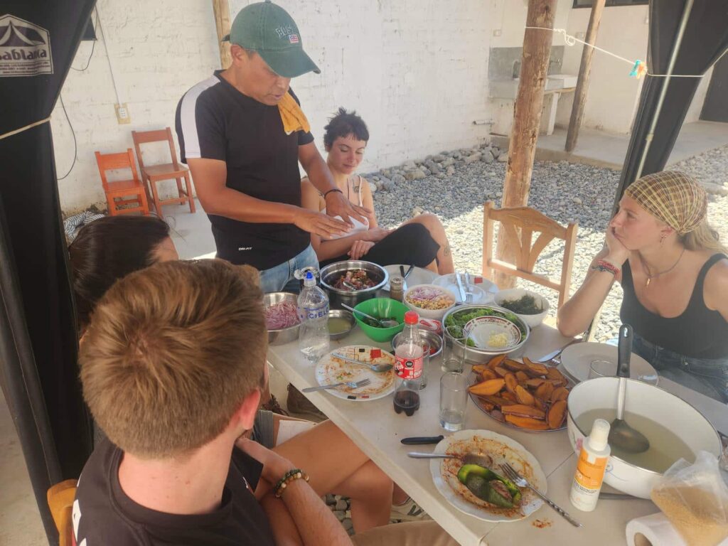
After three nights, we were ready to continue on, but Juan Carlos had one last surprise for us. He frequently organizes group meals at the hostel, especially French ones, but for lunch today, he was going to make ceviche. Being from the coast in the area that ceviche originates, we couldn’t resist staying a bit longer! He prepared everything in the outdoor kitchen, talking to us and some other guests the whole time- he is one of the more talkative people we’d ever met. The ceviche was fantastic, much better than we’d had at a nice restaurant in Moyobamba a few weeks earlier. Before we could leave, we gave a tour of the jeep to some of the backpackers at the hostel. They were fascinated by the idea of traveling by car, which now seemed so normal for us, especially because we’d only really interacted with other overlanders thus far on the trip. There are tens of thousands of backpackers traveling South America at any given time, but probably less than a thousand overlanders- we sometimes forget how unusual what we are doing is!
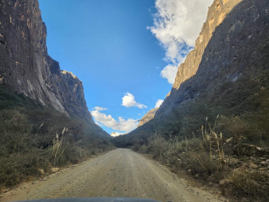
We headed out of Caraz and up into Huascaran National Park, into a narrow valley with the 6395m/20,981ft Mt. Huandoy on one side and the eponymous 6768m/22,205ft Huascaran, the tallest mountain in Peru, on the other. Driving between the two massive glacier-capped peaks was incredible, and it was hard to keep my eyes on the road! We paid our park entry fee and camped at Yucacorral, the trailhead for several hikes in the area, including the popular Laguna 69. All the mountains in the Cordillera Blanca have indigenous names which can be quite difficult to pronounce, so they are generally referred to by numbers instead. Laguna 69 is the most popular hike in the Cordillera, and a common training/acclimatization hike. Because it is so popular and scenic, it seems that many people who are quite unprepared have begun attempting it, leading the authorities to recently institute a rule that all hikers must be accompanied by a guide.
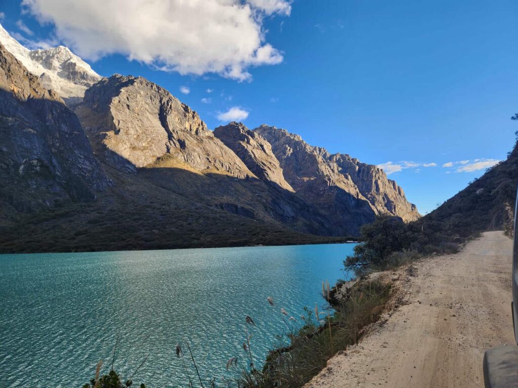
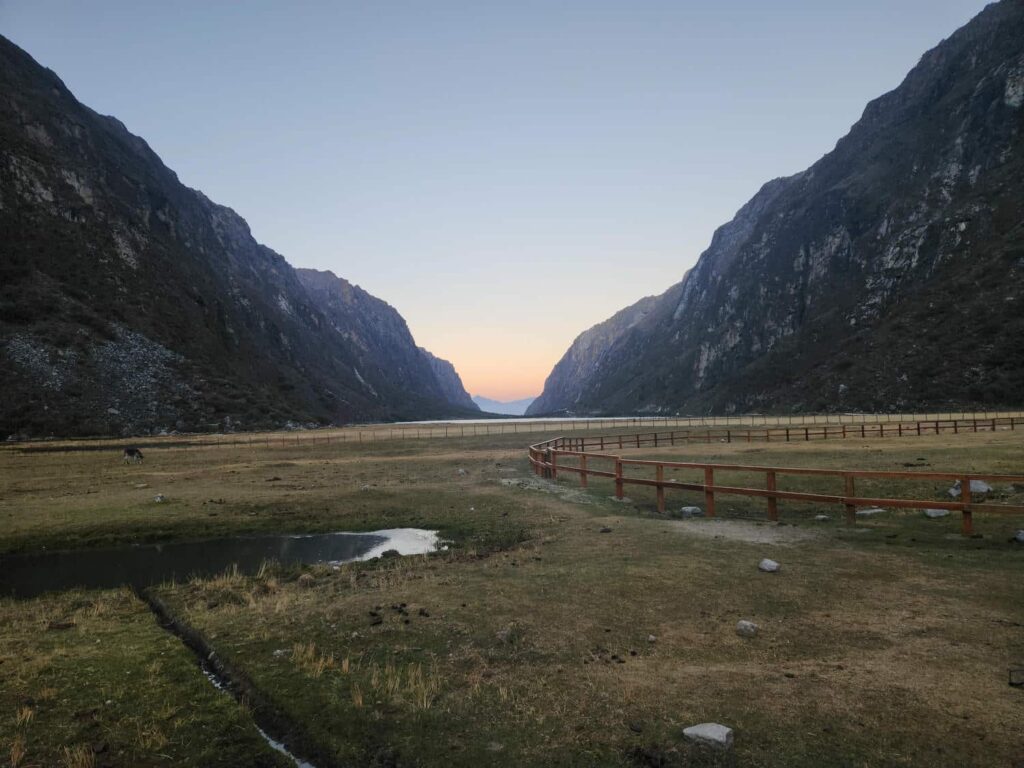
Delaney and I have been continually frustrated by similar requirements all through Latin America, even for hikes as short as a few miles into the mountains. I can kind of understand it- many people in Latin America have not grown up with the same accessibility to wilderness that many people in the U.S. have, and as such have no experience in the mountains. I think it is also a way for local communities to create jobs, especially in popular international tourism destinations. Whatever the case may be, we have no interest whatsoever in hiring a guide for a hike. We were told of another trailhead by some other people at the hostel that bypasses the “guide check”, so we drove up nearly 30 switchbacks to the trailhead, which is mainly used for climbing Yanapaccha, another massive mountain in the Cordillera. We parked off to the side of the road and followed a faint trail down into the valley where we met up with the main trail after a bit of bushwacking. No one noticed as we popped out of the brush!
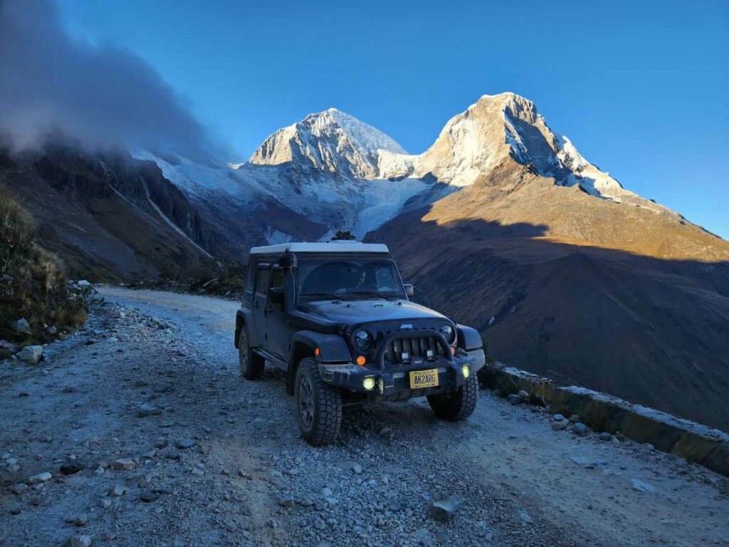
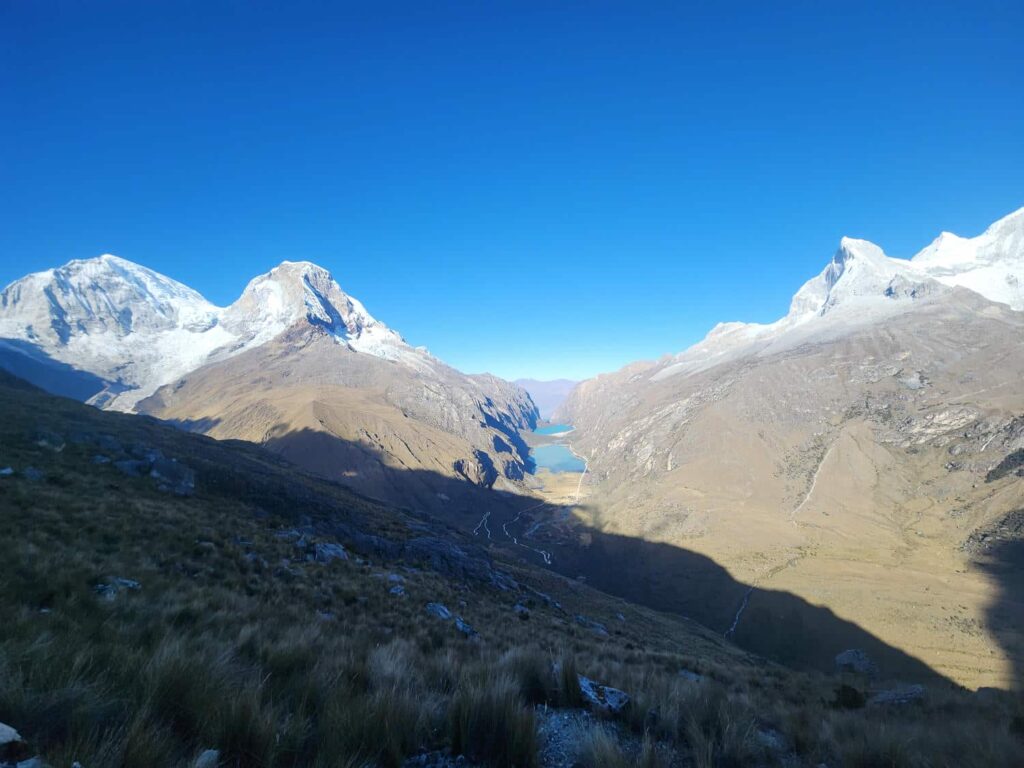
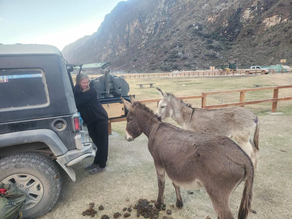
We’d descended from the trailhead at around 15,000ft to around 13,700ft, and now we had to climb up to the lake at 15,000ft again! It was pretty grueling, but with what we lack in leg strength we make up for with fantastic acclimatization- we’ve scarcely been below 10,000ft for weeks. I was surprised as we passed group after group on our way up! The lake is gorgeous, and very similar to the lake we’d hiked up to on the other side of Laguna Paron, with high cliffs topped with glaciers all around. We stayed at the top for a while, enjoying the ridiculous few and doing a bit of people watching- there were a ton of other people at the lake, and we heard all sorts of different languages. Back at the spot where we’d joined in with the main trail, we jumped off it again and headed back up to the trailhead. This last climb for us was quite punishing- our legs were totally shot by the time we’d got back to the jeep. We headed back down to Yucacorral, where we’d spent the previous night, and had another peaceful night only interrupted by the many pack donkeys that wander around the area.
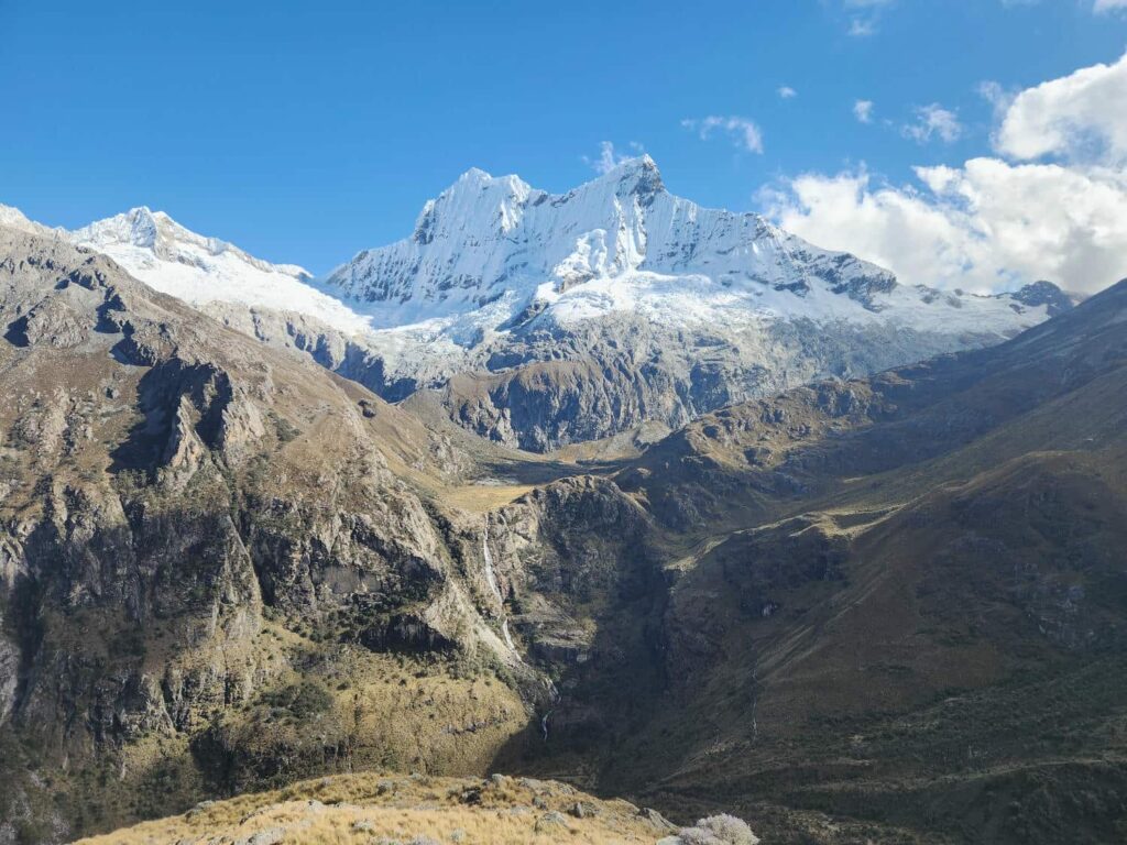

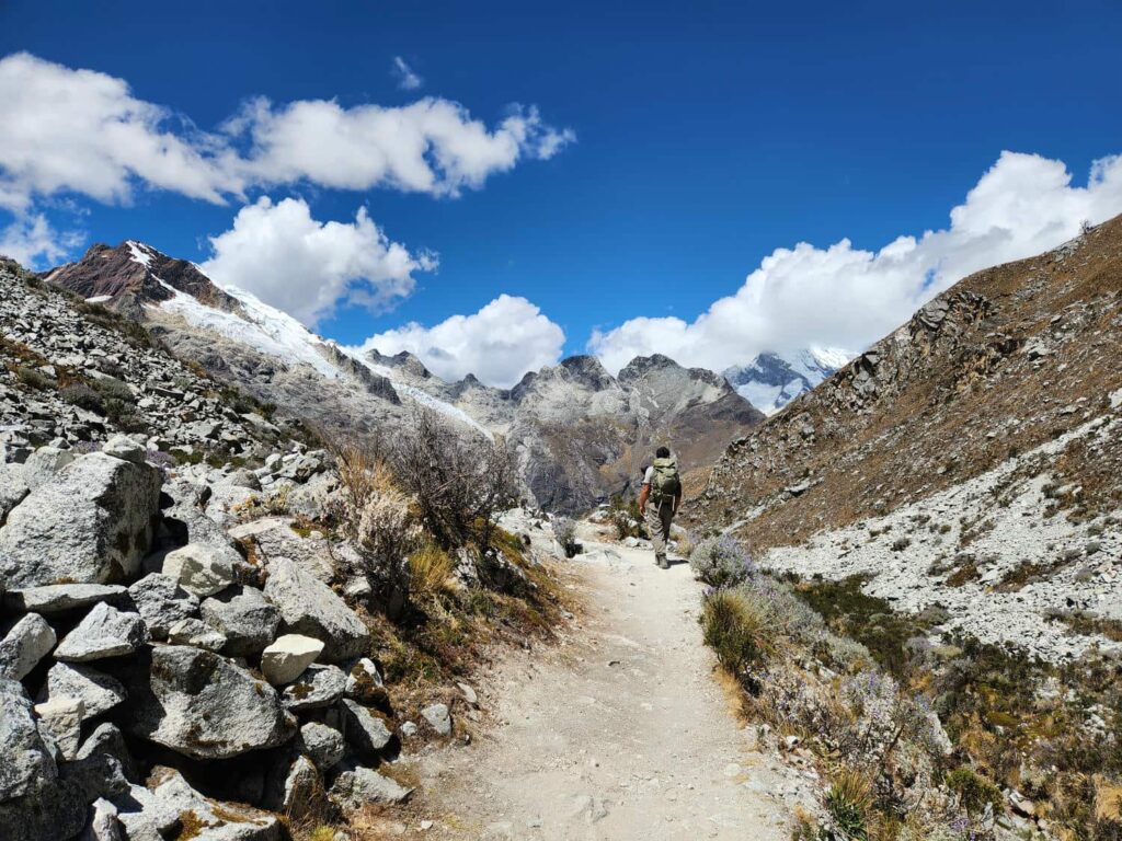
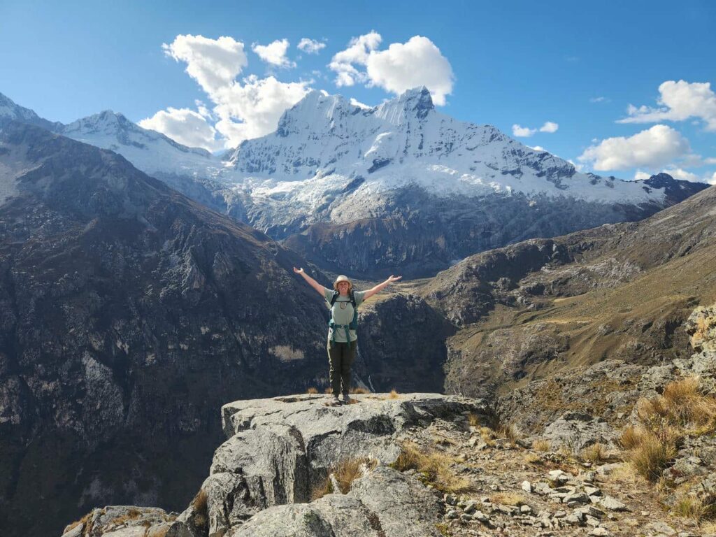
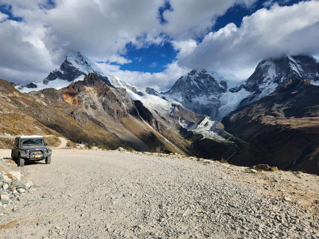
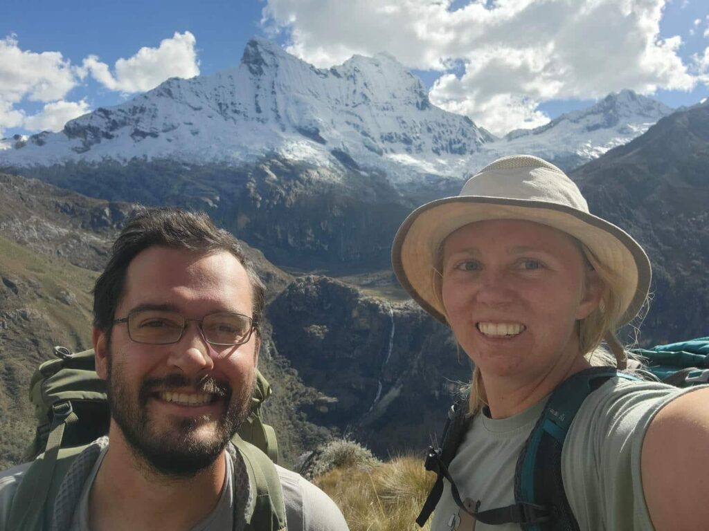
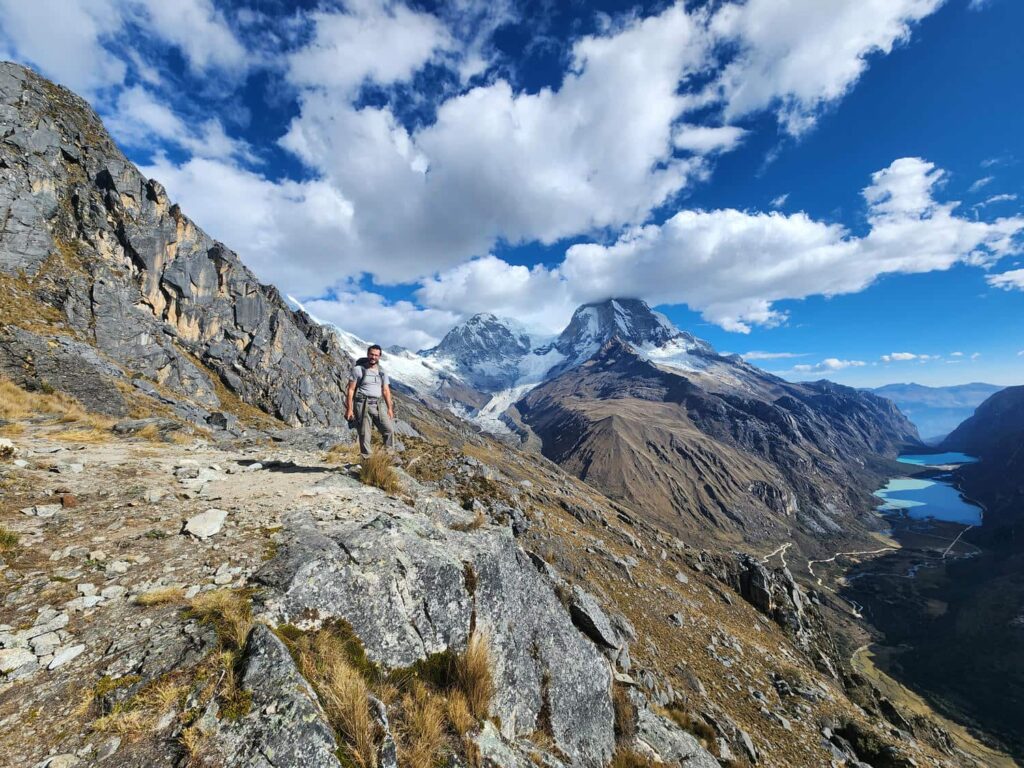
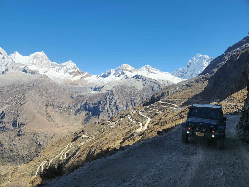
In the morning, we drove up the road past where we’d hiked from the previous day, and all the way up to Portachuelo Pass at 15,640ft. We crossed 34 switchbacks on our way up! The pass had an amazing view of Huascaran and the valley below, including most of the Laguna 69 drainage. We made lunch and enjoyed the view before heading back down the other side. The view on the other side wasn’t quite as stunning, but still incredible. At times, we had a great view of Piramide, an extremely tall and pointy mountain that sits at the back of Laguna Paron, but now we were seeing it from the other side. We’d been warned of some construction delays on our route, so we diverted to a smaller road a bit further north. The road went through, but it was bumpy, narrow, and slow.
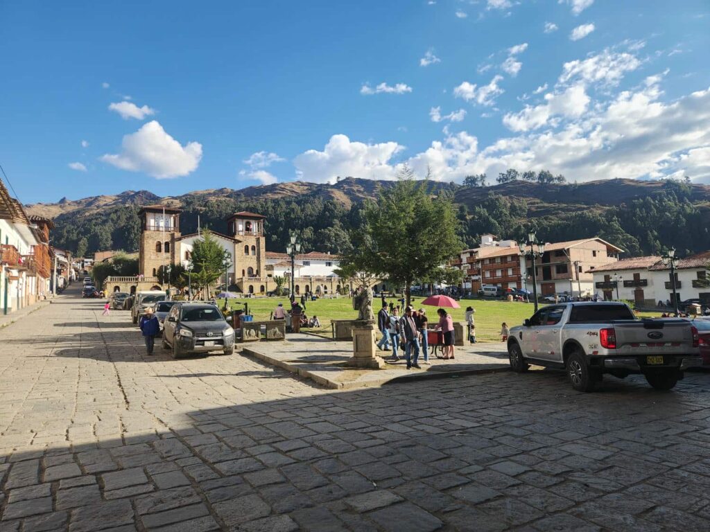
We finally reached pavement on the east side of the Cordillera, and headed south down the nicely paved 14C. We turned west towards the Italian immigrant town of Chacas, but sadly the pizzeria we’d hoped to visit was closed. We continued west, back into the mountains, and were treated to some absolutely incredible scenery- glaciers, pointy mountain peaks, waterfalls everywhere,
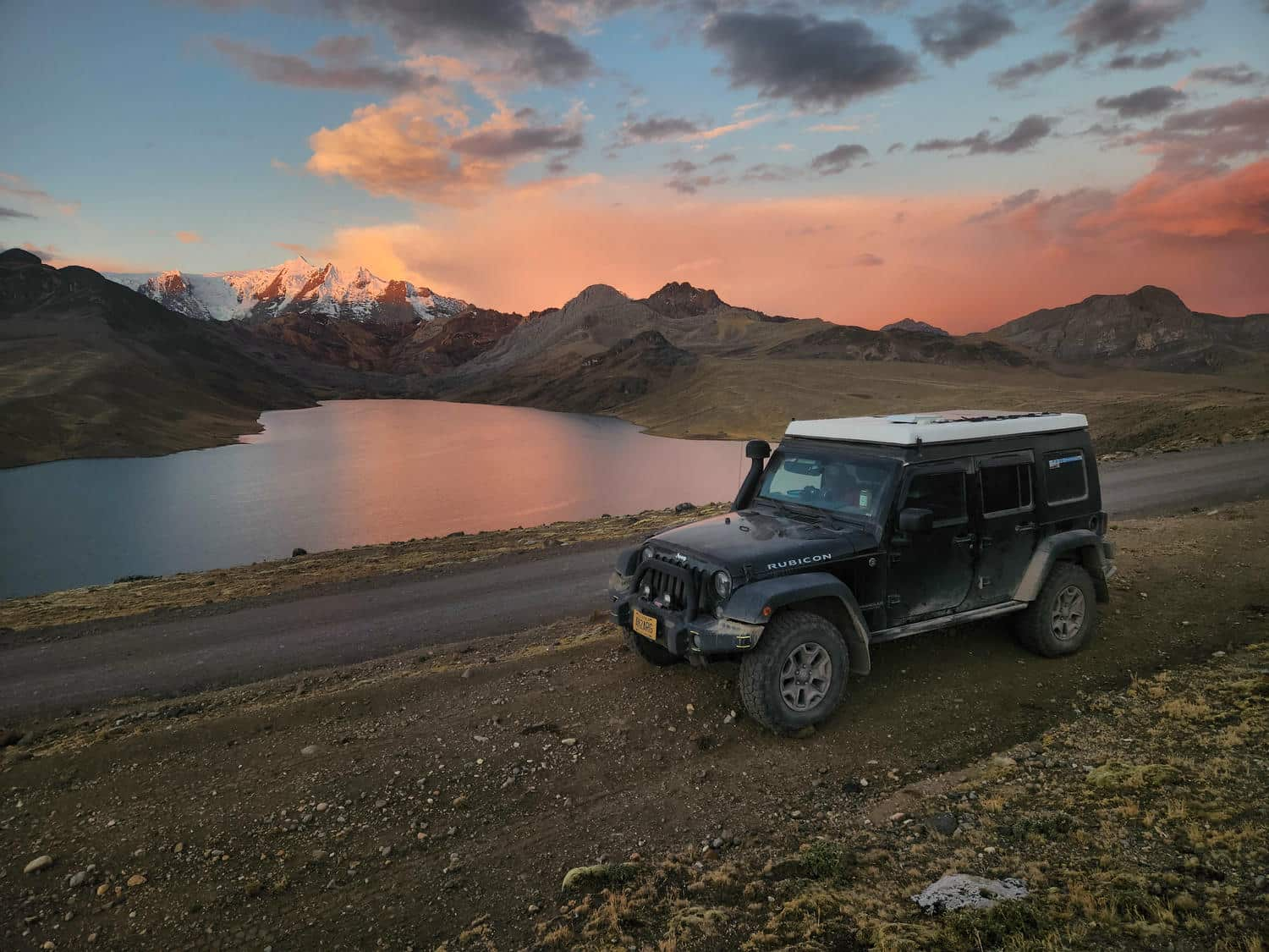
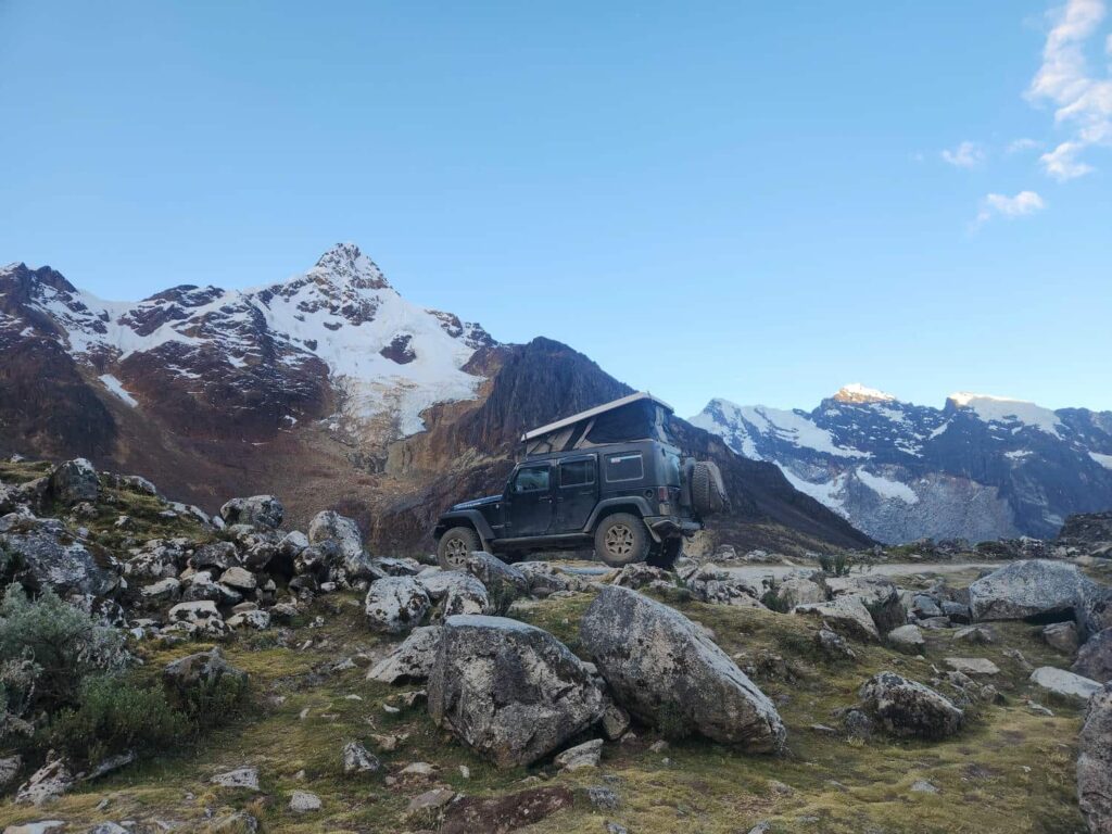
and bright blue glacial lakes. We found a campsite overlooking Laguna Cancaraga, and settled in for the night. We both called a few family members to show off the campsite with a video call- it was possibly our most scenic campground of the trip, and definitely the highest so far, at 15,600ft. As we drifted off to sleep, every half hour or so we would hear the booming and crashing of ice or rock falling off the mountains. It was pretty chilly that night, but we stayed plenty warm in the jeep. People are often surprised that we don’t have a heater, but the tent fabric of our top keeps the heat in reasonably well. With our sleeping bag, blanket, and warm clothes, we’ve been quite comfortable so far!


We were unfortunately awoken around 4:30am in the morning by some climbers getting dropped off to attempt some of the surrounding mountains, but we’d planned on getting up at sunrise anyway to start on our own hike. This road is the main crossing of the Cordillera Blanca, and is paved all the way through, and the road has lines painted on it! I think we’re getting too used to the dirt and shoddy pavement to be surprised by a nice, normal road. The road now goes through a long tunnel to cross the high point of the mountains, but the previous road zig-zagged all the way up to “Punta Olympica” at 16,100ft. The road was abandoned when the tunnel was completed in 2013, and was drivable for a short time after, but has now fallen into disrepair. It still can be hiked though, so we headed on up. The climb was much easier than our hike to Laguna 69 two days previous, and it was a good chance to stretch our aching legs out. Several sections of the old road had completely fallen away, but we were able to easily bypass the landslide chute by short-cutting one of the old switchbacks. At one point on our way up, we saw Andean Condors soaring above- one of the largest flying birds in the world, with a wingspan of nearly 11ft. After crossing one small ledge where all but a few feet of the old road had fallen away, we were at the pass. It was a bit surreal to be here- this was another location that I’d researched years before. I’d even found an old YouTube video of a vehicle driving up the old road before it had become impassible. It looked exactly like the pictures and videos I’d seen. We crossed through a big rock cut to get to the other side of the pass, where we were treated to sublime views of Huascaran, from the opposite side compared to a few days before. We climbed down the old road on the other side a bit, seeing the exit of the tunnel and a pullout with hordes of tourists far below. It was kind of crazy to think that the road had been completely passable just 13 years earlier- you couldn’t even ride a mountain bike on it now!
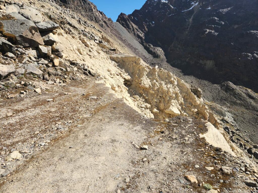

We headed back down to the jeep, and through the tunnel. The tunnel is the longest in Peru and the highest road tunnel in the world at 15,535ft. It is two lanes, but it felt quite narrow and low- I sure wouldn’t want to be the one driving a bus through it! We stopped briefly among the hordes of tourists we’d seen from above, who were all there to see the view. Ours had been better a few hundred feet higher up! We drove down the 28 switchbacks to the bottom of the perfectly U-shaped glacial valley. There were incredibly jagged snow-capped mountains in every direction around us, except for the tiny gorge that drained the whole thing.

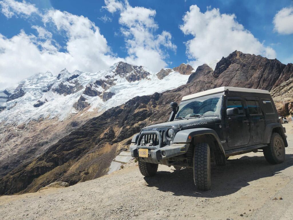
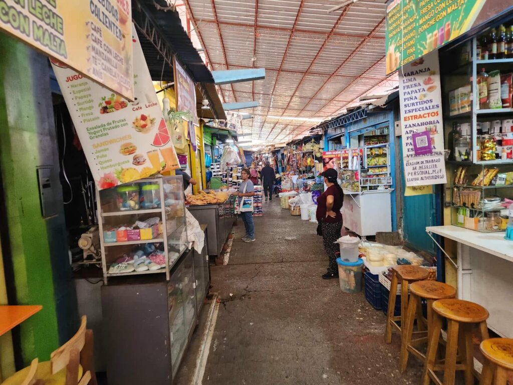
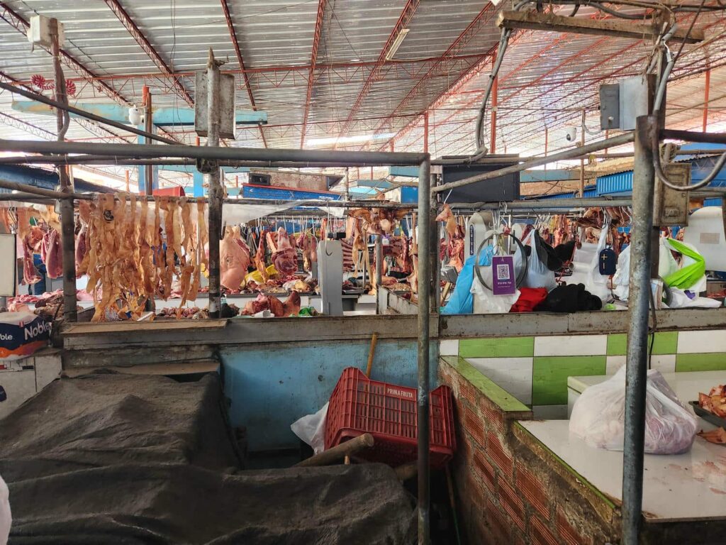
We found a nice campsite in a forested area a bit off the road and enjoyed an early day at a campsite. It was sunny, warm, and clear- absolutely perfect weather to sit around camp for a few hours before making dinner and heading to bed. We would have spent another night at this spot, but we’d been contacted by Gerry and Dunja, our German friends who we’d originally met in Jardin, Colombia, and seen again in northern Ecuador. They were at a campground in Huaraz, and invited us to join them! We headed down through the tight city streets of Carhuaz, and headed down the highway to Huaraz, the main gateway to the Cordillera Blanca. Before heading up to the campsite, we stopped in town to restock on groceries. There isn’t a big supermarket in Huaraz, just the smaller “Trujillo” markets, so we picked what looked like the easiest one to get to. It turned out to be in the middle of a massive traffic jam in the tiny narrow streets. We managed to get there and despite the market not having any official parking, we squeezed off to the side of the road, as out of the way as we could. The street was probably wide enough to handle two lanes of traffic, but we certainly weren’t the only ones parked on the side of the road, limiting it to only one lane. We’ve been pretty disappointed by the grocery stores in Peru compared to Ecuador and Colombia, and this was no different- but we were able to get all the staples that we needed like pasta, eggs, and some ok-looking meat. The store hardly had any fresh produce, so we then drove a few more blocks to the main open-air market in Huaraz. I again parked surreptitiously on the side of the street while Delaney ran in to get us some fruits and veggies. Parking like this would get you towed immediately anywhere in the U.S., but here no one even batted an eye! We’ve completely gotten used to the Latin American habit of just parking on the side of the road, regardless of how it may impede traffic. Parking lots are nonexistent here!
All stocked up on food, we headed up to the campsite. It is run by Avencio, a lovely older man who was eager to show us maps of the Cordillera Blanca and recommend some hikes. He also showed us how to get a collectivo (minibus) from the campsite down to Huaraz and back up- you had to wait on a very specific street for minibuses with 5 very specific numbers! We said hi to Gerry and Dunja, who unfortunately had both contracted a cold and were suffering from a bit of altitude sickness. We spent the next 6 nights at the campground, which was a bit longer than we had planned, but we’d been texting with Veronika and were planning to meet up when she finished the Santa Cruz trek, a 3-night backpacking trip near Caraz. We were planning on doing some of the famous Huayhuash trek, which I’d wanted to do for years. In the meantime, we did some maintenance on the jeep, caught up on photos, Instagram, and this blog, made good food, and talked with some of the other overlanders in the campground. We hit it off very quickly with Luti, a Brazilian headed north. He travels quite similarly to us- he loves getting off the beaten path, and especially loves climbing mountains. It’s a shame he is headed north, but we’ll certainly see him when he makes it to Alaska! After a few days of relaxing, we took a collectivo down into Huaraz to pick up some backpacking supplies and to meet up with Veronika. We already had some freeze-dried meals that we’ve had since we left Alaska, but we wanted some other snacks. We went back into the massive open-air market, and picked up some fruits and nuts to take backpacking with us. I also found some Skittles- probably the best candy I’ve been able to find in Peru. Colombia and Ecuador had a great candy selection but Peru has just not had what I want! After stocking up, we met up with Veronika. We wandered around town with her for a bit while she collected some food for the trip as well. She is vegan, which makes finding good food very difficult for her! We found a collectivo with the correct numbers, which thankfully brought us right back up to the campsite. It was only two Peruvian Soles, around $0.70, each way!
A few days earlier, we’d noticed a large white van parked in the campground. It coincidentally had Slovenian plates- where Veronika is from! We asked Avencio about it, and he said that it had been owned by Eva, who had spent some time at the campground before going down to Patagonia, and then returning to use the campground as a base camp to climb some of the mountains in the Cordillera. Sadly, she had died in a mountaineering accident in 2018 on Alpe Mayo, one of the more dangerous glacial peaks, near Caraz. The van has sat here ever since. Avencio showed us a cookbook that Eva had written- a vegan cookbook. It turns out that Eva had been a big inspiration to Veronika in traveling the world, and Veronika had had no idea that this is where she’d stayed before the accident. Avencio, being incredibly kind, told Veronika that she could stay for a few nights at the campground for free, shrugging as he looked up at the sky. The next day, Veronika headed back into Huaraz to rent some equipment for our planned Huayhuash trek. Luti also kindly lent her some equipment that he wouldn’t be using for his next summit attempt in the next few days. Before we knew it, six days at the campground had flown by and we were ready to leave for the isolated Cordillera Huayhuash. Veronika hopped in the back of the jeep, and we headed south from Huaraz.
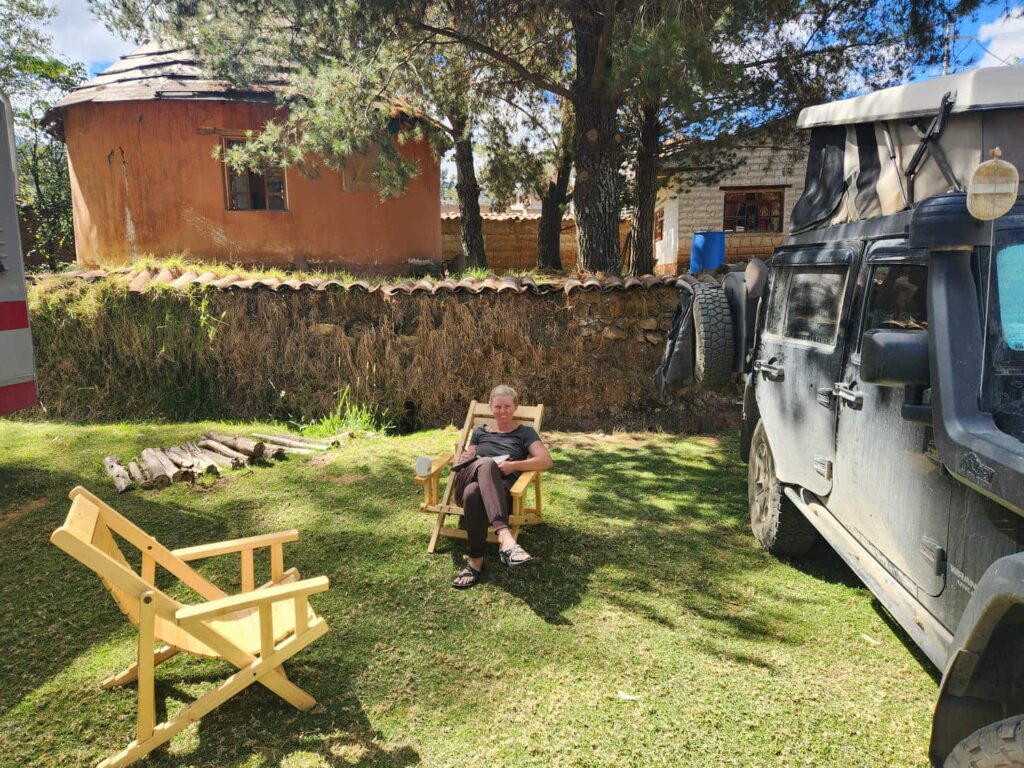
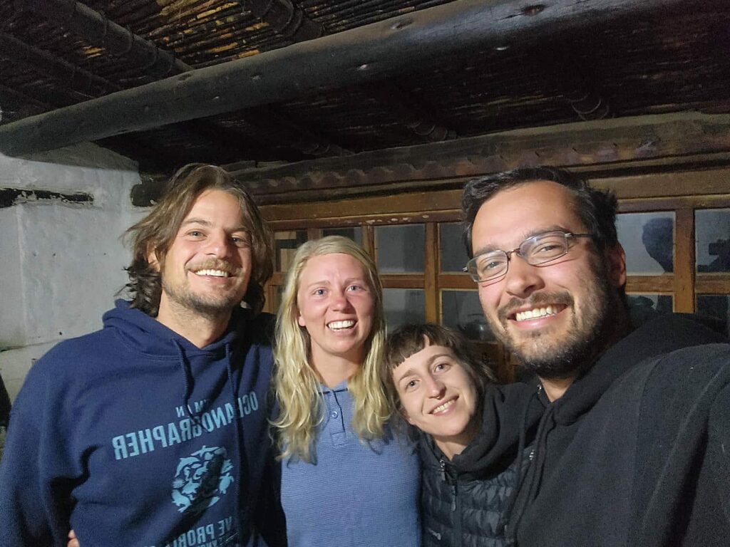
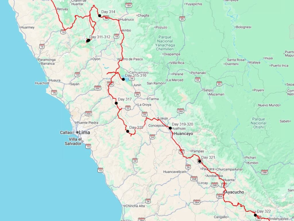
We took the 3N through Conococha, where we saw tons of flamingos on a lake there. We continued on through more stunning terrain, finally seeing the very pointy Yerupaja, the tallest mountain in the Cordillera Huayhuash and the second tallest in Peru at 6635m/21,768ft. It towered over the rest of the mountain range, and its pyramidal shape is quite iconic. After crossing yet another 15,400ft pass, the road deteriorated quickly as we headed down. We quickly found the reason- mining trucks. The road had probably never been designed for the giant 4-axle dump trucks that were everywhere, and the pavement at every corner and switchback was completely torn up. A few bumpy hours later and we arrived in La Union, where we turned off the main road and onto a much smaller road, headed into the Cordillera Huayhuash.
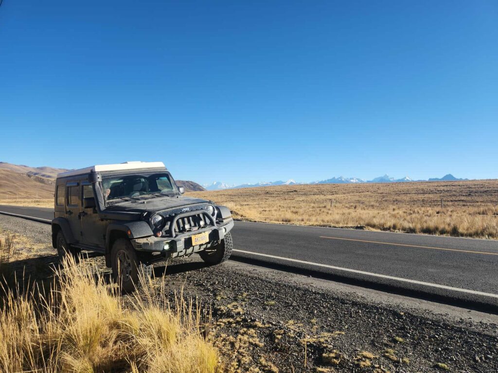
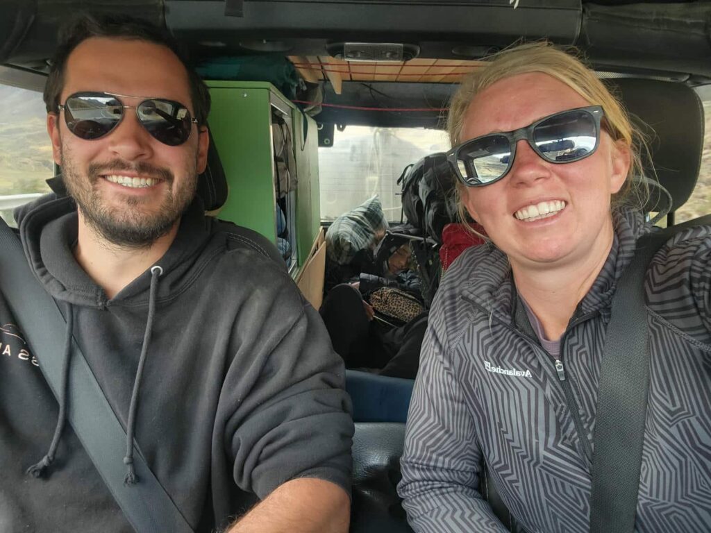
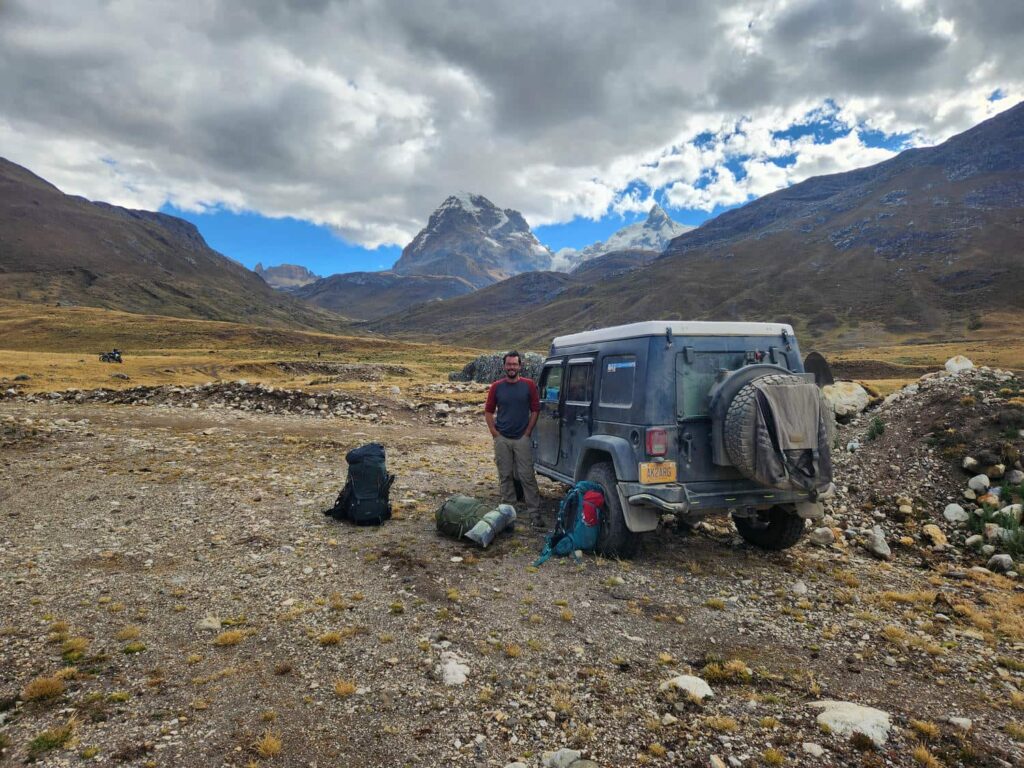
Another hour or two of tiny roads and tiny mountain villages and we arrived in the tiny sheep herding town of Huayhuash. It was a bit run down and obviously very poor. We’d been told that we could drive to the end of the town, where we would find a house with a very nice man with whom we could leave our jeep for the few days that we’d be gone. We couldn’t find the house, so we stopped outside a small mud brick building where some kids were playing outside. Their father soon came out, and Veronika, who is fluent in Spanish, asked him if he knew a safe place to leave the jeep. He told her that we were welcome to drive a road further up the valley, and park on the other side of a river. This was fantastic news- it was already quite late in the day, and we’d planned on hiking in about 8km to one of the campgrounds on the main Huayhuash trek. After asking a second time to make sure it was ok, as the road led into a national park, we loaded back into the jeep and headed off. The road had obviously been built fairly recently, which was why we hadn’t been told about it. We drove up and crossed the river that the man had told us about, and parked the jeep. Veronika was a bit excited as we crossed the 2ft deep river- she’d never really been in a 4×4 before! Looking at our GPS, we saw that we’d shaved over 5km off our planned 8km hike in, which was a huge relief, as we were definitely behind schedule. We packed up our backpacks, locked up the jeep, and headed up the trail. I was much more comfortable leaving the jeep here, with nothing around but a small sheep ranch a few hundred yards off. The town of Huayhuash had definitely looked a bit rough.
We arrived at the camp just as the sun was setting. We would have been arriving in the dark had we not been able to drive up! The campground was a large flat area in the bottom of a valley, with probably 30 colorful tents pitched all around. This was normally camp #5 on the famous 8-day Huayhuash trek, and the backpackers still trickling into the camp looked exhausted. With our ability to shortcut to what we thought was the best part of the trek, we would only have to spend 2 nights at the camp. We’d thought quite a bit about doing the full trek, with a guide as well as mules hauling our food and gear. It had really been a dream of mine to do the full 8 days. However, even though we felt like we were in fantastic shape, we definitely weren’t in backpacking shape. We felt pretty good about our hike up to Laguna 69, but we were worried about the effects of 8 straight days of hiking- we hadn’t trained for this at all. We pitched our tents, and by the time dinner was ready, it was completely dark out.
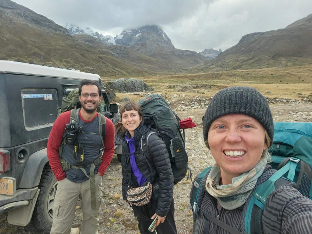

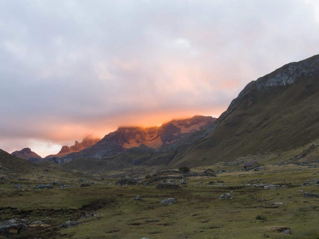
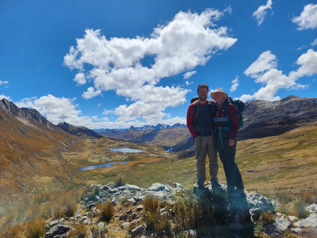
In the morning, we left our tents and most of our gear behind, under the watchful eye of the very friendly ladies that ran the campground. We headed off to the north, in the opposite direction of most hikers. The hike started off mostly flat, through broad mountain meadows, with glacier-capped 18,000ft peaks towering overhead. Every now and then we would hear the booming and crashing sound of avalanches or rockfalls, though we could never pinpoint exactly where they were coming from. We continued on through the broad valley, and begun our climb up to the ridgetop. The trail was thankfully in pretty good shape and not too steep, so we didn’t get too out of breath during our climb from the campsite at around 14,000ft to Siula Pass at nearly 16,000ft. We stopped here to enjoy the view- the tops of the mountains on the other side of the pass were covered in cloud, but we could still appreciate the incredible ruggedness of this mountain range. The sustained steepness of the ice-covered ridges was incredible.
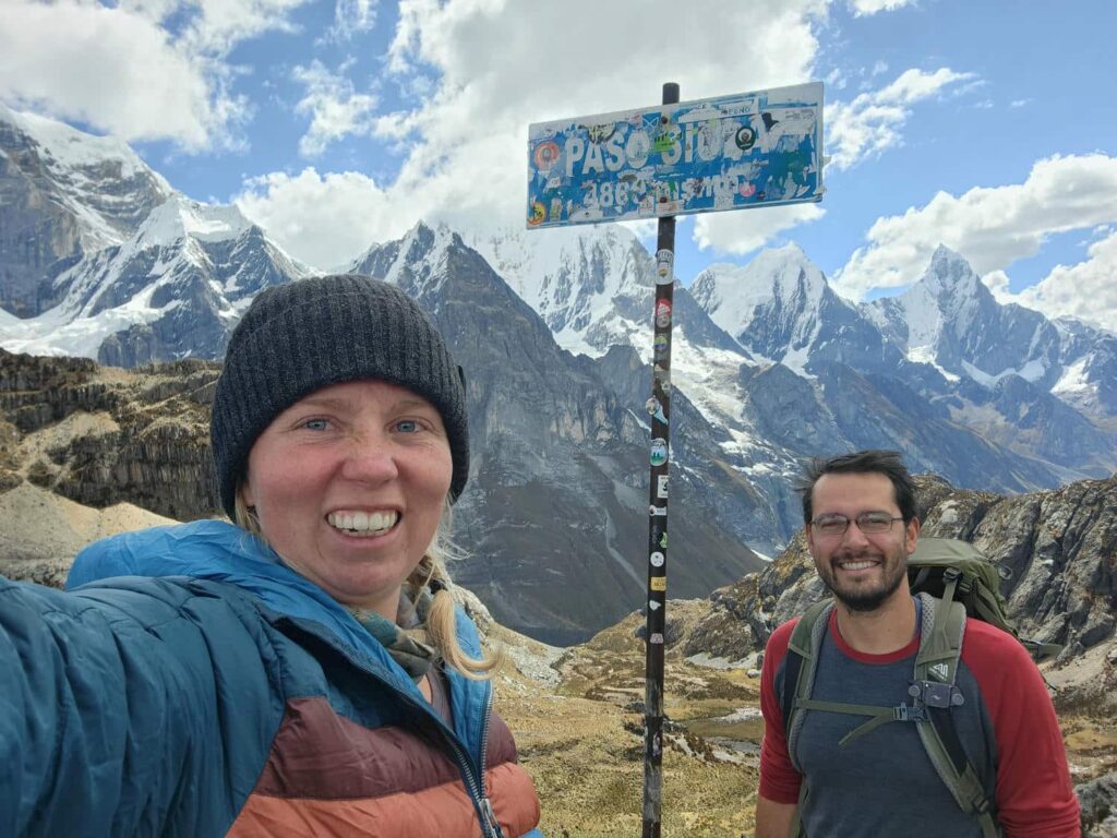
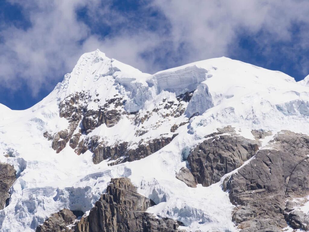
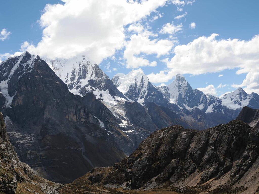
The line of mountains we could now see on the north side of the pass were the 20,814 Siula Grande, the giant 21,768 ft Yerupaja, 20,082ft Yerupaja Chico, and 20,095ft Jirishanca, which translates as “hummingbird bill peak”. Standing at just under 16,000ft, it was ridiculous to think that we still would have another 4000 vertical feet to go if we were crazy enough to want to climb any of them. Here at the pass, we met a few hikers doing the normal 8-day circuit, who were all a bit confused as to why we were going the wrong way!

From the pass, we headed down the north side of the ridge, which was much steeper, and the three of us all dreaded coming back up it. We continued down the valley to a famous point, “Mirador de los tres lagunas”, or “viewpoint of the three lakes”. The view from here is one of the most iconic views in Peru, and possibly even South America. Stretched out before us are two glacial moraines, each holding back a turquoise-blue lake, with a third brilliantly blue lake between the two, hemmed in by the lateral moraines.
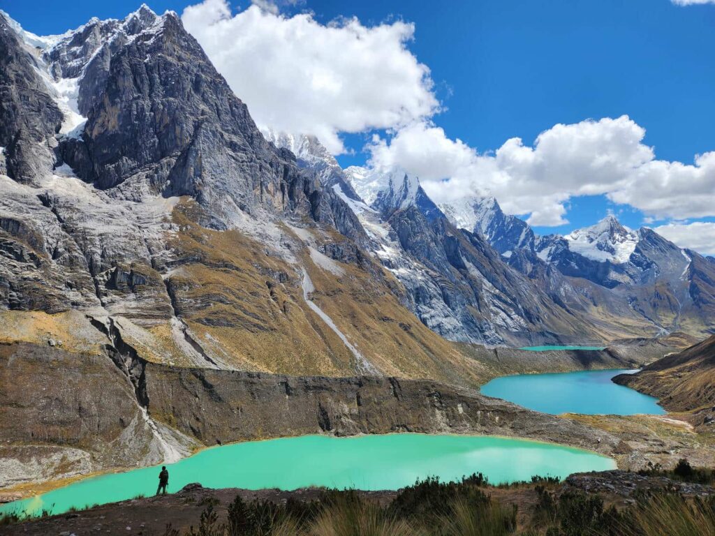
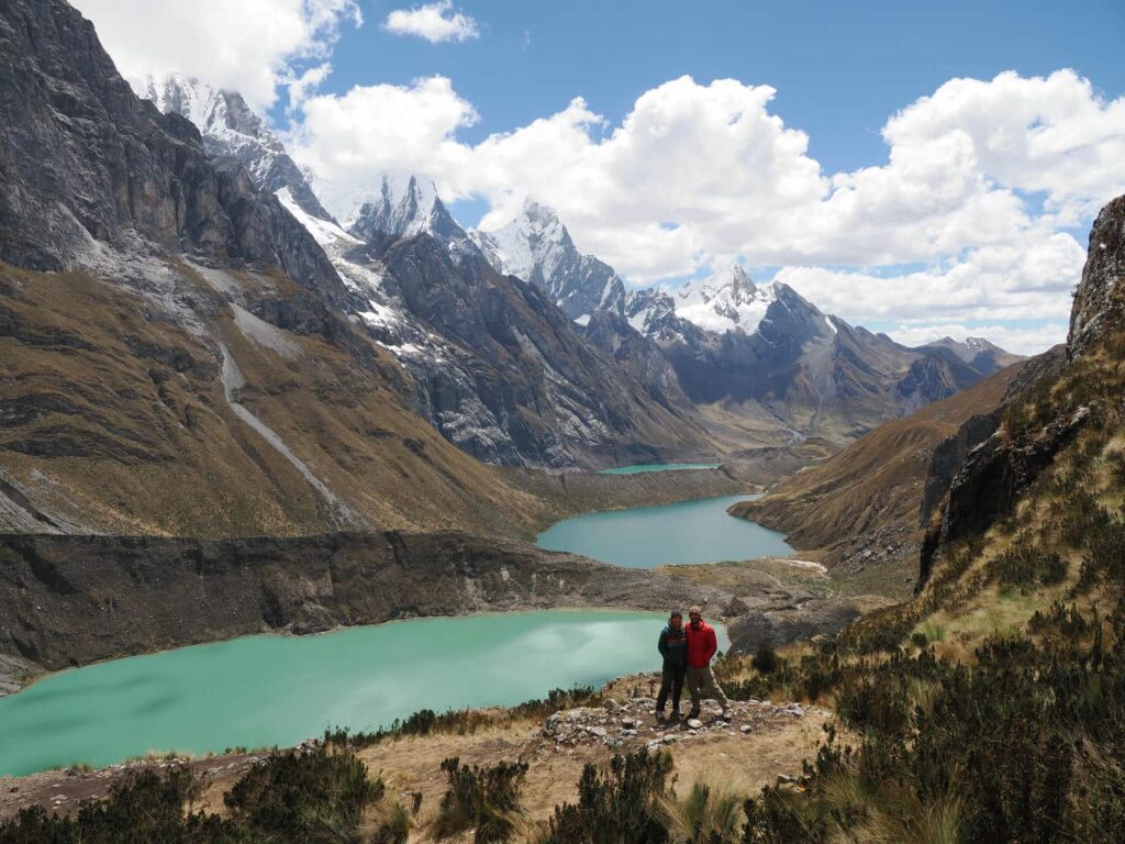
To our left is a jumbled glacier that fills in the valley, and above us are the aforementioned 20,000ft monoliths, their peaks shrouded in cloud. We sat here for nearly an hour, all alone. It was almost certainly the most impressive view that I have ever seen in my life. Here also we could hear and sometimes see avalanches tumbling down the mountains from time to time- ending in puffs of white snow high above the lakes. It was hard for us to leave, but we headed back up to Siula Pass, which wasn’t nearly as difficult as we thought it would be. Then was the long walk downhill back to the campground, which somehow felt like it took much longer on the way down than on the way up! We got back to camp exhausted, after having done around 3000ft of elevation gain on the day, all over 14,000ft!
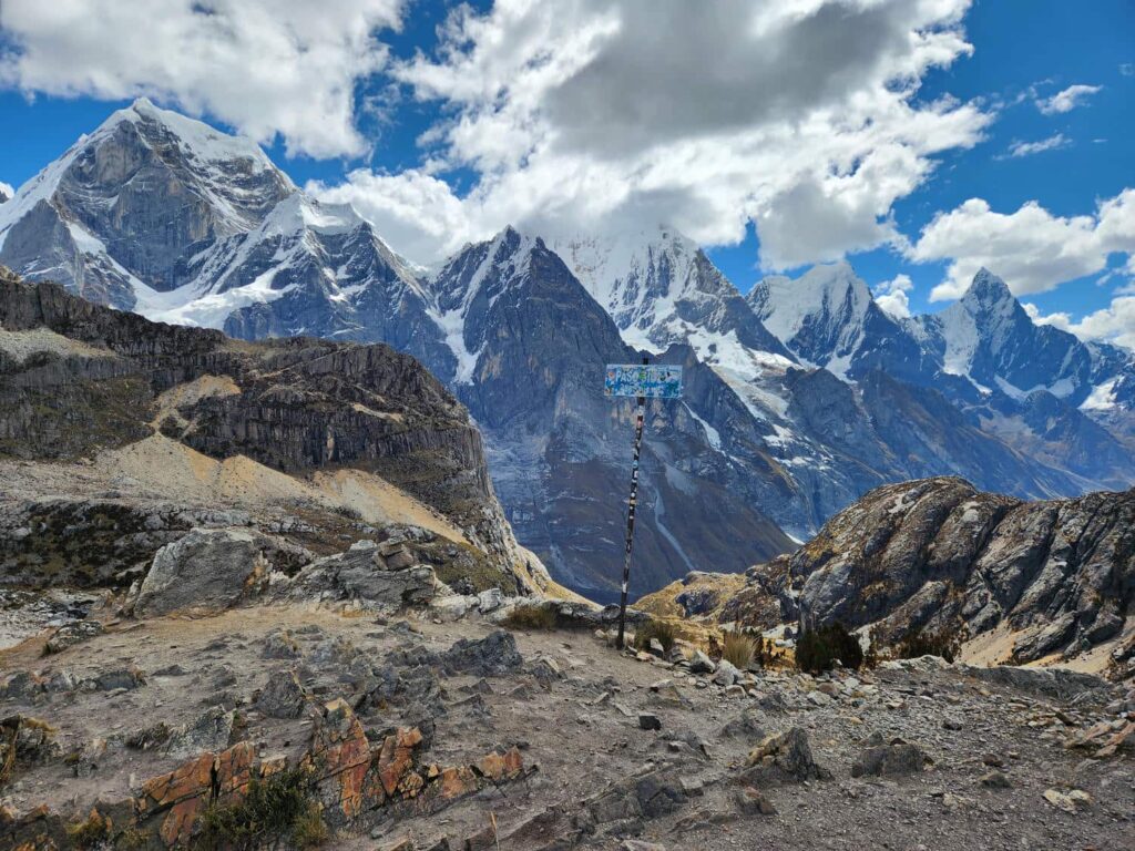
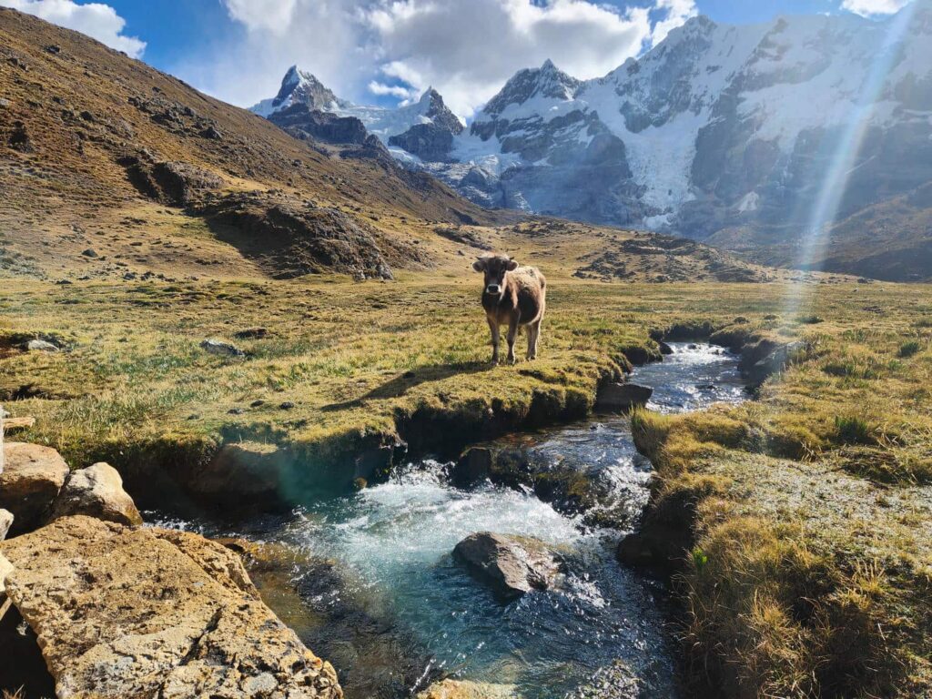
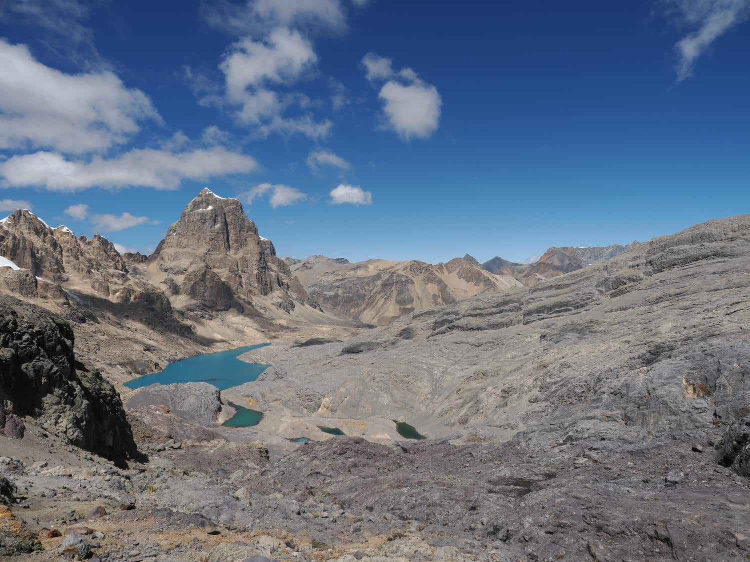
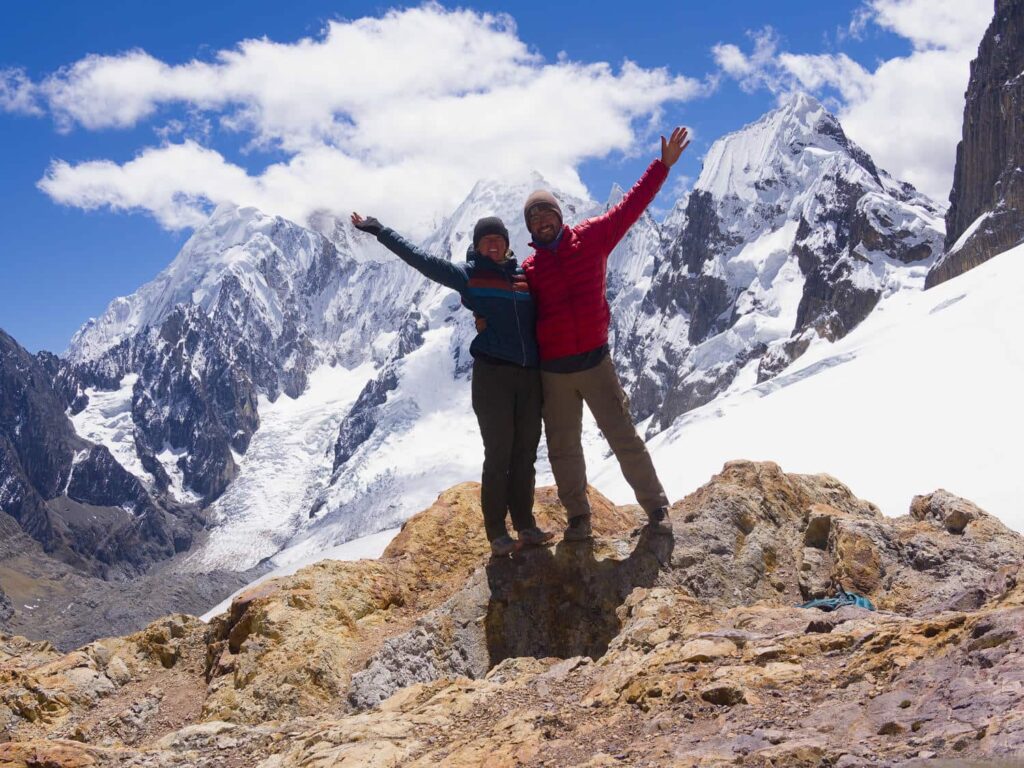
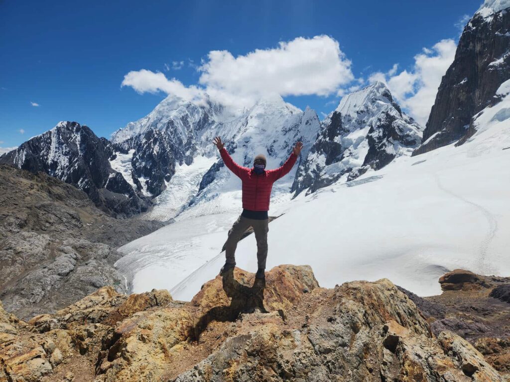
The next morning, we all got up and ate breakfast before heading south on the trail, in the “correct” direction. Veronika really wasn’t feeling well and made it about half a mile away from the campground with us, before deciding to go back, and ended up spending the entire day sleeping in her tent. Delaney and I were fortunately feeling great, and we climbed and climbed towards Trapecio Pass. Nevado Trapecio (Mt. Trapecio) loomed over us the whole day, as we circled from it’s southeastern flank to the northeastern side where the eponymous pass was. We thought we were moving quickly and doing great, until a park ranger absolutely zoomed past us! There are absolutely levels to this- we couldn’t believe how quickly he was moving at 16,000ft. After several hours of ascending, we made it to the windy and desolate pass, with a ridiculous view to the other side. We looked around for a lunch spot, and remembered that a guide that we’d met in Huaraz had recommended continuing up the ridge above the pass. We did, and after a breathless climb just a few hundred feet higher, we came to a glacially rounded mountaintop. Here we had amazing views straight across at the Jurau Glacier. Further to our left, we could see the backside of several of the mountains we’d seen yesterday from Siula Pass, including Siula Grande.
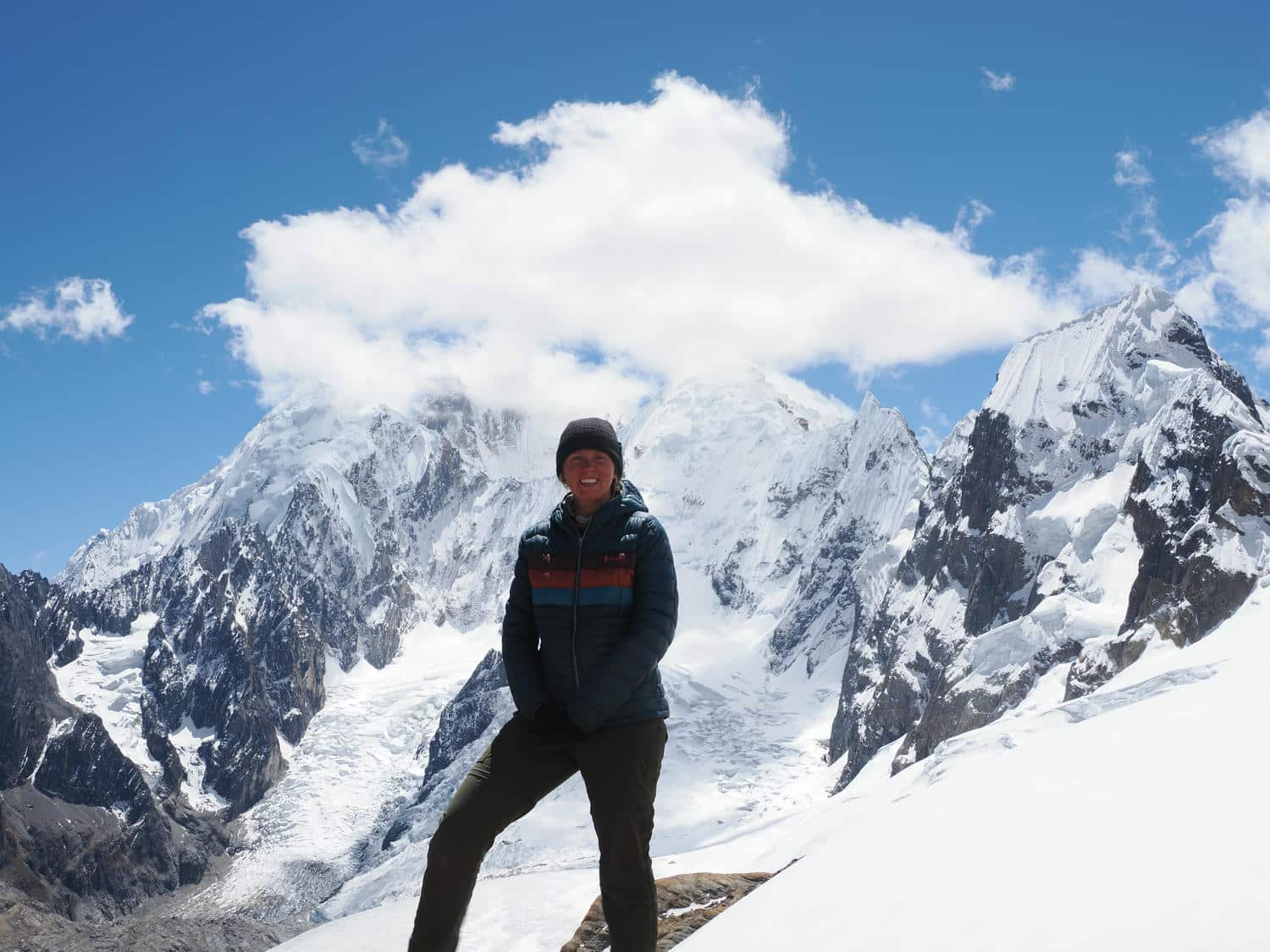
Siula Grande is the site of one of the greatest human survival stories ever, after mountaineers Joe Simpson and Simon Yates recorded the first ascent of Siula Grande’s west face. As they were descending into worsening blizzard conditions, Joe Simpson fell on an ice cliff, badly breaking his leg. Despite such an injury being almost certain death on the nearly vertical 4,500ft face, Simon Yates lowered Joe 300 feet at a time, before climbing down himself and repeating the process. Unfortunately, after 3,000ft of successfully descending, Joe was lowered over an invisible cliff in the raging blizzard. The rope wasn’t long enough to belay Joe down to the bottom of the cliff, and Simon couldn’t pull Joe back up by himself. Joe dangled in free space as Simon held him by the rope dangling over the cliff for well over an hour, until the snow beneath him began to crumble. Simon was forced to make the unthinkable decision to cut the rope.
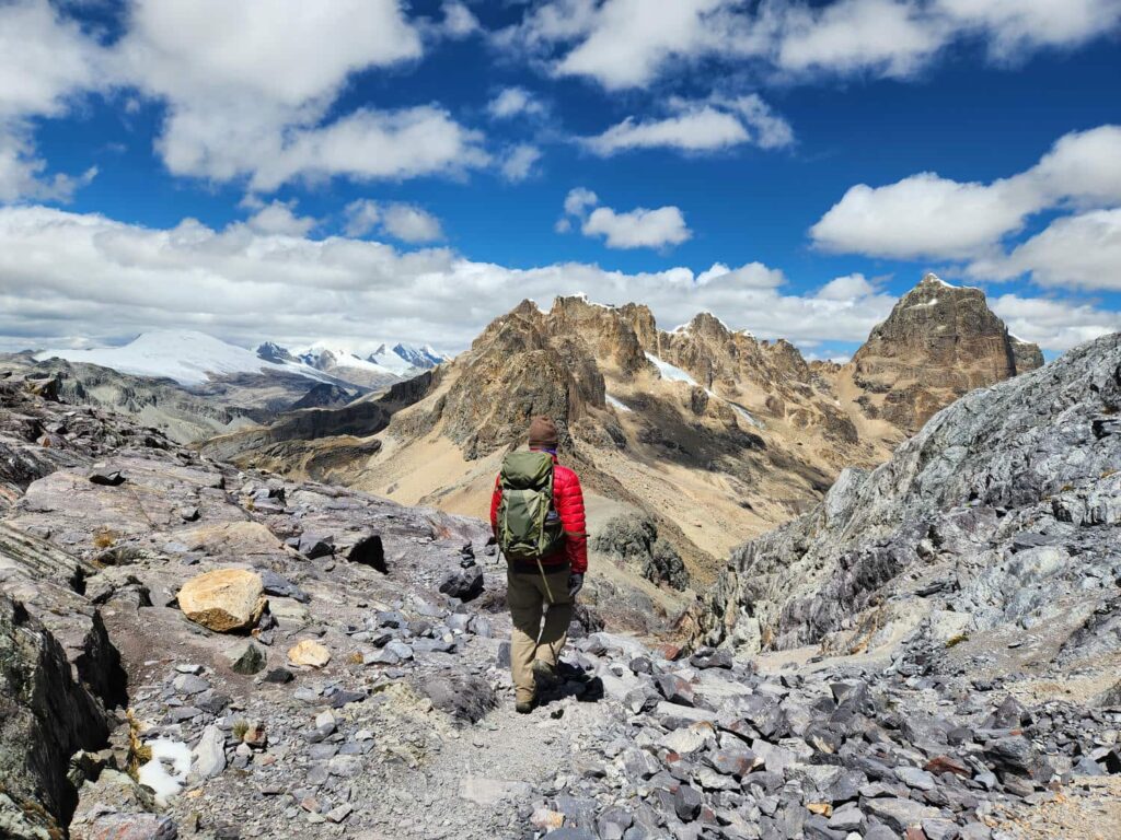
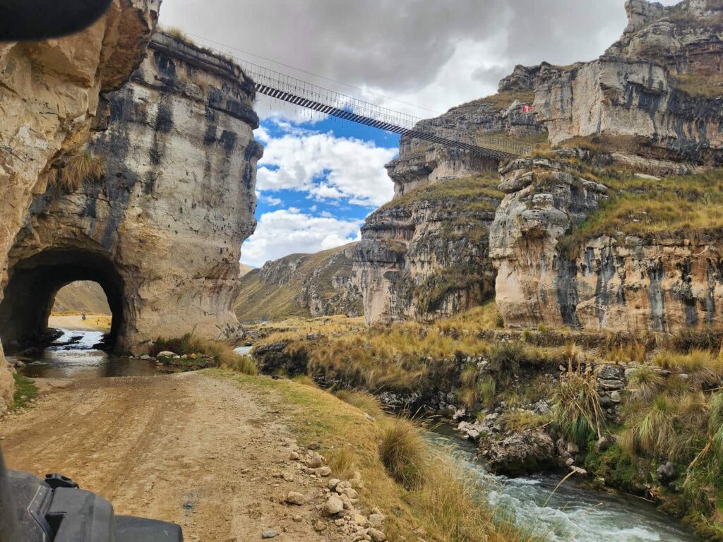
I’ll hold off on spoiling the rest of the story, but a book called Touching the Void was written about the event, and I highly recommend it. It was surreal to sit at our viewpoint and look at the giant west face of Siula Grande where the disaster had occurred. We ate lunch in the blinding sunlight at nearly 17,000ft, and were surprised at how relatively nice the weather was. It was hard to pull away, but we were hoping to make it back to camp, pack up, and get back down to the jeep. This time, our hike back to camp seemed to take no time at all. Veronika had spent the entire day sleeping in her tent, but had mostly recovered. We were able to get everything packed up and hike down to the jeep with plenty of daylight left. It was a very long day, but worth it! I’m always a bit anxious leaving the jeep behind, and it was satisfying to get back to it. Instead of pitch her tent, Veronika decided to sleep in the “downstairs” of the jeep between our cabinets, where she’d taken a long nap on the drive to the Cordillera Huayhuash from Huaraz. Apparently it was quite warm and comfortable! We left the next morning, stopping at some interesting areas we’d noticed on the way up, including some slot canyons and a precarious log footbridge over a gorge. On our way back to La Union, we ran into Ibad, a cyclist whom Veronika had met it Caraz the day we’d left. He also recognized our stickers from seeing one we’d left at Tambo Lodge in Ecuador- such a small world! We dropped off Veronika in La Union, where she caught a bus north back to Huaraz.

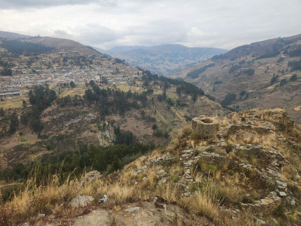
We continued south from La Union on the 3N, which was in very poor shape- lots of landslides reducing the road to one lane, and lots of potholes from all the heavy trucks. We camped at the archeological site of Tacaj that night, and explored the ruins in the morning. The ruins were little more than stone outlines of what had used to be houses or fortifications, but the site was stunning, placed on a ridgetop protruding into the juncture of two valleys. It would have been a great spot to see if the wrong people were approaching! We continued on the 3N to Huánuco, enduring a pretty terrible road most of the way. It is only 80 miles from La Union to Huánuco, but it took us nearly 6 hours of total driving time, and this was a main highway! Travel speeds are just different here. There was a big market day going on in Huánuco with lots of streets closed, so it took us a bit to get to the grocery store we were heading towards. We are so glad we did though- it was probably the best store up to this point in Peru! We had found a really nice grocery store in Cajamarca, but other than that, the stores were pretty disappointing until now. It was in a huge mall with lots of different stores, including some familiar fast food places- we couldn’t resist KFC for lunch. All loaded up, we drove out of Huánuco to the south. The road was in decent enough shape, but it was steep and windy, with a huge number of big trucks. We spent the next hour or so passing truck after truck on the long uphill grade. We both get nervous when we’re sitting in the passenger seat and the other person is passing trucks- it is so hard to judge here with the slow speeds and tight corners. The roads are just so different here- steep grades you’d never see on an American highway, tight corners, massive potholes, narrow lanes, and perhaps most dangerous of all- absolutely zero shoulder. All of this results in the giant trucks crawling along at 10 or 20mph, with the smaller trucks and motorcycles constantly jockeying to pass. With all the tight corners, you never know if the next vehicle coming in the opposite lane will be a super slow truck, or a speeding motorcycle.
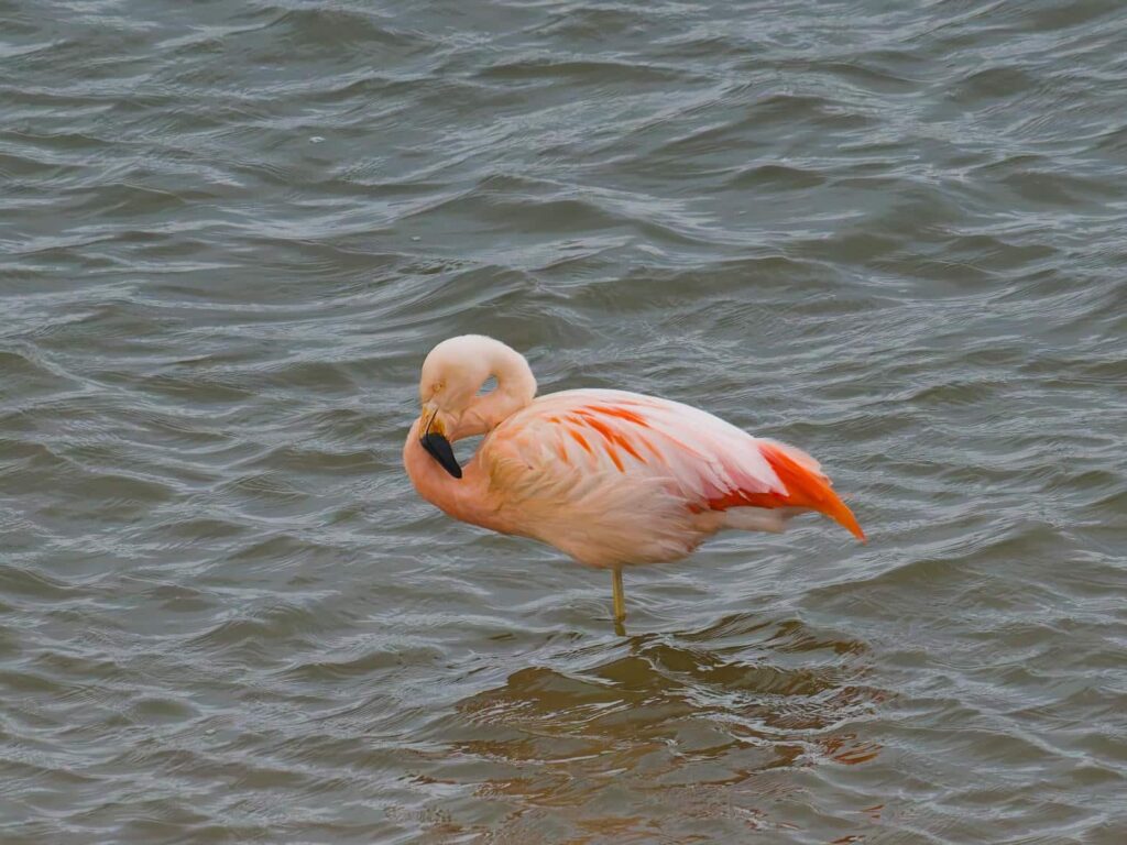
We climbed and climbed until we were in an area far above treeline that reminded us a lot of the area around Leadville, Colorado. There was lots of evidence of mining, no trees, and it was pretty windy and cold. We continued on through the dirty mining towns, which looked quite poor and dusty other than the truck and equipment dealers and workshops- Volvo, Caterpillar, and Cummins. Continuing on, we left the highway for a small two-track dirt road that went in the direction of the campsite we hoped to stay at. The road thankfully got a bit larger, and we drove around the south shore of Lake Junin through remote and poor sheepherding towns. Lake Junin is the second-largest lake in Peru, and the largest one entirely within it’s borders- the giant Lake Titicaca is shared with Bolivia. The lake is quite shallow, and has enormous tracts of grassy swampland around nearly the entire lake, resulting in excellent bird and wildlife habitat. We found a fantastic campsite at a lookout point on the lake, which was quite impressive though obviously rarely visited. We watched flamingos, ducks, ibis, grebes, and even a fox out in the marshy edges of the lake.
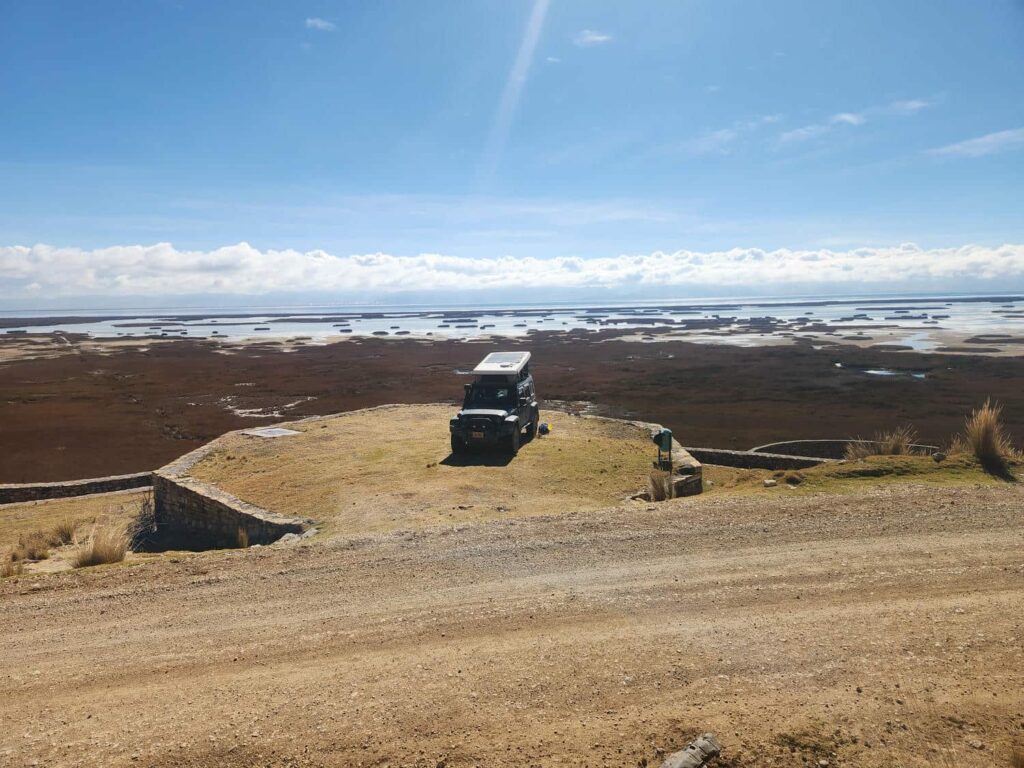
We weren’t feeling particularly motivated the next day, as we still hadn’t really recovered from our Huayhuash trek, so we decided to stay a second night. The previous evening, I’d received an email I had almost forgotten that I’d been expecting- a reply from a birdwatching company. I’d inquired a month or so before about any pelagic trips that might be scheduled for around the time we’d be near Lima. On pelagic birding trips, you are taken out into the open ocean, at least 5 miles from shore, to find birds that are seldom seen from land- albatrosses, petrels, and shearwaters. The only place in Peru that they are commonly done is near Lima. I’d heard back that there were no planned trips, but that they’d let me know if something materialized. The email I received said that there would be a trip on September 1st, in about two weeks. I excitedly responded that I was very interested, and told him that we were at Lake Junin now looking for the endemic Black-Breasted Hillstar (which I later found). The next morning, just as I was getting out of the jeep after waking up, a car pulled up, with most of the occupants heading down to the lake, but one of them walked towards the jeep. As he got closer, he said, “You must be Robert!”. This was Gunnar, the birdwatching guide I’d emailed the previous night, who just happened to be guiding other clients on a trip to find some of the many birds around Lake Junin. What a coincidence!
With the pelagic trip scheduled for both Delaney and I, we had a bit of planning to do. We were actually quite close to Lima, and also to where the pelagic tour would be leaving, further south down the coast at San Juan de Marcona. Not really wanting to spend the next two weeks in the area, we decided to do a sort of “cannonball run” to the south-west corner of the country, before coming back up the coast to do the tour, before finally heading to Cusco. It was a bit out-of-order of what we’d originally planned, but thankfully hardly any of our plans are ever set in stone! Speaking of stone, our next stop was just east of Lake Junin, at the Bosque de Piedras, or Stone Forest. We’d already seen some of the massive stone pillars on our way into Lake Junin, but there were many, many more. We drove the dirt road through the pillars for miles, stopping at a few viewpoints or special formations, such as “The Alpaca”.
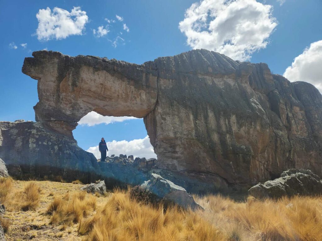
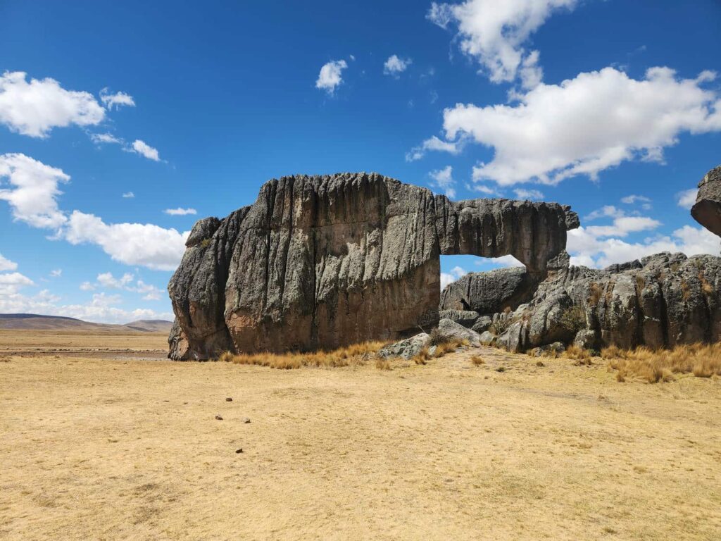
The endless ridges of pillars ended, but the road continued, albeit with lots of cattle gates for us to open and close. We hoped to go all the way through and make a loop back to the highway, but about halfway through, we were stopped by a construction worker- they had just paved the road, and it would be closed for the next few hours! We reluctantly backtracked all the way back through the stone pillars and back to the highway. The highway was in very good shape, and other than a delay for a very large truck and trailer, we made good progress. It was beautiful, and very high elevation- well over 14,000ft. We passed snow covered mountains, alpine lakes, and amazingly colorful rock formations.
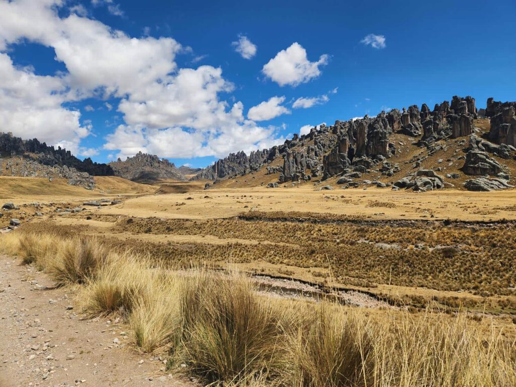
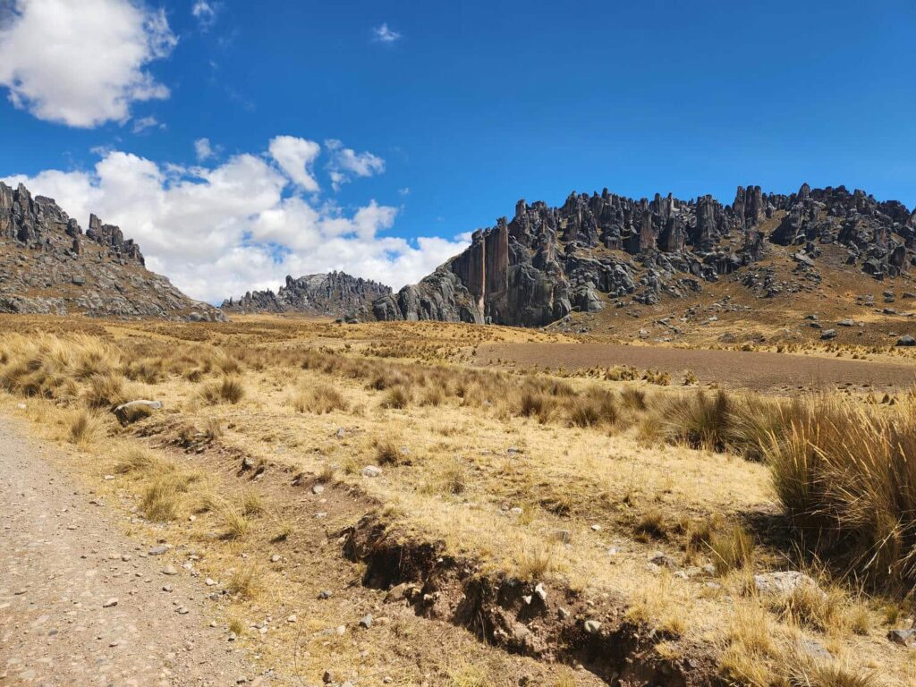
We turned off at the town of Yantac, following a tiny dirt road through some breathtakingly beautiful mountains. This route is part of the Peru Great Divide, a popular bikepacking route, but we saw no bikers the whole time. We passed more alpine lakes and stunning, desolate mountains, as well as a few tiny villages that seemed to be mostly in the business of raising alpacas. We camped by a small stream for the night, and were surprised to see two men walking up the stream, fishing with a net and stick. One of them would poke around the rocks, and the other would hold the net to capture any fish that might be flushed out. One of them looked a bit unfriendly and said that the land we were on was private property, but after talking with them a bit they were happy to let us stay for the night. It was a chilly night, but we stayed warm and comfortable. In the morning, we drove further up the road to a high mountain pass, Abra Sungar. Just down from the ridge was a boggy, mossy area, which are a very unique habitat in this part of the Andes.
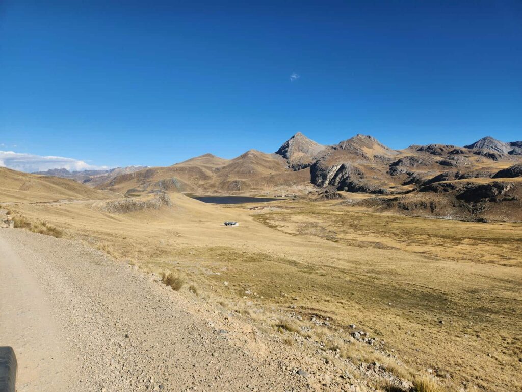
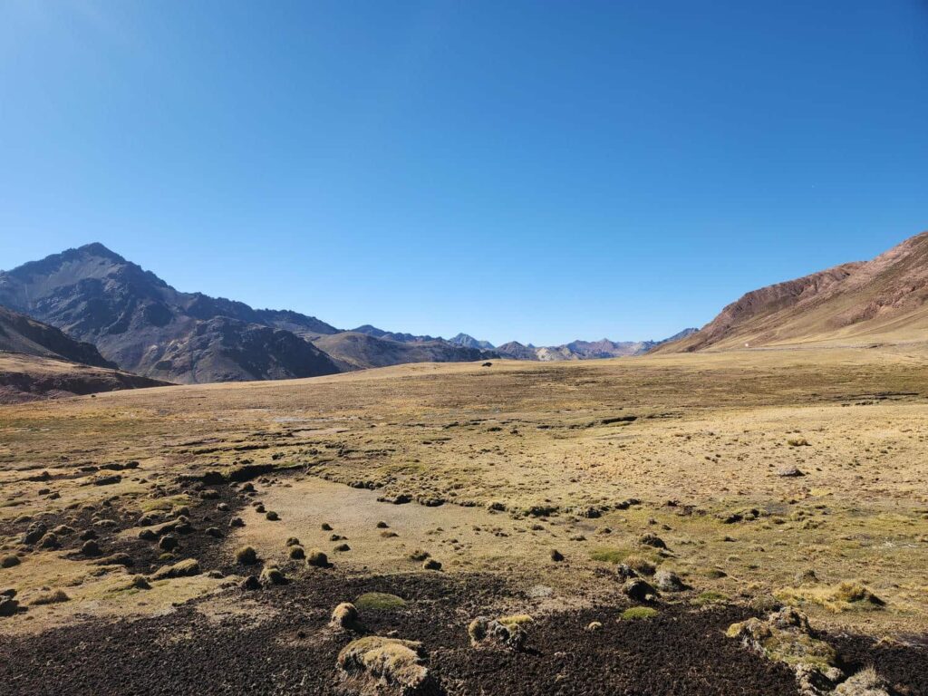
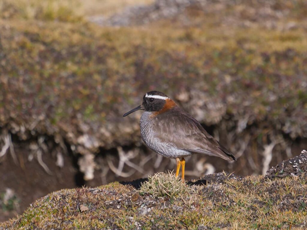
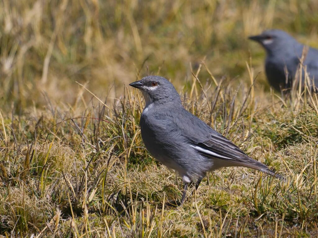
These high mountain bogs host all kinds of animals, but especially birds. There were lots of Glacier Finches, which are famous for being the only bird that nests on glaciers! They build their nests exclusively in hollows of ice on high-altitude glaciers. We also successfully found our main target, the rare Diademed Sandpiper-Plover, an endangered type of shorebird found only in these high mountain bogs. We continued further south, where we met up with Highway 22, a major trucking route out of Lima.
Just before we reached the highway, we saw a train high on the slopes above. This was the Ferrocarril Central Andino, previously the highest and now the second-highest railway in the world, after a new one was completed in China in 2006. It was crazy to see a train so high up a mountain! After joining the highway, we drove up to Ticlio Mosaico, a high mountain pass.

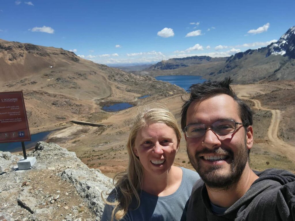
The railway had once come all the way up here, to 15,800ft, before a lower tunnel was built (at the time the highest railway tunnel in the world, now the 2nd) to shave time off the trip. We hiked up to a viewpoint above the pass, and were greeted with a breathless view to the east. We saw lakes, snowcapped mountains, and bright rust-red ridges in endless layers out to the horizon.

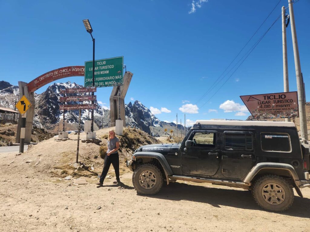
It was well worth the slow climb up the mountain behind the trucks crawling their way up. We sped back down the mountain, past the point where we’d joined the highway, before leaving the highway again to continue on the Peru Great Divide route. After dropping lots of altitude on the highway, we soon gained it again after leaving it.
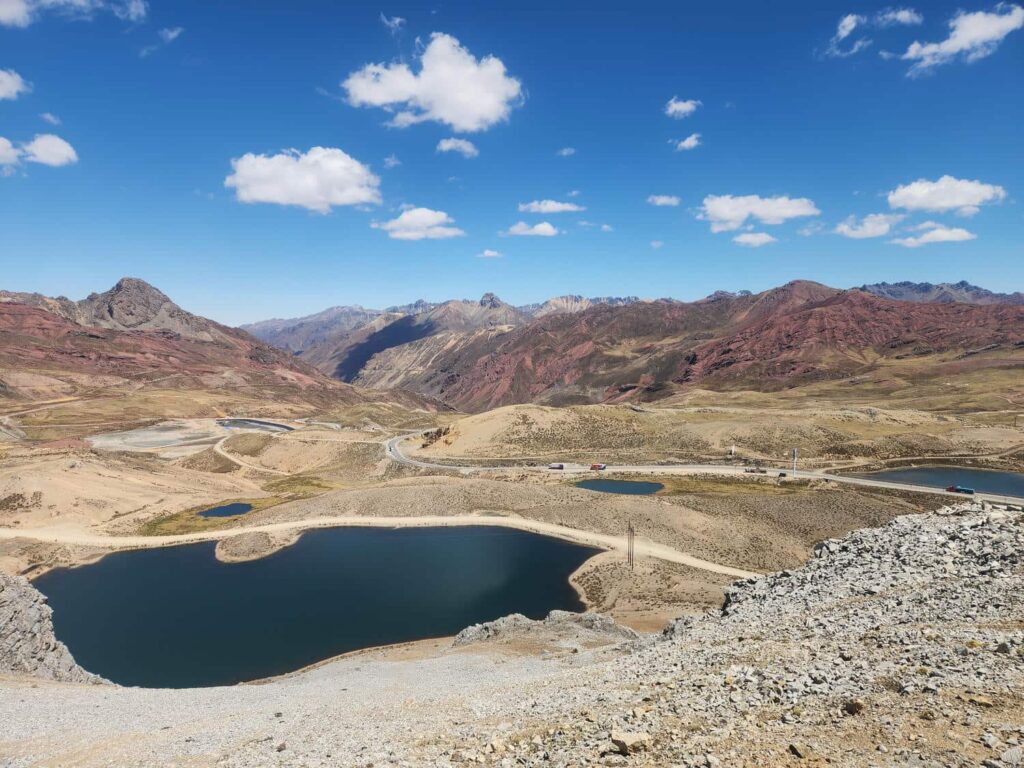
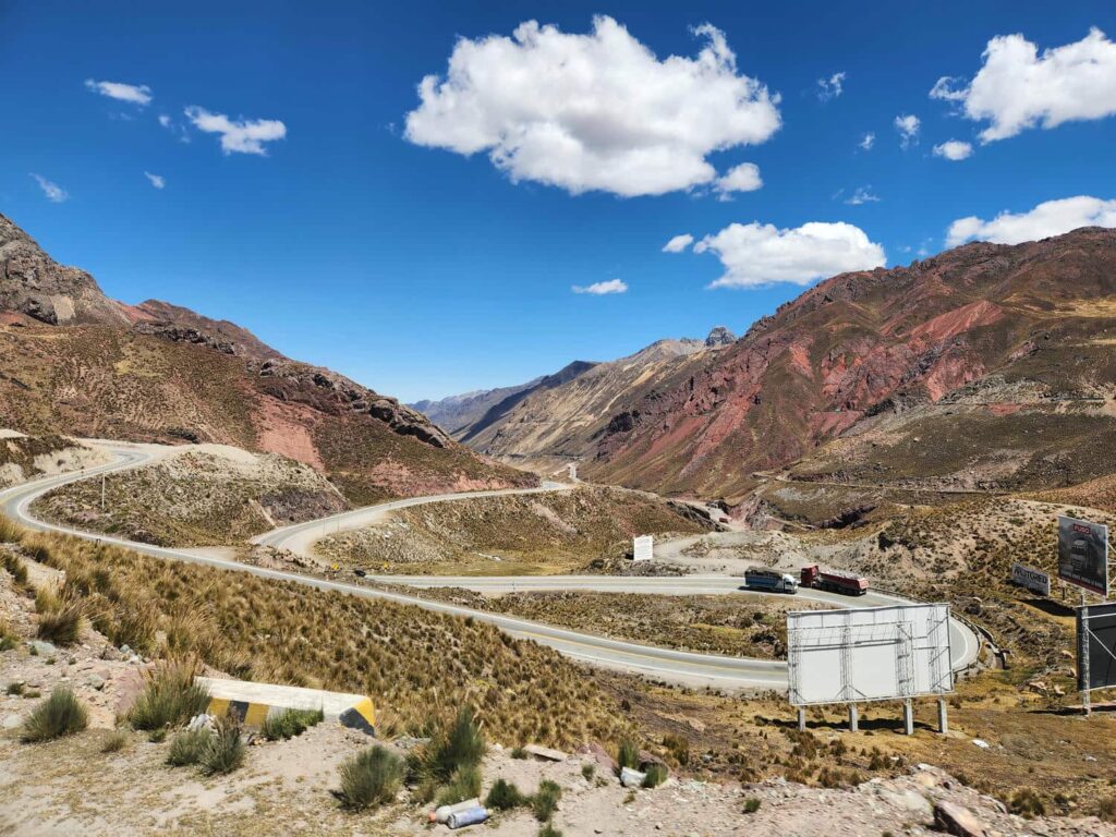
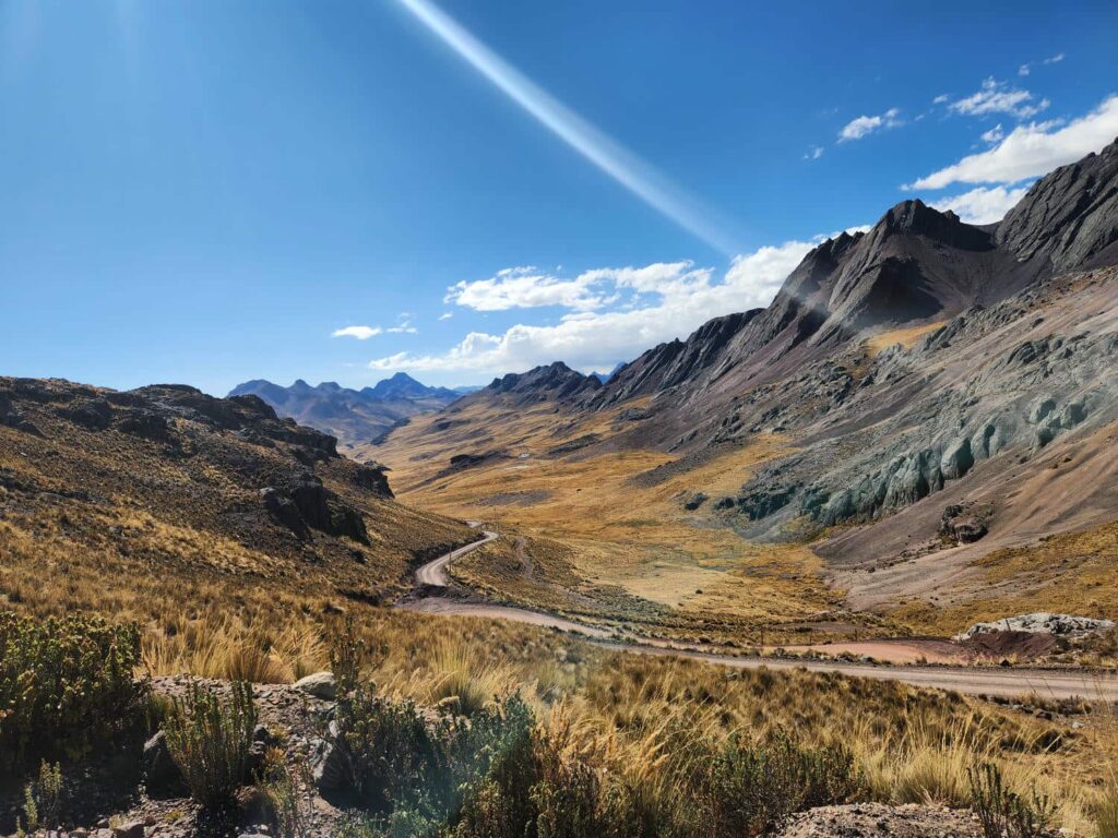
We were in the Yauyas-Cochas Reserve, another stunning high-altitude area. We camped near a mountain pass with an incredible view out over a massive alpine lake, with glacier-capped mountains behind. As we drove on the next day, the views were even better. I’d read about this place years ago from another traveler’s blog, and it did not disappoint.

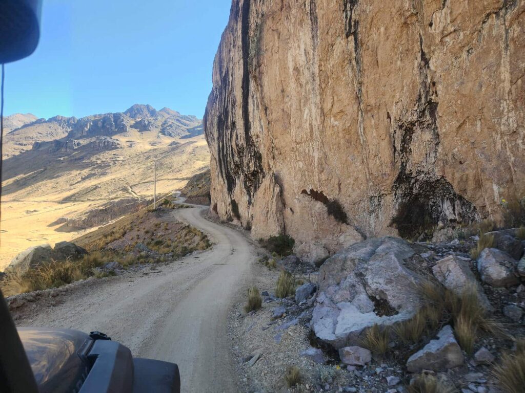
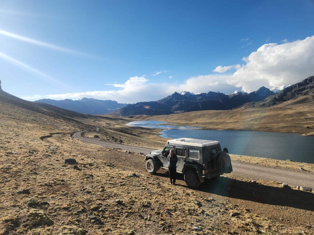
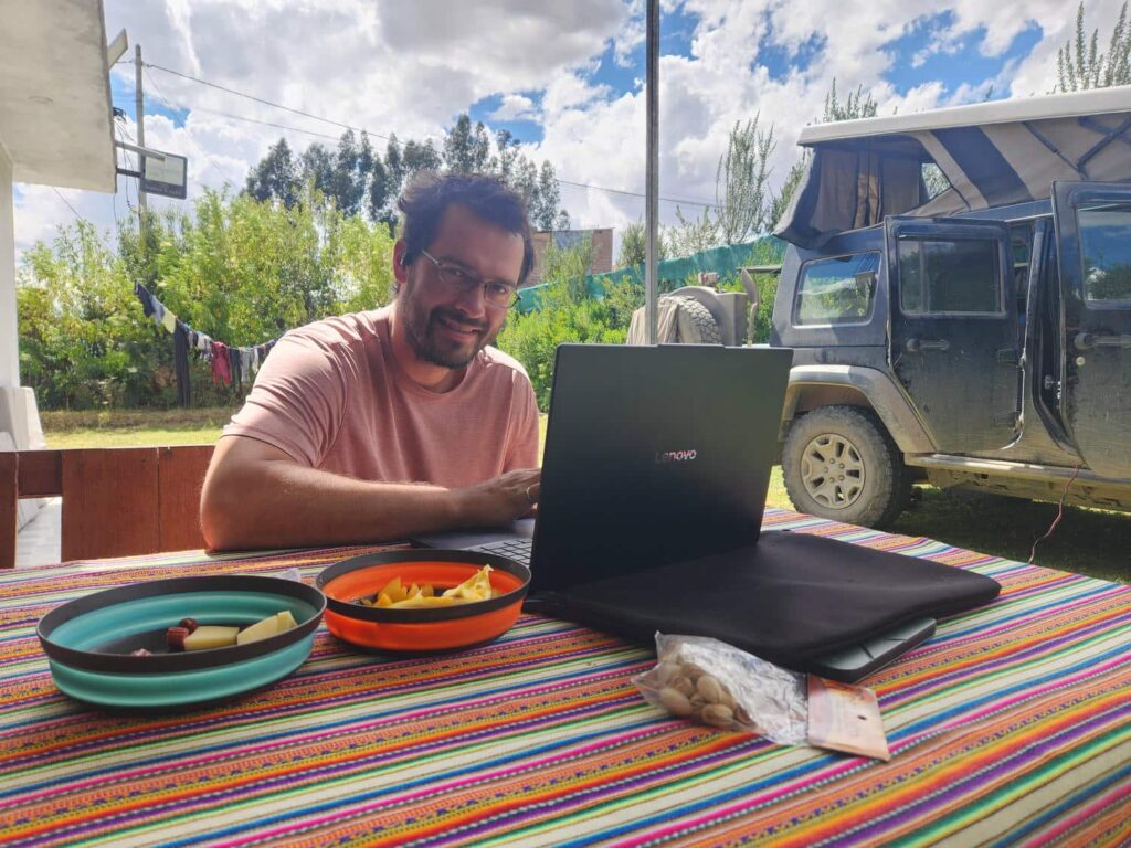
There were almost no other cars, maybe one an hour, and the views were unbelievable. We drove on and on through the lonely roads. After many hours of driving, we started to descend into more civilization. The villages became more frequent as the elevation got lower and lower, before we rejoined the highway. We eventually descended into the town of Huancayo, where we stayed at a small campground for 2 nights. We had the whole place to ourselves, which had a nice outdoor kitchen, sitting area, and a nice grassy area for us to park on. We spent most of the day there cleaning- we’d been on some very dusty roads, and the jeep is unfortunately not very well sealed, particularly the where the back window meets the tailgate. We also did some much-needed laundry, which is always a luxury.

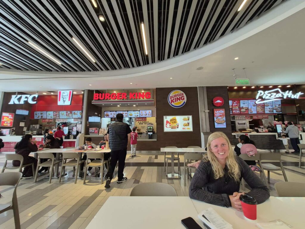
It was hard to leave the comfort of the campsite, but we needed to keep moving in order to see all the things we wanted to before having to come back towards Lima for the pelagic tour. We needed to stock up on groceries for the next week, so we found a big supermarket in the center of Huancayo. Huancayo was a very chaotic city, and it took us a bit to find the correct entrance for the giant mall that the supermarket was in. Thankfully we fit into their parking garage! We took advantage of the mall, and bought a few other things in some other shops. We found a hose to replace one underneath the jeep which had melted with the heat of the exhaust. It had been giving us a check engine light, and we had really struggled to find a similar hose! There was also a phone store there- my phone had begun to have some problems a few weeks before. It would randomly freeze for a minute or two, especially when opening a new app, or the camera. It was extremely frustrating, and it had been getting steadily worse. It was great to get a new phone and to stop worrying about having it quit completely in the middle of nowhere. Upstairs in the mall were also a huge assortment of familiar fast food restaurants, and we couldn’t resist a hamburger and a pizza to have later for dinner!
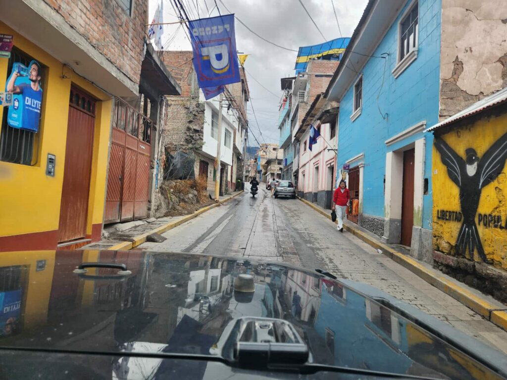
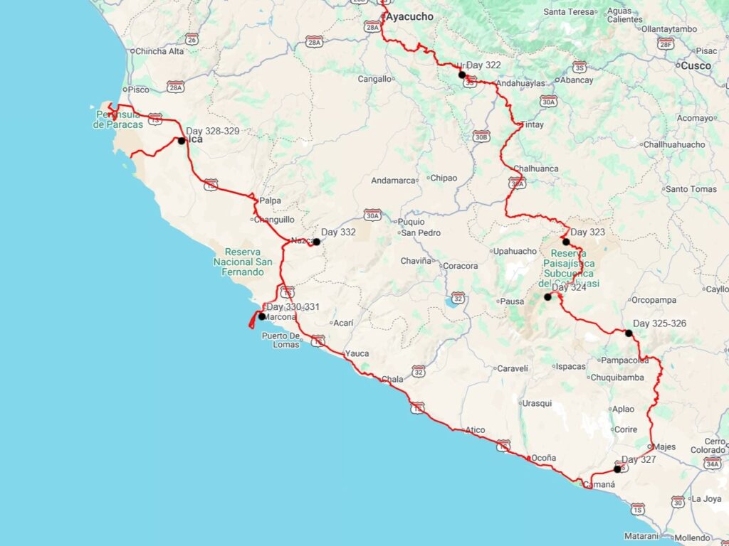
All stocked up, we headed south of town. The road was in good shape at first, but got worse and worse as we descended into a canyon. It nearly became a shelf road, and it was shocking to see that this was still a truck route! We saw semi trucks going down a road that would be barely classified as a forest service road in the U.S. The truck drivers here are something else. We spent the night on a rocky riverbed, and got up the next morning to continue down the road. After a few hours we came to the town of Ayacucho, which has a famous textile market. Most of the small stalls were closed, but enough were open to make it well worth the time to visit. The shopkeepers were all super nice, and we ended up buying a few handmade alpaca wool sweaters. They were only around 50 soles each, or around $15USD! It is crazy how cheap things are here. We drove out of Ayacucho towards Andahualyas, and enjoyed a beautiful highway that stayed on top of a long ridge, finding a great campsite in an old gravel pit well off the highway. After Andahualyas, we took a back road to the southeast to get over to highway 30A, which we followed up to Izcahuaca. We learned about a month later that the bridge from the back road to highway 30A collapsed suddenly when two large dump trucks drove over it at the same time. Glad we weren’t there for that! At Izcahuaca, we paid one of several “community fees” to a nice young woman. These fees supposedly go to road maintenance, but it really felt like the village taking advantage of their path between a highway and a major tourist destination.
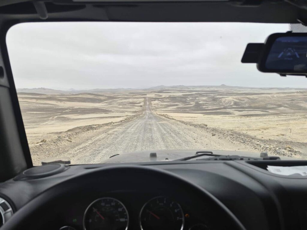
After the village, we passed a few small mining areas, but this area was mostly desolate. It was at a very high altitude, and there was almost no vegetation to speak of. This was the very beginning of the Atacama Desert, the driest desert on earth. Some parts of the desert, especially in Argentina and Chile, have not seen rain since recordkeeping began. It was cold, windy, and completely devoid of life. We drove on and on, trying to find a decent campsite, hoping to descend a bit- but the road kept climbing! We ended up crossing a 16,700ft pass at sunset, before having to plow through a small snowdrift across the road.
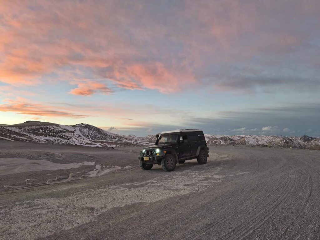
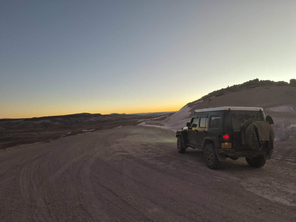
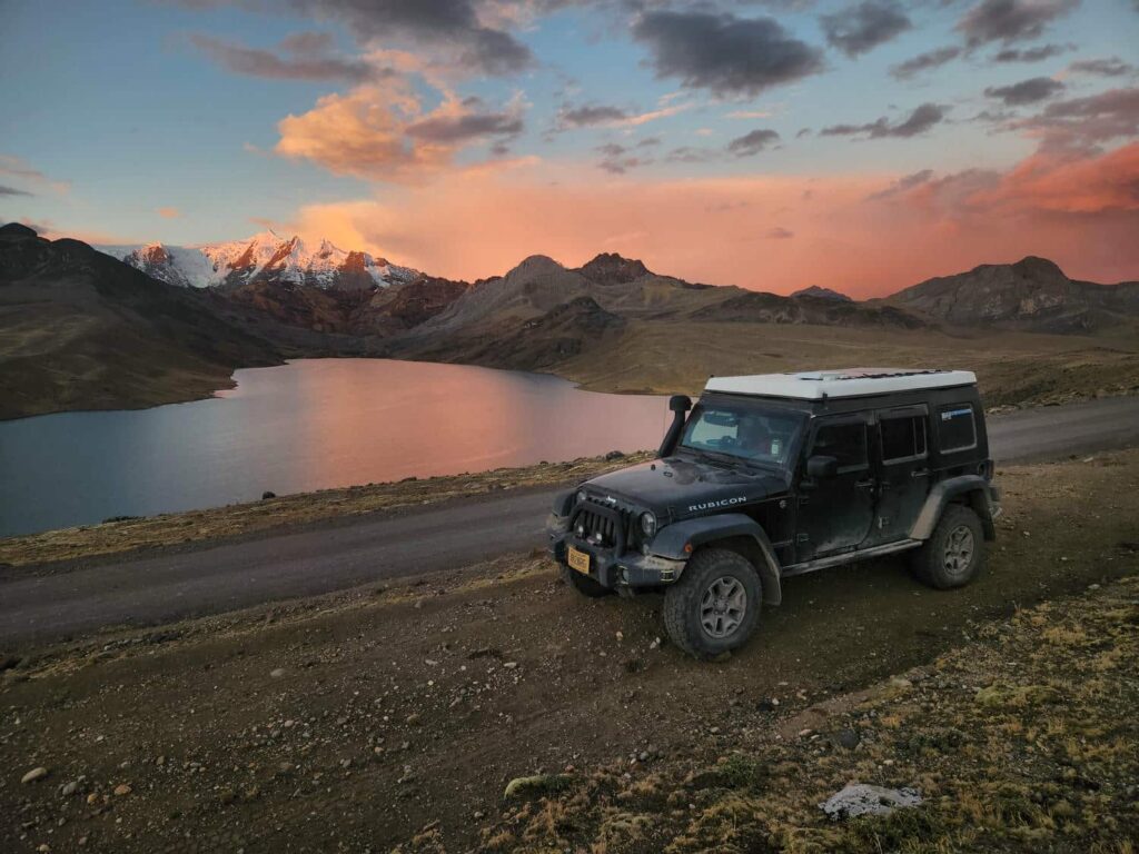
As it became dark, we finally found a spot a bit lower at 15,800ft. How crazy things are that 15,800ft is now “a bit lower”! We’re very thankful for our acclimatization, because we actually slept pretty well. We continued on in the morning, descending into a massive valley. We weren’t entirely sure if the road we were on was going to go through, but it wasn’t too much trouble. We had come all this way south to visit two enormous canyons: Cotahuasi and Colca. Each of them is 11,000ft deep, roughly twice that of the Grand Canyon in the U.S. We descended down the valley, passing several small communities. This gave us a lot more confidence that the road would actually go through!
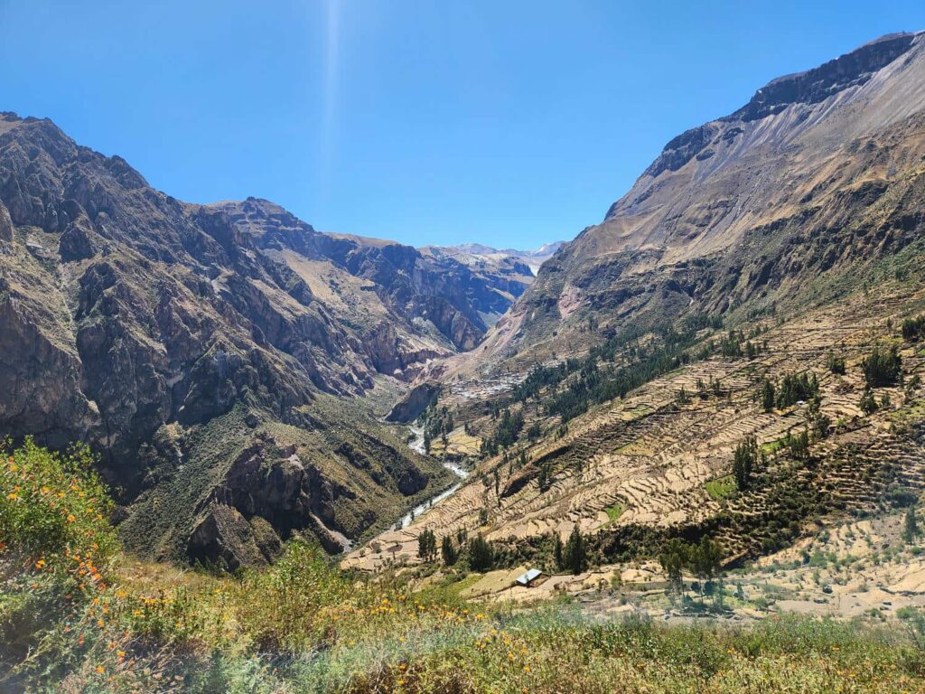

Our descent through Cotahuasi Canyon was spectacular. Shelf roads, towering cliffs, waterfalls, and the ever-present alpacas. It took us all day, but we made it to the town of Cotahuasi at the bottom of the canyon. Looking up at the canyon walls was awe-inspiring, as the top of the canyon was around 8000ft above us here. We descended down the valley a bit past the town, and found an amazing campsite off a shelf road, on a small ridge protruding into the center of the canyon. Our views were outstanding, and the stars that night were even better! In the morning, we drove back up the canyon a little bit, and took a short walk to Sipia Waterfall, where the river at the bottom of the canyon plunges into a narrow gorge. We tried all sorts of different angles to see the bottom of the waterfall, but it was too dangerous to lean over the edge! Back in the town of Cotahuasi, we filled up on gas. It had been a long way since the last gas station, and we had a ways to go yet! We climbed to the south, back out of Cotahuasi Canyon, up endless switchbacks.
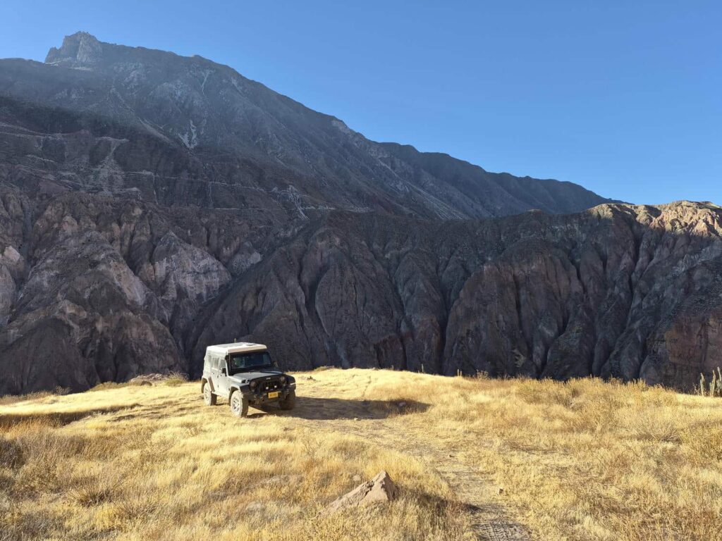
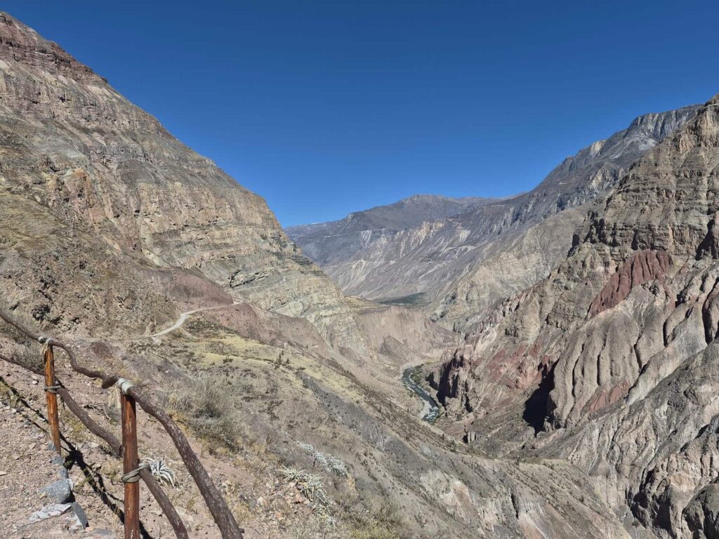
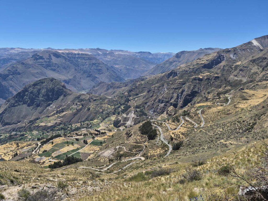
We made lunch at the top and admired the view one last time. Continuing south, we crossed a flat plateau between the two canyons. To our west was Coropuna, a 20,922 volcano that marks the southern edge of Cotahuasi Canyon and the northern edge of Colca Canyon. Along the flat plateau, the road crossed a few streams that were a few feet deep, but nothing the jeep couldn’t handle! We then started our way down into Colca Canyon, stopping to camp at the parking lot for a hike up a small volcanic cone, Antaymarca. It was off the road a bit, in a flat sandy area, with beautiful views of the canyon, and flowers and hummingbirds all around us. Perfect! We were hemmed in on nearly all sides by an ancient lava flow, giving us plenty of privacy and hiding us from the wind.
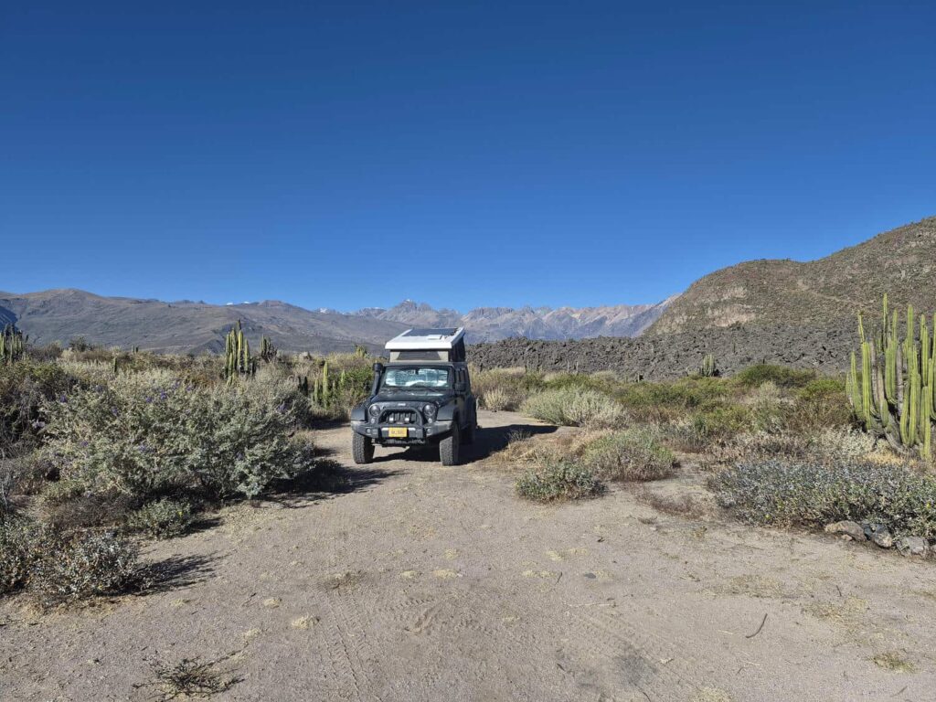
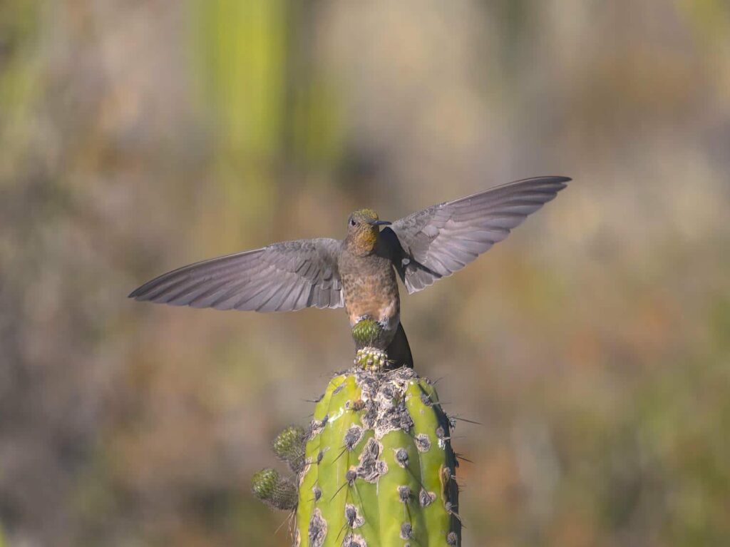
We slept in the next morning and quickly decided that despite our tight timeline, we had a day to spare, and that this spot was too good to not spend two nights at. We relaxed for most of the day, watching the hummingbirds zoom around, and enjoying the perfect sunny weather. That evening, we headed up the small volcano, Antaymarca. All the ground around us was black or red lava, rough and craggy. As we climbed up the trail, we noticed that there were all sorts of stone foundations build on top of the expansive lava field. It was an archeological ruin, and we had no idea that it was even there! The higher we climbed, the more we saw. The buildings were everywhere! They were really just circles of stone, but it was still really interesting. They were camouflaged very well against the dark volcanic rock. After a short while, we made it to the top, and got a great view of the whole valley. We also found where the giant lava flows were coming from- another cone just to our north had spilled out enormous flows of lava, with Antaymarca splitting the flow like a ship through waves. We watched most of the sunset from the top before heading down. While we were on our way up, we’d noticed another vehicle had come into the parking area, and when we returned to the jeep we met Kevin and Pascale- a Swiss couple in a Defender 110. They were headed north, and had been traveling for almost the exact same amount of time as we had. We exchanged contact information, and have shared lots of tips and tricks! It’s always nice for us to meet people going north, and so much fun to share points of interest. As an added bonus, Kevin is also interested in birds, so I sent him a ton of information on where to find the rare ones!
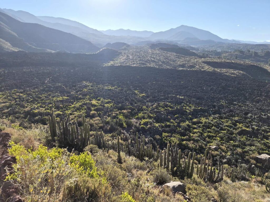
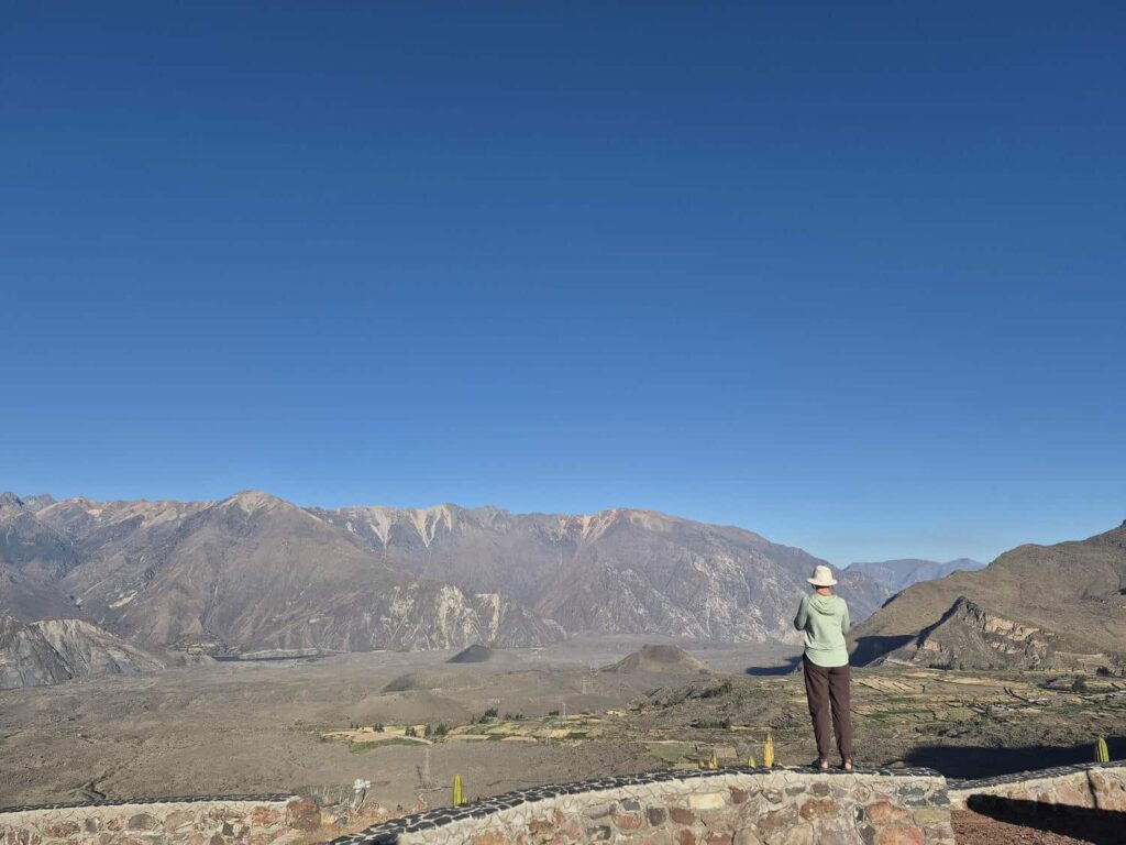
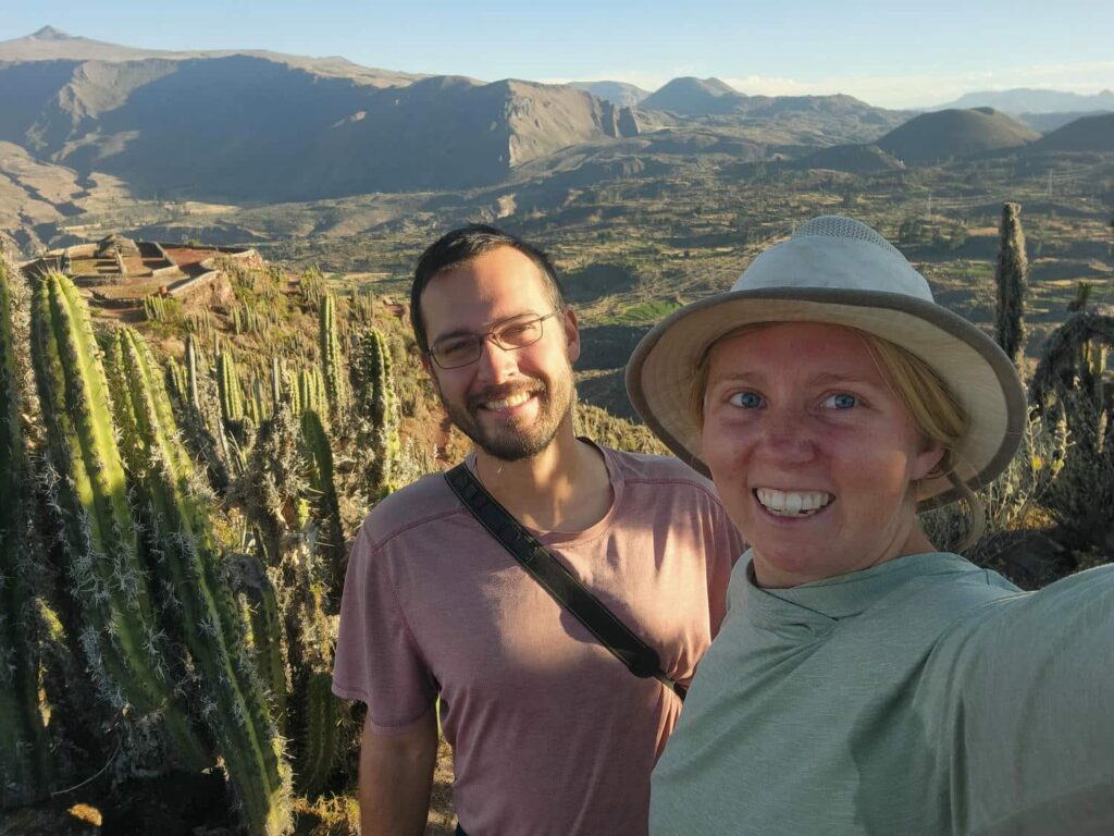
After saying goodbye the next morning, we continued down into Colca Canyon. We noticed tons of terraced hillsides- there must have been a huge number of people living here to build so many terraces and to sustain such a large area for farming. We also saw a lot more lava flows- the valley was covered with the same black and red lava flows. We continued down a few switchbacks to the bottom of the valley, a tight constricted canyon, and then headed back up the other side. The road was perched on the side of a valley, and the rock was all very loose- it seemed like the whole mountainside could come down at any time. Continuing on, we went up another valley, and saw a series of turquoise-blue waterfalls at the bottom- a stark contrast to the black, red, and tan colored rocks.
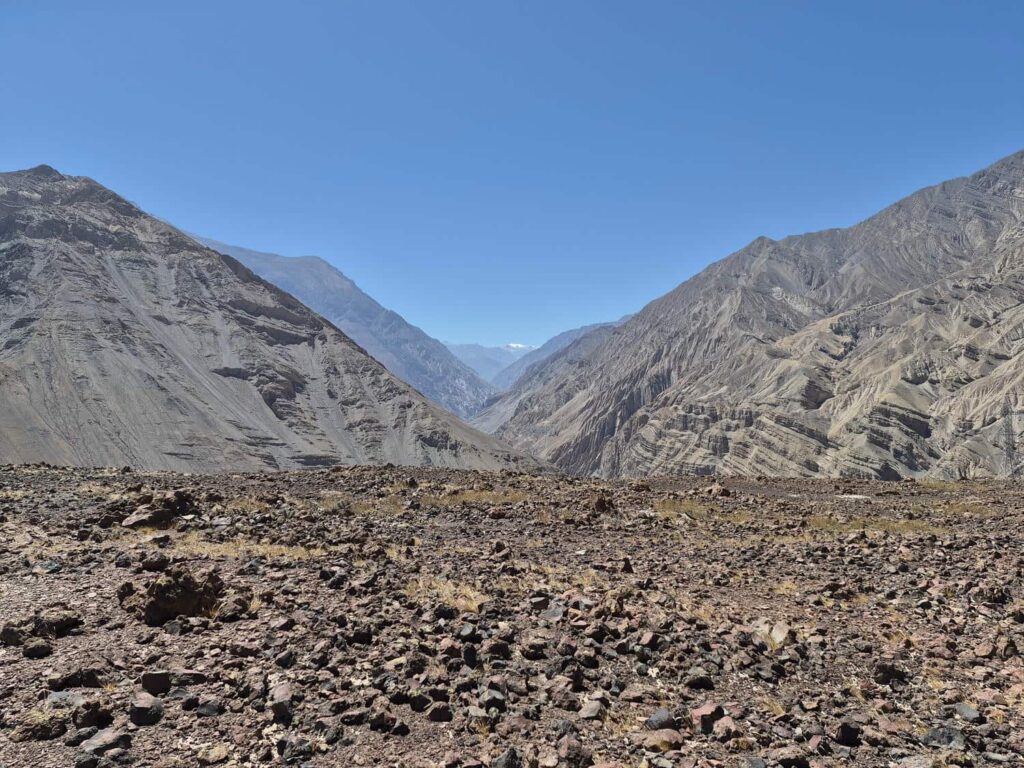
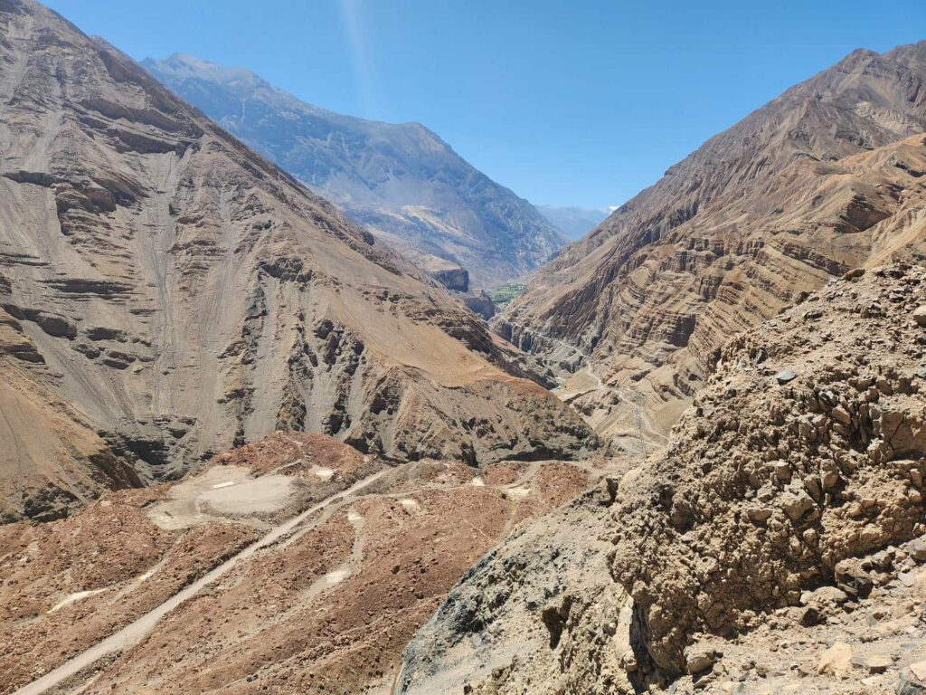
As we climbed up the south side of the canyon, we saw more and more greenery, and then more and more small villages, which had been totally absent from the bottom. We eventually made it out of the canyon at the little town of Huambo, and headed south on highway 109 towards the coast. There was tons of evidence of road construction, and we passed several crews working on culverts. Soon after, we unfortunately ran into more intensive roadworks- the road was closed for the next few hours. There really wasn’t an alternative, so we sat and waited for the road to open up. It was a nice break after some tight and narrow roads earlier that day! The road opened ahead of schedule, and we happily continued on. We passed uncountable terraces- it was like the entire valley we were descending through had been farmed at one point. We still don’t understand how- there is no water in this area of the Andes, and there hasn’t been for hundreds of years.
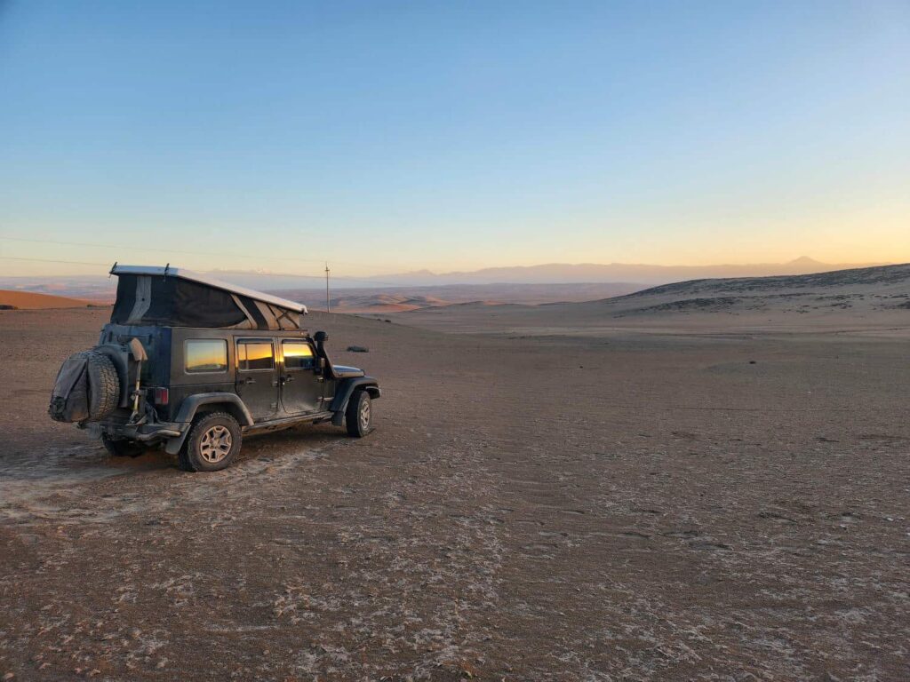
The valley soon ended in a wide alluvial fan, and we could see a gently sloping plain all the way down to the ocean. On our way down, we passed through the outskirts of Majes. It was one of the poorest-looking areas we’d seen, other than one town on the Caribbean coast of Colombia. It was so dusty and dirty, and the buildings were poorly constructed out of bricks and cinderblocks. I have found that the desert can make some places “look” rougher and poorer than they actually are, but this area just felt bad. Further into the center of Majes, we saw all sorts of agriculture activity- fields full of bright green plants, in stark contrast to the brown desert. I’m guessing that the outskirts of the town supplies the farm labor for the very nice looking farms, which included lots of grapes. How strange it is to see grapes being grown in the desert! On the other side of Majes, we were a bit worried about finding a place to camp, seeing as the area was very flat with absolutely no trees or even bushes to hide behind. We luckily found a nice sand dune to hide behind, which turned out to be an excellent spot- completely hidden not only from the sight of the road but also from the sound of the heavy truck traffic. We each had a better night’s sleep than we’d had in months- we were at around 3000ft above sea level, the lowest we’d been since we left the coast at the westernmost point in South America with Bri, Tevin, Kevin, and Shara almost two months earlier. In fact, we’d hardly been below 10,000ft since leaving Moira in northeastern Peru 6 weeks earlier- we briefly dipped down to around 9000ft in Caraz, and again down to 6000ft for an hour or so after descending from Ticlio Mosaico, but in both cases it was right back up to 14,000ft! Needless to say, our bodies were pretty happy about having plenty of oxygen.
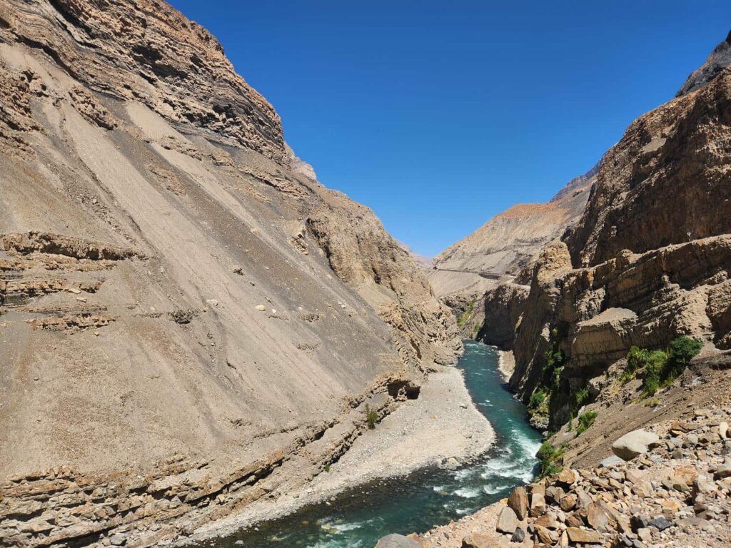
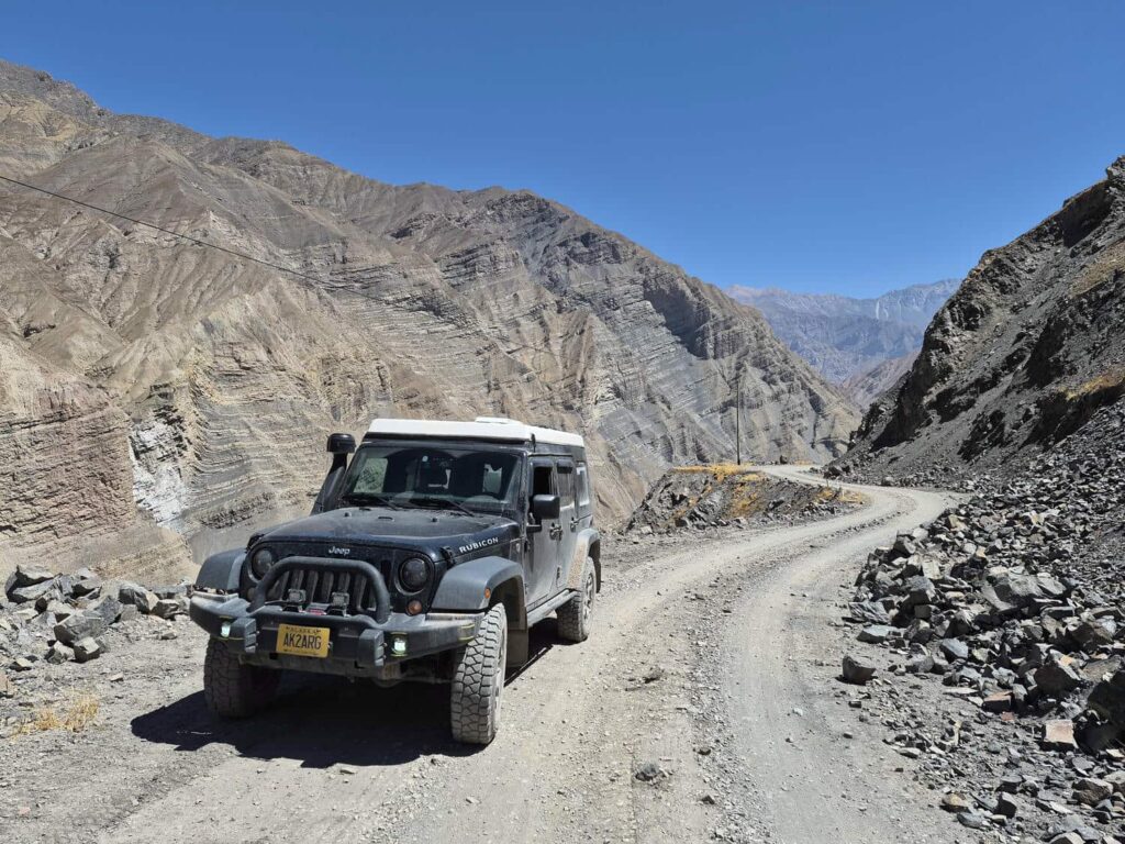
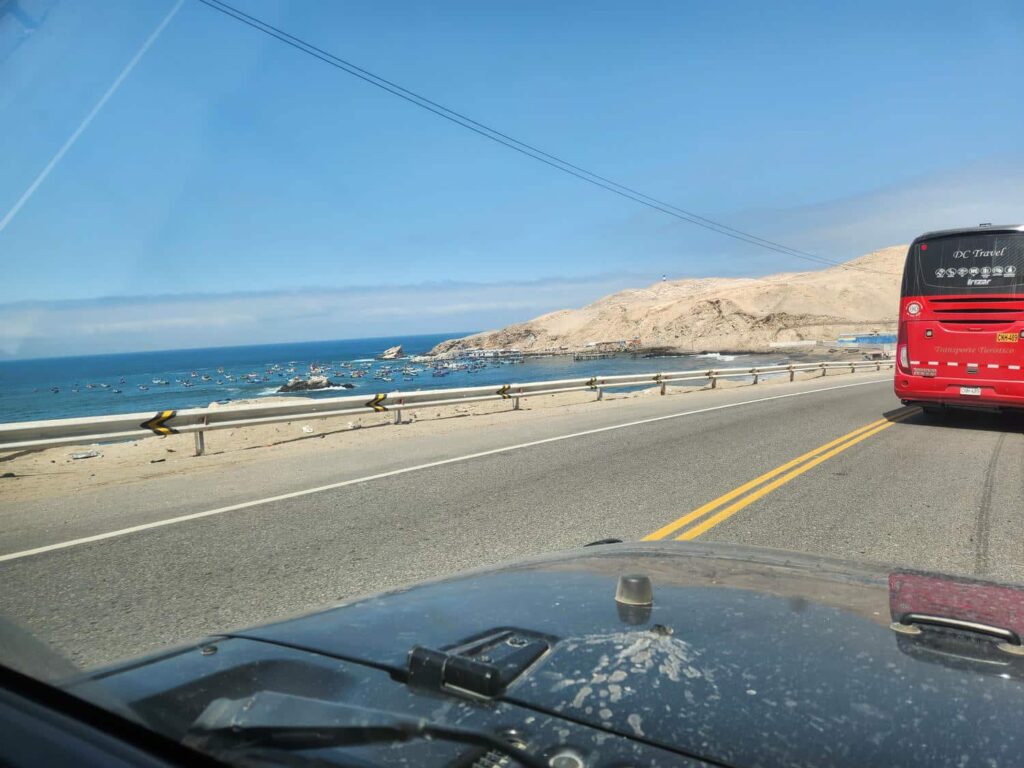
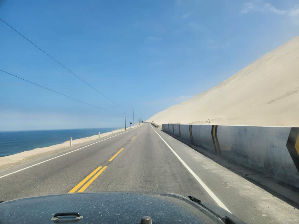
We rejoined the highway in the morning, prepared for a good long drive. We were going to try to make it all the way to Paracas, a desert area south of Lima. We now had only a few days before the pelagic tour, so we were trying to do as much as we could in the area, as we wanted to head straight for Cusco afterwards. The road north along the coast is the real “Pan-American Highway”, which we’ve actively avoided because 1) it’s on the coast which we find uninteresting and 2) it’s the main trucking route. Fortunately, it was in great shape, and we maintained nearly 60mph the whole day. We were a bit concerned about a section of it in the south, where there had been a large-scale landslide a week or two before, but by the time we got there absolutely no evidence remained of it. We passed truck after truck, listened to an audiobook, and managed to drive all the way from near Majes to Huacachina, a desert oasis and popular tourist destination. It took the whole day, but it was worth it! The drive was surprisingly beautiful- the mountains in this area of Peru come all the way down to the coast. We passed beautiful sand dunes that spilled straight into the ocean, craggy desert ridges, oases wherever a river came down from the high mountains, and endless views over the blue ocean. It was a cloudless day, and we had a blast doing what felt like an “American” road trip, on good roads.
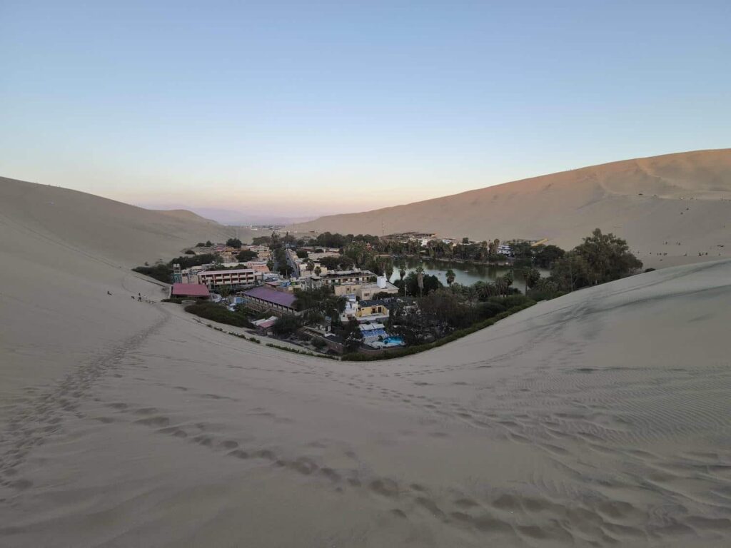
We arrived to Ica in the evening, and went through a small traffic jam before going on the short road to Huacachina. Huacachina is a resort town and oasis in the desert: a small lake surrounded by enormous sand dunes. The lake is now surrounded by hotels, restaurants, and tourism offices- all selling rides on various vehicles through the dunes. They have all sorts of ATVs and modified 4x4s to take tourists on thrill rides. There is a hostel in Huacachina that has parking for overland vehicles, so we headed there. Unfortunately, we were arriving just as all the tours were leaving- the narrow roads were choked with busses, vans, and taxis. It took us nearly half an hour to go forward a few hundred feet! When we arrived at the hostel, they didn’t want to let us stay at first- there were already a few overlander vehicles parked there. I had to negotiate with the workers there and tell them that we were leaving first thing in the morning, so we wouldn’t be blocking anyone in. Of course, once we talked with the other travelers there, they said “No problem, we aren’t going anywhere, stay as long as you like!”. We’ve found that being just a little pushy can help quite a bit- and also, that overlanders are always happy to help each other out. We got to know the others- a group of Germans in 3 vehicles that had met up on the road, and were now traveling together.
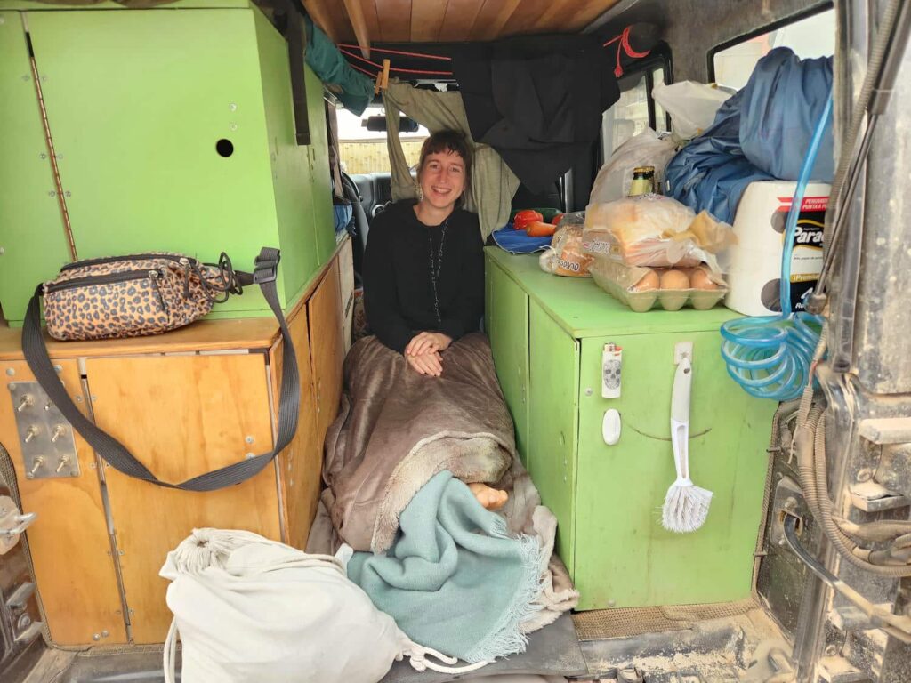
We’d been texting back and forth with Veronika since we’d parted ways, seeing if we would meet back up, and she said that after she’d gotten back to Huaraz she’d started traveling with a German guy. Imagine our surprise when she turned out to be at Huacachina as well- she was with one of the German guys we’d just met! Such a small world. She’d slept in a reclining chair outside the night before, and jumped at the chance to sleep in our “downstairs” again! We slept like rocks after our long drive day, and as promised, we left early the next day to explore Paracas National Park. The park is a peninsula that juts into the Pacific Ocean, and a desert famous for sand dunes and wildlife. You can see whales, seals, sea lions, and all sorts of birds, including penguins! The Humboldt Penguin is the furthest-north penguin, other than the Galapagos Penguin which is limited to the Galapagos Islands. We didn’t see any, but it was still neat to know that we were now in Penguin Territory.
We’d hoped to make a full loop through the park, entering at the southern entrance and leaving at the north, but when we got there the road through the center of the park was permanently closed. If we wanted to see the best parts, we’d have to backtrack and go all the way around, taking nearly 2 hours! We had nothing else to do that day, so we settled in for the drive.
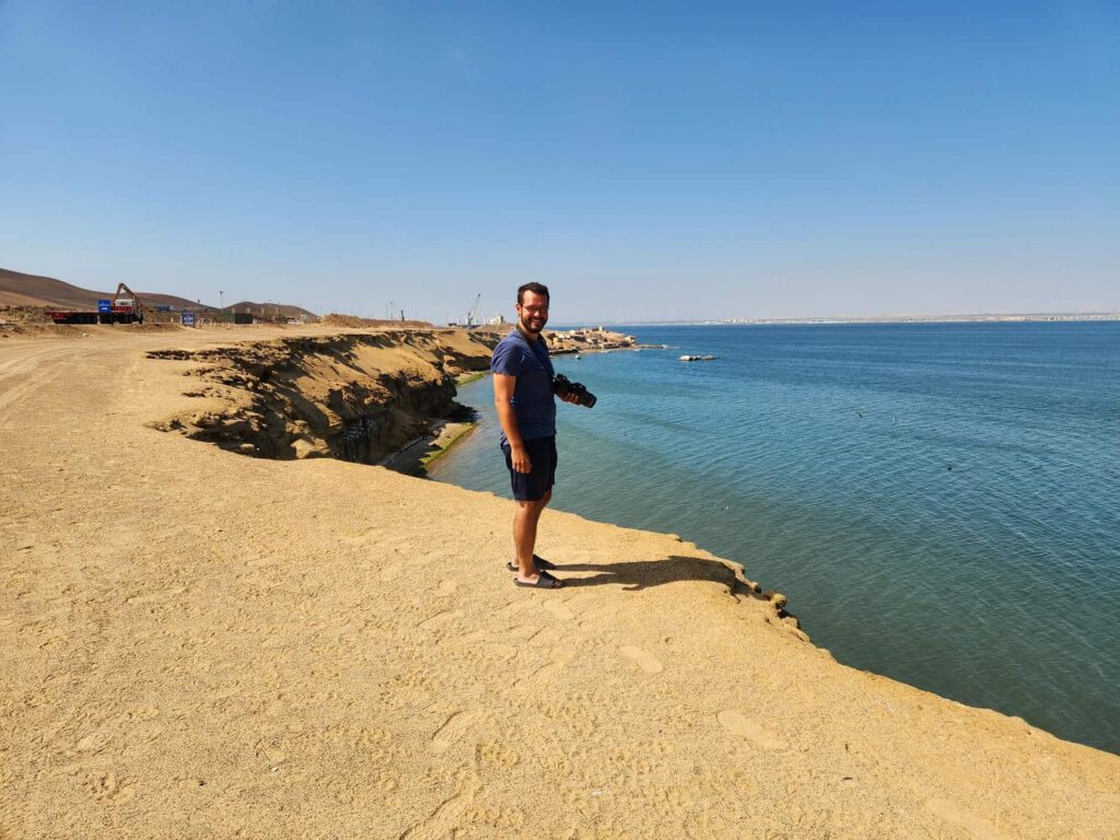
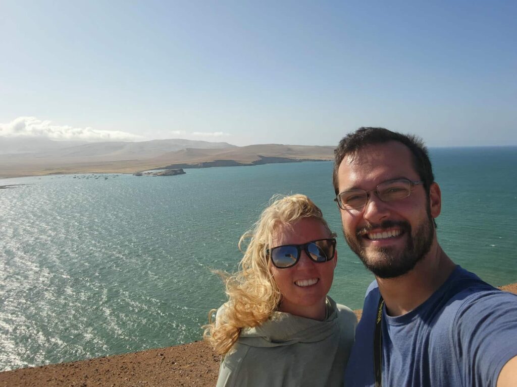
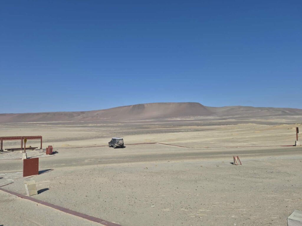
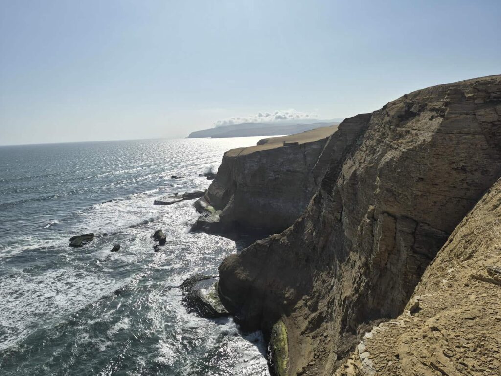
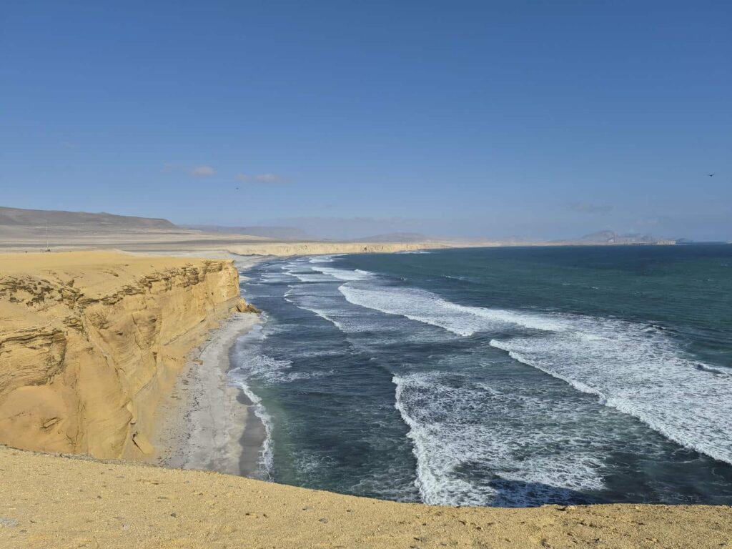
The park is a complete desert wasteland; there is basically no vegetation anywhere. It is all sand dunes and rocks, but the most interesting part is where the water meets the shore. In most places, it is at huge 100ft cliffs straight down into the ocean. We drove around to all the viewpoints, walked on one of the accessible beaches, and called it a day. It was an interesting park because it was such a different environment, but ultimately not that interesting after seeing the first viewpoint or two.
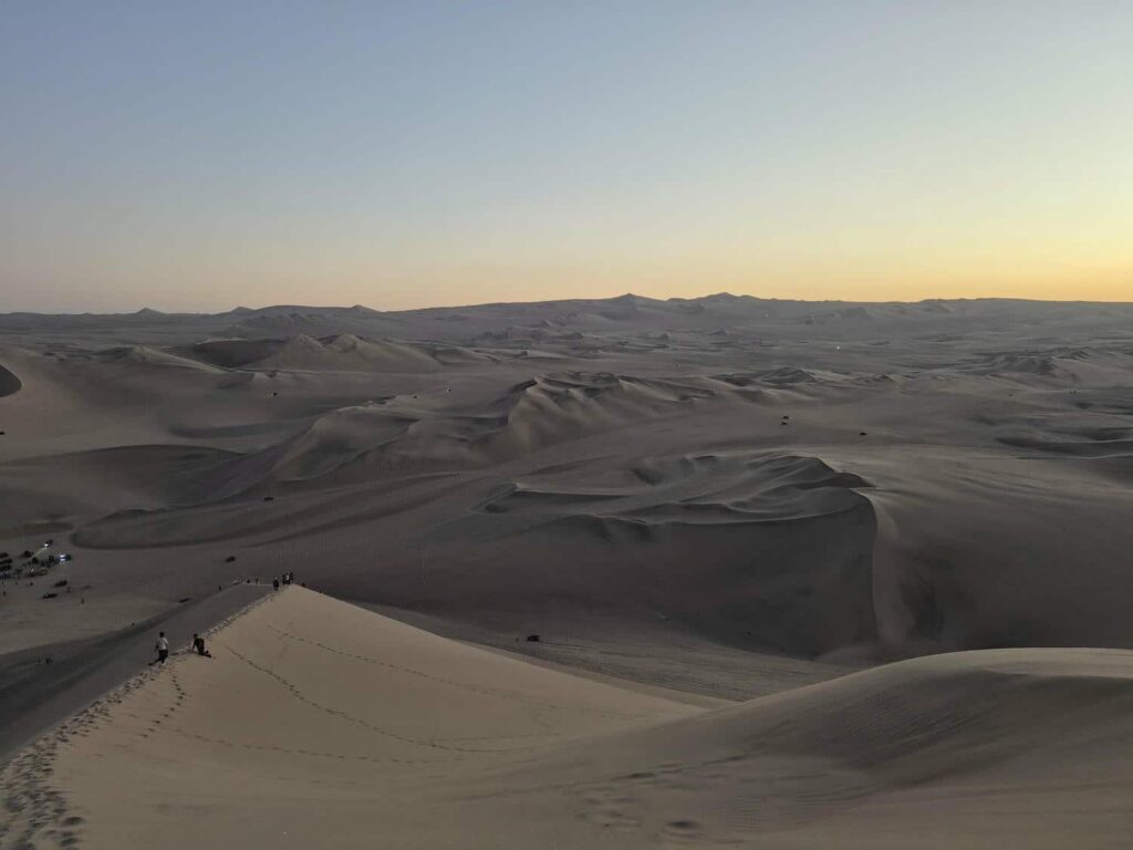
We stocked up with groceries on our way back through Ica and headed back to Huacachina for the night- thankfully a bit earlier, and not in the middle of a traffic jam like the previous night. We joined Veronika for a hike up the tallest dune at sunset, watching all the dune buggies speed around the endless dunes in the distance. It was a blast to run down the whole dune- it was nearly 500ft tall and very steep. In the morning, we headed south again- the pelagic trip that we’d completely rearranged our schedule for was the following day.
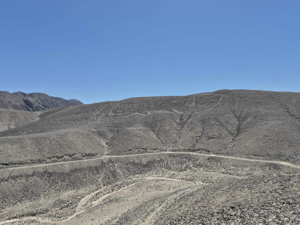
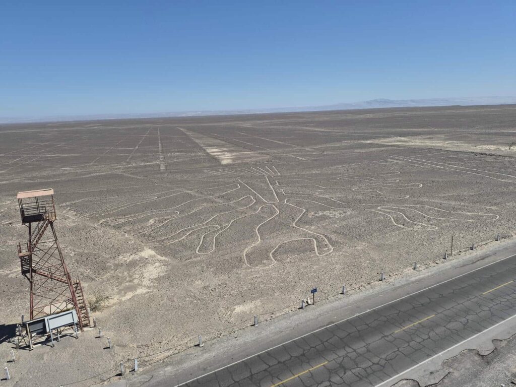
On our way south to San Juan de Marcona, where we would meet Gunnar at 6am the next morning, we stopped to see the famous Nazca Lines. These are massive geoglyphs, made by scraping away the top layer of soil, which form the shape of animals, people, and plants. They are quite large- many of them are well over 300ft long and wide. Even more remarkably, they are mostly in a completely flat area of desert, and archeologists still quite aren’t sure how they were constructed so precisely, without being able to see them from above. They form very complicated shapes, such as a hummingbird, tree, spider, monkey, and lizard. They are around 2000 years old, and have been almost perfectly preserved in the dry and windless desert. Some were constructed on hillsides, which can be seen a bit easier, but the largest ones are on flat ground and are impossible to notice. An observation tower of about 100ft tall has been built, so after seeing some of the smaller ones on the hillsides (a whale!), we drove to the observation tower, which was right on the main highway.
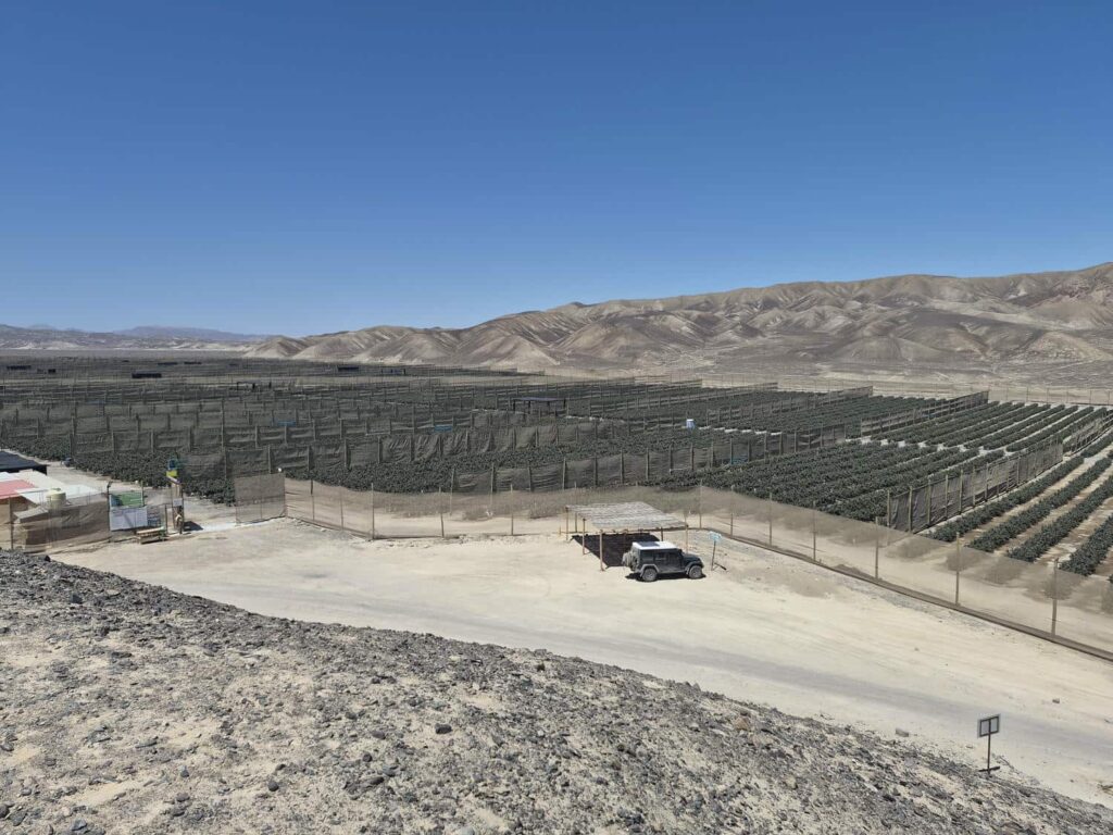
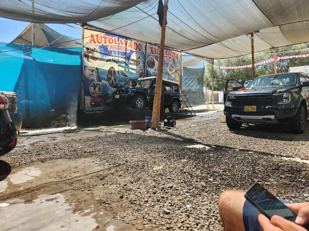
There was only one other car in the parking lot, and two workers- a security guard and a ticket officer. The security guard didn’t even look up from his phone as we walked to the ticket office, and the guy in the ticket office was fast asleep! Normally we are quite happy to pay entry fees, but we weren’t about to wake someone who was sleeping on the job- we walked right by and up the tower! The tower is only around 100ft tall, barely enough to see part of the lizard figure, but we could see some other lines stretching off into the distance. There are some quite popular flightseeing tour companies that will fly you around to see all the figures from a height where you can really appreciate them, but there had been a fatal crash a few months earlier killing all 13 people aboard, which spooked us a little. A bit more research showed that about one plane a year goes down- way too high of a rate for us! Seeing how the roads, bridges, and tunnels are maintained in the area does not inspire confidence that planes are any better kept. We spent about 15 minutes on top of the tower before heading back down past the sleeping ticket officer and the security guard on his phone. It was definitely worth the stop, even if we had paid, but I wouldn’t have gone out of my way to visit unless I was brave enough to take a flight tour! We headed through the town of Nazca, getting a much-needed carwash and lunch at a very nice restaurant (ceviche!) before turning off towards San Juan de Marcona.
The area was completely desolate and barren- the only living thing around was some bunches of grass! We drove through Marcona, which was a small fishing village before one of the largest iron ore deposits on earth was discovered nearby. It is now around 20,000 people, and seemed pretty rough and dirty as we drove through. There was a road along the coastal cliffs to the south of town, and we found a great camp spot at the top, with an amazing view of the ocean.
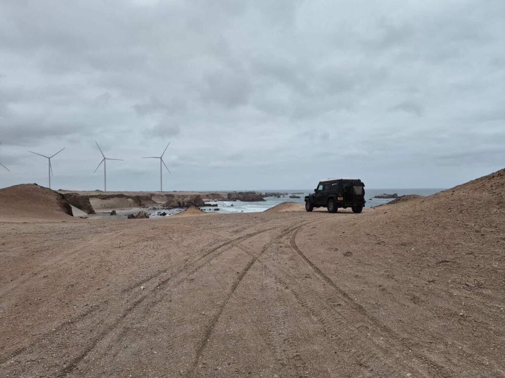
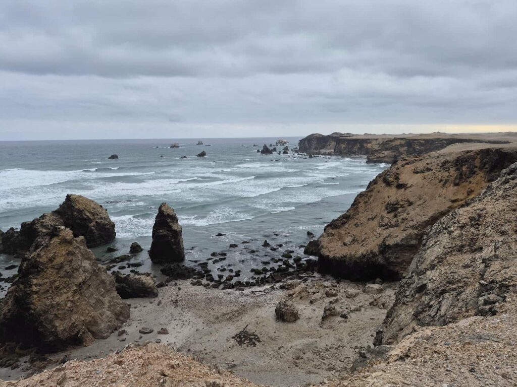
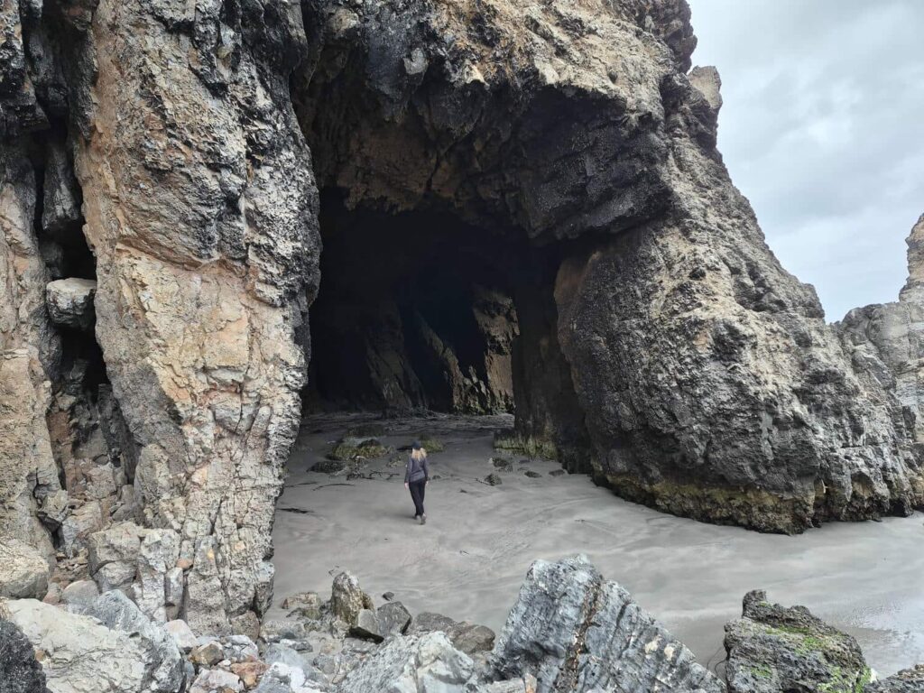
After getting settled, we walked a nearby road down to the bottom of the cliffs. We walked along the beach with the cliffs towering overhead. We were surprised with a very interesting cave through one of the small headlands- it ran nearly 50 feet straight through rock to the next beach further north. We then explored to the south, and found that each of the headlands dividing the beaches was a honeycomb of caves- huge passageways big enough to drive a truck through, or small enough that we had to turn sideways to squeeze through.
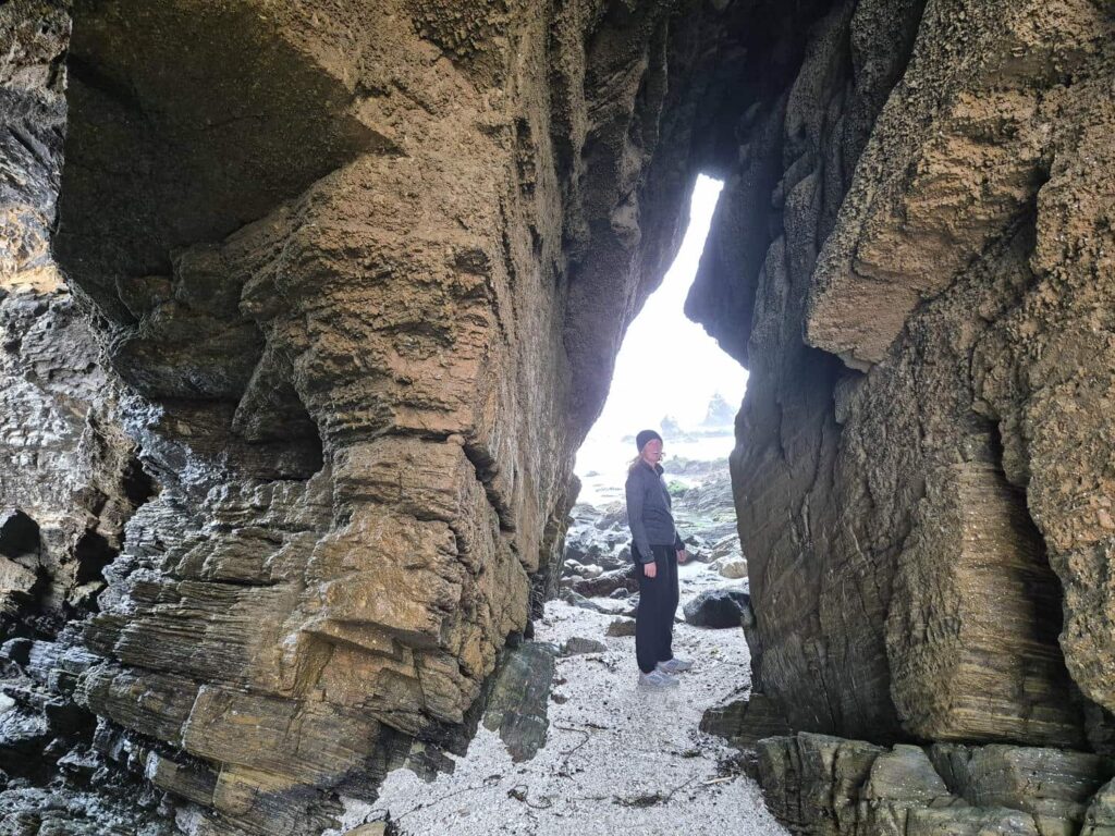
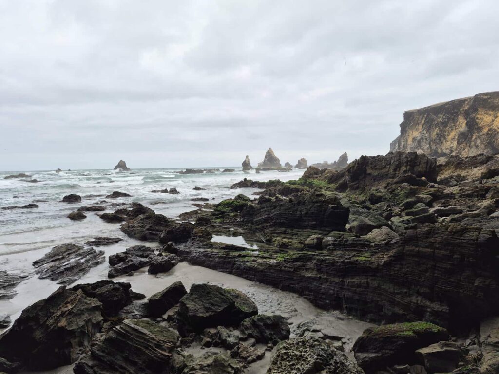

It was such a surprising discovery- we’d parked the jeep on a mostly hollow headland! After exploring for a while, we returned to the jeep, made dinner, and went to bed. There was quite a bit of wind off the ocean that night, which served well to cool us off- it’d been a hot day.

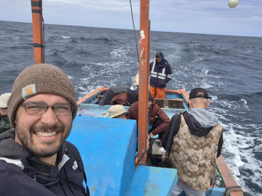
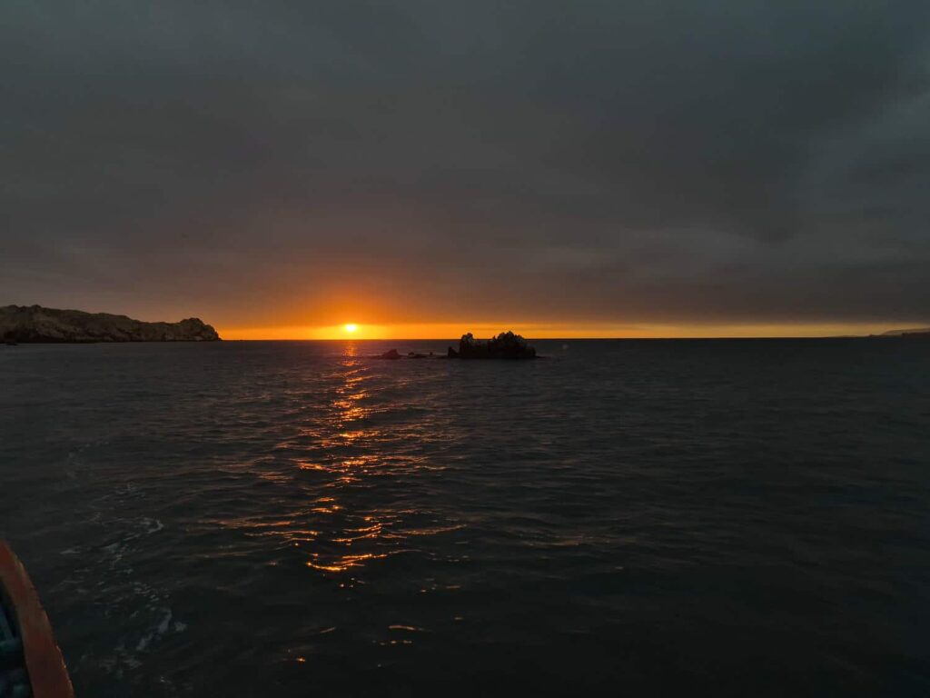
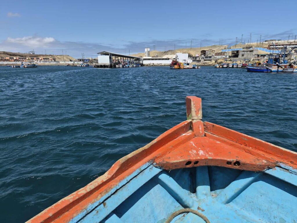
We woke up early, packed, and made breakfast before driving back through Marcona to the meeting place with Gunnar. He was a bit late due to traffic on the highway, as they’d come from Lima early that morning. We met the other birders- two friends from Australia, and one from Finland. They were really serious birders, and had flown across the planet to spend 3 weeks finding as many of Peru’s birds as they could. After breakfast at a small roadside restaurant, we made our way to the boat. I was a bit worried about leaving the jeep in what felt like a sketchy town, but Gunnar had come with a driver, who would stay with their car and would watch ours as well- phew! The boat was one of the many wooden fishing boats in the harbor. It really wasn’t very comfortable, but this area is so desolate that there aren’t any “dedicated” tour boats. The boat seemed sturdy enough, but didn’t have any seats- it was designed for a crew of 2 or 3 people, and to hold a lot of fish, and that’s all! We all ended up sitting on our life preservers. You get what you pay for I guess, and we weren’t complaining- it really felt like an adventure! We headed out from the harbor, the tiny 40-horse outboard barely propelling the barge-like fishing boat. We detoured along the coast, seeing lots of seals, sea lions, and shorebirds like cormorants, gulls, and pelicans. It was the season for sea lion pups, and we saw tons of the light-brown babies among the larger and darker adults. Heading further out to sea, we started seeing fewer of the shorebirds and more oceanic birds- first the skittish Peruvian Diving-Petrels, then hundreds of Sooty Shearwaters, then Elliot’s and Wilson’s Storm-Petrels. The Storm-Petrels were amazing to watch- Gunnar would pour some fish oil on the water, and the sparrow-sized birds would pitter-patter their feet on the surface of the ocean as they barely stayed flying, leaning their heads down to lap up the stinky oil. It wasn’t too long before one of the Australians yelled “Albatross!”, and we all turned to see a massive seabird turning as it glided low over the waves.

I’d wanted to do this pelagic tour mostly because of albatrosses- I’m fascinated by them. They spend nearly their entire lives at sea, only returning to land every 2-4 years to raise a single chick. They mate for life, but don’t stay together outside the breeding season- they meet at the exact same spot on the same isolated island to raise a chick, recognizing each other with elaborate courtship rituals. For the larger albatross species, the egg is incubated for about 3 months before hatching, and the chick does not “fledge” or grow flight feathers, for another 9 or 10 months, whereupon it leaves the nest alone. For these larger species, they only breed every 2-4 years, and even the smaller species, which have a shorter breeding cycle, rarely breed in consecutive years. As with the Andean Condor, they are some of the largest flying birds on the planet, with wingspans of over 11ft for the larger species. They are uniquely adapted to soaring, and can travel hundreds of miles without flapping their wings, soaring just over the surface of the waves.
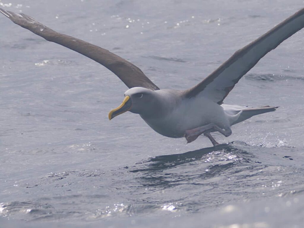

The albatross came right past the boat, probably curious, or looking for a meal. It circled several times, hardly flapping its wings, before disappearing into the distance as quickly as it had arrived. It was such an experience for me- Albatrosses are very seldom seen from land, and most of their breeding colonies are on incredibly isolated and remote islands, making them difficult to see- unless you are 5 miles offshore in the Humboldt Current, the most nutrient-rich waters on the planet. The current is an offshoot of a current that circles Antarctica, the only place on the planet that an ocean current can go all the way around the globe unblocked by any landmasses. The southern tip of South America “catches” this current, and it follows its way all the way up the coast to southern Peru. All the way along from central Chile to southern Peru, this deep and cold current upwells as it hits the continental shelf, bringing all sorts of nutrients to the surface, resulting in an explosion of fish, birds, and marine mammals. We did see some whales, but they were always quite far off. Gunnar thinks one of them was a Blue Whale, the largest animal on the planet, by the shape of it’s “blow”, the eruption of water and air that it produces when surfacing and exhaling. We also saw what Gunnar thought was a Humpback Whale breaching over and over again, crashing back into the ocean with an enormous splash, but it was also unfortunately far off.
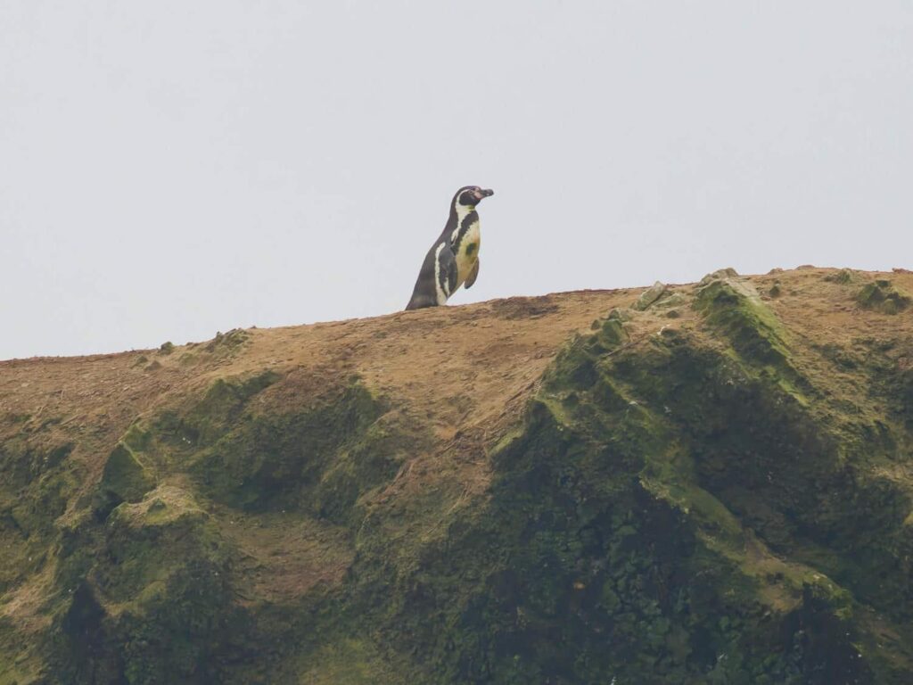
After spending most of the day offshore, seeing several more albatrosses, we headed back in. Gunnar & crew drove back to Nazca, where they had a hotel, and Delaney and I returned to our campsite south along the coast. In the morning, we were going to look for penguins! We met at the same place again at the same time, and headed back out in the boat. We followed the coast south a bit further, almost down to where we’d parked the jeep. We finally found what we’d been looking for- penguins! There were about 10 dirty-looking Humboldt Penguins clustered on the top of the cliff- how they got from the ocean 100ft up to the top of the cliff, I have no idea! We couldn’t get too close because of the breaking waves on the shore and the jagged-looking rocks that appeared from nowhere in the troughs of the waves, but it was so cool to see our first penguins in the wild! After ticking the box, we headed back out to sea to find more seabirds.

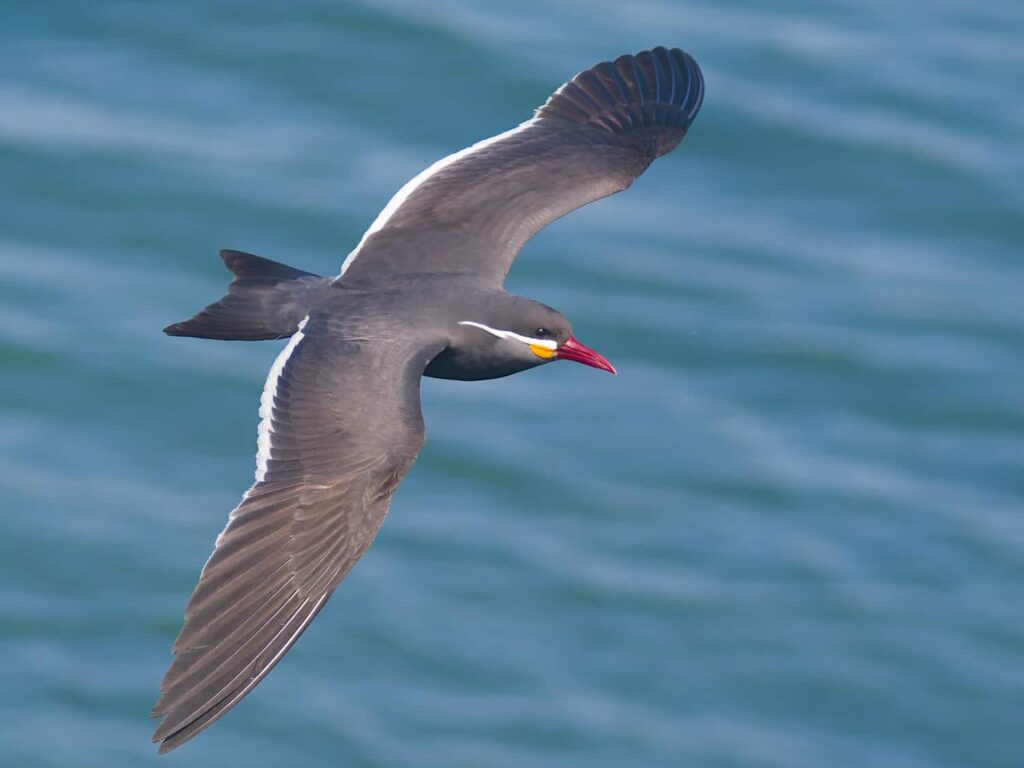
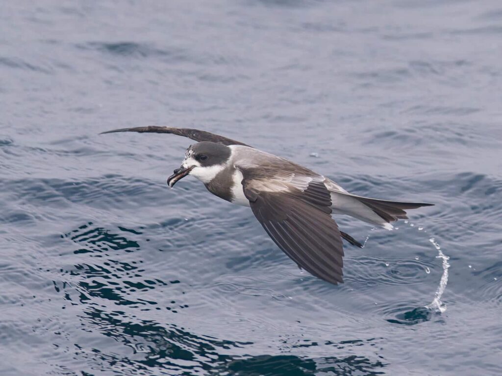
We saw more albatrosses, 3 different species in total, and I got great pictures of them. I’ll definitely frame one of them someday! We also saw several species that we hadn’t seen the first day, including a very rare Southern Fulmar- only the 9th recorded in Peruvian waters! We saw Sabine’s Gulls, which breed on the North Slope of Alaska, and migrate all the way down here during the northern winters. We also saw some Swallow-Tailed Gulls, which we’d seen far off the day before, but now we saw them quite close up. Unlike most gulls, they are highly pelagic, only coming to land at remote islands to breed, like albatrosses. Finally, we saw tons of Ringed Storm-Petrels, another interesting seabird species. Instead of breeding on remote islands, like most seabirds, the breeding grounds of this species were unknown until 2017, when it was discovered that they fly nearly 45 miles inland to the Atacama Desert, where they nest in burrows! The adults fly all the way back to the ocean every night to bring back food for the young. They are known for being quite rare and difficult to find, but we saw well over 100 of them, far more than Gunnar, or anyone that he knows, had ever seen at one time.
I think I’ve caught the bug for pelagic seabirding- I had so much fun! The open ocean is so unknown, and you never know what you are going to find out there. There is another place that does pelagic trips near Santiago, Chile, and I’ll certainly do a trip from there as well! Delaney doesn’t like being in a boat as much, but she loved seeing the whales and sea lions. After getting back to shore, we had another meal at the small roadside restaurant, where Gunnar invited us to join the group at their next location to find more birds, back in Nazca. We were going that way anyway, so we joined them for a bit longer. We found two birds endemic to the coastal Peru in a thicket off the road, which Gunnar seemed quite pleased with. We said our goodbyes and headed up the road to Cusco- the final area of our time in Peru.