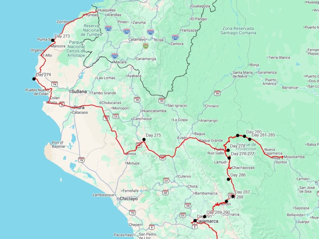
We entered Peru on July 5th, 2026. After our small debacle on the Ecuador side, the Peru side went easily- we were all stamped out of Ecuador and into Peru, and we got our TIP without much trouble. They didn’t search our vehicle or Bri & Tevin’s at all, and only made sure that the VIN numbers matched our paperwork. We’d bought insurance online the night before, so now we were free to explore Peru, the 13th country of our trip. The highway to the border on the Ecuador side was a nice two-lane highway, but the Peru side of the road was in much rougher shape. It was quite surprising to us- at the time that we crossed, all land borders between Peru and Ecuador were closed and had been for nearly 2 years, except this one. There really wasn’t a lot of traffic going back and forth, only 5 or 10 trucks in an hour headed north. We couldn’t believe how little of an economic connection there appeared to be between the two countries.
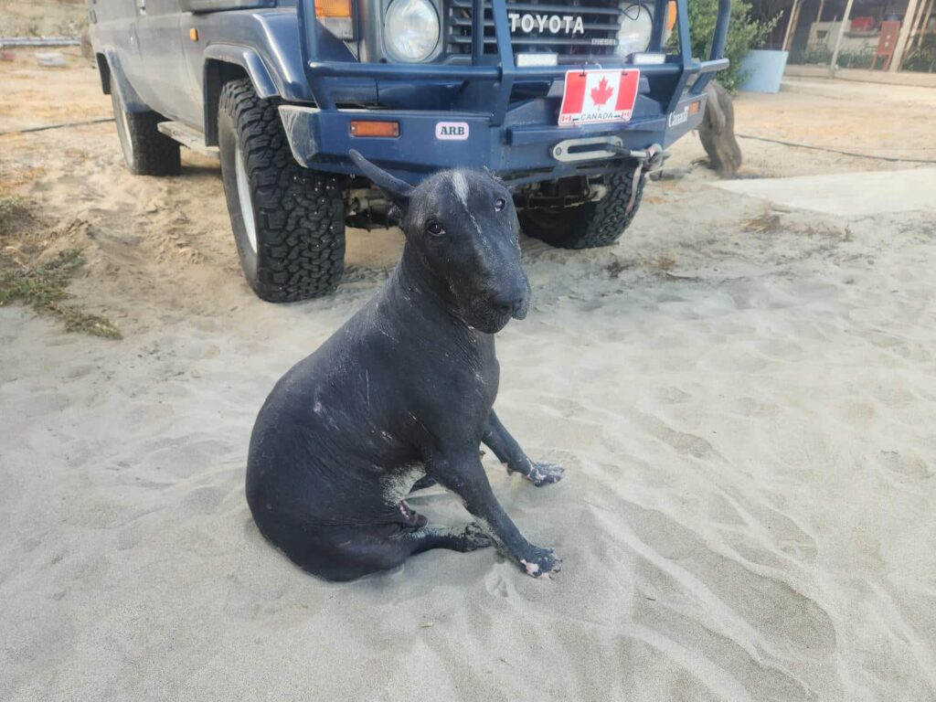
We stopped at a small cafe in Tumbes before continuing on to a paid beach campsite. None of us really wanted to camp on the beach, but there really weren’t a lot of options in the area for wild camping, and this place at least had a shower! Accessing it was fun- we had to drive about a quarter mile down the beach, where the sand was quite soft. We sure used some of the jeep’s horsepower to get us through the sand to the site! It was a reasonably nice place with a few outdoor couches, an outdoor kitchen, and almost no other people. There was an interesting guest at the place- a Peruvian Hairless Dog, a giant black dog indigenous to Peru with no hair at all. It looked a bit gross, but he was an absolute sweetheart and loved to snuggle on the couch. Delaney and I walked down the beach a mile or so, and enjoyed some complete solitude- there were no other people or houses south of us for a long ways. We watched the pelicans, boobys, and cormorants dive for fish in the surf for hours.
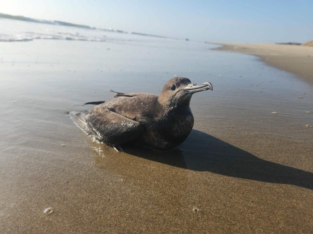
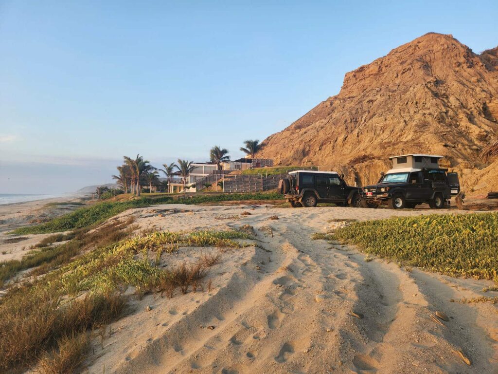
We all enjoyed a slow morning before speeding off back up the beach through the sand. The tide was much higher this time, which covered the firmer sand- we struggled a bit more, but managed to make it back to the road without getting stuck. Bri and Tevin had some work stuff to do, so they headed off to the town of Mancora, while Delaney and I stayed back a bit to look for birds. This north-western coastal region of Peru is called the Tumbes region, and has quite a few endemic birds, as well as other animals. We found a few of them, but we really started too late- it got hot really quickly compared to the mountains where we had been previously, so most of the animals had hunkered down by the time we started looking.
We had a spot in mind to meet back up with Bri and Tevin that evening, so we got back on the highway and headed south. We saw some pumpjacks along the way- this area of Peru is known for its oil production. We passed through the town of Talara, a refinery town, and continued further down the coast to Punta Balcones, a beach and rocky headland known for being the furthest west point of South America. We’d passed up on seeing the northernmost point of South America in Colombia, as it is known for frequent aggressive roadblocks by the local people looking for handouts, but we were glad to get to this point instead. An interesting bit of trivia- even though we were at the westernmost point of the continent, we were still further east than Atlanta, Georgia. South America is surprisingly far east compared to North America!
Before Bri and Tevin arrived, a white 70 series landcruiser pulled up. It was Kevin and Chara, who we’d met in Guatemala! We’d made sure that they met Bri and Tevin, fellow 70 series afficionados, and they had become quick friends. Kevin and Chara travel a bit differently than most people we’ve met- they fly home frequently, and then when they are in South America, they cover an incredible amount of territory by driving 10+ hours a day. We find that we are kind of average when it comes to travel speed. Tim, who we’d met while shipping from Panama to Colombia, is on the slow end, as he always stays as long as he can in a country, and Kevin and Chara are definitely the speediest. Bri and Tevin soon arrived, and we all walked down the beach together to the point. There was a rock a bit out in the surf that I wanted to get to, just to be as far out on the point as I could. I misjudged the depth of the water between two rocks and got quite soaked! Tevin climbed up the point for a better view, and found a sandy gully with a bunch of volleyball-sized rocks that were nearly perfectly round. We had a great time rolling them down the gulley and seeing how far we could get them to go.
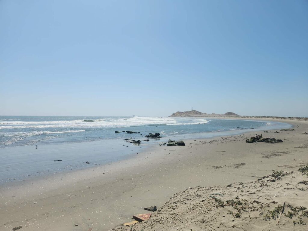
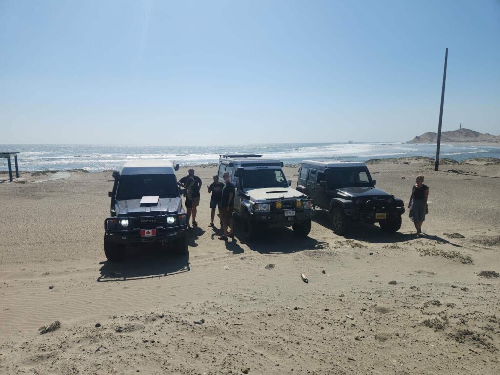
When we got back to the vehicles, there was a man on a moped with a surfboard waiting for us. He had aired down his tires to get through a sandy shortcut to the beach, but had debeaded the rear tire and was stranded! He was a former overlander and figured that between the three well-equipped SUVs, one of us would have an air compressor to get him fixed up. We had the tire back on the rim and fully inflated in no time, and he was on his way. Kevin and Chara “hosted” dinner and we made a big pile of spaghetti, all pitching in ingredients. We all watched the USA soccer team get trounced by Belgium while we ate, before watching the stars a bit before bed. We were really out in the middle of nowhere and the stars were incredible- a theme that would continue throughout Peru. There are much fewer people here than in anywhere we’d been previously, and the lack of light pollution was incredible.
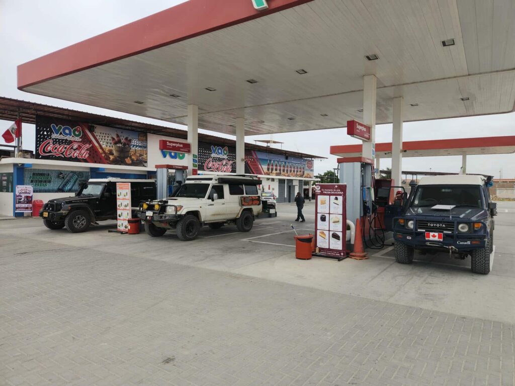
We all convoyed out in the morning, planning on a long drive day together. There really wasn’t much of interest in this area- just deserts and incredible heat. Away from the beach a few miles inland, the temperature was supposed to be close to 100F, much too hot for us, and we really dreaded sleeping in it. We wanted to get to the mountains as quickly as possible! We passed through some charming tiny desert villages, and were shocked at how small this “main” road was- too small for even the ubiquitous “camiones”, or box trucks. We all filled up with gas near Colan, and were a bit shocked with how expensive fuel was- about $5.80 a gallon, compared to $3.25 a gallon in Ecuador. At least everything else is quite cheap in Peru, but fuel is quite pricey. Piura was the first main town we drove through in Peru, and it was pretty dusty and dirty. Northwestern Peru is known to be pretty dirty, with people just dumping their trash on the side of the highway, and Piura was no different. We’ve gotten pretty used to ignoring most standard traffic laws, as is the norm in Latin America, but it went up another notch here- wherever there was open space, people would take it. The main road through town is a two-lane paved road, but there were at least 2 lanes of cars pushing through in each direction!
We were all pretty glad to get through Piura, and we could now make some tracks through the desert towards the mountains. We sped through the sparsely populated scrubby desert on our way to Olmos, where we would turn up into the mountains. There was quite a bit of construction on the narrow mountain road up to Porcuya Pass, but at least it was paved. There were no passing lanes to speak of, and on this heavily trafficked truck route, the best place to pass the heavily laden trucks was right after everyone had stopped for construction- insane to think of doing in the U.S., but quite commonplace here! The west side of the mountains had been fairly green, but when we crossed to the other side of the pass the desert returned. We descended down a narrowing canyon, the towering rock walls above us growing with every mile. Just about when we finally reached the braided river at the bottom, we turned up a small dirt road towards a promising campsite. The dirt road passed through a dusty village, before climbing high up the canyon walls on a narrow shelf road. The campsite we’d scoped out was on an alluvial fan that had been rearranged a bit since the satellite photos had been taken, but we each were able to find a nice flat space to park. It was a really neat spot- at the bottom of a canyon well hidden from the road, close to a paradoxical desert river, and with incredible scenery. We’d spoken to Kevin and Chara a bit in Guatemala and again the previous night, but we enjoyed another few hours of conversation while we got to know them a bit better. They had raised 7 children in Utah and been quite successful in business, and were now exploring the world- first in a landcrusier, and perhaps later on in a sailboat.
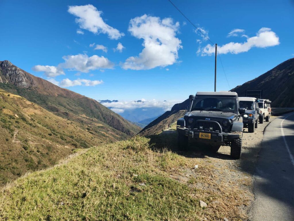
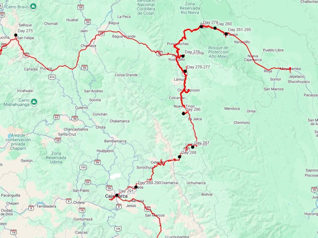
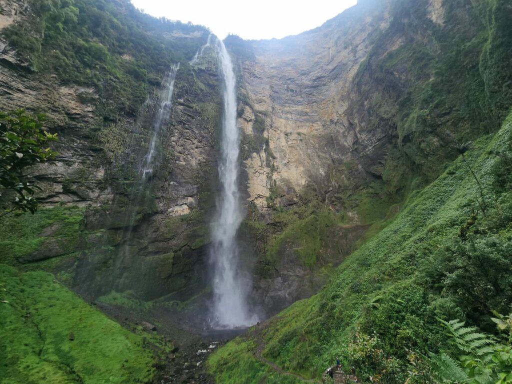
The next morning, we convoyed together for a bit, before we stayed behind near the town of Jaen while they went on ahead. We were in the Maranon drainage, another endemic bird area with around 20 species only occurring in this dry valley. As with the Tumbes region, we started much too late in the day. It was quite hot and dry, and I was glad to be back in the air-conditioned jeep after a fruitless hour of walking up and down the scorchingly hot road. We drove further east, and the green slowly crept back into the vegetation. Before we knew it, we were back in the cloud forest. We were headed to Gocta Falls, which is between the 3rd and 18th tallest waterfall in the world, depending who you ask. There are two separate free-falling cascades, which are a staggering total of 2549ft! It has some interesting history- though it was well known to the locals and in plain view of a small village, it was not known to the wider world until 2006, when a German tourist was shown them by some locals he had befriended. When the “discovery” was publicized, the small village was basically reconstructed into a tourist town focused around the falls. Bri and Tevin found a hotel in town, while Delaney and I camped in an open field a few miles out of town. We had an awesome view of the falls, and enjoyed a relaxing evening after two long drive days.
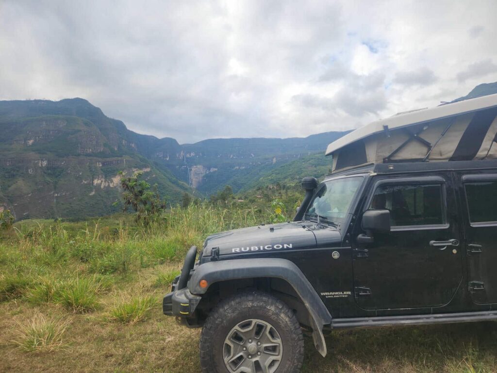
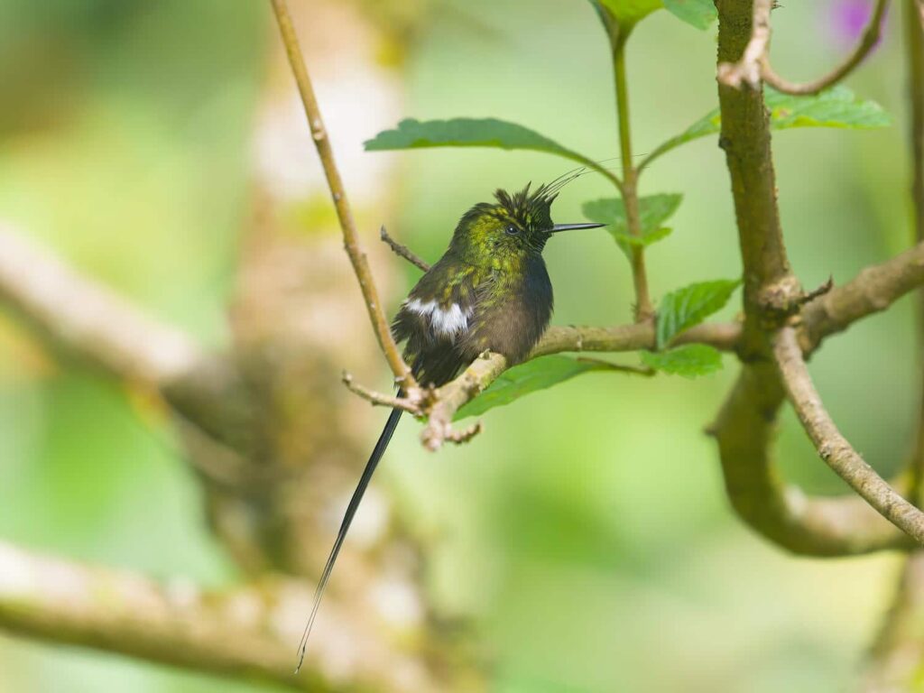
The hike to the base of the falls is a bit strenuous, and we were feeling a bit lazy, so instead of doing the hike the next morning we took the day to relax. We did a few loads of laundry with water from a nearby stream, and worked on the ever-present task of documenting the trip- me with my bird photos and this blog, and Delaney with her paper journal and Instagram page. It seems we are never caught up, but we know how thankful we will be in 20 years when we are straining to recollect what, when, where, who, and how. That evening, we drove up the road a short distance and I went into a small bird reserve to look for the Marvelous Spatuletail, a spectacular hummingbird with two long tail feathers ending in rackets. It took over an hour, but it finally showed up, after it had nearly gotten dark. I got a few pictures, but they weren’t great- this hummingbird had shed its two long tail feathers, so it looked rather unremarkable. Fortunately, we would find more of them a few days later! After I came back from looking for the Spatuletail, we met Bri and Tevin in town for dinner. It seemed like the only place that was open, but the food was delicious. We had chauffa, a common Peruvian dish, which is basically fried rice. Apparently Peruvian cuisine takes a lot of inspiration from Asian cuisine- that is good news for us, as we love Asian food! After dinner, we said goodbye to Bri and Tevin. They were headed for Lima, and we probably won’t see them for quite some time, though we will almost certainly see them in Patagonia at the very least. It had been wonderful traveling with them, as well as with Dan & Patricia- but now, for the first time since northern Colombia, we weren’t traveling with anyone else and had no plans to meet up with anyone. It is hard to believe we hadn’t gone more than a week or so without seeing either one of them!
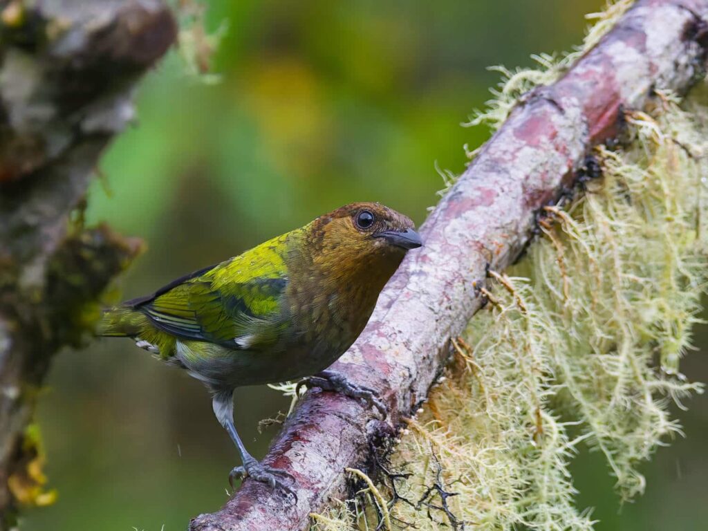
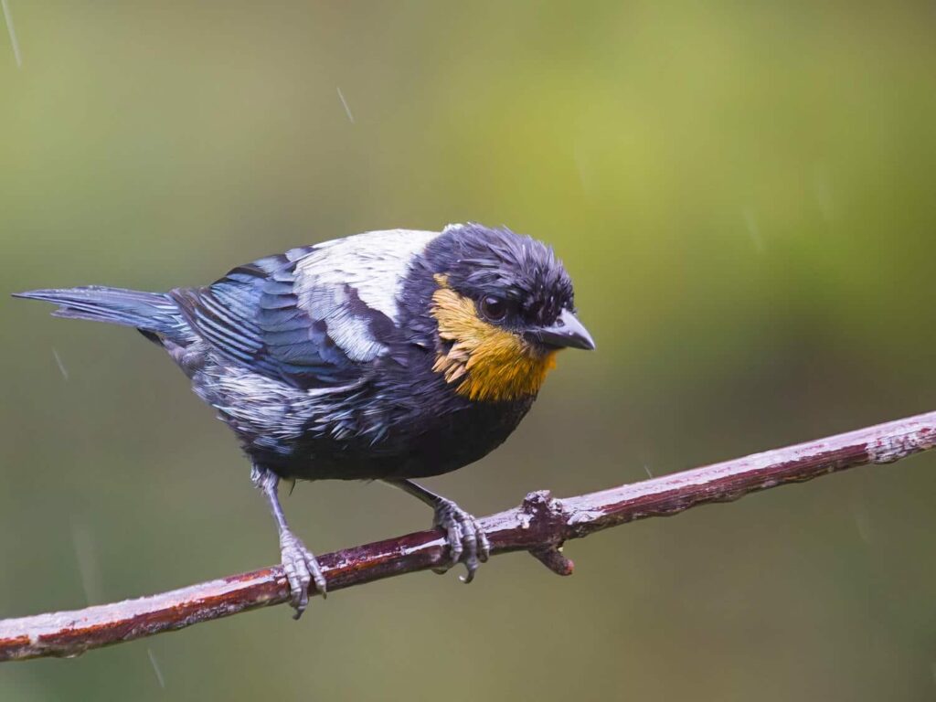
The next morning, we drove back into town and bought tickets to hike to the falls, and were directed to a nice parking spot a block off the main square. The hike to the falls was spectacular, and the trail was quite good. It is a huge tourist destination, and there were lots of other hikers. The trail does generally go downhill to the base of the falls from the trailhead, so some enterprising locals have made it so that you can be carried back up the hill by a horse, if you so wish! The falls grew and grew as we got closer, until we stood at the very base of them, craning our necks to see the top. We got as close to the pool at the bottom of the crashing water as we could, and got soaked by the spray. From a viewpoint further back, we tried to time how long it took for the water to fall from the top to the bottom, and got something around 30 seconds! The water was in freefall for so long that it was little more than spray by the time it hit the bottom. The waterfall was spectacular, but we still think that Tisquizoque in Colombia was more awe-inspiring.
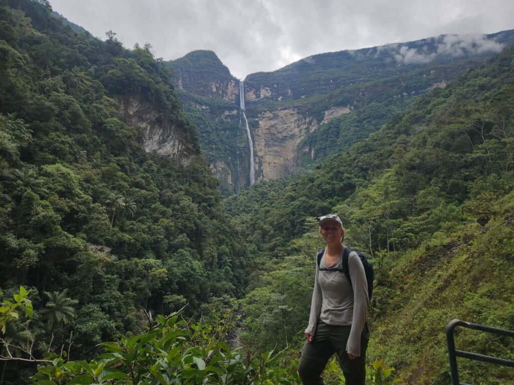
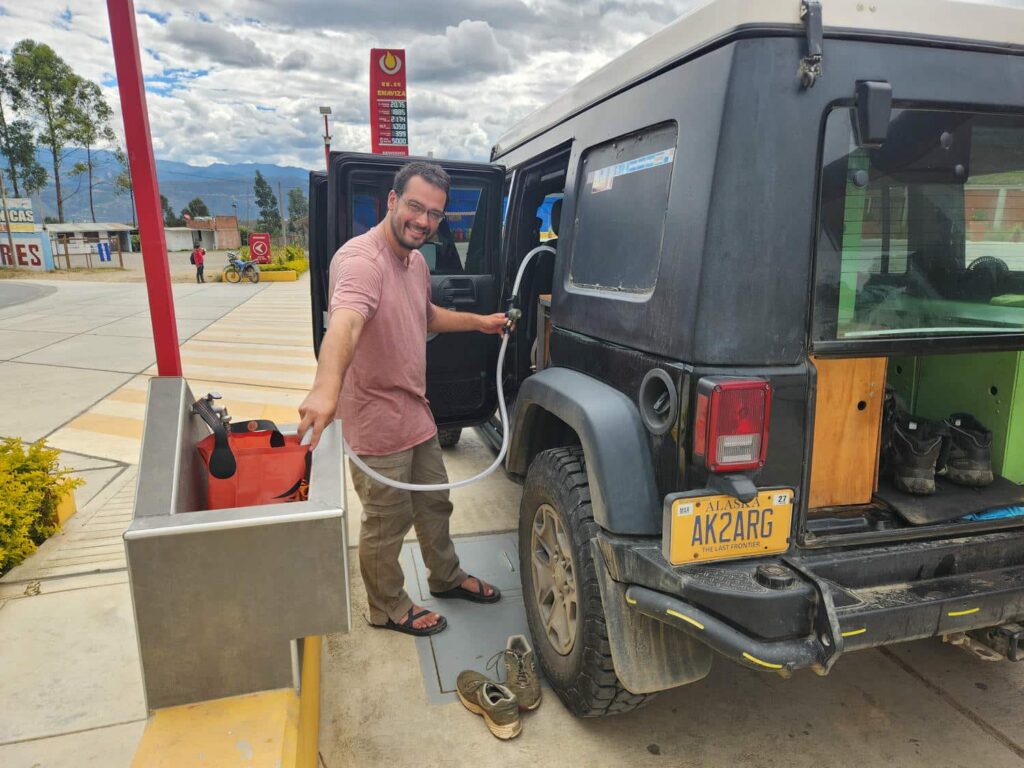
It was a long hike back up to town, but we made quick work of it. Back in the jeep, we drove south to the town of Chachapoyas to get gas and to look for some groceries. We found a beautiful gas station just before getting to town, but we were wholly unable to find a decent grocery store. It was a decent sized town, but the best we could find was a tiny hole-in-the-wall spot with wilted vegetables and very little else. We picked up some eggs and the best veggies we could find, but it was pretty disappointing for such a large town. We then headed south from Chachapoyas, intending to visit the archeological site of Kuelap. We were due to meet my brother’s sister-in-law, Moira, who had married Jose, a Peruvian, in a few days. They had just finished hosting Moira’s parents, so we were kind of “killing time”, visiting some of the other sites in the area, before we retraced our steps north a bit to go visit them. The road we were driving on south decayed rapidly- there were massive potholes in the pavement, which is the worst kind of road. It is better to never pave at all if the road isn’t going to be maintained! After half an hour of punishment, we pulled over to discuss our options- if we continued south, we would have to drive this road three times, as it was our intended route after visiting Moira. We really didn’t want to do that!
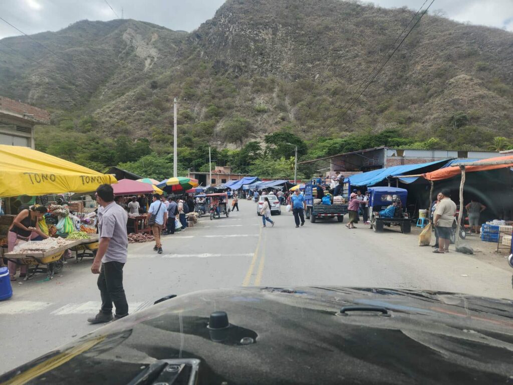
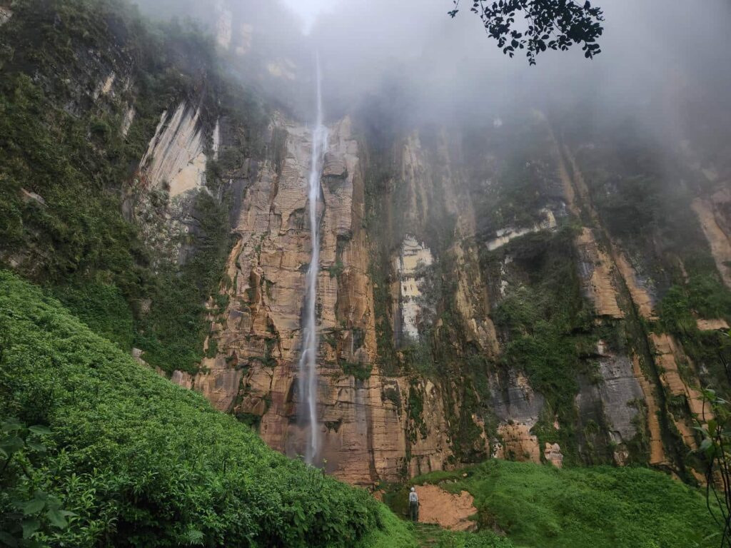
As we were sitting on the side of the road, a massive expedition vehicle approached from the other side. They pulled over and out hopped Eric, another overlander. He and his wife Liv and their two kids were headed north, and told us that the road got much worse further south. We exchanged some information on good places to park and camp for their giant vehicle, as well as contact information. Eric was similarly interested in hummingbirds, so we connected quickly and I sent him a bunch of good spots further north. Convinced in our plans to turn around, we drive back north past Chachapoyas and Gocta Falls, intending to camp at the trailhead of another massive waterfall, Yumbilla Falls. Similar to Gocta, the height of the falls is up for debate- anywhere from the 5th tallest to the 19th tallest, depending on what you read. We did have to wait a bit to drive the road up to the trailhead- they were completely redoing it, and it was only open for an hour at noon and between 6pm-6am. We patiently waited until 6pm when we drove up the road in a flood of tuk-tuks and small busses- turns out they had all been waiting as well! The road works were quite impressive, as they were turning the tiny back road into a full-sized paved road, probably in anticipation of Yumbilla Falls becoming a similarly large tourist attraction as Gocta.
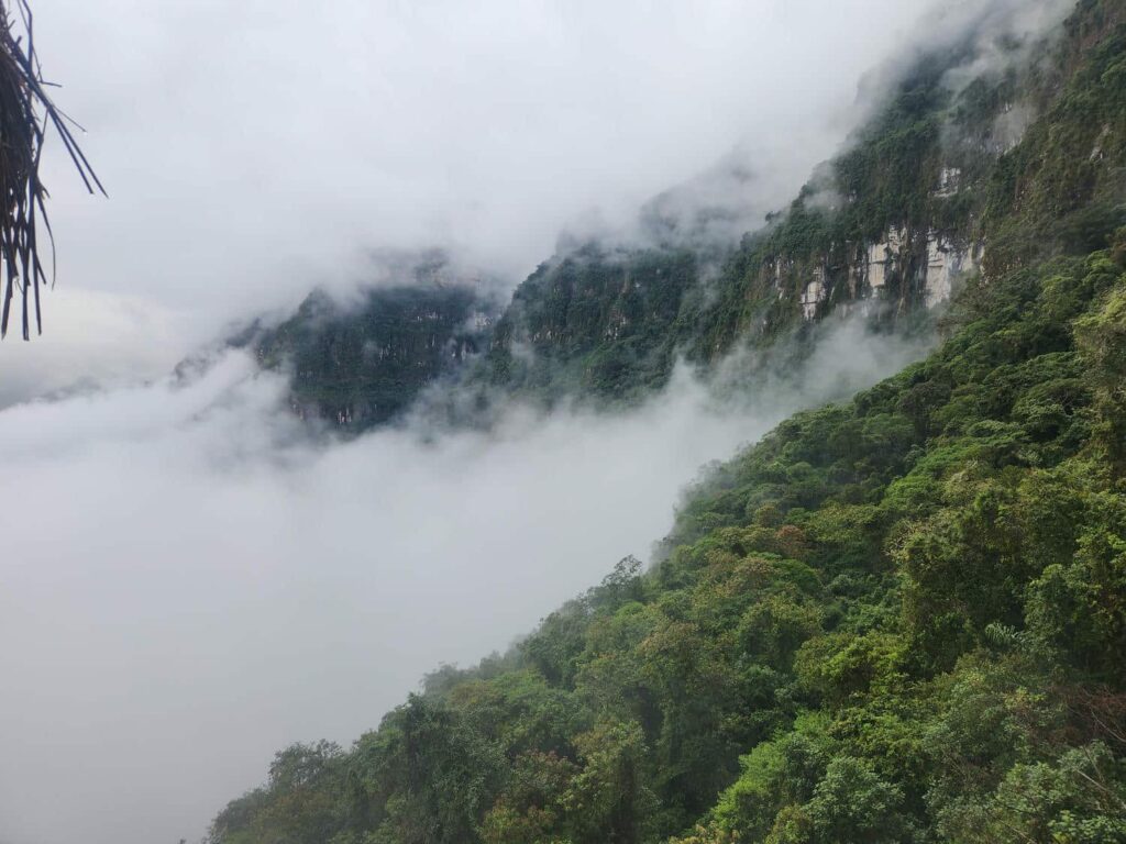

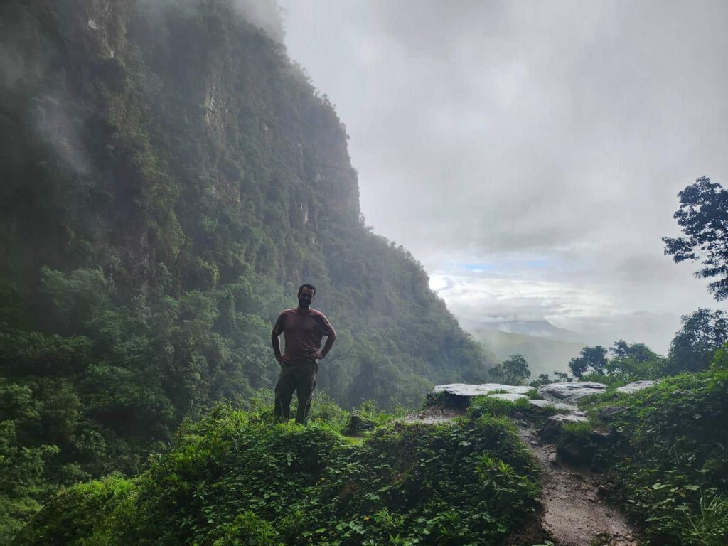
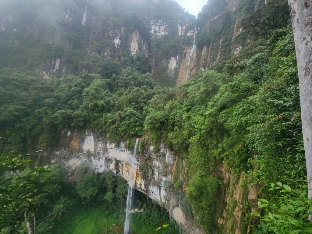
We had planned on picking up a permit to hike the trail to Yumbilla, but with all the road construction and now that it was dark out, we couldn’t find the office, so we just went up to the trailhead and camped. In the morning, Delaney was able to text with the town’s tourism office, who were OK with us hiking the trail and then paying on the way back down through town. The hike out to Yumbilla Falls was much better than Gocta- no other people, no horses, just a beautiful and rustic hiking trail through the cloud forest with incredible views. The falls weren’t quite as impressive as Gocta, but we enjoyed the hike much more. There were a few other small waterfalls along the trail, including one where the trail went behind the waterfall. We paid our fee back on the way through town, and headed north.
I’d arranged to visit another place where the Marvelous Spatuletail could be found. There really are only three places- the one near Gocta, the very expensive Huembo lodge, and this one, Puerto Canoas. It is a completely iconic animal for the area- every town has a giant mural of the spatuletail in their main square. On our way through the town of Pomacochas, we passed Eric and Liv’s unmistakable vehicle. I quickly texted them and asked if they’d like to join us, and they did! There isn’t a road to this reserve, but the owner met us at a restaurant parking lot along the highway and hiked in with us. He was incredibly friendly, and seemed to know every bird in the area. He would hear a bird song, say it was an Andean Flicker and that they had two adults and a baby here, and then hear another song, say that it was a Golden Grosbeak and that there’s only this one male here, and so on.
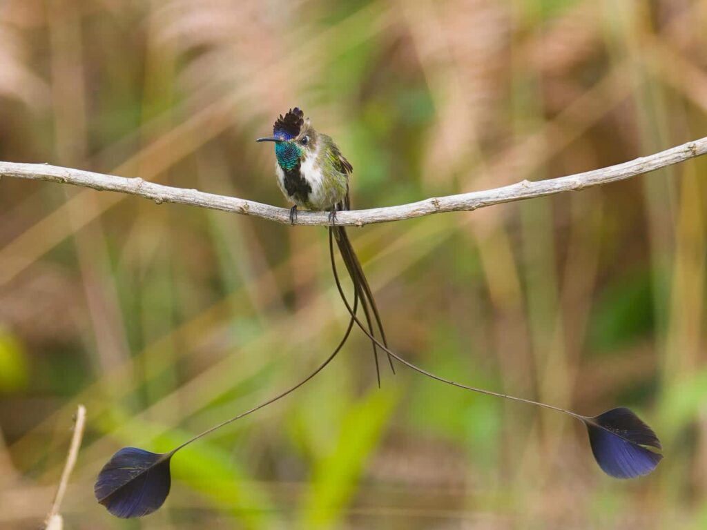
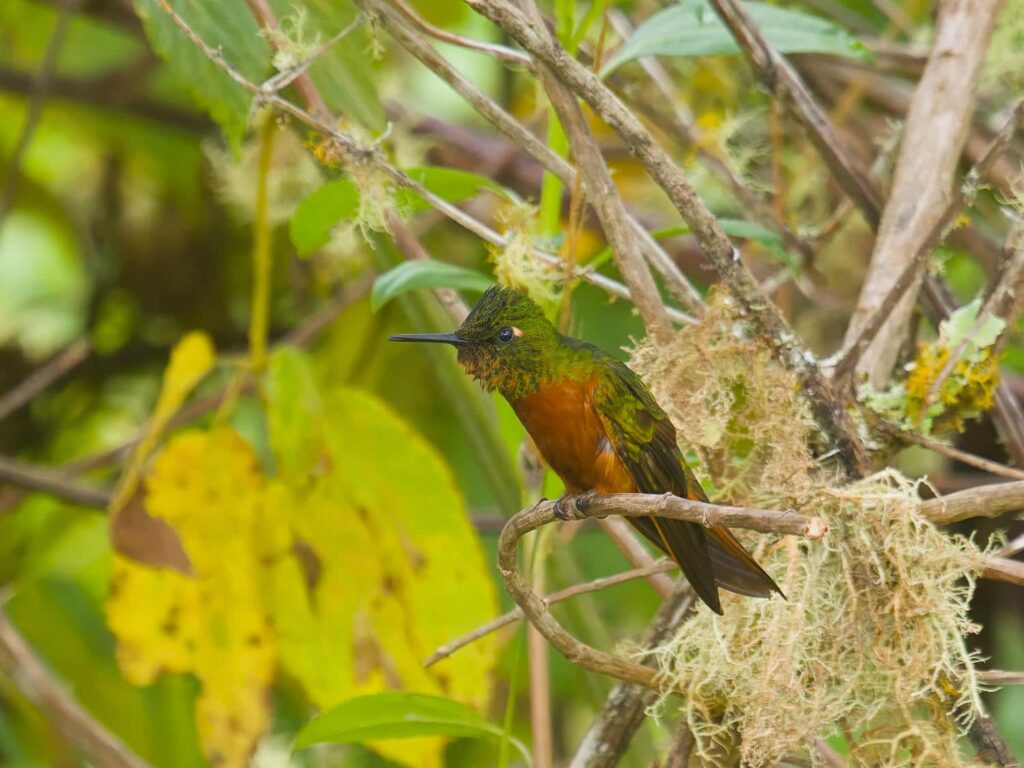
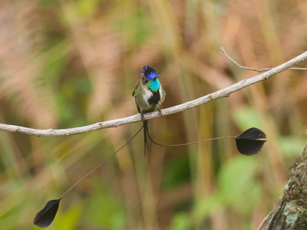
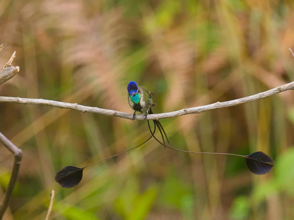
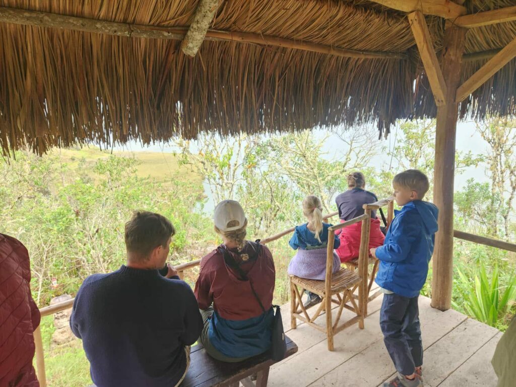
After a 20 minute walk, we all arrived at the top of a large mound overlooking the giant Lake Pomacochas. There were three hummingbird feeders here, with lots of hummers around- including 5 spatuletails! Three of them were males, all with their rackets. They would wave their rackets over their heads, trying to attract the interest of one of the females. We stayed for well over an hour with Eric, Liv, and their children, enjoying each other’s company, as well as the hummingbirds. Liv borrowed my camera for a bit while Eric borrowed our binoculars, and I think it is safe to say that they’ll be purchasing the same models soon!
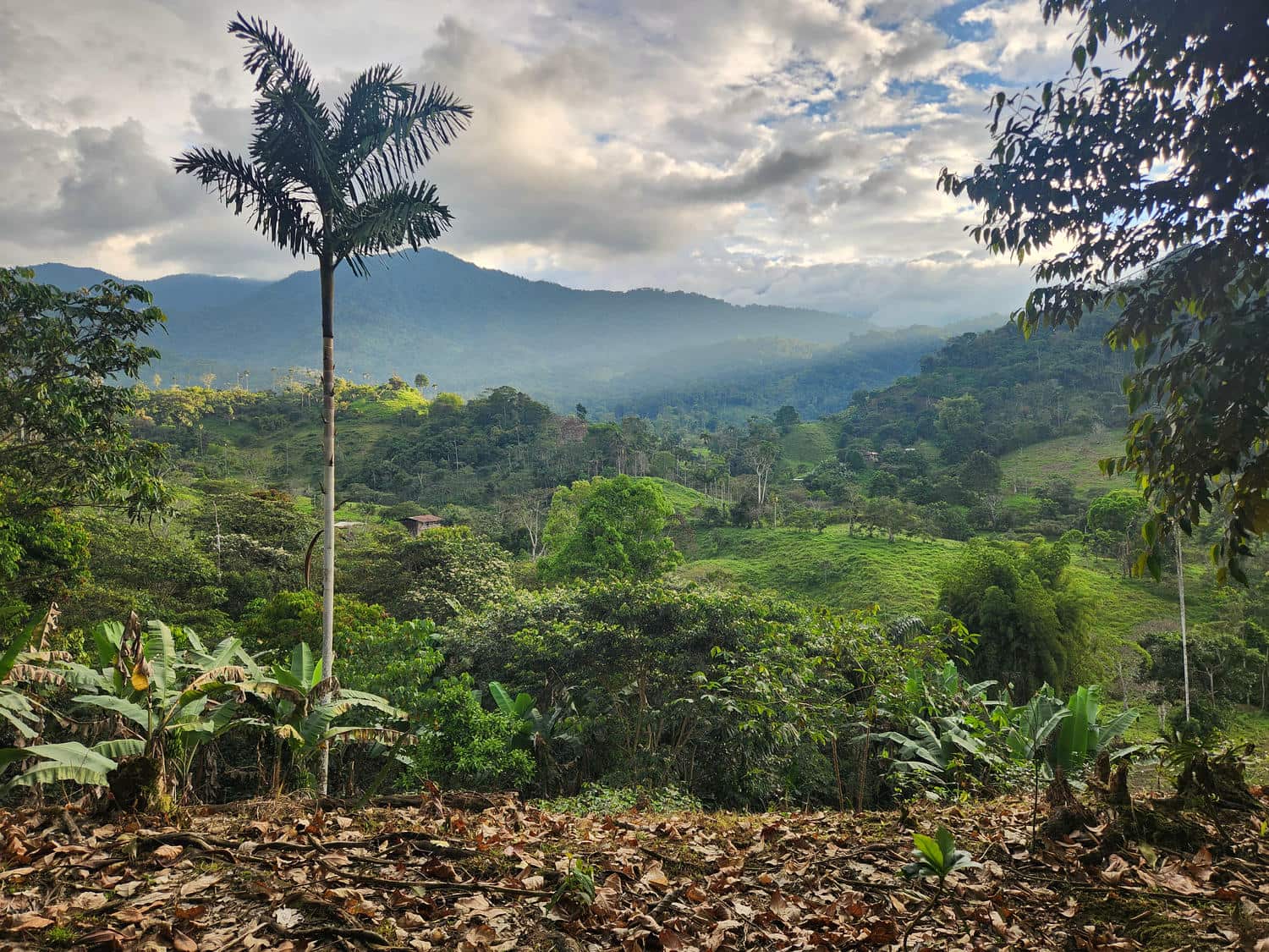
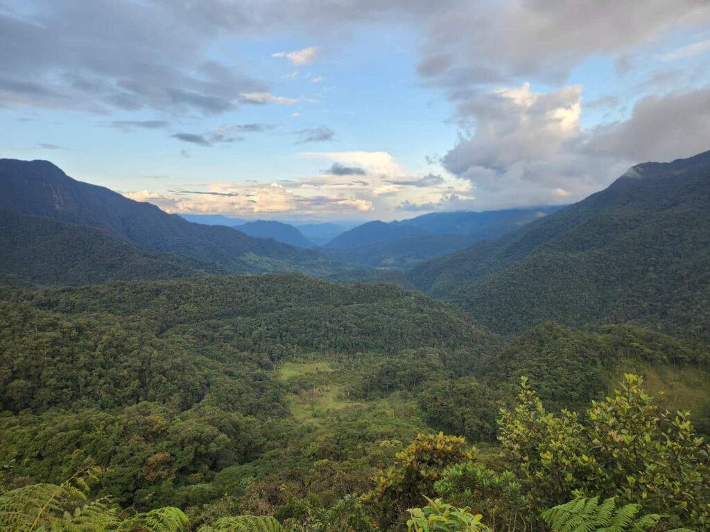
We had thought about staying in the restaurant parking lot for the night, but it was a bit dirty and busy, as well as being right next to the road. We instead decided to continue driving north. We passed through some spectacular cloud forest valleys, before climbing up to a mountain pass with an endless vista east- down to the Amazon! This was the last mountain pass between us and the Amazon- all downhill from here! There was a large pulloff just before the pass, and we had a peaceful night there.
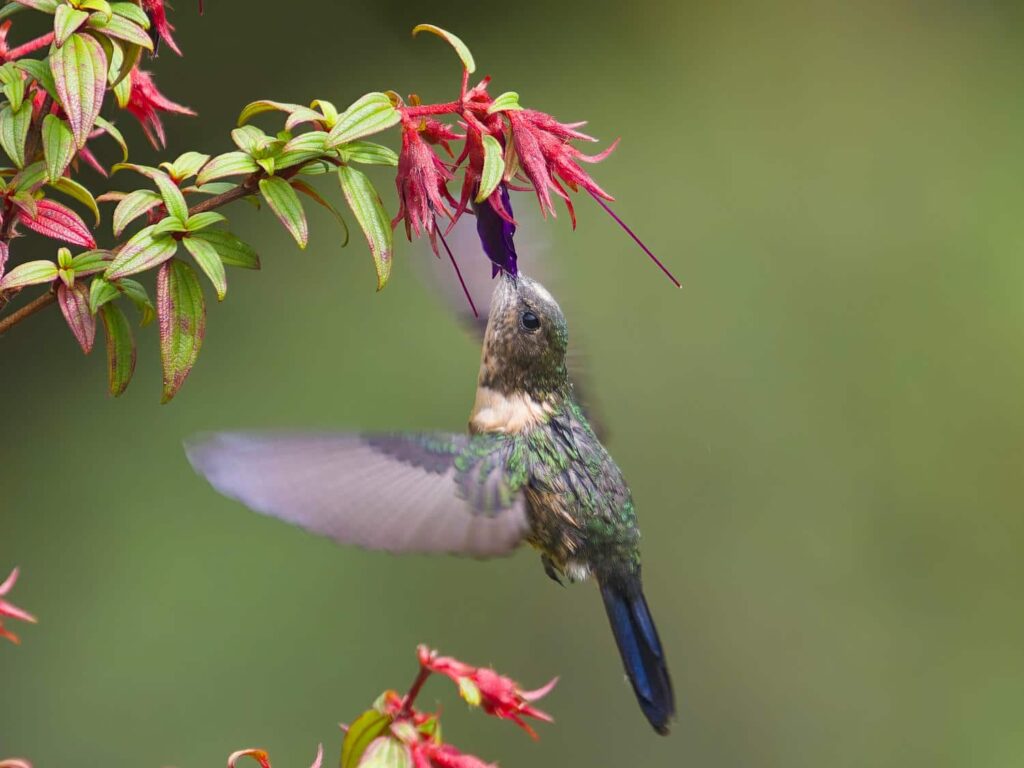
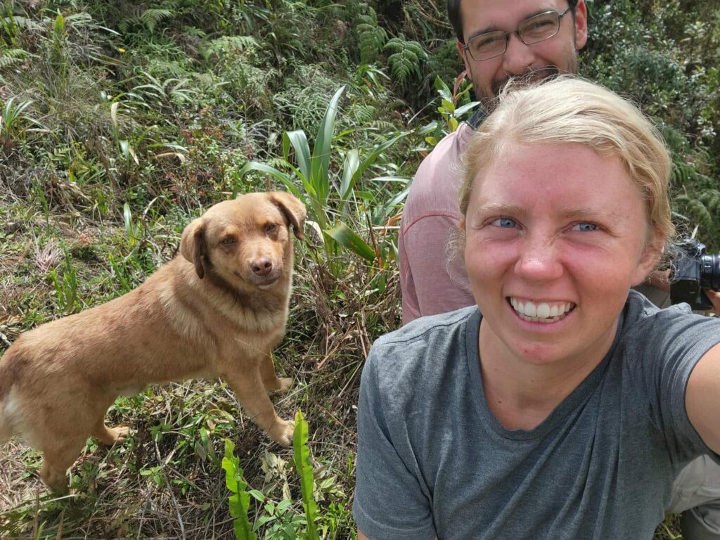
The next morning, I was on a mission to find another hummingbird- the Royal Sunangel, which can only be found at this mountain pass, and maybe less commonly at a few others, but this was the best spot. The female is relatively unremarkable, but the male is entirely an iridescent dark blue. I walked for several miles up and down the road, while Delaney talked with some friends on the phone back home. I finally found a spot that seemed the most likely- this particular hummingbird is known for having a very strong affinity for scrubby mountain ridges. Delaney joined me, and we sat for an hour or two overlooking a scrubby field of flowers at the top of a ridge. Finally, a female flew in! It returned several times, and I got some very nice pictures. About a half hour before we left, I spotted a brilliantly blue male across the road, but despite waiting for half an hour, he never returned. Oh well! This had been one of the most difficult birds to find so far- it took us most of the day, but was immensely satisfying when we finally did find it. Over the course of walking up and down the road looking, a dog had started following me around. It was super sweet and friendly, with beautiful eyes that matched his coat, and though we have sworn over and over again that we will not be adopting any street dogs, this guy really tempted us. He even laid underneath the jeep while we sat on the ridge looking for the hummingbird! I hope someone is taking good care of him.

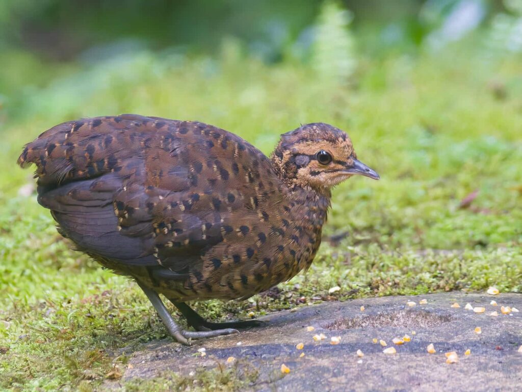
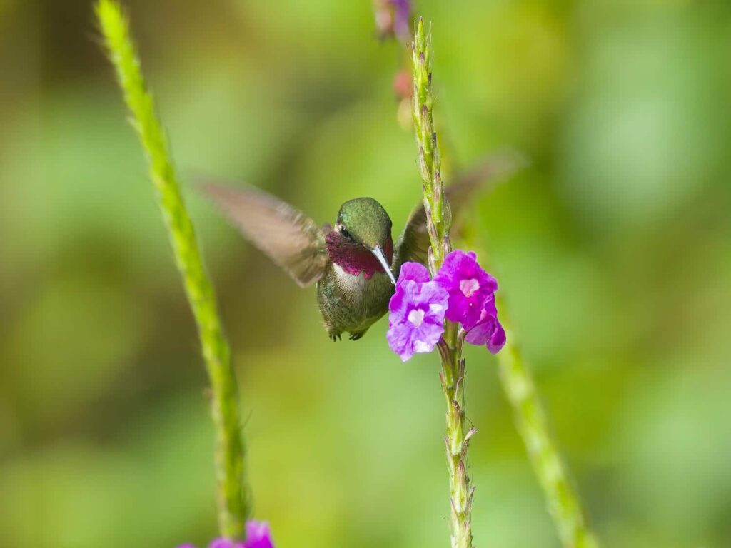
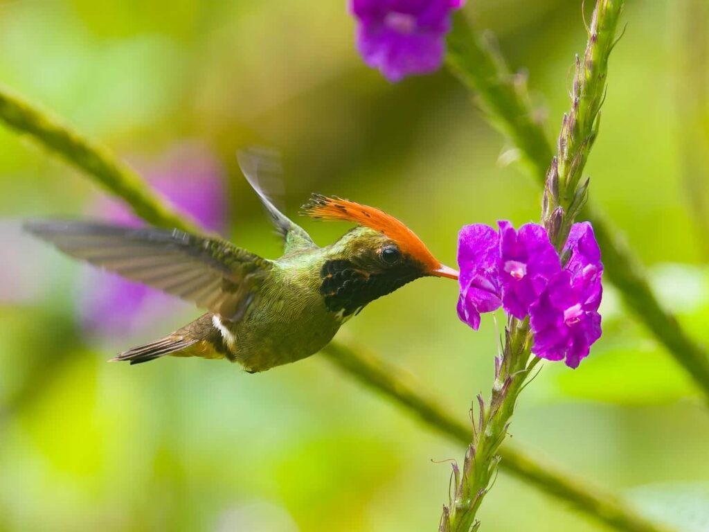
We drove back to the mountain pass we’d arrived at yesterday, and headed on down the hill. I’d arranged to spend the night outside yet another bird reserve- can you sense a theme yet? Because it is right next to the Amazon, this area has a huge amount of both plant and animal diversity, and birds really had been the focus of the area. We camped outside the gate to the reserve, and walked in at 6:30am sharp, as we’d been told. Our first stop was a “blind”- an area that was specifically built for photographers to hide behind, with the animals in front none the wiser. Here we saw two kinds of tinamou- a very stealthy chicken-like bird of deep forests, that are very rarely seen, as well as a wood-quail, which are similarly difficult to find. We then moved on to a huge field of purple flowers, with a platform built up in the middle. There were a few hummingbird feeders, but for once, the hummers seemed more interested in the flowers!
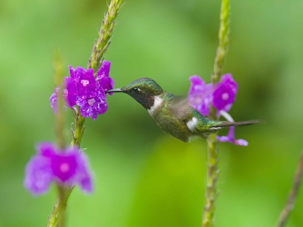
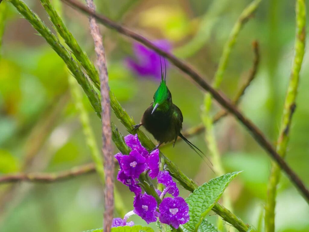
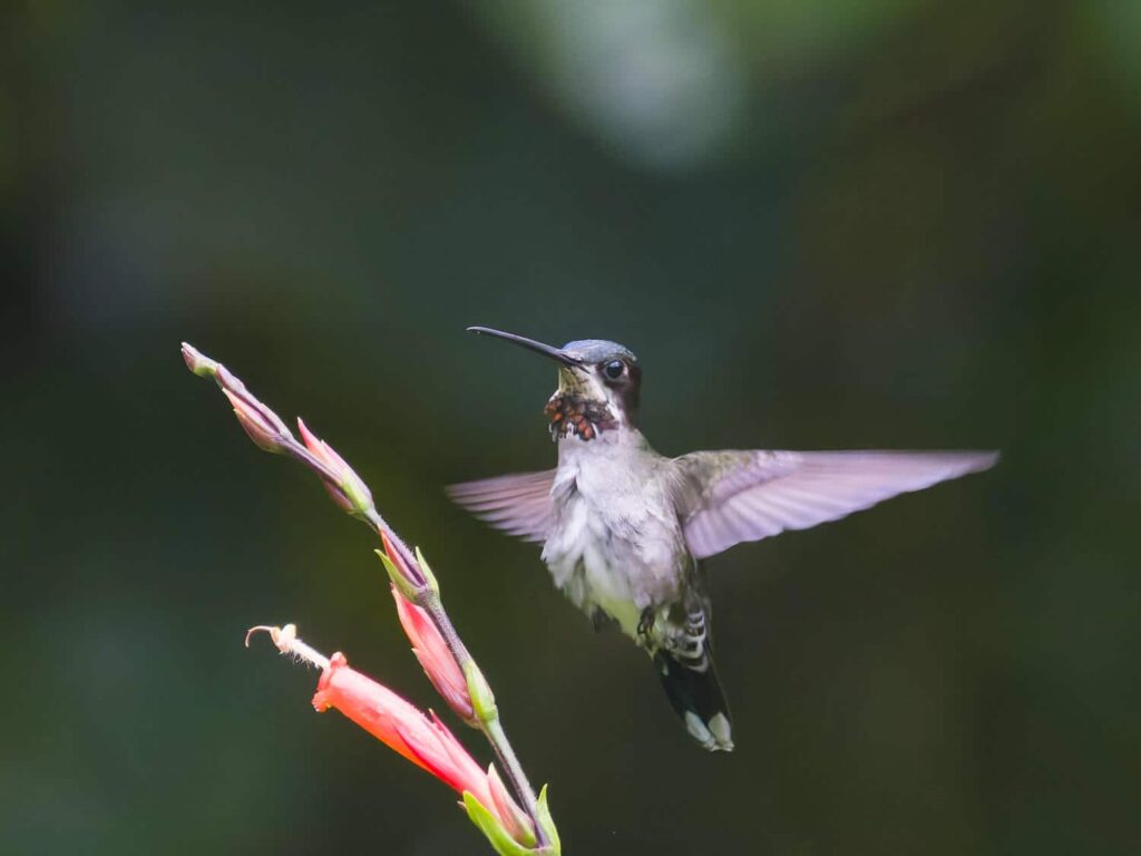
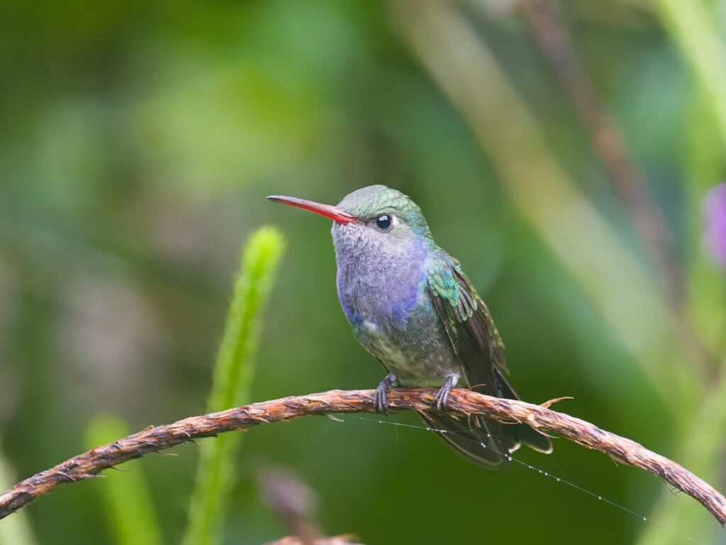
There were a few rare hummingbirds here, and Norvil, the owner, proudly told us that this was the best place in the world to see them. He was very proud of his property- he had built it up over the course of 15 years specifically to attract birds, and now it was internationally known. Apparently he has hosted quite a few National Geographic photographers, and several nature documentaries have been filmed there.
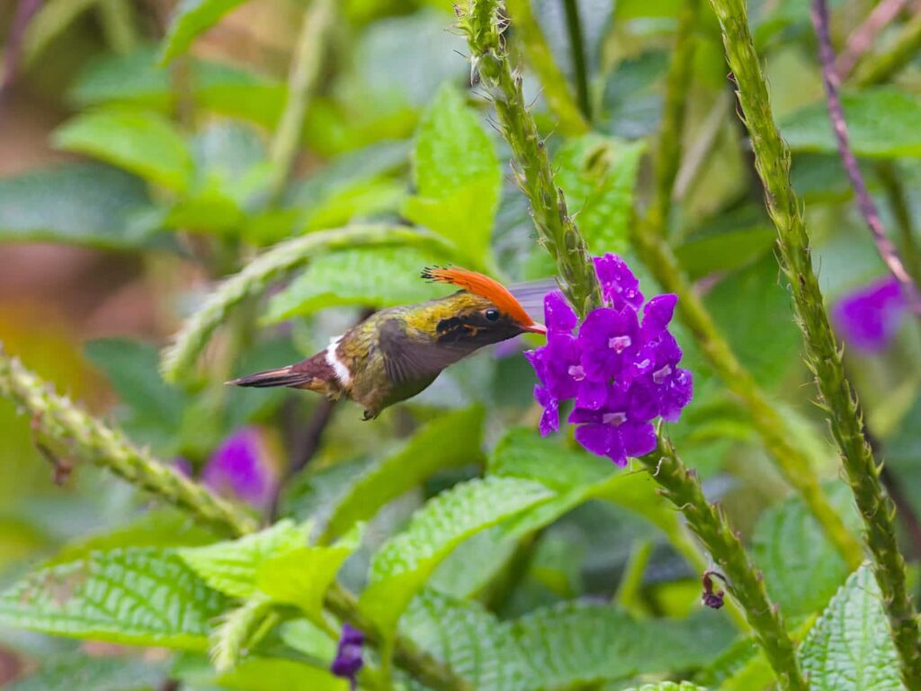
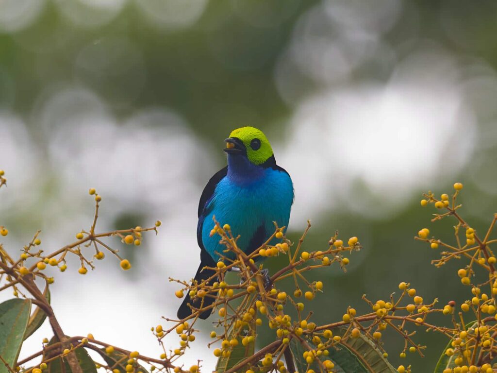
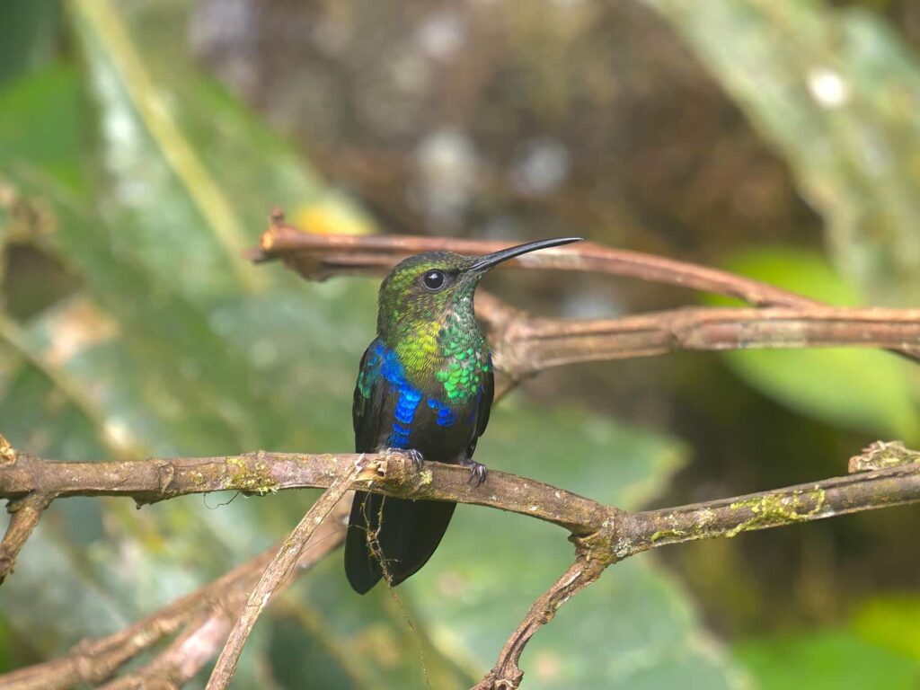
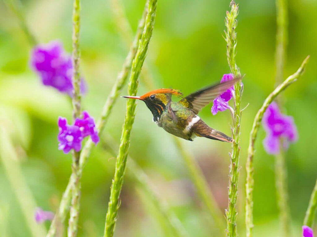
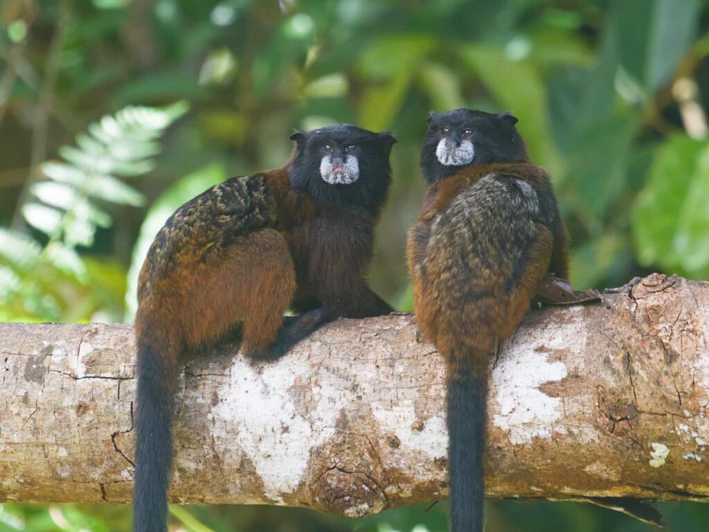
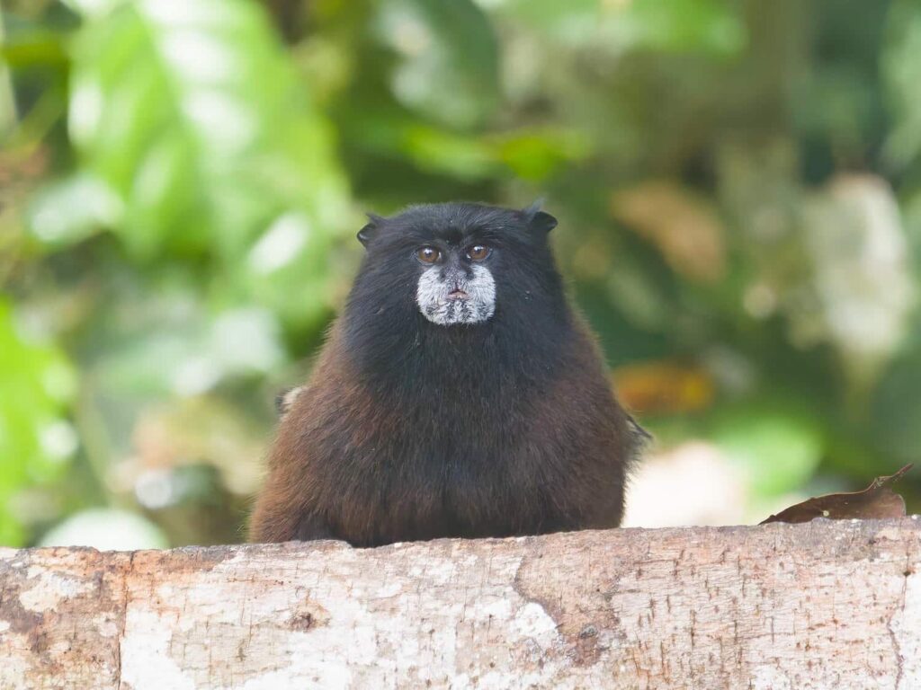
Just as we were about to leave, he ushered us over to a specific spot, and put some bananas down on a log. As if by magic, about 10 tiny monkeys appeared out of nowhere, climbing down the trees to get the bananas. We watched in awe as the monkeys squabbled over the bananas. Just as quickly as they had appeared, they disappeared without a sound back into the forest. It was such a special experience!
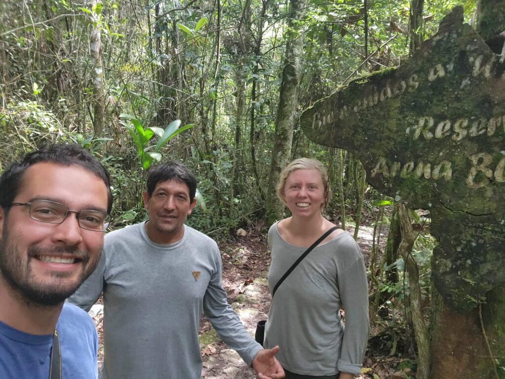
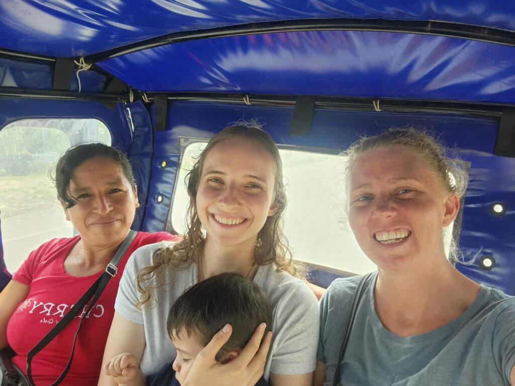
Today was the day we were going to meet Moira and Jose. We stopped for a bit at Aguas Claras, a beautiful crystal clear river just north of the town that they lived in, and swam for a bit in the icy cold water. We then drove to their place, and they met us outside. Moira had come to Peru 4 years ago as a missionary, and had met Jose, a former Catholic seminarian. They had fallen in love and gotten married, and now had a baby, 1-year old Alonso. I’d kind of grown up with Moira and her sisters- they had all been about the same age as me and my brothers, and had also been homeschooled, and their father was the youth minister at their church, where I went frequently when I was in middle school and high school. It was so surreal to see Moira here, in Peru! When she and Jose had visited Alaska about a year and a half earlier, we’d talked about us visiting, but now it was really happening! They had a beautiful little house in the village of Santa Rosa, and they happily showed us around. That evening, we walked around the town a little bit. The women of the little village seemed obsessed with volleyball- Moira said that there were three grass courts in town, and that each of them was busy pretty much every night. The next day was mostly spent catching up, playing with little Alonso, and making some delicious food. Moira and Jose both love to cook, and were determined to show us as much Peruvian cuisine as they could!
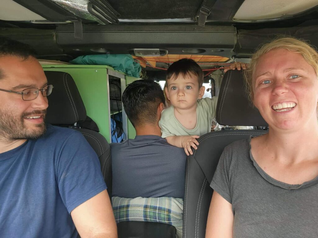
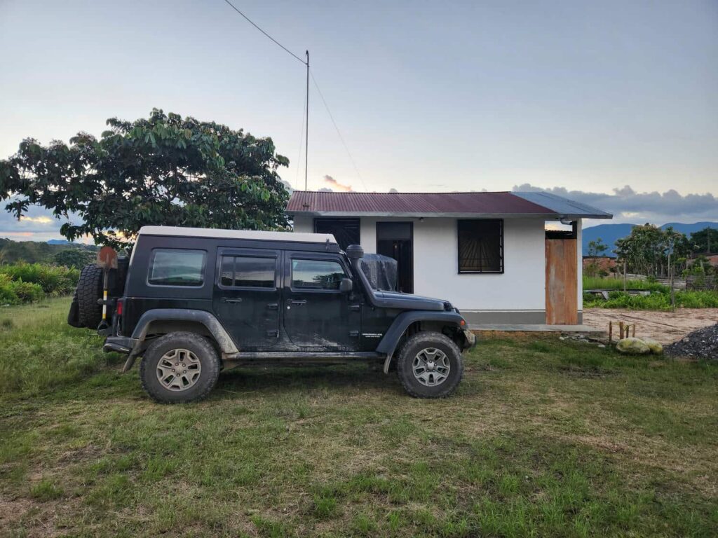
The following day, we were headed to Moyobamba, a larger city about an hour and a half’s drive south. Moira and Jose have a tuk-tuk, or a “motocar” as they are called here in Peru, but we all decided that it would be much more comfortable to pack 4 adults and a child into the jeep, rather than into the motocar. We brought down one of our narrow mattresses and our pillows from “upstairs”, and made the back actually quite comfortable for the three of them. On the way down, Jose asked us to stop at a small grocery store, where he introduced “chifles” to us- thinly sliced, fried, and salted banana chips. They were fantastic, and we’ve bought quite a lot of them since then. Our first stop in Moyobamba was the San Mateo hot springs- a very popular area with a large swimming pool and 8 progressively hotter small pools. We had a lot of fun playing with Alonso- he loves to splash around in the water. After the hot springs, we needed to find a place to watch the first of the two semifinal world cup games. We also wanted to try Ceviche, so we found a place that had both. Ceviche is now a very popular dish in most of Latin America, north to Mexico, but it originated in Peru. It is made by mixing raw fish with some form of citric acid- traditionally a local fruit in northwestern Peru, but now almost exclusively lime. The citric acid in the lime “cooks” the fish, while leaving the fish cool and firm. It is also mixed with a number of other things, including raw onion, cilantro, boiled crab or shrimp, and other things, depending on where you are, but it is always served cold and fresh. We’d had the opportunity to try it anywhere since Baja California, but we’d specifically waited until we were in Peru. I liked it a lot more than Delaney, but we both enjoyed it.
After the game, we all piled back into the jeep and drove to the main grocery store in Moyobamba. It was much better than the one in Chachapoyas, but still a far cry from the stores we’d been to in similarly sized towns of Ecuador and Colombia. It had plenty of fresh vegetables, fruits, grains, and beans, but very little in the way of more processed food like crackers, packaged meat, or dairy. That is probably more healthy for us anyways! We all stocked up and somehow fit all the groceries, plus the 5 of us back into the jeep. We spent a bit of time around the town square and looked at the city cathedral, but it was getting late. Even so, the last hour or so of the drive was in the dark, which was not very fun. There were lots of trucks and such on the road, but also tons of motorbikes and motocars that had no lights, on the front or rear of the vehicle! Apparently it is quite common here to not have functional lights, which is incredibly dangerous. Moira told us of a young girl who had died earlier that year because she was hit by a car while riding in a motocar with no lights. It was a bit of a harrowing drive home, but we made it safely.
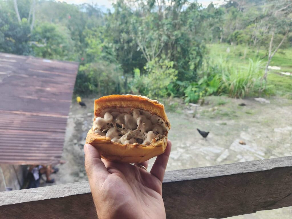
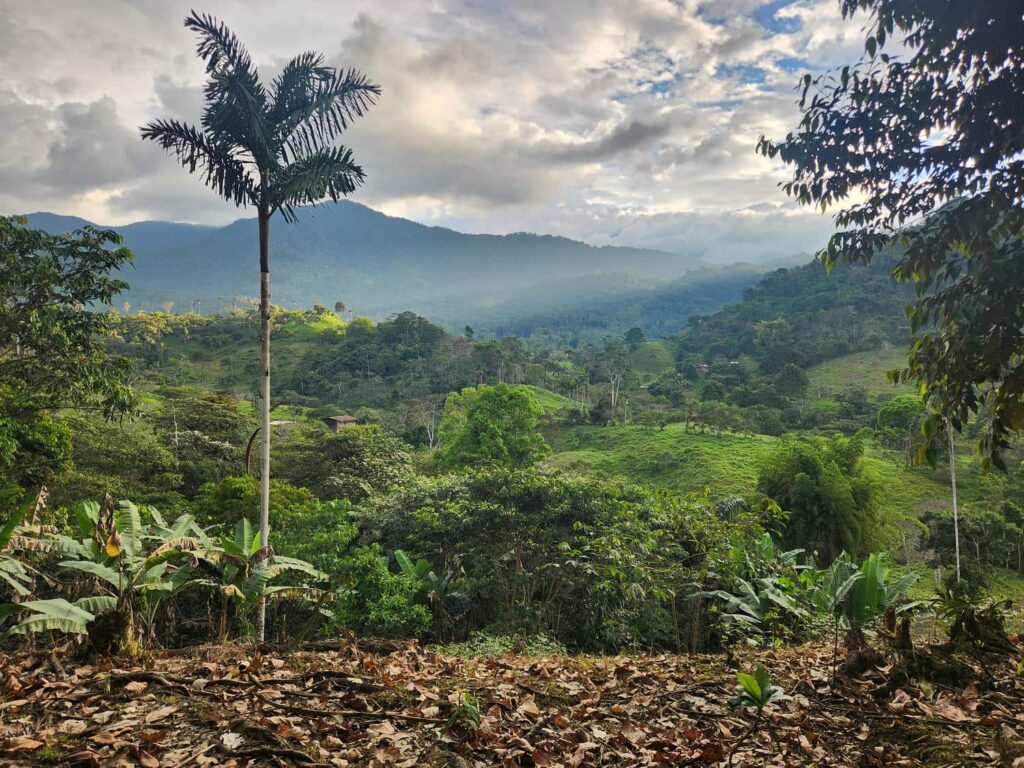
The second of the two semifinal world cup games was the following day, and Moira and Jose don’t have a TV, but they will often go to the church in the larger nearby town of Naranjos where they are good friends with the priest there. We had a great time there, as well as seeing the decorations in Naranjos for their annual celebration of the city’s founding. The next day, we went up to Jose’s grandparent’s place for his grandfather’s birthday party. Jose had grown up not far away on his parents farm, which was very close. He had helped out a lot on both farms growing up. We were given the grand tour of the place- it seemed like they grew everything! They had all sorts of fruit trees, including orange, lemon, mandarin, lime, banana, and cacao, they had sugarcane, coffee, chickens, pigs, cows, and more. Delaney and I spent much of the early afternoon sitting on the small porch, watching farm life go by. We watched Jose’s grandmother butcher a few chickens for the meal that evening, we were fed cacao fruits, which are amazingly delicious, and we got to try sugarcane. It was bizarre to bite into the stiff white fibrous stalks, and to get the taste of pure sugar water! It is amazingly concentrated and amazingly sweet.
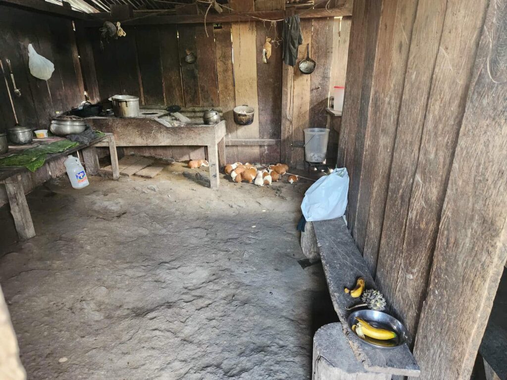
Jose’s aunts and uncles kept showing up as the afternoon wore on, and we all sat down for a delicious chicken and rice dish in the rustic kitchen/dining room outbuilding. It is a separate building because Jose’s grandmother mostly cooks with a wood-fired stove, which would make their house quite smokey if it was attached! The building itself was quite rustic, with a dirt floor, and was dimly lit by one or two small light bulbs. It was like going back in time 100 years- there were very traditional male/female roles around mealtime, meaning that the women did all the work and the men did nothing. It was a bit difficult to accept, but Moira had warned us a bit- there was no changing it, and it was just expected that the women wouldn’t even necessarily sit down to eat. It was a great evening, and we were very glad that Moira was there to translate for us with all the rapid Spanish going back and forth. Earlier in the afternoon, Jose and his grandfather and I had gone down to the banana trees, as his grandfather was intent on gifting us a massive bunch of bananas. He cut the bunch down by jabbing at the root of it with a long stick, until it crashed to the ground. He then cut down the rest of the massive stalk, about 10 inches across, with a machete. Banana tree sap sprayed everywhere as he chopped it down- the stalk must be half water! Jose and I then traded off carrying the bunch back to the house. After dinner, as we were leaving to walk the few hundred feet back to the jeep, I picked the bunch up and put it on my shoulders. Jose and his uncles were amazed that I could do this myself- it usually takes two of them to load it onto someone’s back. There is no ego booster like having a bunch of farmers tell you that you are very strong! It was so strange seeing an entire bunch of bananas sitting in the back of the jeep. We split the bunch between Moira/Jose and us- we took about 2/3rds of it with us, which amounted to around 70 bananas. We only just finished eating them as I write this several weeks later!

The next day, Jose’s mother invited us over for lunch, and served us guinea pig! Many people in this area raise them, including Jose’s grandparents, but they apparently are quite expensive, so we were honored that she chose to serve them to us. We’d seen them advertised since northern Ecuador, but we’re glad we waited to try them as a local would cook them, not a restaurant. They were served fried, and each of us got a leg. It was delicious- all dark meat, quite like a turkey leg or something similar, but the skin was crispy like a piece of unbreaded fried chicken. I would absolutely have it again!
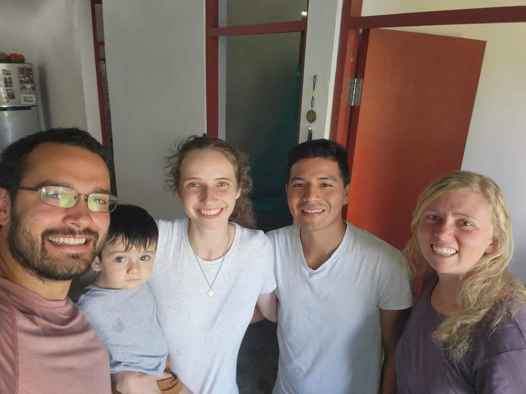
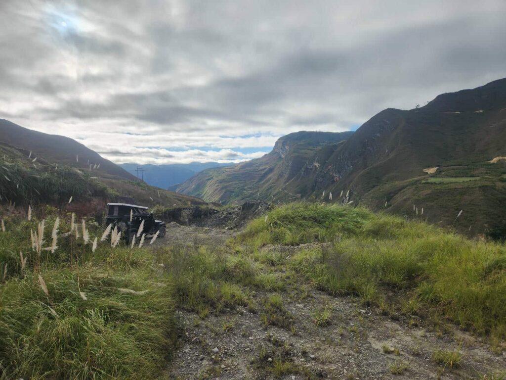
It was sadly time for us to leave. We had really enjoyed our time with Moira, Jose, and Alonso, and it was difficult to say goodbye. It had been so surreal to meet here, and we are so glad we made it work. We left relatively early in the morning in preparation for a long drive day to Kuelap. We drove back north, over the mountain pass, and back past Yumbilla Falls, Gocta Falls, and Chachapoyas to where we had met Eric and his family. The road was terrible, but the scenery was beautiful as we drove up the narrowing Utcubamba river valley. We eventually turned off and climbed up to a camp spot near the eastern and less-visited side of Kuelap. The western side is much more popular, with a cable car carrying tourists to the top. The camp spot was beautiful, slightly hidden from the road, and had an amazing view. The next morning, we drove a half hour further up the incredibly steep mountain road to the parking lot for the east entrance. On hiking in, we got a bit confused and hiked nearly 2 miles further than we needed to- there were signs that pointed to the “city of Kuelap”, but we disregarded those as we thought that they led to the actual modern-day town- but alas, it was for the ruins! No matter, it was a nice circular walk, and we eventually found the entrance gate.
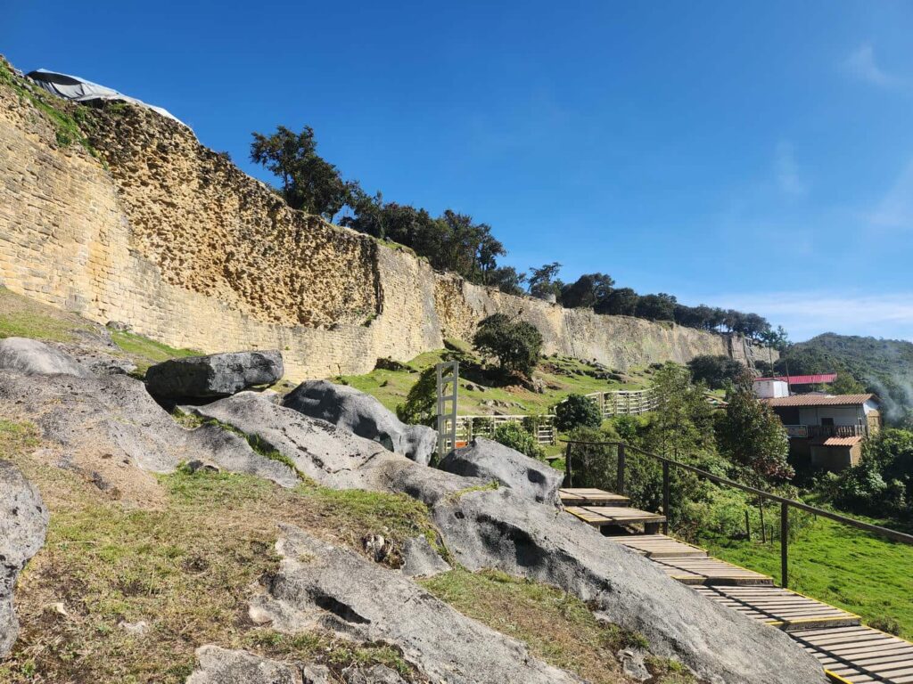
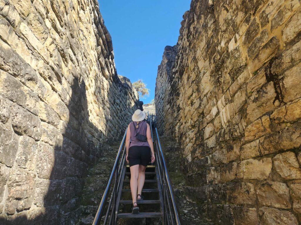
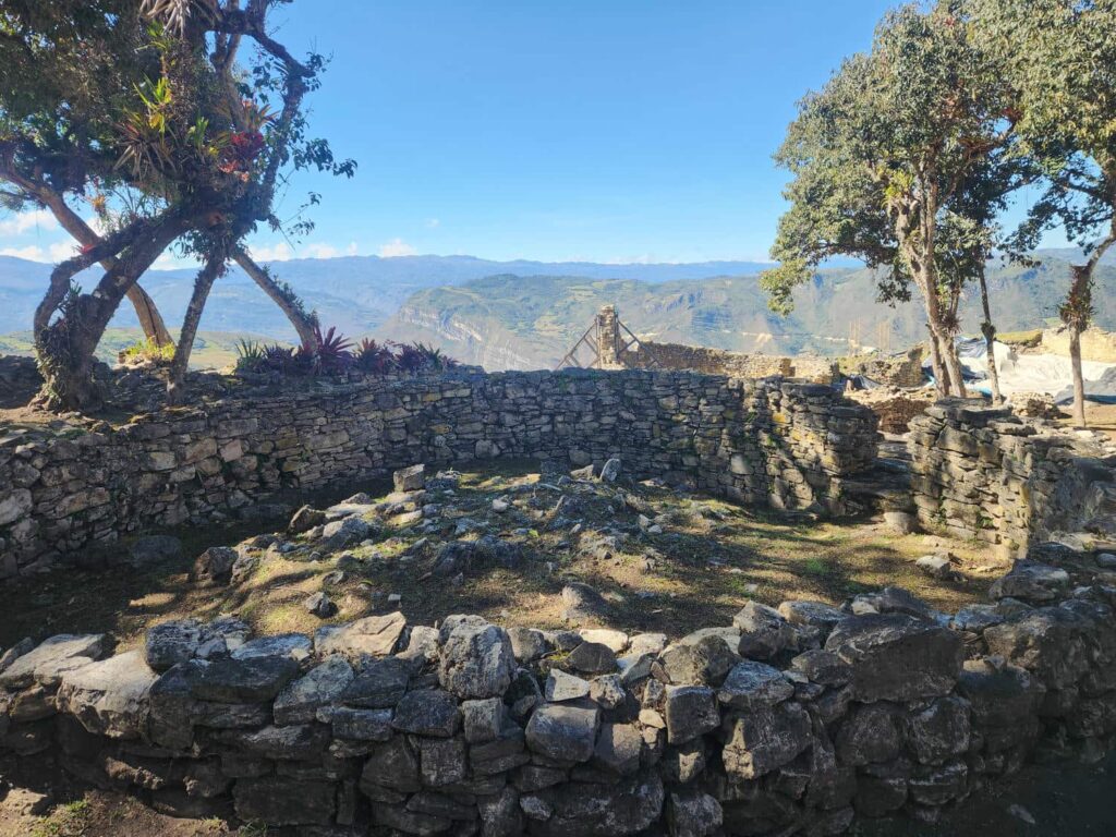
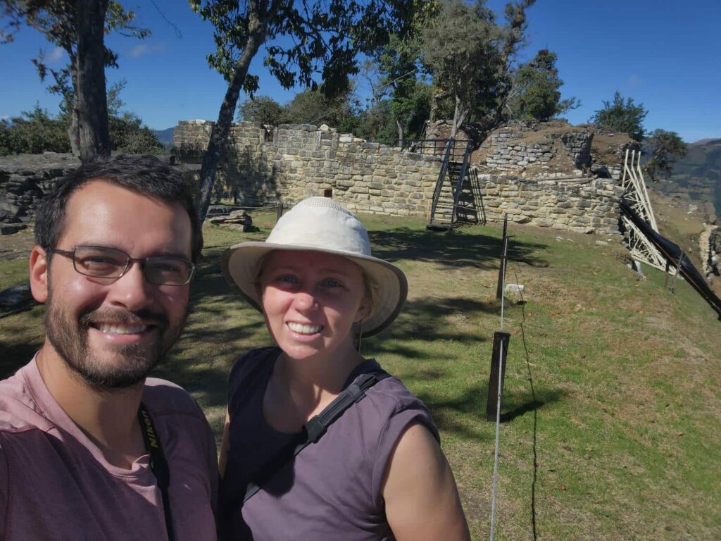
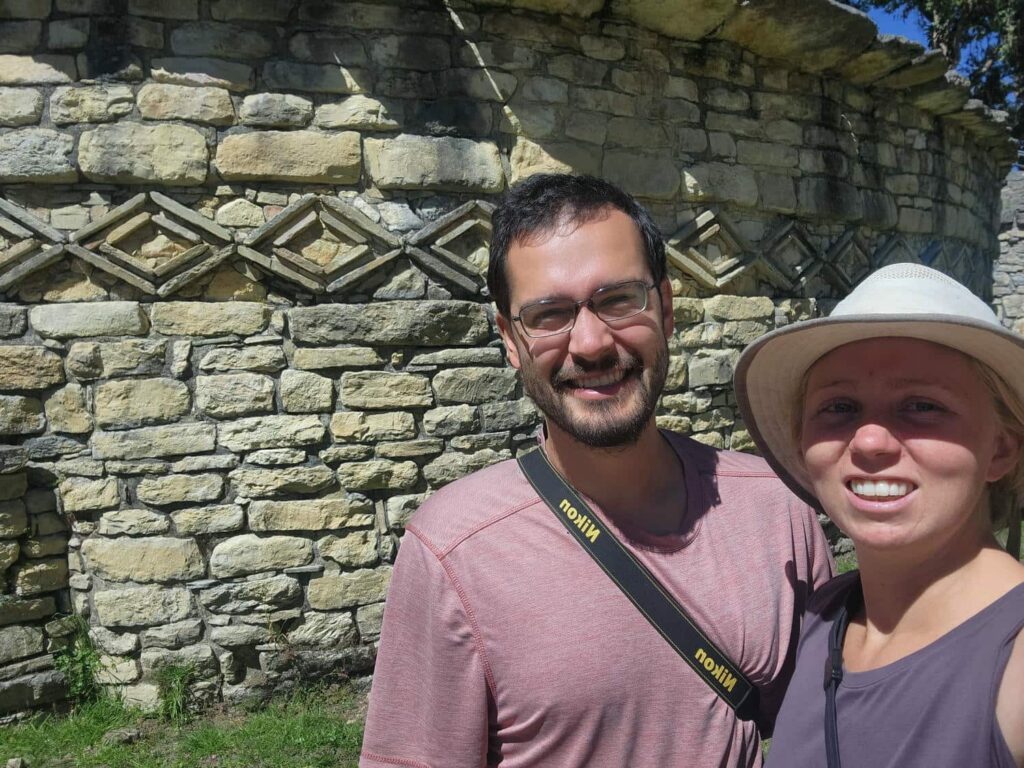
The night before I had struggled mightily with the Peruvian government’s online system for selling tickets- it took me nearly an hour to spend the mere 60 soles, less than $20, to get tickets. They are only available online- it is not possible to buy them on-site. I am glad that I didn’t give up, because it was amazing. It is similar to Machu Pichu- an ancient city at the very top of a mountain, with 360 degree views. Most of the ruins no longer have their roofs, but the walls of the many buildings were almost all perfectly circular, made of stacked rock and sealed with mud. Much like Machu Pichu, there was a very specific path that you had to follow through the ruins- wandering off on your own wasn’t allowed, but the established path neatly wove through the entire area. The views were incredible, and it was fascinating to think of the people that lived here looking out across the mountains a thousand years ago.
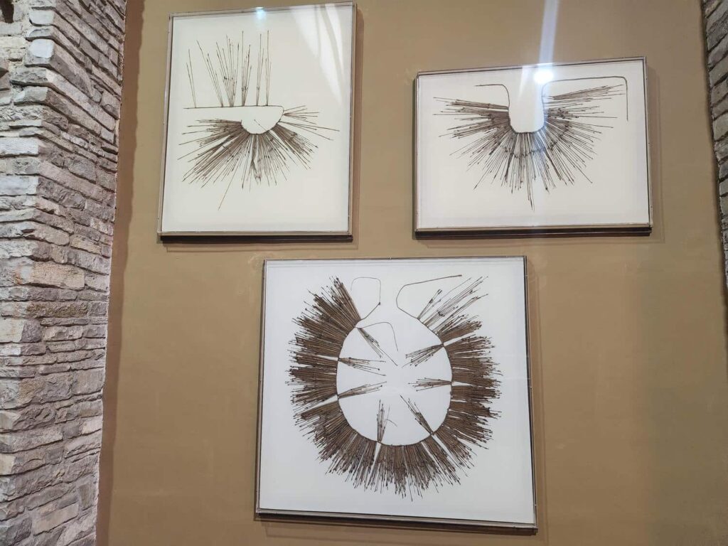
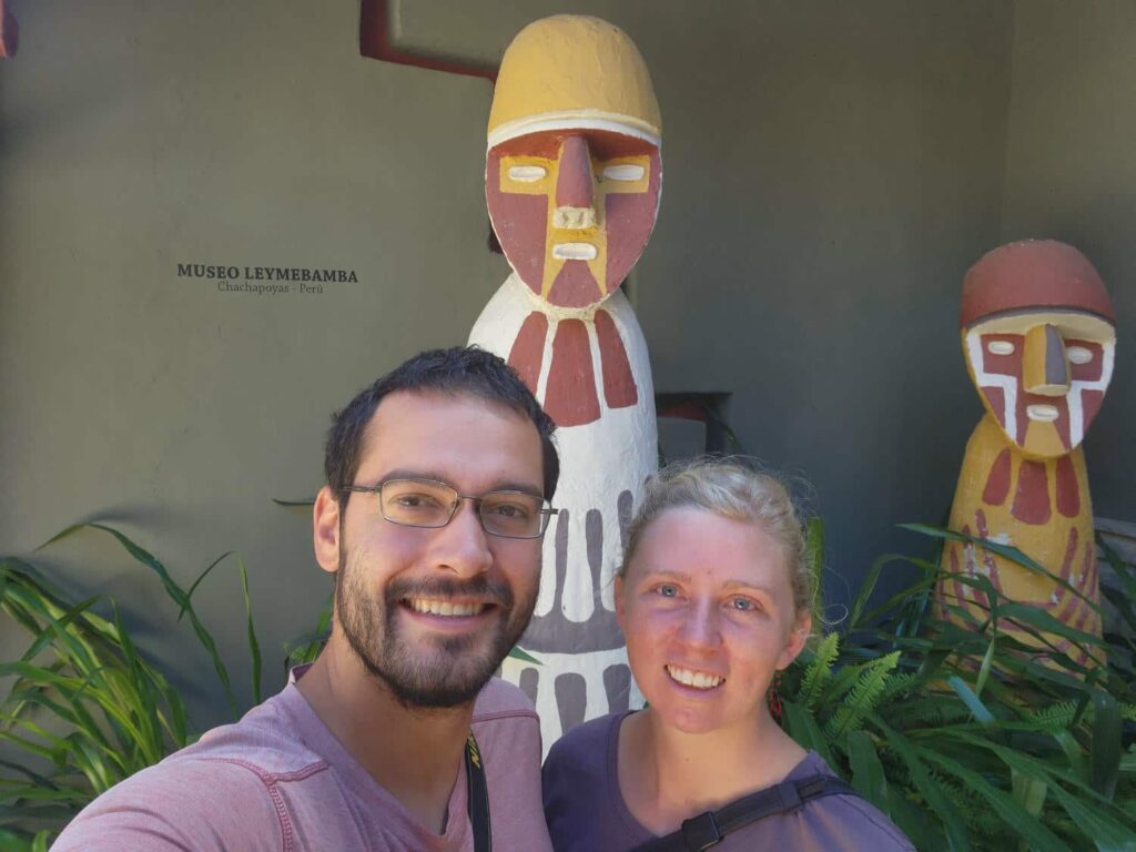
We’d purchased the earliest entrance tickets possible, so we had quite a lot of time left in the day. We drove south to Leimebamba, a small town that is well known for its incredible museum of the Chachapoyas culture that had built Kuelap. Unfortunately, the world cup final was also the same day, and we didn’t have enough time to visit the museum first, and the museum closed just as the game was supposed to finish. We drove through Leimebamba and found a tiny restaurant with only 5 tables just off the city square that had a TV on, so we parked and had a late lunch as the game started. It was fantastic- first a bowl of chicken soup, followed by rice and chicharron- chunks of fried pork, which I have found to be absolutely delicious. We sat in the restaurant for several hours as the game went on, people coming and going, sometimes just popping in for a few minutes to watch the game. It was a really cool experience- they even served popcorn for the people watching the game! It seemed like they were very happy to have us there enjoying the afternoon with them. After the game finally ended, at nearly 5pm, we headed up out of town to a campsite. It was a beautiful spot right next to a stream, with views of mountains all around us. In the morning, we went back down into Leimebamba to visit the museum, which is quite famous. It was very modern- probably the most modern building we’d seen in Peru thus far. It housed all sorts of relics from the Chachapoyas culture who had once inhabited this valley. There was pottery, wood carvings, tools, and more. The Chachapoyas were eventually conquered by the Inca, and some of the Inca Quipu were housed in the museum- intricate lengths of tied string, with small knots and other strings tied on everywhere into what looks like a hopeless mess, but was actually the writing style of the Inca. Some Quipu include thousands of different strings, all tied together! It has not been completely deciphered yet, but is thought to mostly be numbers for recordkeeping or tax purposes, not writing.
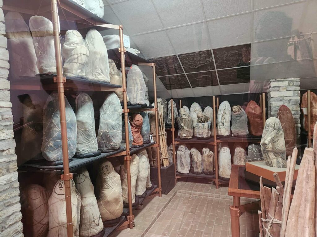
The most important, and impressive part of the museum however, is the mummies. The Chachapoyas culture almost obsessively tucked mummies into every little nook and cranny they could find in the mountains, the more inaccessible the better. Some were placed hidden in caves high in the cliffs, some were covered with clay, painted, and perched on an overlooking shelf of rock high above the valley floor, and some were put in purpose-built mausoleums, the most prominent of which is at the Laguna de los Condores, or Lake of the Condors. It is possible to hike to the lake, but it is quite expensive and a guide is required, so we skipped it- but nearly all the mummies have been brought to this museum. It is a bit spooky how the mummies are revealed- there is a large, dark window in a part of the museum that starts talking about the mummies, and the light in the room on the other side of the window is motion-activated- so I unsuspectingly walked up to this dark window and was startled a bit when the light turned on suddenly with around 60 mummies staring back at me. I made sure not to tell Delaney so that she could also be surprised by it! The mummies are all tightly wrapped in a squatting position, with their arms tied closely around them. It was quite sad to see the mummies that had obviously been children, or even infants. It was such an interesting museum, and with our Spanish slowly improving, we were able to at least get the gist of many of the museum signs. It was also fascinating to see purported proof of how the mummies were still being deposited in the mausoleum even a while after the Spanish had arrived- several unmistakable Christian crosses were found there also, with the mummies.
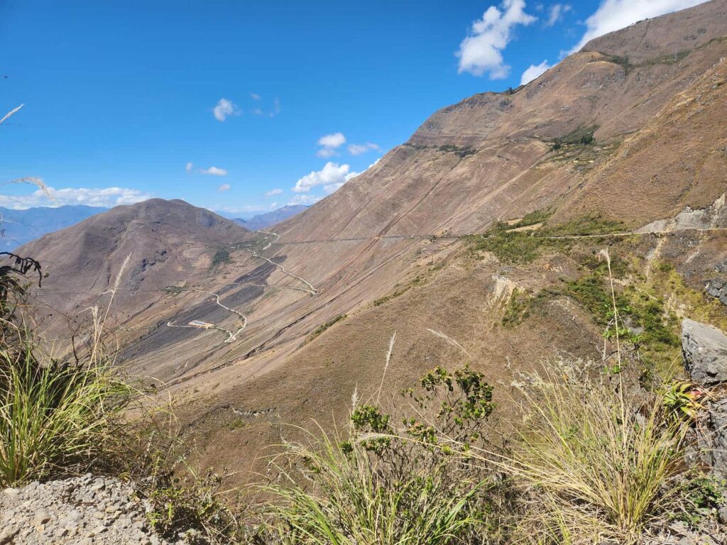
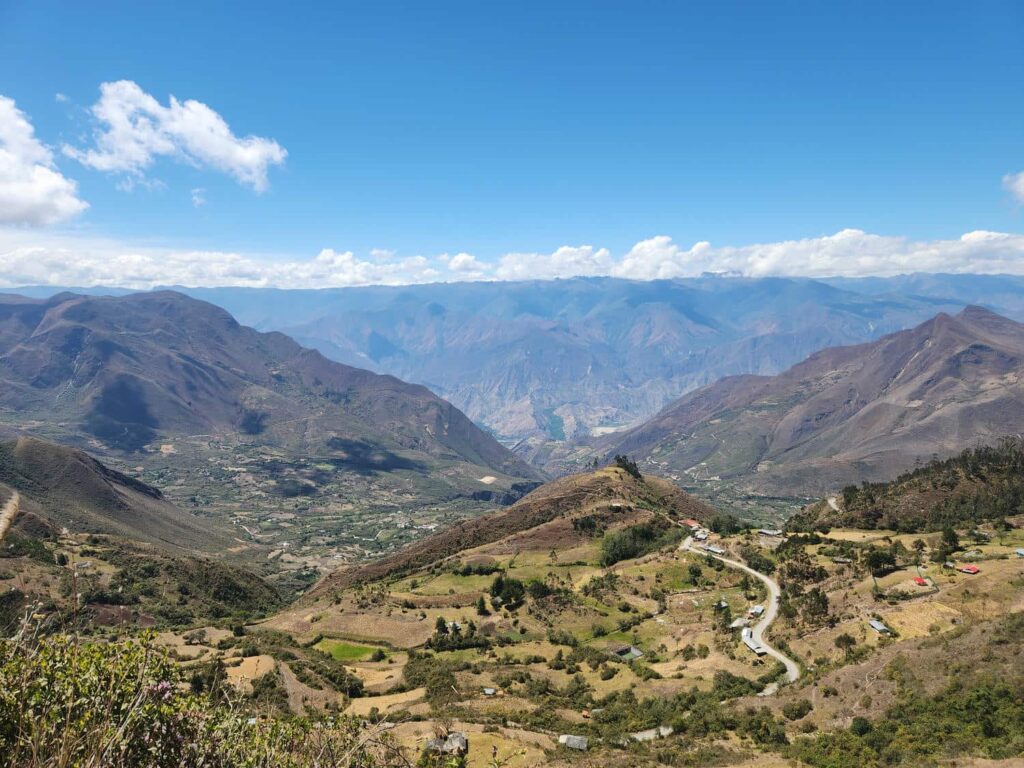
We tried to visit a cafe that supposedly had hummingbird feeders right across the street from the museum, but no one was there. We headed back west past where we had camped the night before, onto the legendary Leimebamba-Celendin road. I had scoped this road out years ago, and it is well known as an incredibly scenic shelf road. It goes from Leimebamba up to the rim of the massive Maranon river valley at over 12,000ft, down to the river at 2700ft, and back up to the other rim of the canyon at nearly 14,000ft. We stopped at the first rim and walked around for a bit, marveling at the stunning view. Heading down the canyon, we drove through innumerable switchbacks as we slowly rolled down the steep valley walls. It took us several hours to get to a spot that Eric had told us to camp at- a small pullout with a ridiculous view at the valley below, with the mountains on the far side.
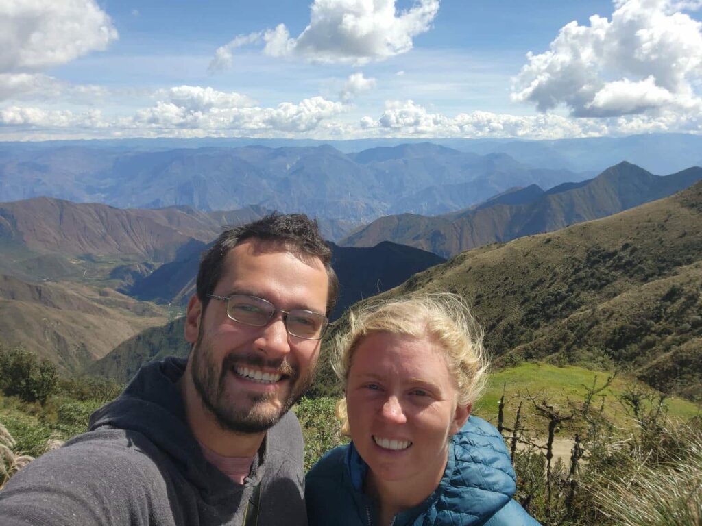
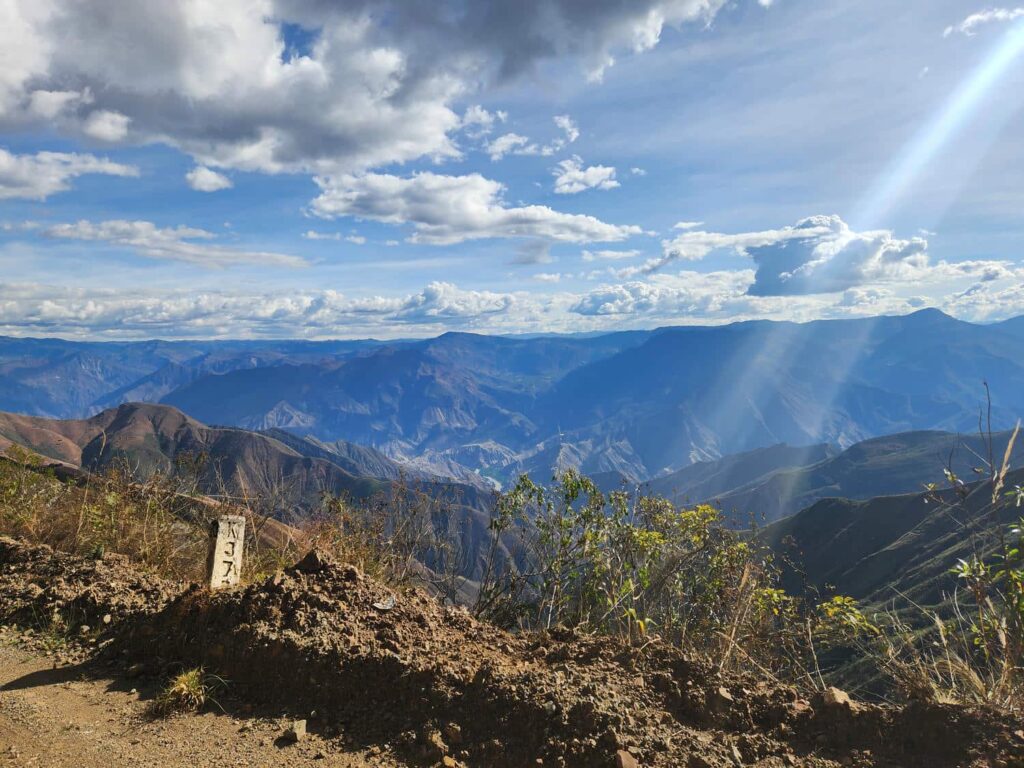
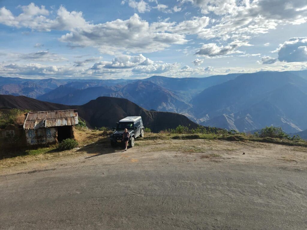
The vastness of the valley defies description- it was one of the most amazing views we have seen on this entire trip. In the morning, we continued down along the narrow shelf road. Parts of it had drop-offs of hundreds of feet along narrow sections only just wide enough for the small trucks that pass through. We eventually passed through a small village at the bottom, one of the few green areas of the canyon- it is mostly extremely dry. There were mango trees everywhere, and we picked up a few that looked like they were close to getting ripe. Just a bit further down and we reached the giant bridge across the Maranon river at the bottom. It was large and impressively built, and looked quite out of place among the tiny villages.
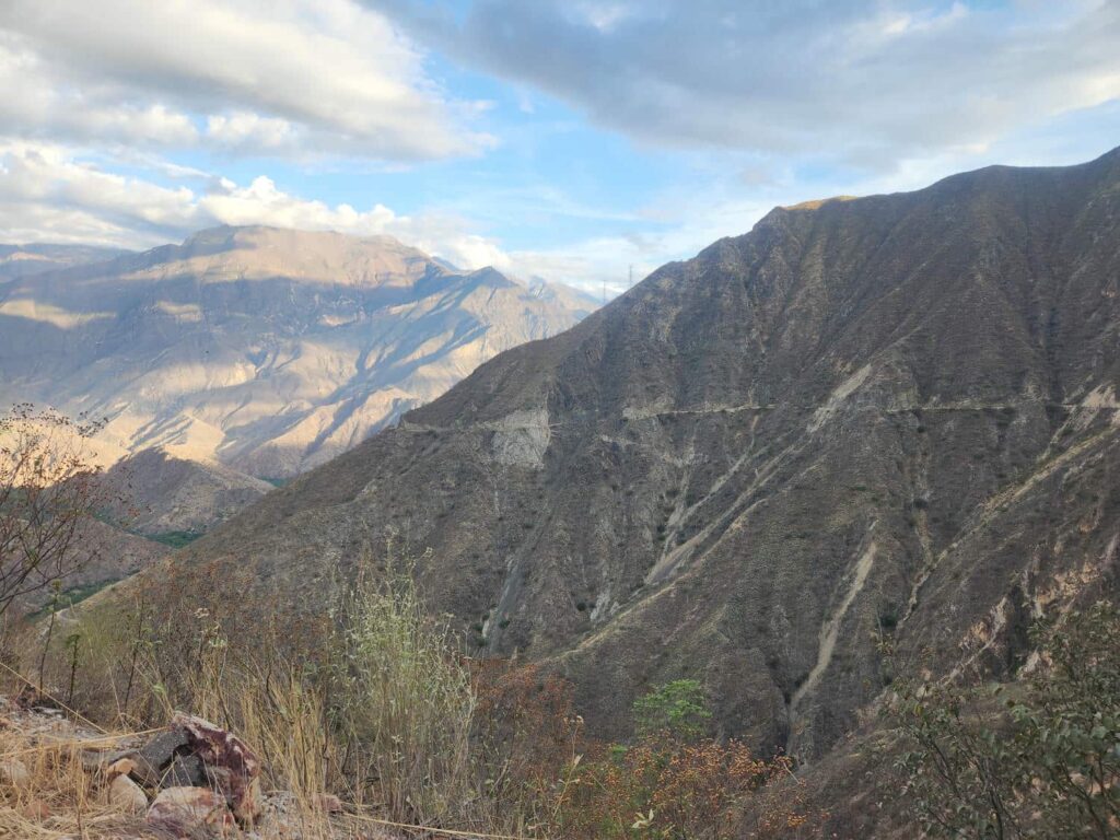
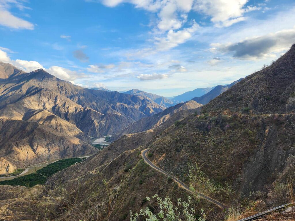
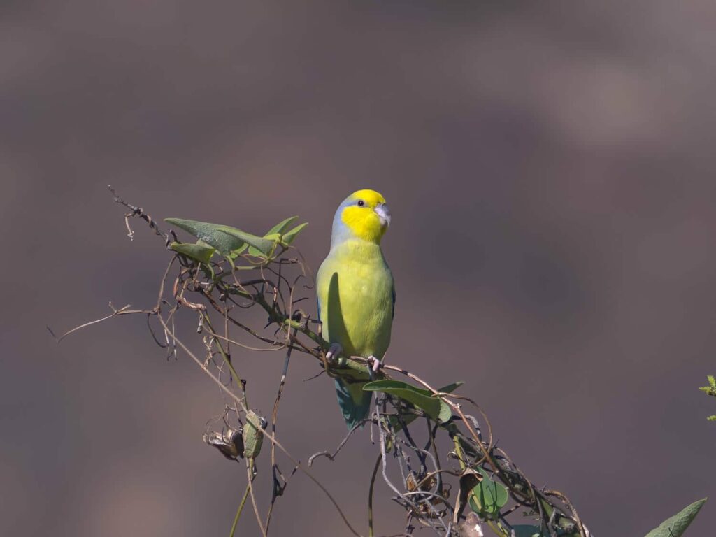
A short ways back up the other side, we stopped to look for a bird endemic to this area: the yellow-faced parrotlet, a small parakeet that is only found along this river. It didn’t take long for a pair to come squawking in, and they stopped just long enough for me to take some excellent pictures of them. This side of the valley was a bit more populated, with more farms and a few more villages. We stopped briefly to look for a few other birds without luck- we were back in the heat of the desert, and it seems everything goes into hiding after around 8am! We slowly crawled up the other side of the valley. It took us over 4 hours to get from our camp which was itself a few hours from the top of the east rim, all the way down and back up to the west rim, at over 14,000ft. It was only a few switchbacks down the other side to get to Celendin, another dusty colonial town. We’d been told by David and Regula, the Swiss cyclists, that we should stop at a specific store to get some chocolate- Delaney was quite excited to hear about that! They had some delicious chocolate bars but also tons of bonbons with all sorts of different flavors- lime, guanabana, blueberry, caramel, you name it. At only 1 Peruvian Sol apiece, around $0.30USD, we got a lot of them!
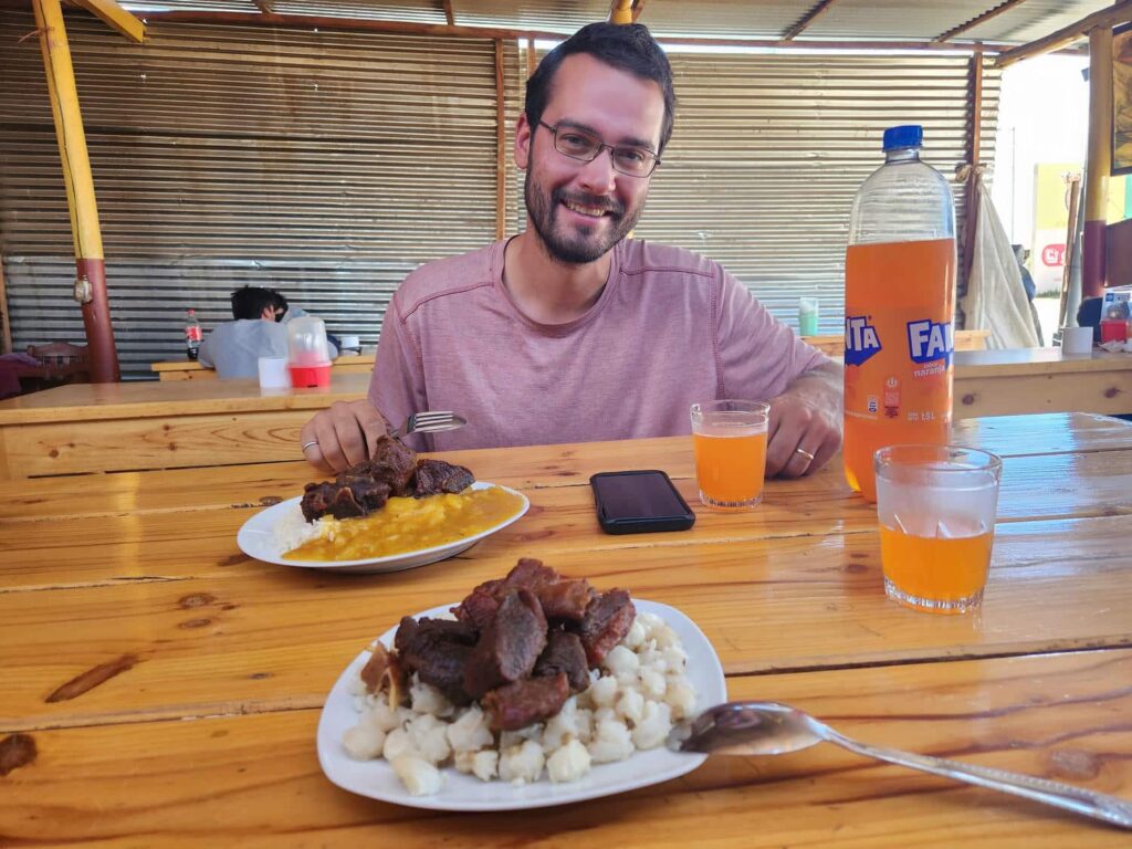
After Celendin, we had to find a place to pull over and air the tires back up- they’d been at “offroad” pressure for the past 4 days! As luck would have it, the place we stopped was kind of a truck stop of sorts- a large dirt parking lot with some stalls and restaurants around. We decided to have a late lunch at one of them, and enjoyed some more delicious chicharron. I got mine with rice and Delaney got hers with corn- but the corn was served cold! It was a bit strange, but we got used to it and were hungry enough to finish it all. Two meals and a large bottle of soda I bought there came to 30 soles, about 9 USD. We then drove off in search of a campsite, and found one just above the town of Encanada. We saw a little dirt road leading up to the top of a hill, and at the top of the hill we found that the entire thing had been flattened out. It was like a 10-acre gravel pit- perfect for a night. We enjoyed it there so much that we ended up staying a second night, mostly doing nothing and relaxing from the sketchy roads we’d been on the last few days.
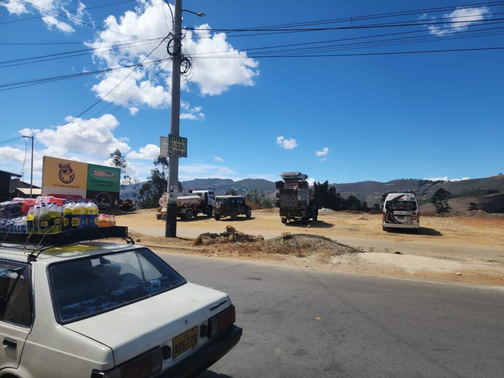
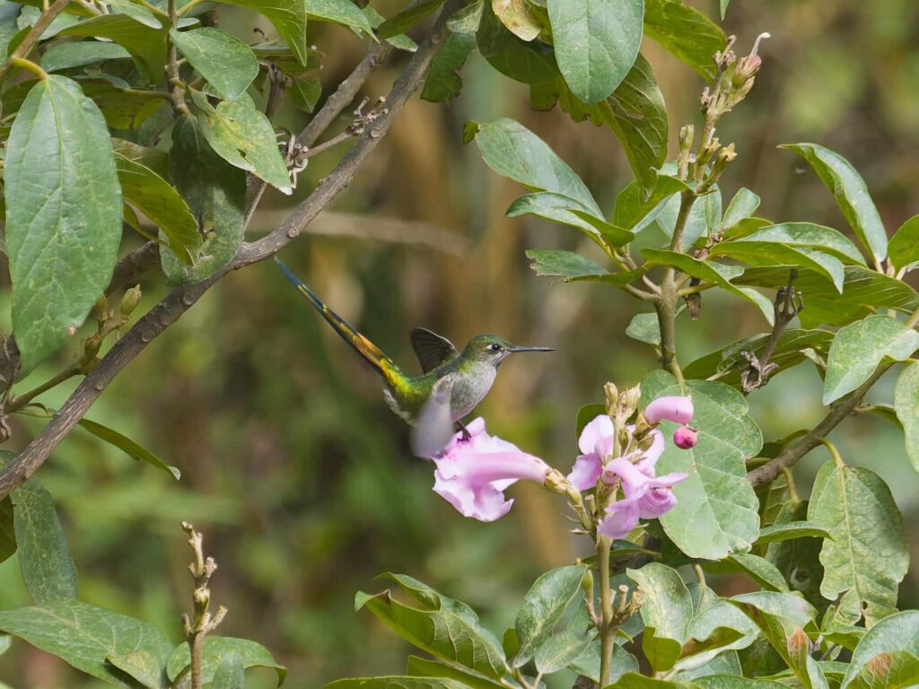
After a lovely two nights there, where we didn’t see a single other person, we headed down through Encanada, and struggled a bit to find the correct road out of town- it was definitely built around horses or motorbikes, not big jeeps! We eventually made it through and drove along a beautiful dirt road through innumerable farms, ending by descending down many little switchbacks into a canyon. We’d come to this canyon for a specific reason- another hummingbird of course! The gray-bellied comet is only found in a few scrubby canyons in this area, and is quite rare. We found a good place to pull off the road, and starred across the river at a huge bank of flower bushes. In only 30 seconds or so, we saw a hummingbird with a long tail buzz in and perch- that was easy! It was large and its back was very colorful, with iridescent green, red, and blue.
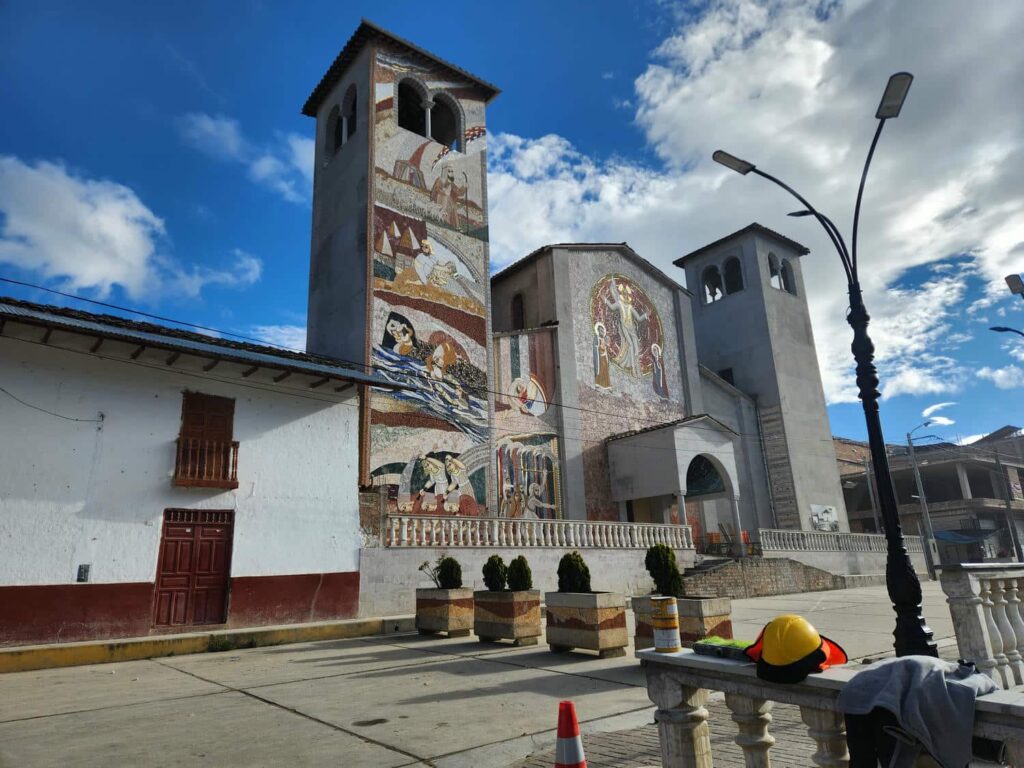
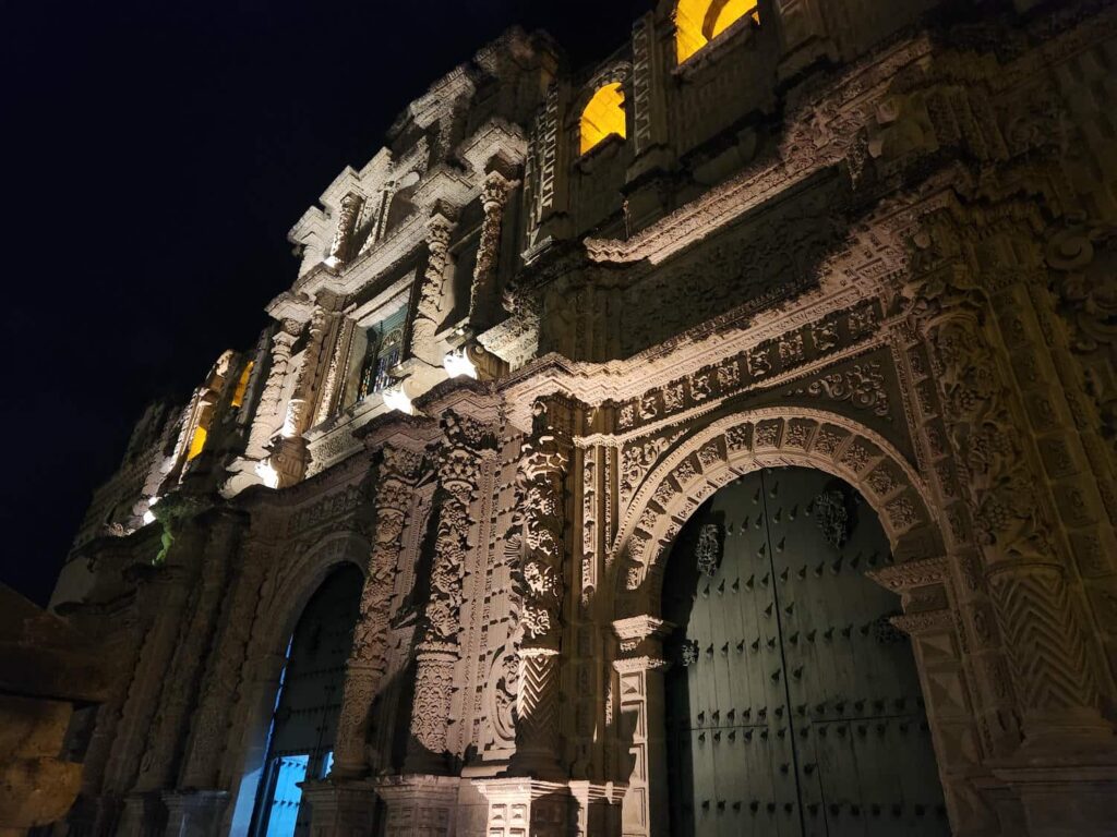
That mission completed much earlier than we thought, we drove down into the town of Cajamarca, the largest town we’d been in so far in Peru. It is very colonial, but it has a fascinating pre-colonial history. There are some hot springs that were possibly developed but certainly utilized by the Inca, and are still used today. More importantly, it is where the last vestiges of the Incan empire were defeated. The story goes that Francisco Pizarro, along with a young Hernando de Soto, visited the last Inca emperor while he was bathing at the hot springs. They invited him to some sort of event in downtown Cajamarca the next day, where they ambushed and massacred the emperor and all his guards. We didn’t stop on our first pass through Cajamarca, and drove straight through. The west end of the town stretches up in to the mountains, and the streets were incredibly steep! We made it through and continued climbing up the mountains to the west, switchbacking all the way. We eventually reached the archeological site of Cumbemayo, which was quite busy with tourist busses and such pulling in and out. We spent a few hours on a hike around the site, which has some very interesting rock formations- pillars of granite.
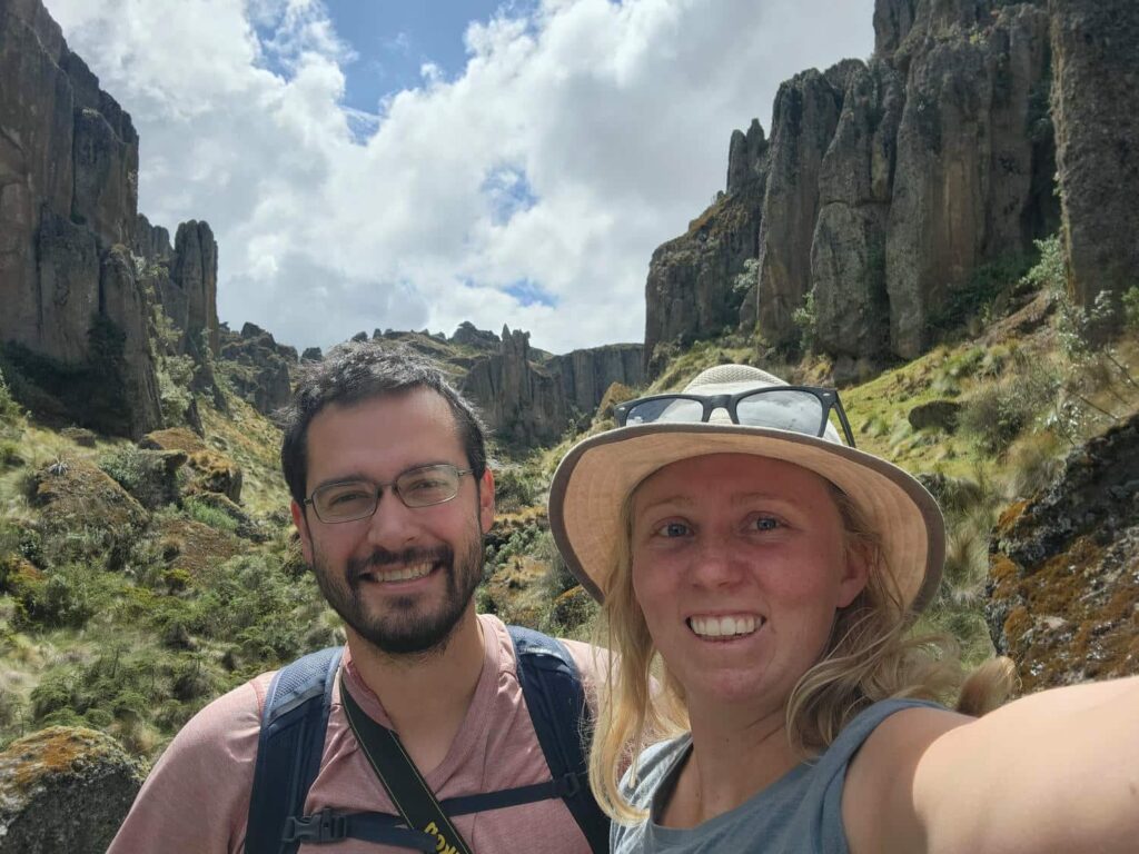
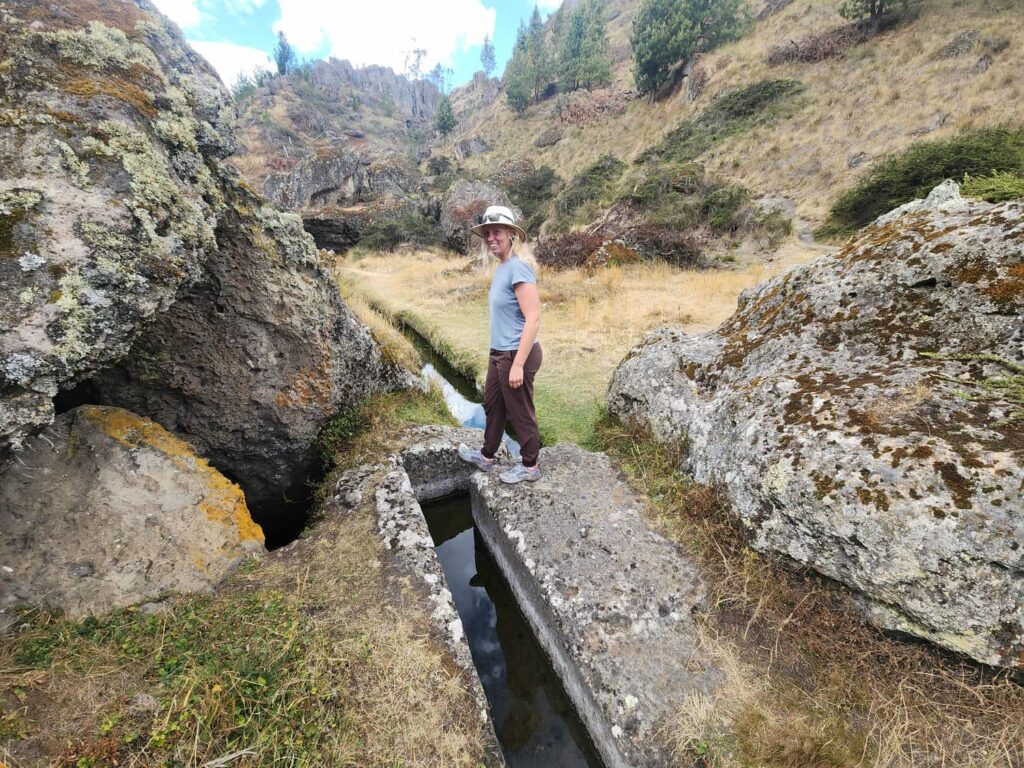
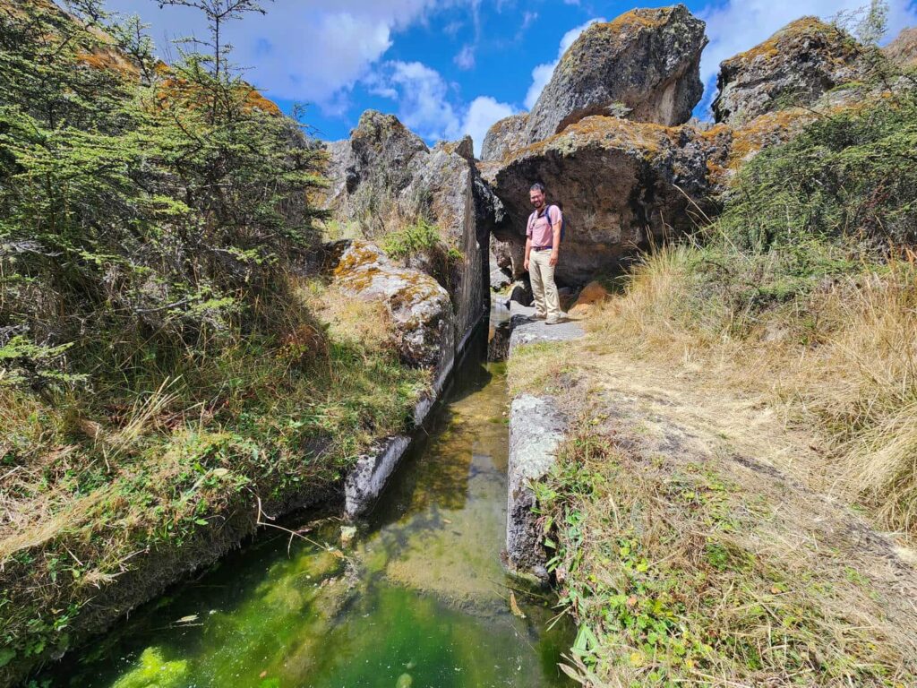
The real attraction, though, is the pre-Incan canal system. A canal was built to carry water from these high mountain valleys to some other slopes below for irrigation purposes. The canal is quite small, only perhaps 3 feet deep and 3 feet wide, but it is carved out of solid granite and stretches for thousands of feet, zig-zagging along the side of the valley to maintain the highest possible elevation while still draining. The canals are cut into the rock at 90 degree angles with shocking precision. It is unbelievable to think that some culture a thousand years ago had the technology to cut corners straight down into rock! The canals are physically unimposing, but as engineers, we were quite fascinated with how it was done.

We drove back into Cajamarca as the afternoon wore on. Traffic was much worse, and we spent a while getting through town to our destination, a small farm that offers camping, right near the center of town! It is family owned, and run mostly by the original farmer’s 5 daughters. The town really grew up around the farm, and they have resisted many offers to sell. They now host school groups, from kindergarten all the way up to college to teach people how to farm. They were so nice and welcoming, and were happy to show us around. After we got settled in, we walked back to the middle of town to a pizza place that David & Regula had recommended. The pizza was pretty good, and we had a nice “date” night out, even splurging on a desert of tiramisu, which I cannot resist. We took the “long” way on our walk back to the farm, seeing a couple of the larger churches and plazas. In one of the plazas, it must have been dance night- there were maybe 6 different groups who were all practicing synchronized dances! We enjoyed watching for a bit before we headed to bed. We left relatively early in the morning, preparing for a long drive day south.
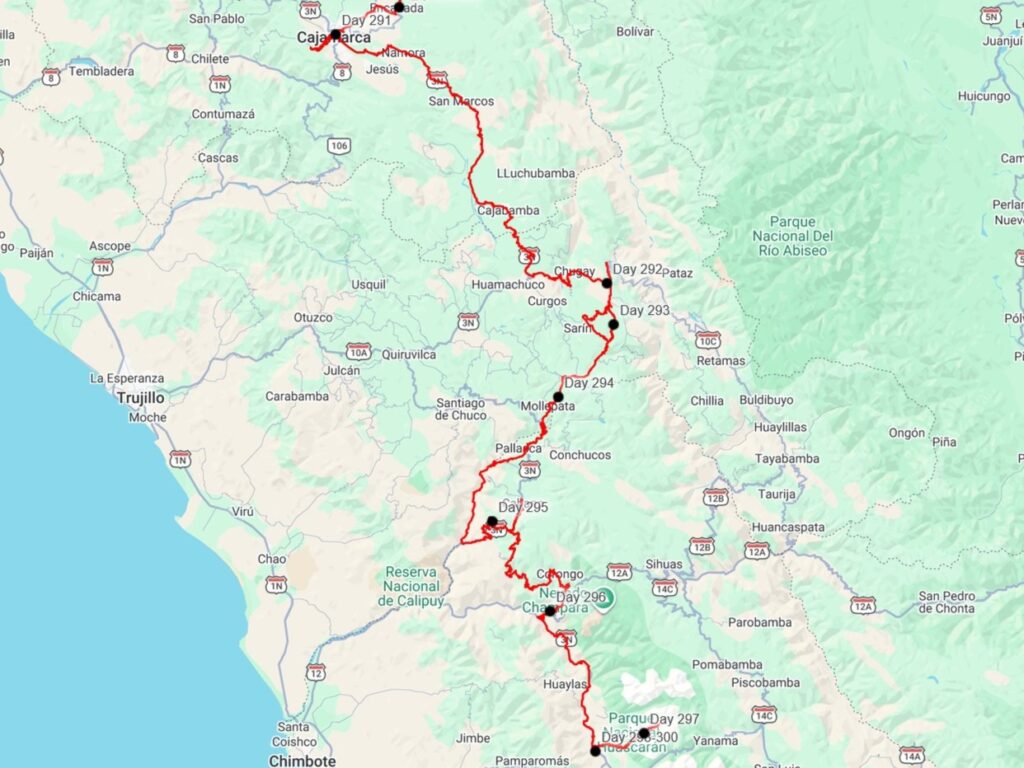
In the morning, we drove down out of Cajamarca, descending into another broad, dry valley. The road was in surprisingly good shape for a while, but deteriorated rapidly after the town of CAJABAMBA. We soon aired down, and would stay aired down for quite some time. We drove on the increasingly small mountain road further and further into the mountains. Most travelers go to the coast from Cajamarca and then go south, but we were determined to find a way straight through the mountains! It was a long, bumpy road through lots of farms and sheep herders. We did find a short bit of nice pavement heading east, which zig-zagged down a precarious mountain slope that seemed very unstable. I am fairly certain that the road would never have been built if it was in the U.S.- even though the pavement looked nice and new, there was already lots of rocks and gravel on the road from above, and parts of the road had already begun to slough off below. We crossed the bridge at the bottom of the valley and headed back up the other side. Here, the nice pavement disappeared at it was mostly broken pavement or dirt for the rest of the day. We zig-zagged up for what felt like hours, avoiding and passing the massive trucks also using the road. This area had a ton of eucalyptus trees, which were planted by the hundreds in rows, all in varying states of growth. The road continued to deteriorate, and several parts had massive broken sections of pavement. I was very surprised that all the trucks were able to make it through! We finally climbed out of the endless string of farms, sheep ranches, and little mountain towns, into a broad valley, with much more to climb still. We found a great spot, out of view of the road, in yet another gravel pit. They sure make good camp spots! It was chilly that night, but we were quite comfortable with our sleeping bag in the jeep. We’ve found that our tiny sleeping area on top of the jeep does have a big upside- it warms up quickly with just our body heat.
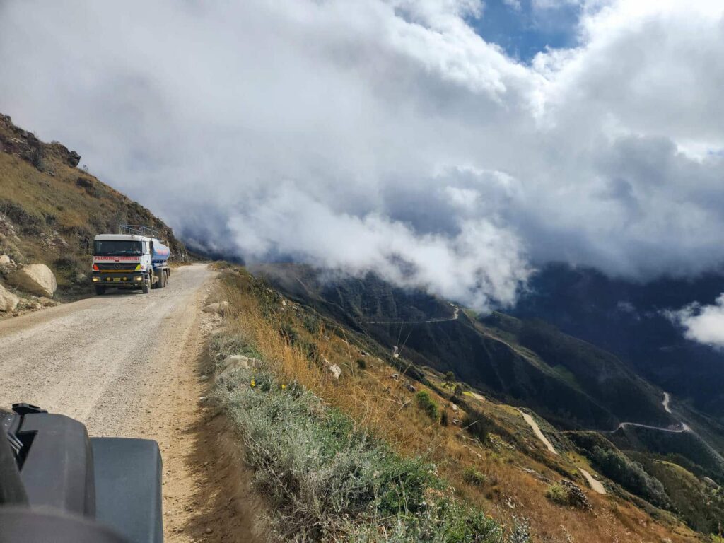
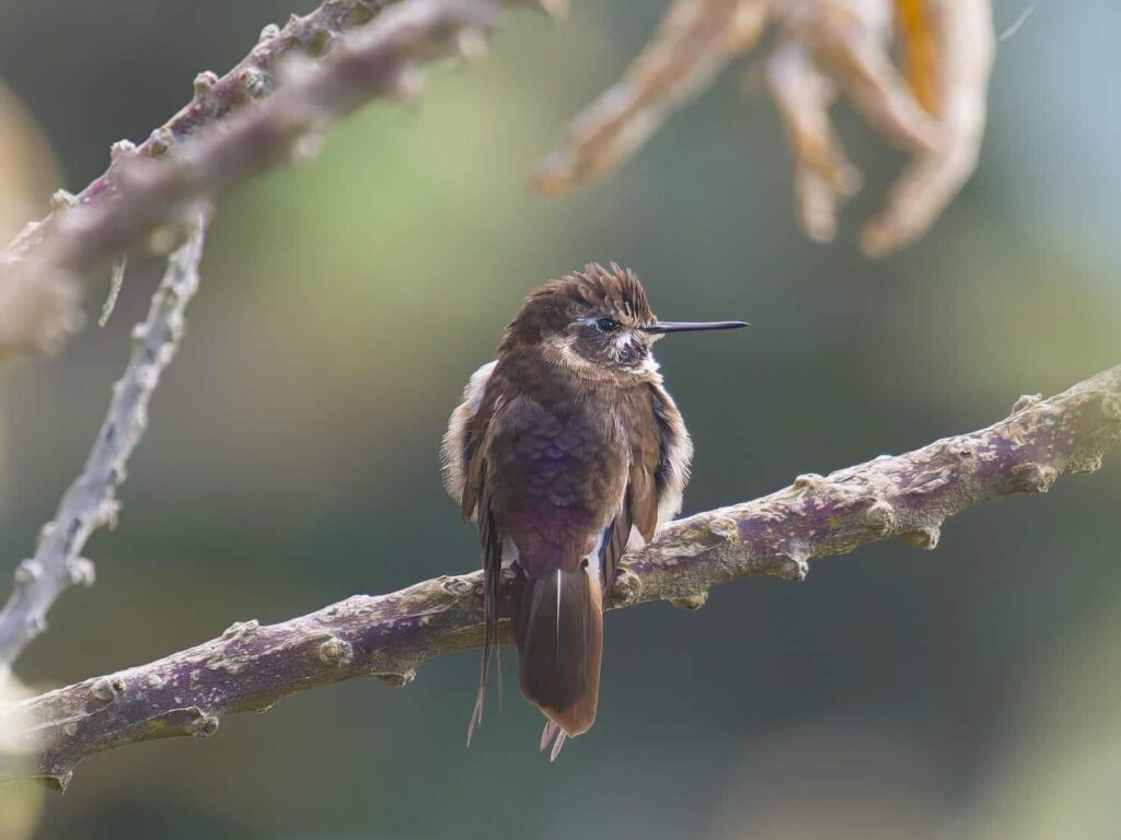
In the morning, we continued up the mountain, passing more sheep herds and some small farms. It seemed like an area of intense poverty- the buildings were made of mud bricks and roofed with clay shingles or tin sheets. We saw lots of kids leading sheep around- it is definitely the main economy here. We continued on the terrible road to the other side of the pass. We were going to descend much further down to find another hummingbird- the purple-backed sunbeam. As before, it is only found here, on the scrubby and arid ridges. Its habitat has been mostly erased by the eucalyptus farms, and it is estimated that fewer than 1000 birds remain. We stopped on the side of the road on the way down to take a bit of a break after the punishing and endless broken pavement, and were shocked to find one of the hummingbirds perched in a tree nearby! I got some quick pictures before it flew off, and we were very happy to not have to continue down the terrible road.
We backtracked back over the pass and turned off on a road that was near our campsite. We wanted to see if we could find a way from here back to the main road, instead of retracing our steps down the terrible road full of trucks. It also looked much more scenic, and much less steep! We drove through a high mountain valley, full of nothing but grass and rocks poking up here and there. It was a beautiful area, and the rocks had some crazy erosional patterns that we’d seen before in Colombia. I’m fairly certain that it is some sort of chemical erosion, but I’m not sure how the patterns were formed. It was still relatively early in the day, but we liked the area so much that we ended up picking a spot right next to a lake at only 2pm or so. Our long drive day yesterday and that morning had really worn us out- hours and hours of jostling around will do that! We set up our chairs and watched the ducks and geese on the lake swim around while we read and relaxed. It was a great afternoon. Late in the evening, the local sheep herders came by, with nearly a hundred sheep and goats! There were a few dogs along, but none of them seemed trained like sheepdogs- they were just happy to be out and running around.
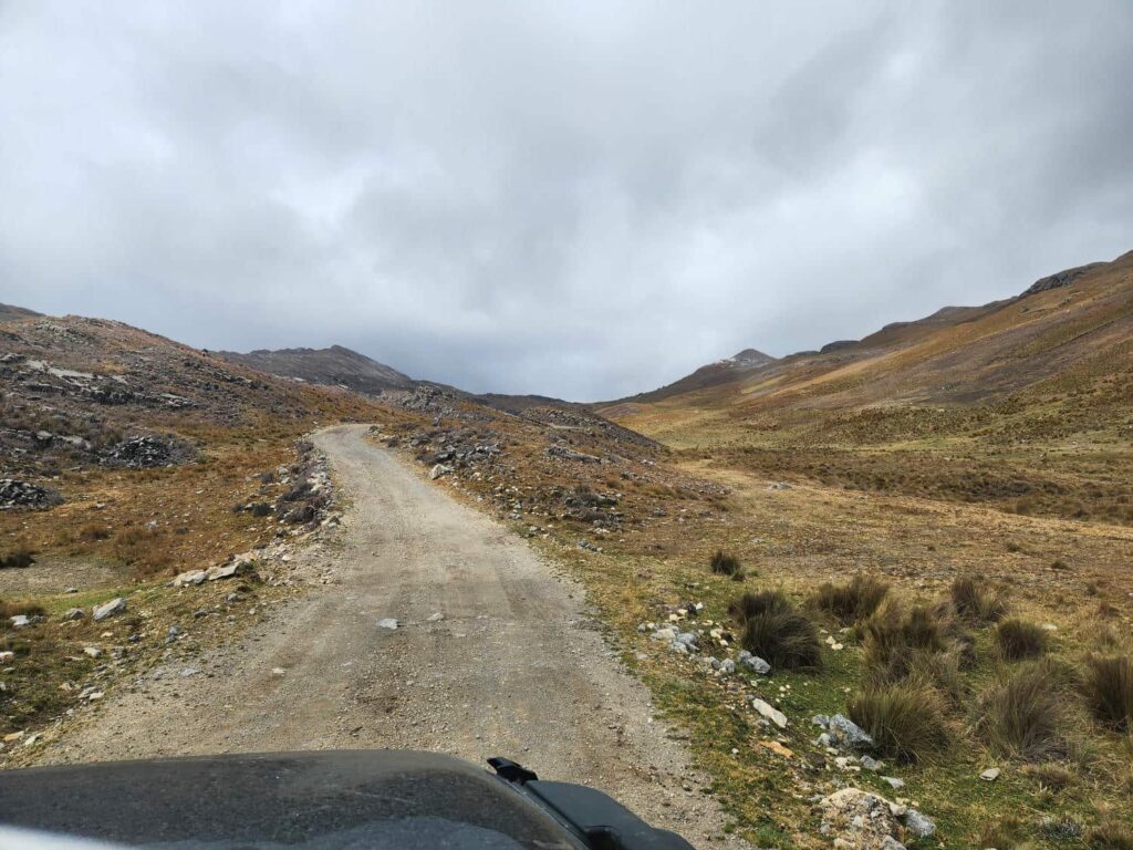
We continued down the small dirt road in the morning. At least it was flat, unlike the other road! We passed more sheep, and lots of fields ringed by stone walls, obviously piled up over years and years of picking rocks out of the fields every year. Just as we were about to drive down to a bridge which promised a crossing onto a larger road, and therefore better chances of us making it through, we were waved down by a local who told us the bridge was out. Drat! The only way around was to backtrack around an hour, and then try a different, longer road down to the other side of the bridge. We weren’t too sad to get to drive through the valley with the interesting rocks again, and then we turned off onto a different road, that seemed like it was in better shape.
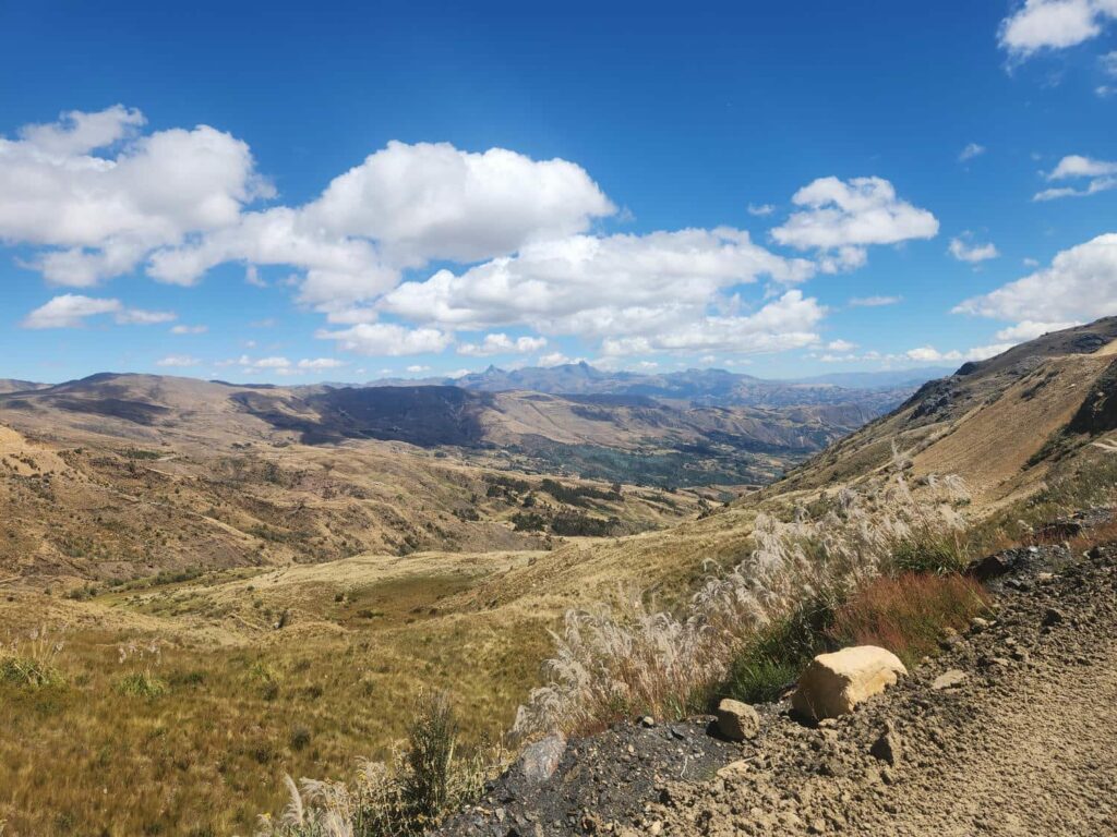
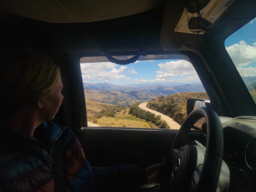
The road was a shelf road, high on the side of the valley, with incredible views down to the bottom. We then came to a fork in the road, and a difficult decision- do we take the lower road, which looked like it would take much longer, but looked much more well-traveled, or the upper road, which was much shorter, but less well-traveled? I was in an exploring mood, so we took the upper road. It was quite small, and looked like only motorbikes had passed through recently. Not a good sign! We kept pushing on, and made it past a few narrow sections where a creek had eroded away some of the road. Still, we continued on, and for a second it looked like the road was getting better- had we passed the worst? The answer was a resounding no- we soon came to a sandy landslide across the road. It looked ok, so we pushed through it, and kept moving on. Then there was another one- and another one. Soon we came to the reason the road was no long really a “thru” road- a huge landslide had taken out the old road, and a new one had been put in higher up, but that one was also quite narrow and in danger of collapsing. We inched forward, seeing if we would fit and how bad the little piles of sand and rock on the path would be. In the end we made it through, but it was a bit touch-and-go! I probably wouldn’t go back that way, but it was fun to finally have a “dead-end” road go through- we’ve been turned around by quite a few.
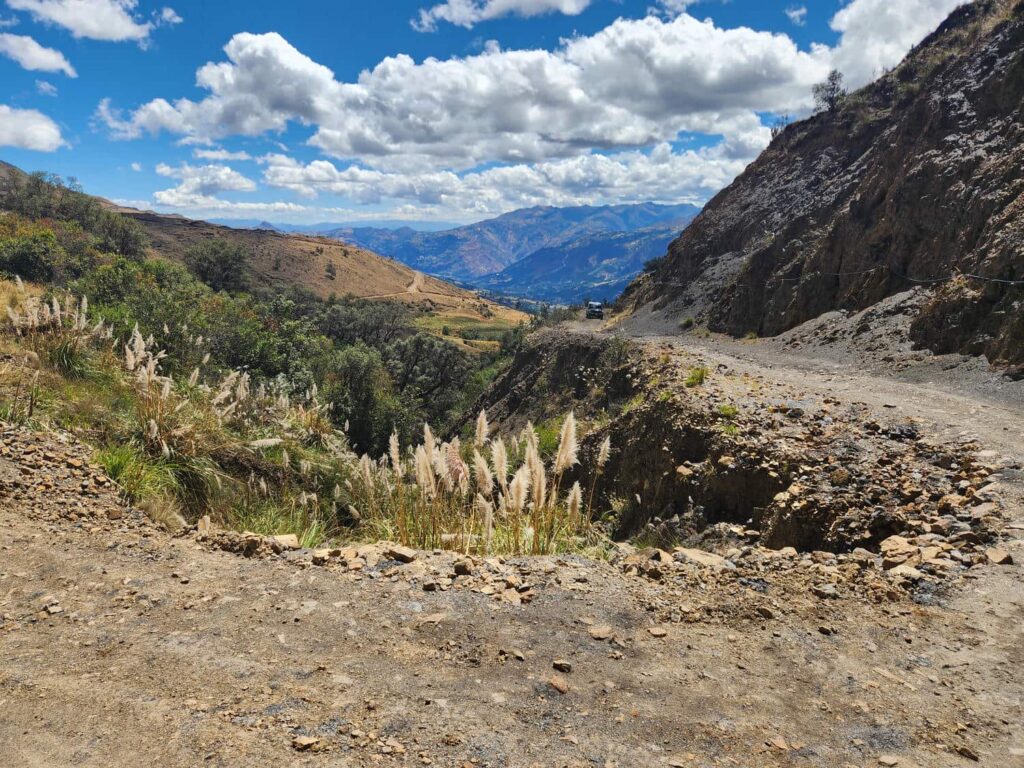
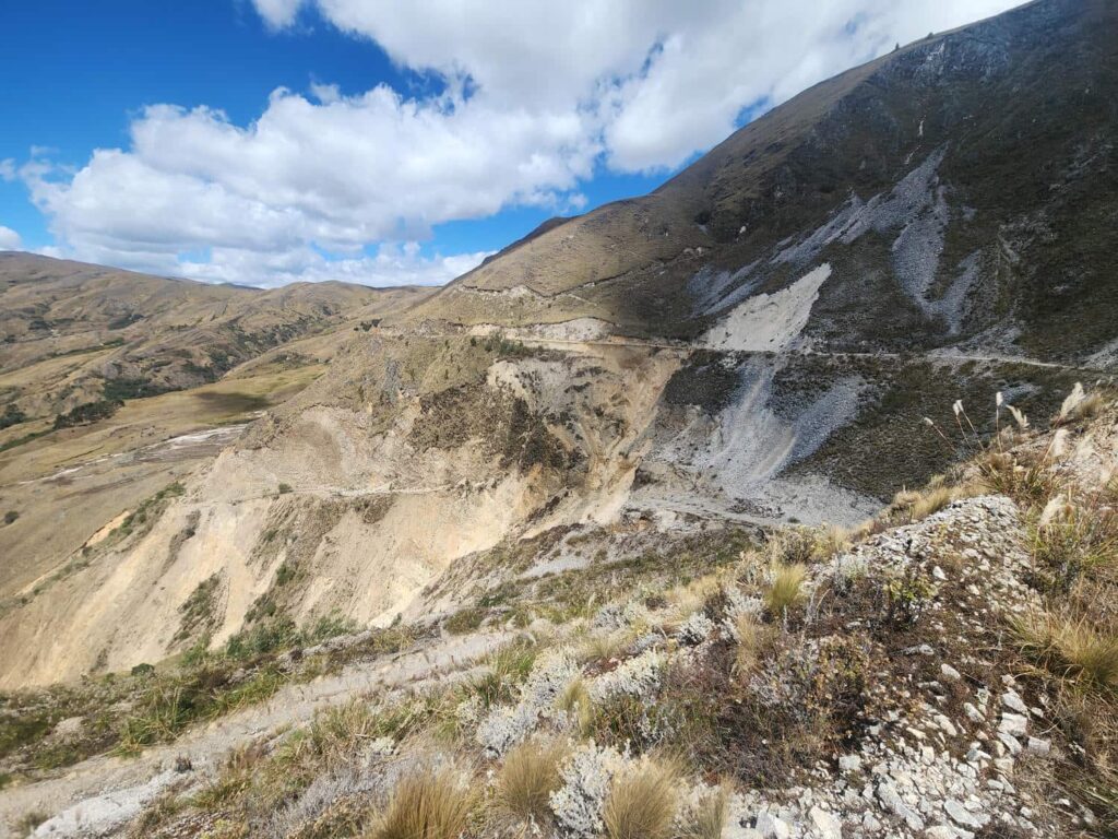
Past the bad section, we met up with another dirt road that was in much better condition, and after descending down the valley a bit, we began to see vehicles coming up- a great sign! We were again in a beautiful, high, grassy valley, surrounded by rocky slopes on both sides. We successfully made it down to the other side of the failed bridge, and into the small town. Then it was right back up again, switchbacking to the top of the ridge with some archeological ruins on the top of it, then back down into the next valley over. There really don’t seem to be any flat, straight roads within miles and miles of us. We then passed through another higher mountain pass area, with lots and lots of mining activity- there were little adits into the cliffs everywhere, and each seemed to be owned by a different person. After working in the mining industry in Alaska for a bit, especially having to do with claim staking and mineral rights, I’m quite curious how it works here! After trundling along another high grassy area, we stopped at a turnoff to head down a valley to the town of Mollepata. We always play a little game every night where we guess what our elevation is, and sometimes also at mountain passes or when crossing rivers between mountain passes. We each guessed that we were around 10,000ft at this pass- and were shocked to see on our GPS that we were actually well over 14,000ft! The Andes are something else.
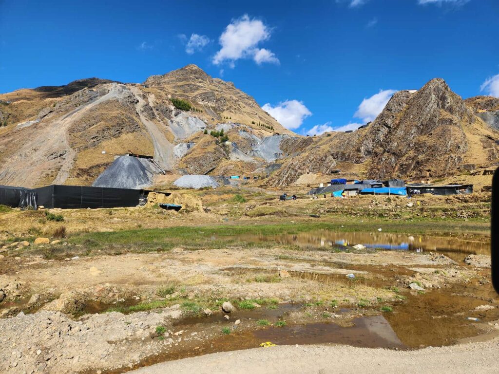
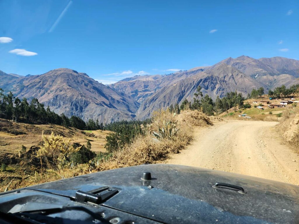
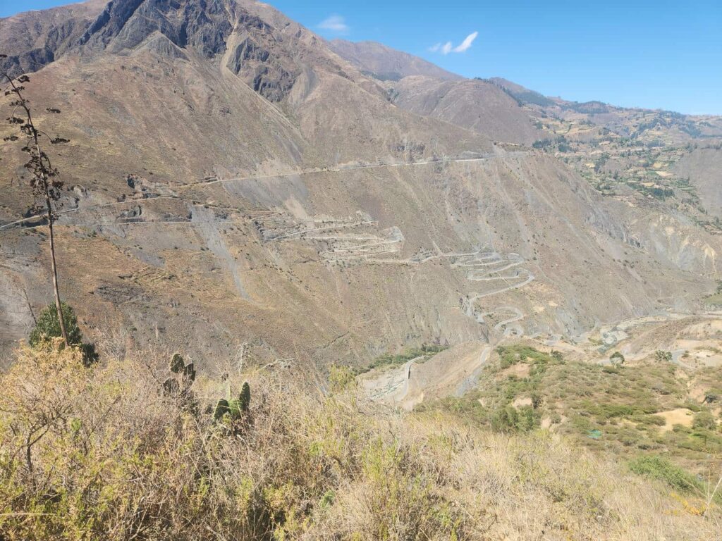
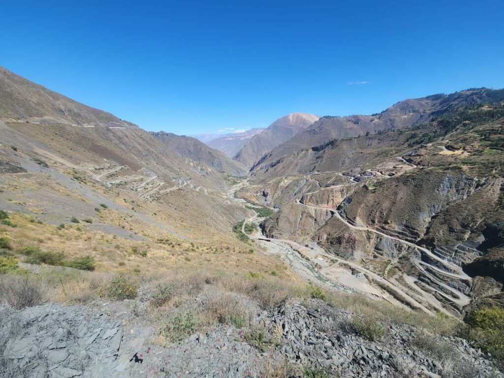
We found a wide field that had probably been used as a construction yard when building the road, which was in fantastic shape, and had a good night’s rest there. In the morning, we would rejoin Peru’s highway 3N, which on Google Maps looks like it is a major thoroughfare going north/south through the entire country, but it is barely a dirt road in some places. The 3N switchbacked down and down to a major river, but the road was quite strange. The straightaways in between the switchbacks were perfectly paved, two lanes, even with a stripe down the middle, but the turns were unpaved, one lane, and nearly required 4wd! It wasn’t like there had been landslides that covered the switchbacks- they had literally just paved and striped the straight sections and left the corners undone, for probably 20 switchbacks down on one side of the river and another 20 up the other side. It was so bizarre to see.
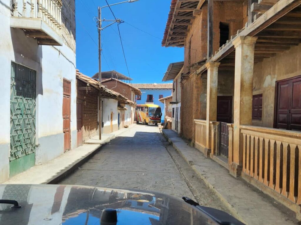
At the top of the south side of the river was the village of Pallasca, full of buildings built with large mud bricks, which were now ubiquitous in the mountain towns we were driving through. We turned off the 3N here, and made our way through a tight street, guided by Google Maps. We’re never sure if the way that Maps takes us is the “right” way through town- in this case especially, the road we were taken on was tiny! It did take us to the city square, so we knew we could at least get out of there. We continued another block or two past the city square and encountered a massive double decker bus, reversing down the tight city streets! The bus managed to make it around several corners before turning around with inches to spare on an open piece of land. By the way the driver skillfully maneuvered out of town, we were pretty sure it wasn’t his first time doing this- in fact, after thinking about it, we think that this is the “normal” way that the bus stop in Pallasca works. After passing through town, we saw many other busses coming up the hill towards town, with nowhere else to turn off to get to the center. It seemed ludicrous that this was the normal way of doing things, but people here seem to make things work in amazing ways.
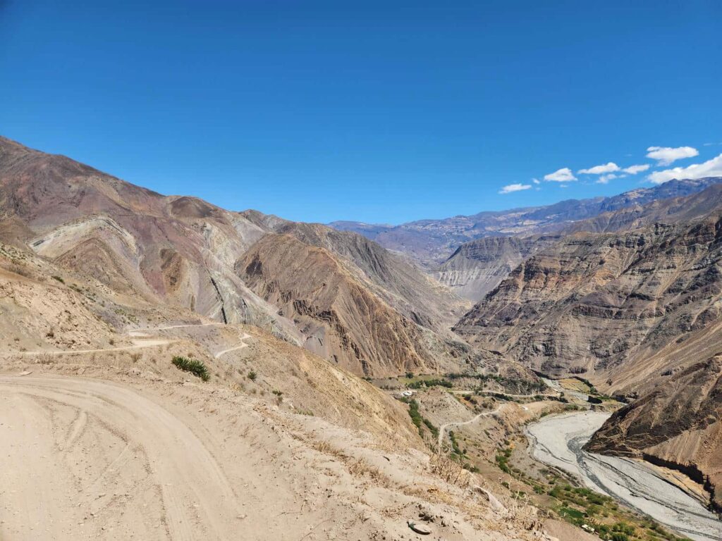
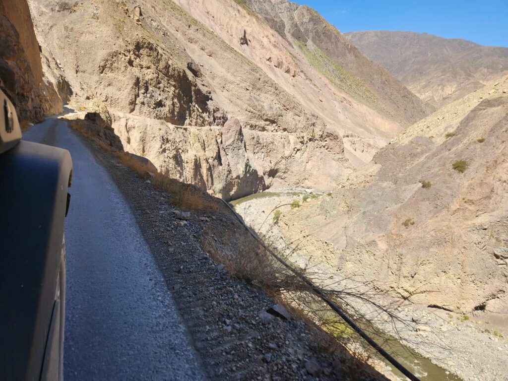
Past Pallasca, we drove down through several Eucalyptus tree farms on a narrow shelf road, often having to wait at a wide area to let a larger vehicle past. As we descended, the vegetation disappeared gradually until we were well and truly in the desert, continuing to switchback down on the shelf road. For nearly 2 hours, we descended to the bottom of the valley, dropping from 10,000ft at Pallasca to 5,000ft at the river. We followed the canyon down, with the shelf road now perched above the river, still having to stop to let other vehicles past. Just as the valley began to widen a bit, we arrived at La Galgada, an archeological ruin and the reason we’d come down from the 3N. It was a collection of buildings, perhaps 50ft tall at the tallest point, in the rough shape of a pyramid.
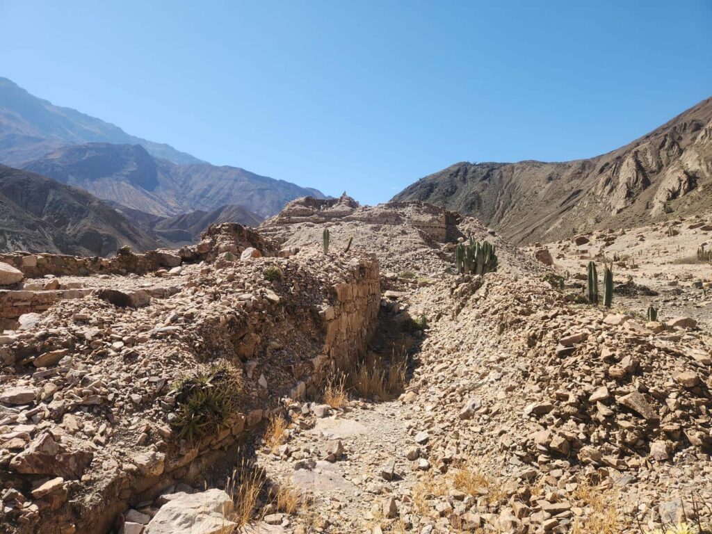
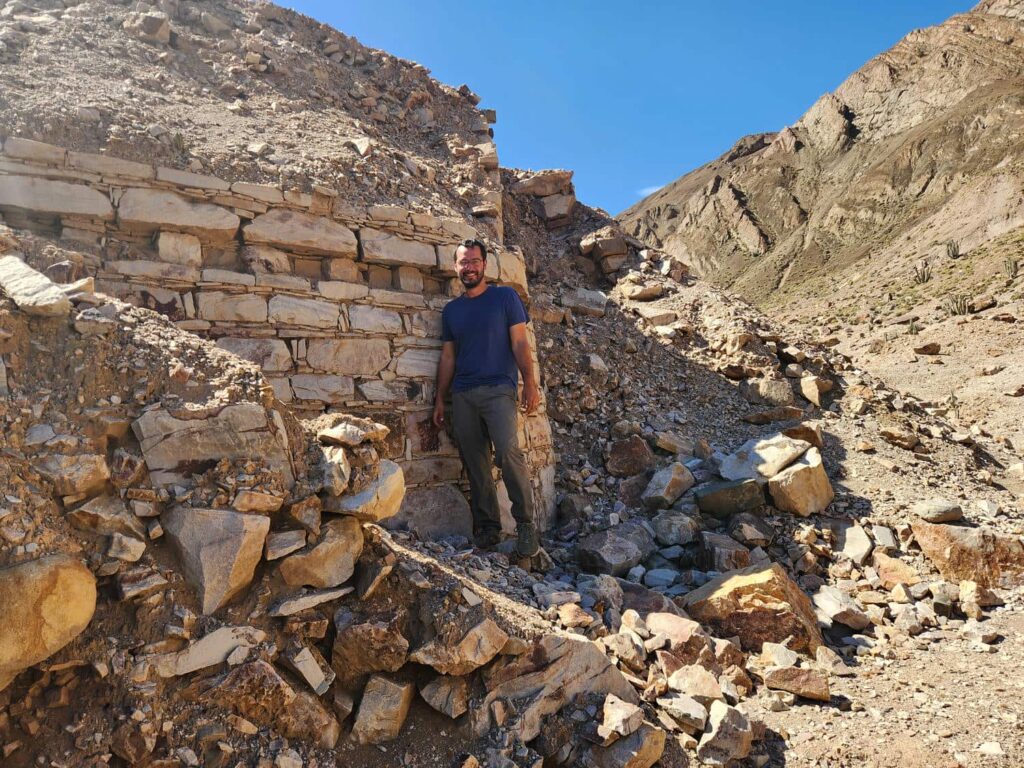
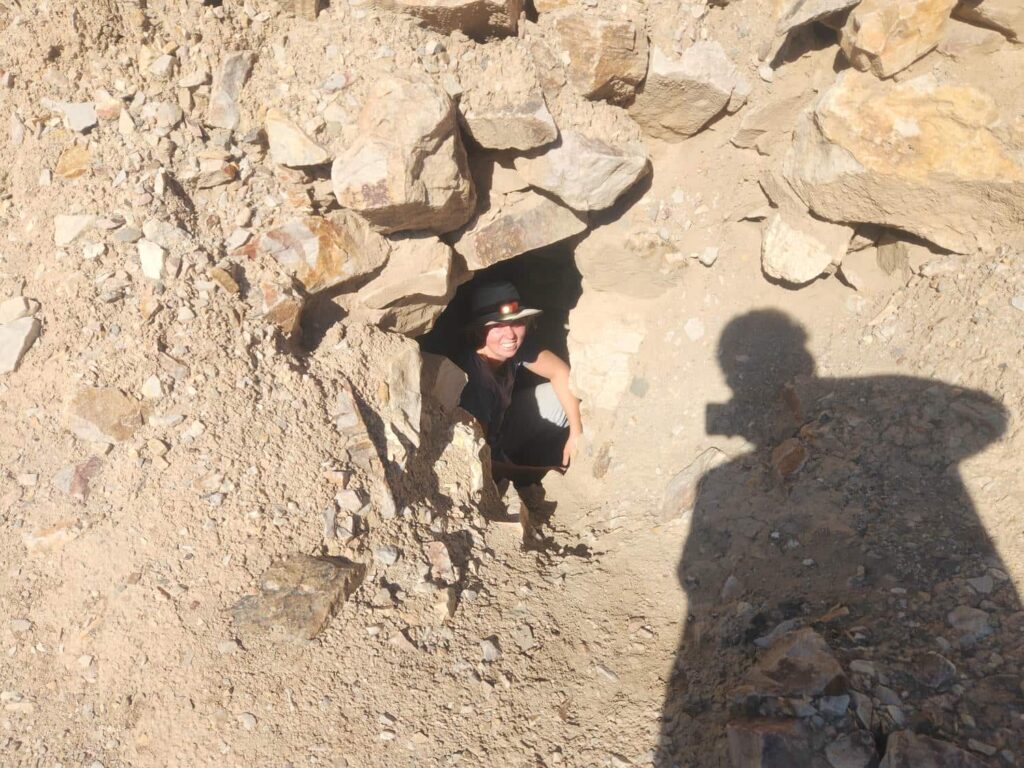
There were several passages into the structure which we explored a little bit, but it gets pretty spooky when you know that there are tons of rock above your head, just waiting to come down! Later reading revealed that the site is between 4000 and 5000 years old- pretty incredible for the New World! It is amazing to us how the site is a bit unknown, and right on the side of the road, with only a small sign advertising it. There is no gate or attendant, and we had the whole site to ourselves. What a contrast to the busy and expensive Mayan sites in Mexico and Belize!
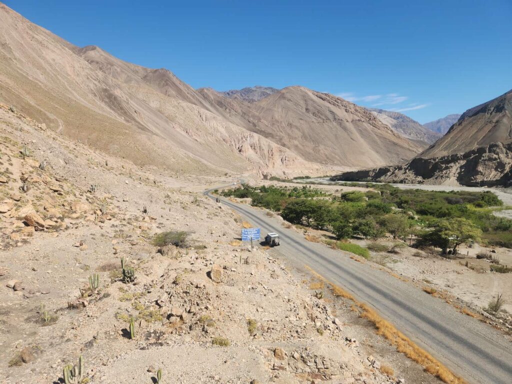
Back on the road, we soon reached a fork which took us back up the canyon, this time on a nicely paved road. We passed an abandoned mining town as we climbed higher and higher, finally camping at a great spot off the end of one of the many switchbacks. We had a gorgeous view out over the canyon, and were treated to some spectacular twinkling lights of villages on the other side of the canyon as darkness fell. In the morning, we had a bit of a decision to make. We hadn’t filled up with gas since Cajamarca, 5 days ago, and we’d been driving quite a lot. Thankfully, the jeep gets pretty decent fuel milage at the very low speeds we’d been driving at, and with our extra tanks we can go quite a ways. Our decision was to make an hour-long detour back north on the 3N to a gas station, or to continue south and hope we make it to the next one. We decided to backtrack a bit, and after rejoining the 3N at Tauca, drove north to refuel in Cabana. We passed through more of the famous “3N switchbacks” where the straights were nice and paved and the turns were not- quite curious how that engineering decision-making went down! We filled up at the tiny gas station where the attendant had to call a friend to unlock the pumps- and then they only took cash, no card! Thankfully we had enough. All gassed up and ready for the long drive south, we retraced our steps to Tauca. As we passed through town on a road high above the main square, we were able to look down and see a big celebration going on- dancing, music, a parade, and more. It was July 28th, the day before Peru’s Independence Day, and we assume that was what the party was about!
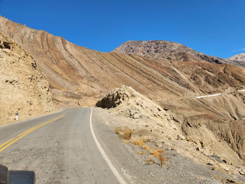

Past Tauca, it was clear that the road was very seldom used. It was really just a two-track, but it was a crazy shelf road! For once we were thankful to see other cars coming the other way, because that meant that the road went through, at least for a little bit further. The views were immaculate, but it was absolutely necessary for the driver to stay focused on the road. Because of this, we took turns driving as the hours wore on. We passed through several tiny villages, which could certainly only be accessed by smaller commercial trucks like Hiluxes instead of the normal box trucks. It was honestly a really exhausting drive, especially this being day 5 in a row of driving almost nothing but shelf roads.

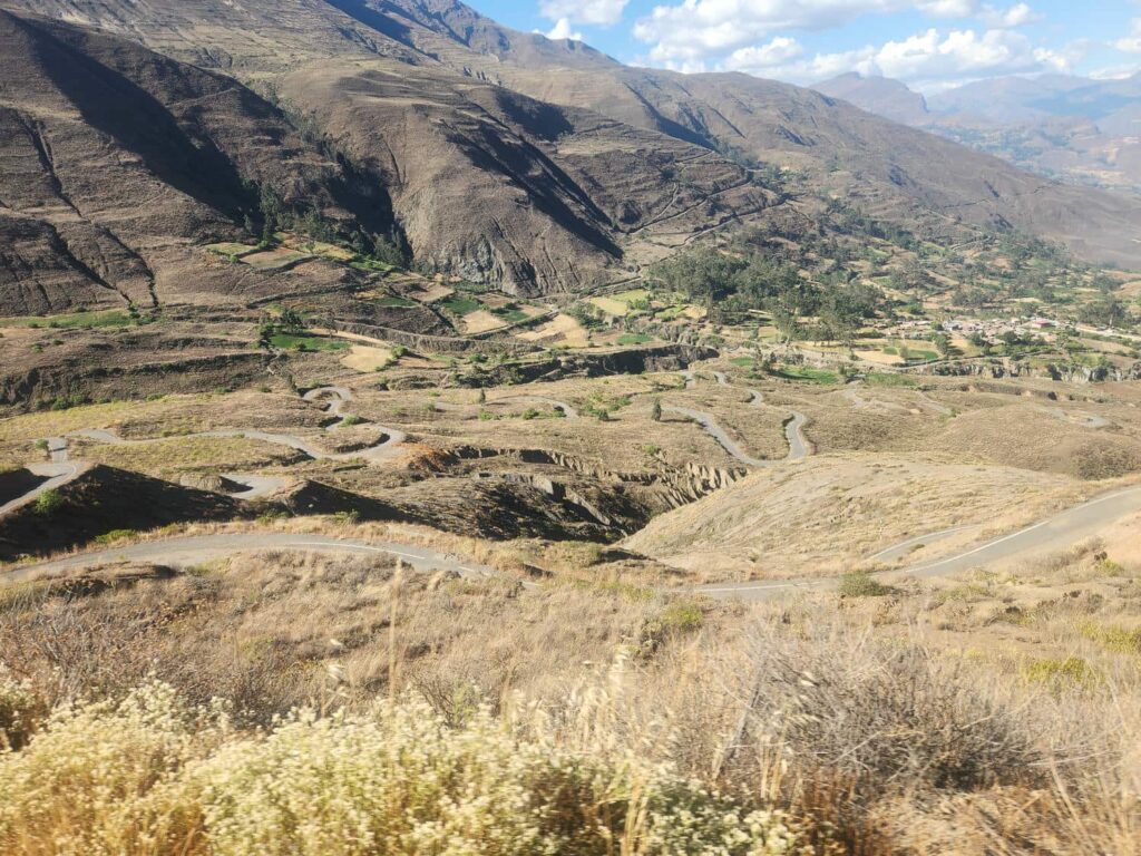
We crossed ridge after ridge, valley after valley, climbing up and down the whole time. The roads were the narrowest of the trip so far- barely enough room for the jeep to teeter along the edge. It took all day, but we finally reached Atacara Hot Springs, a small hot spring a few hundred yards from the road. It was a developed spring, and I’m sure well known to the locals, but it was perfect to hop in and soak for a bit after a stressful few days of driving. Better yet, it was completely free! The benefits of being so far off the tourist path, I guess- only locals come here! We thought about staying the night in the parking area for the springs, but there were quite a few people there, and we didn’t want to be woken up early in the morning. We continued on as dusk fell. Thankfully, the road was much improved past the hot springs, and after another hour, we found a great spot in a gravel pit a few hundred yards from the road with an incredible view of the canyon below.
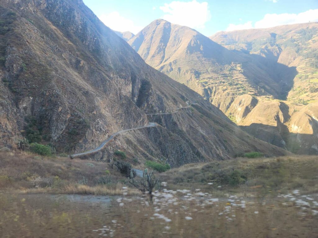
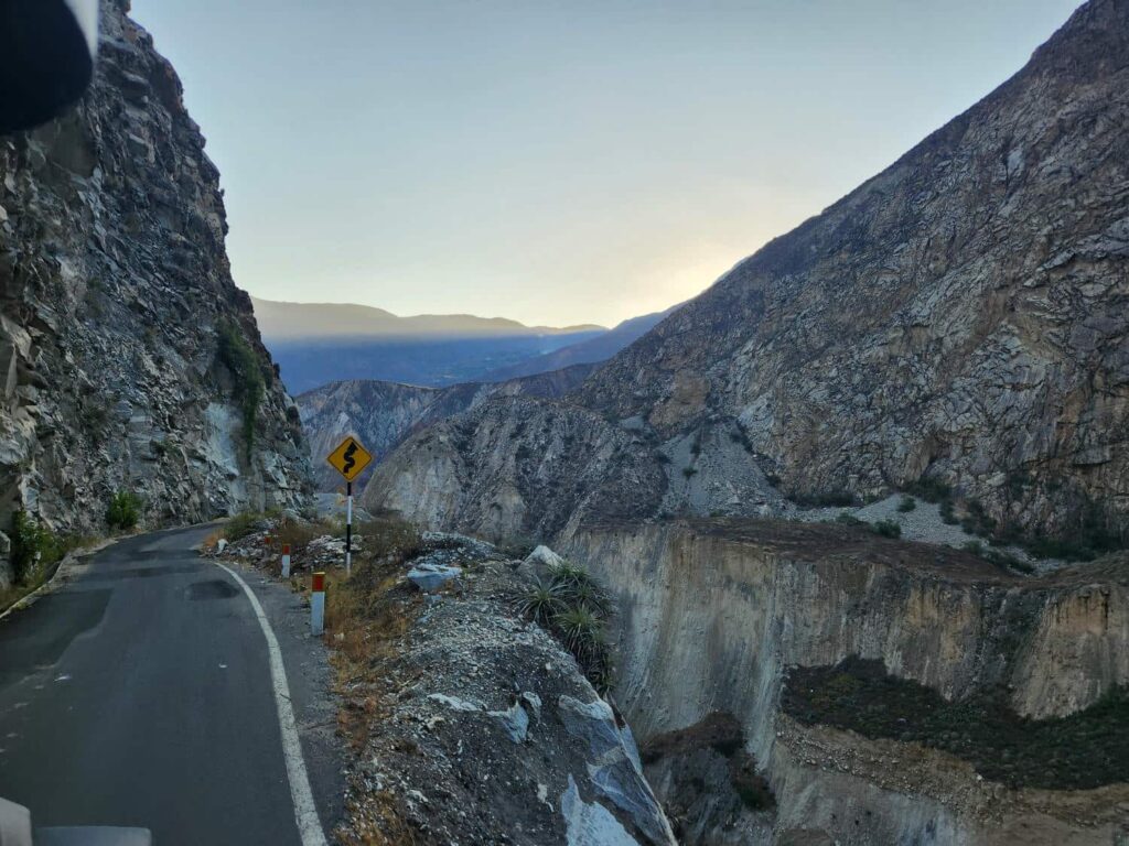
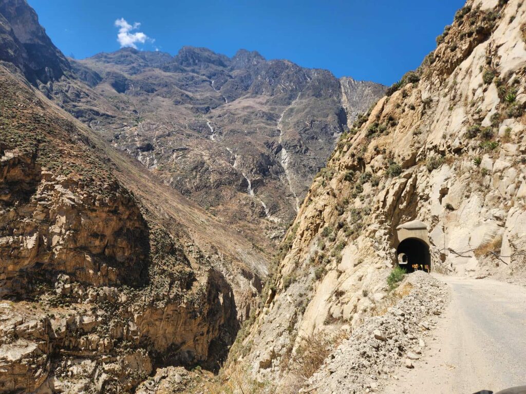
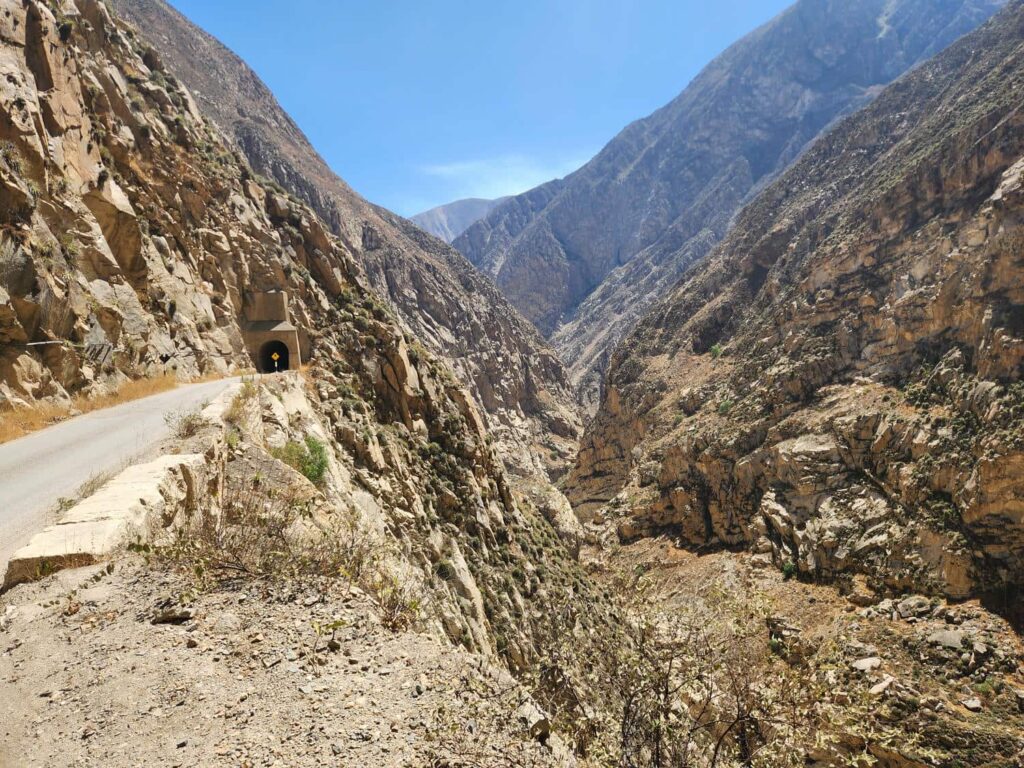
The next morning, we descended down endless switchbacks to the canyon bottom. At one point, several trucks were coming up the hill and we were behind several trucks going down the hill, and there wasn’t enough room to get by. We ended up having to back up the road a few hundred yards, along with the other trucks, to find a wide enough spot for everyone to get by. I was surprised at how cordial it all was- everyone knew what to do, and no one got frustrated or upset. It was just normal daily life on these crazy roads! We were glad to hit pavement again at the valley floor- our first real pavement in days. We drove up the dry valley, passing a few forgotten villages, as well as a few new-looking mines. After around an hour, we arrived at Huallanca, a town centered around a small hydroelectric plant. This was the start of the famed “Canon del Pato”, a crazy road with 34 tunnels perched on the side of a narrow canyon.


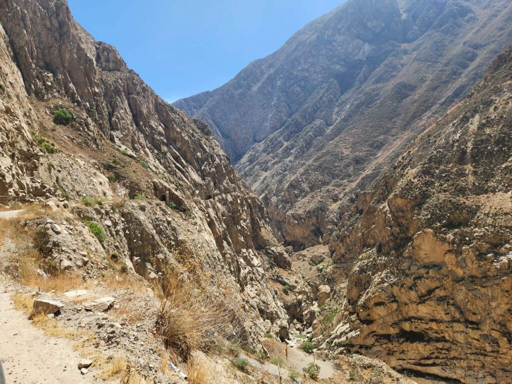
All the tunnels are packed in to only around 7 miles. None of the tunnels are wide enough for two-lane traffic- if you meet another vehicle in the middle of one, someone will have to back up! The road itself is only wide enough for two vehicles every few hundred feet or so. It is an absolutely crazy road, and many people with larger vehicles decide not to do it, but even small semi trucks make it through. We met one in a tunnel, and it sure wasn’t going to be him that had to back up- we had to back a few hundred feet through the tunnel, and then scootch off to the edge of the canyon cliff to let him by, with only inches to spare. After our days of driving on crazy shelf roads, it honestly wasn’t that bad, but the tunnels made things quite interesting.
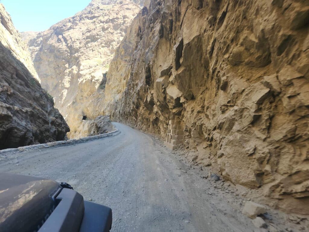
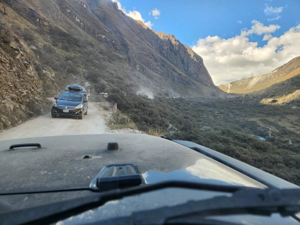
The valley, which had been nearly a thousand feet deep and only a few hundred feet wide at the beginning, had widened out to a “normal” canyon by the time we finished the tunnels. We drove up the meandering valley as we gazed at snowcapped mountains to our east- the Cordillera Blanca, or White Mountains. I’d dreamed of exploring these mountains for years, and now we were finally here. We drove straight through Caraz, the first major town we’d been through since Cajamarca 6 days ago, and on up into the mountains. We zig-zagged up through some farming and ranching land, rapidly climbing higher and higher. We encountered a group of vans heading down the road, and pulled off to let them by. Following the vans was a small sedan, who stopped and in rapid-fire Spanish, told us that the road was horrible, terrible, and that we should turn around. We didn’t understand everything he was saying, but he seemed pretty shaken up. Whenever someone tells us the road is bad, we can’t help but go find out why! The road eventually led to a narrow canyon, and Google Maps showed about 30 switchbacks heading on up. We’d noticed a few collectivo (taxi) vans headed down, but as we drove up further and further, more and more were coming down! Just like Canon del Pato, the road was only wide enough for two vehicles to pass about 10% of the time. We pulled of the road for van after van headed down road, as we slowly made our way upstream against the opposing traffic. The scenery was spectacular as we climbed through a narrow canyon into a massive broad valley, with glaciers visible in the high valleys above us. We rose above treeline, and saw the source of all the vans- well over a hundred of them parked along the side of the road, with people slowly trickling down to them for a ride back to town. We were at Laguna Paron, which I knew was a popular tourist destination, but not this popular! After nearly two hours of swimming upstream against the hordes of collectivo vans, we made it to the parking lot for the lake. We now knew why there were so many people here- we’d forgotten that it was Peru’s independence day! There was a huge party going up there, with dancing, live music, traditional costumes, and food vendors. We were lucky to find a small parking spot in the tiny flat area which served as a parking lot. The view was gorgeous- it looked a lot like Lake Louise in Banff National Park in Canada. It was a bit disappointing to see how much trash and refuse there was around. We saw lots of people just tossing down their empty soda bottles or food wrappers.
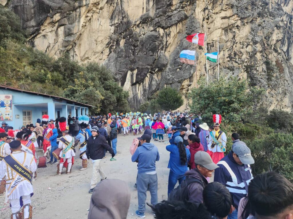
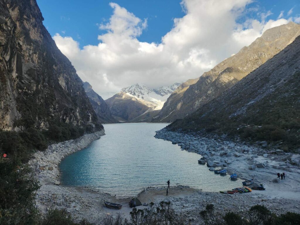
We wandered around a little bit, watching the dancing and music, but retreated back to the jeep when the brass band finished up and they brought out some huge speakers. We mostly sat in the jeep for the next few hours, until after it got dark, we were surprised by one of the park rangers knocking on the door. He was absolutely plastered from a night of drinking and partying, but super friendly and talkative. He said that we were absolutely welcome to camp here, as he exhaled his beer breath into my face. We finally got rid of him, and when the parking lot had emptied out an hour or so later, we popped the top and went to sleep. We woke up early that morning, planning on hiking to the other side of the lake and beyond. It was frigid- there was frost all over the jeep. The parking lot looked much different than it had the night before- everyone had left, and there were just piles of trash all around. We walked past them and onto the trail. We hiked up the valley on a trail that was very much like the roads- perched on the edge of the valley wall. I had thought that the trail was quite popular, but as with many national parks in the U.S., not a whole lot of people seem to go past the viewpoints that you can drive to.
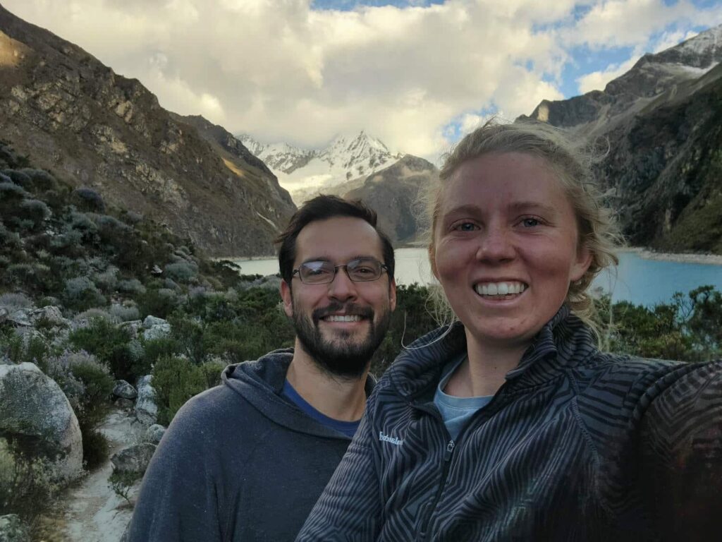
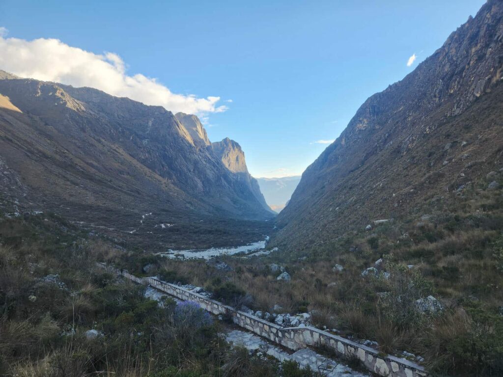
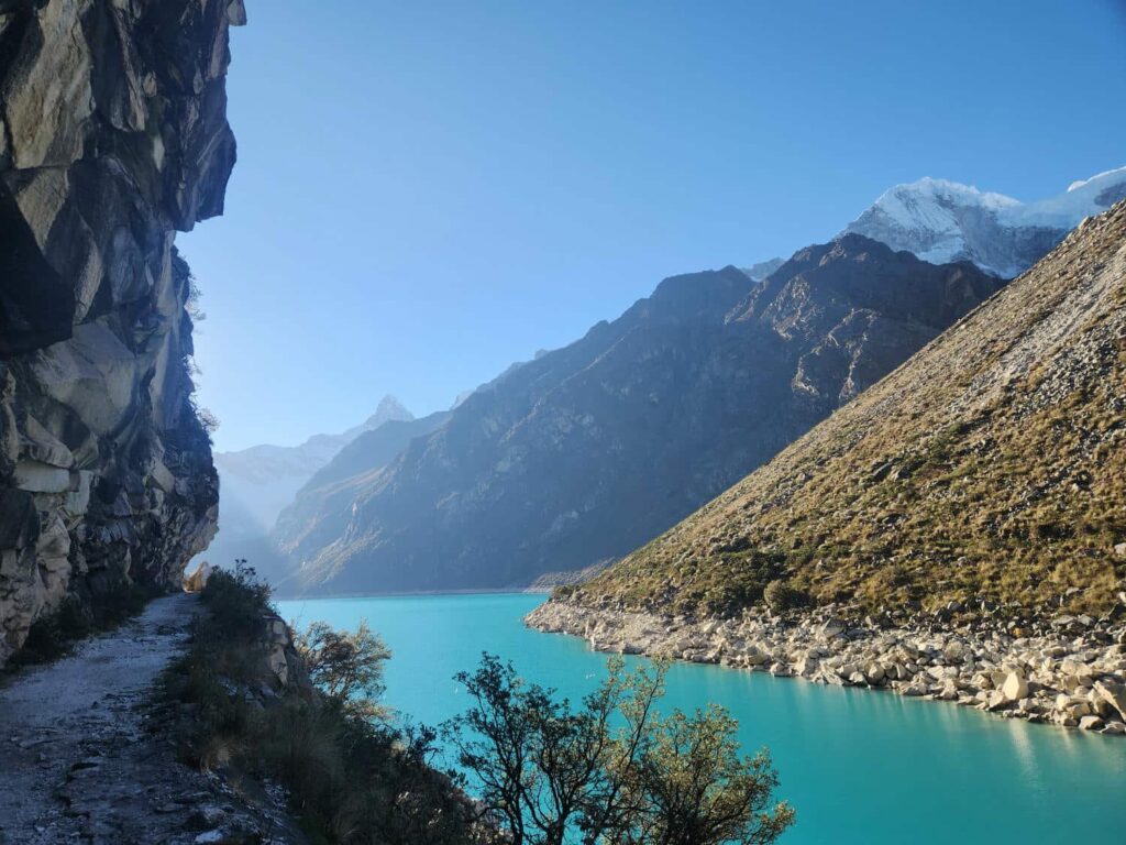
The trail rapidly deteriorated into just a narrow footpath, and disappeared entirely at times. We made our way along the lake, with the stunning views getting better and better. After bypassing a section of trail that had disappeared in a landslide by going much higher up the valley slopes, we made it to the head of the lake. Glaciers and snowcapped mountains were all around us. There were two more lakes further up the valley- we decided to continue hiking to the first of them, but not the second. We passed a small memorial to a Polish climber who had died on one of the surrounding mountains- this mountain range and the Cordillera Huayhuash just to our south are quite deadly to those who venture to the 20,000ft+ summits.
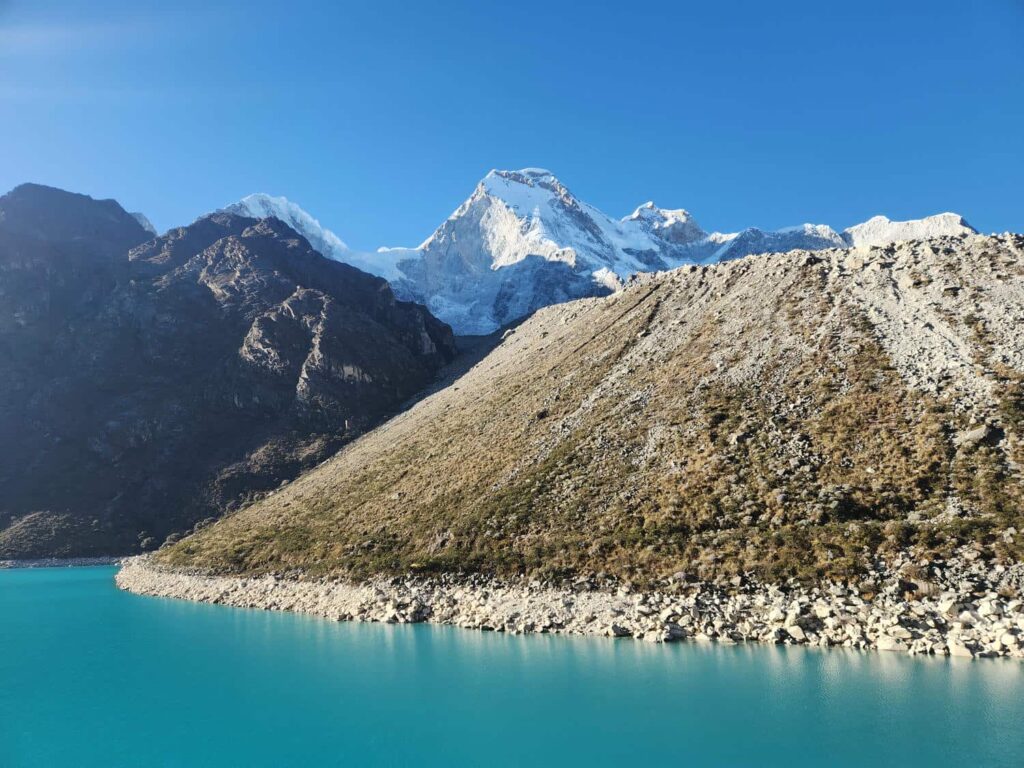
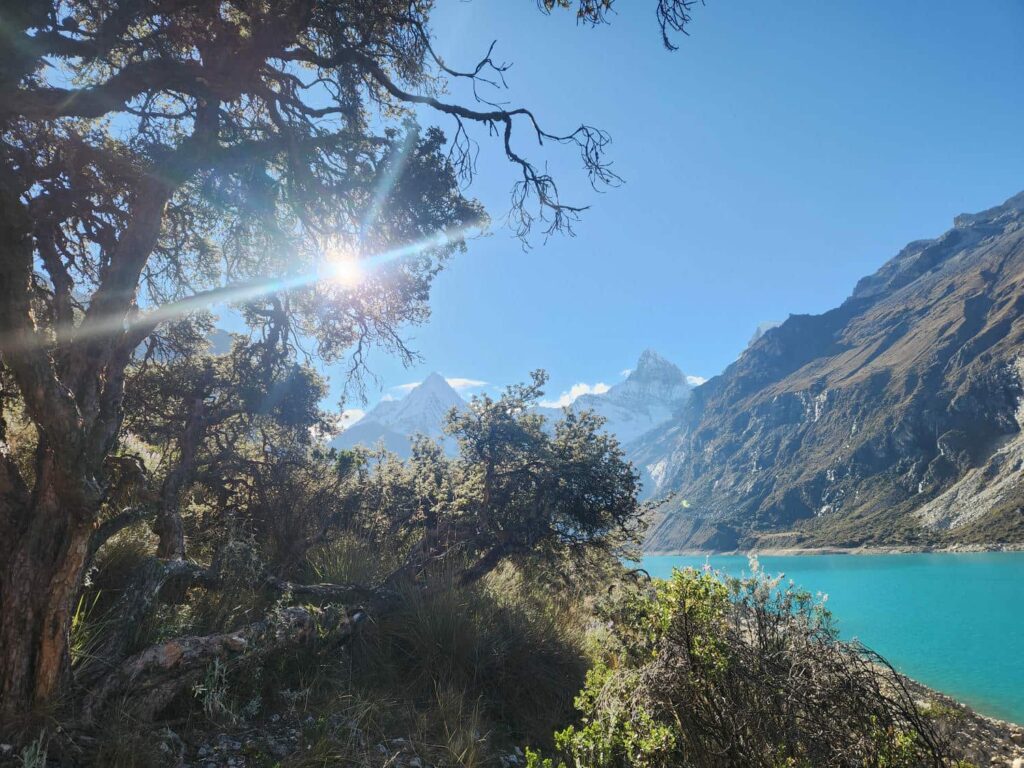
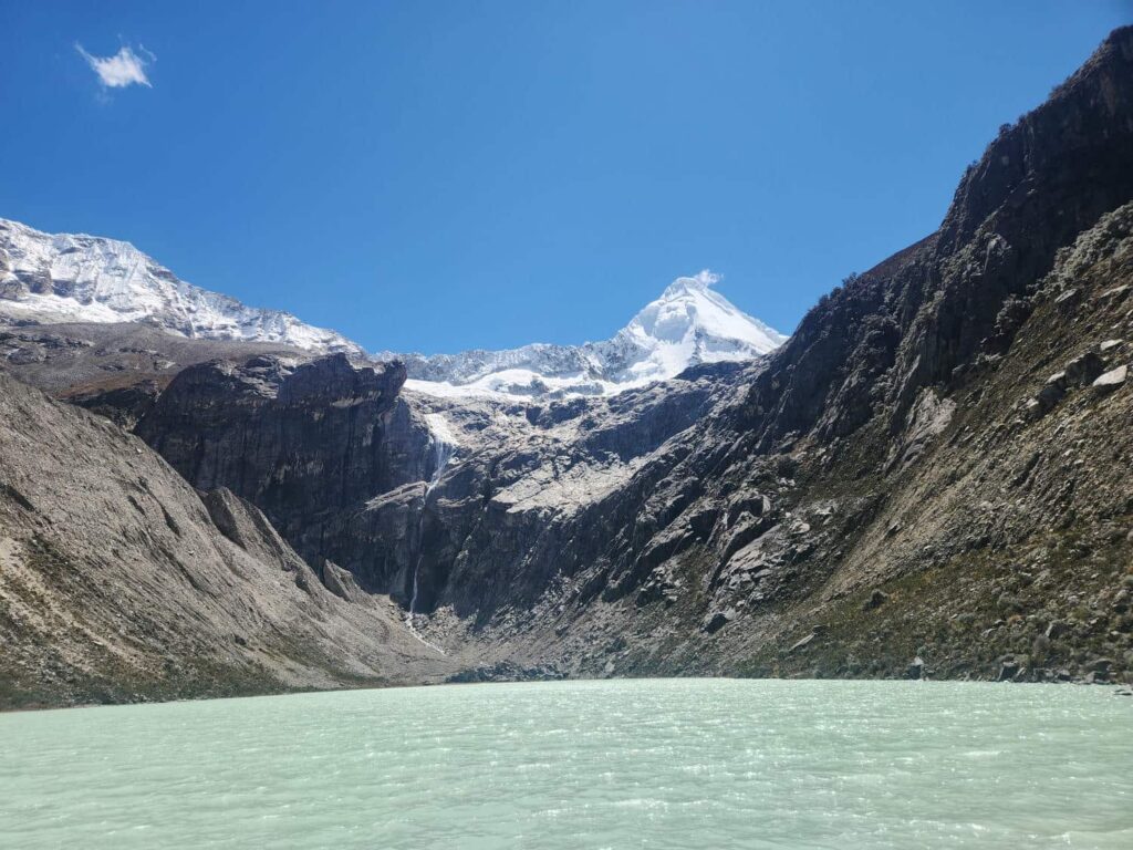
After only around 20 minutes, we made it to the second lake, with an unreal view of Artesonraju, a picturesque peak made famous by being the inspiration for the Paramount Pictures logo. We weren’t at the same viewpoint as the logo, but it was still a ridiculous pyramid-like mountain over 7,000ft higher than us- and we were at well over 12,000ft! We spent over an hour sitting on the side of the lake, enjoying the ridiculous mountain scenery. It looked like a scene out of a movie- vividly blue glacial lake, stone cliffs all around us, a massive waterfall across the lake, Artesonraju towering above, all framed by snow-capped peaks.
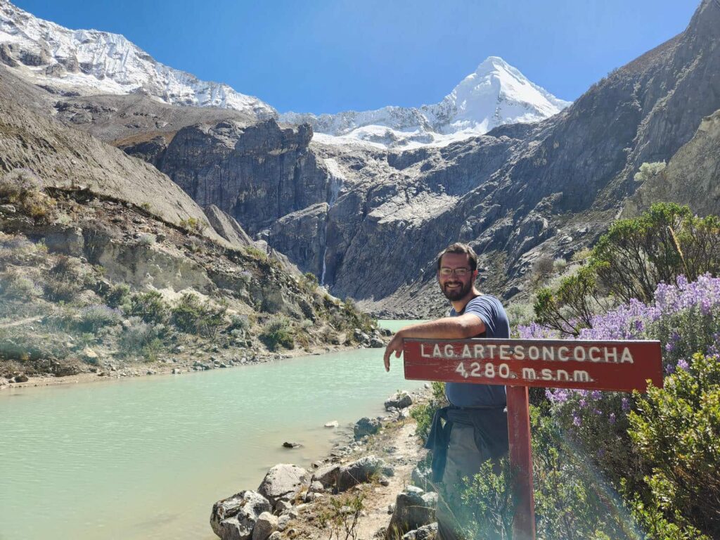
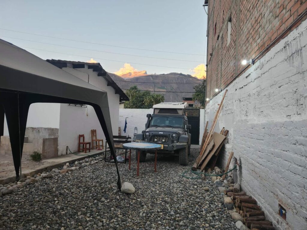
It was sadly time to leave, so we hiked back out to the jeep and made our way back down the narrow road. Thankfully, we only met a few vans coming up- what a difference from the previous night! We drove back in to Caraz and to a hostel that offered overlanders a place to park as well. The owner, Juan Carlos, was very welcoming, and served us a beer while he asked about our travels and what we thought of Peru. He was a very interesting character, and had lived in the U.S. as well as Belgium for a time, so he was fluent in English, French, and of course Spanish. We settled in for a few nights- how nice to have an outdoor kitchen, bathroom, and running water! It had been a long week coming south through the mountains, and it seems that very few other people do the route we did. Most go down to the coast from Cajamarca and meet up with the actual Pan-Am highway, but we are really glad that we toughed out a few long days on sketchy roads. Now to rest up and start acclimating for some more hiking!