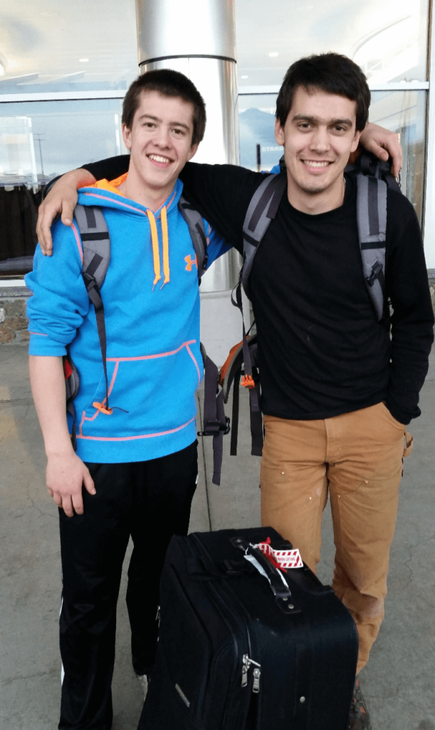
This trip is the first “big” road trip that I can remember. I had just graduated high school, Mike Wise had just finished his freshman year of college, and Joseph had just finished his junior year of high school. Mike had to drive home from college from Wyoming to Alaska, and he asked Joseph and I if we’d like to join him. It sounded like the adventure of a lifetime so off we went!
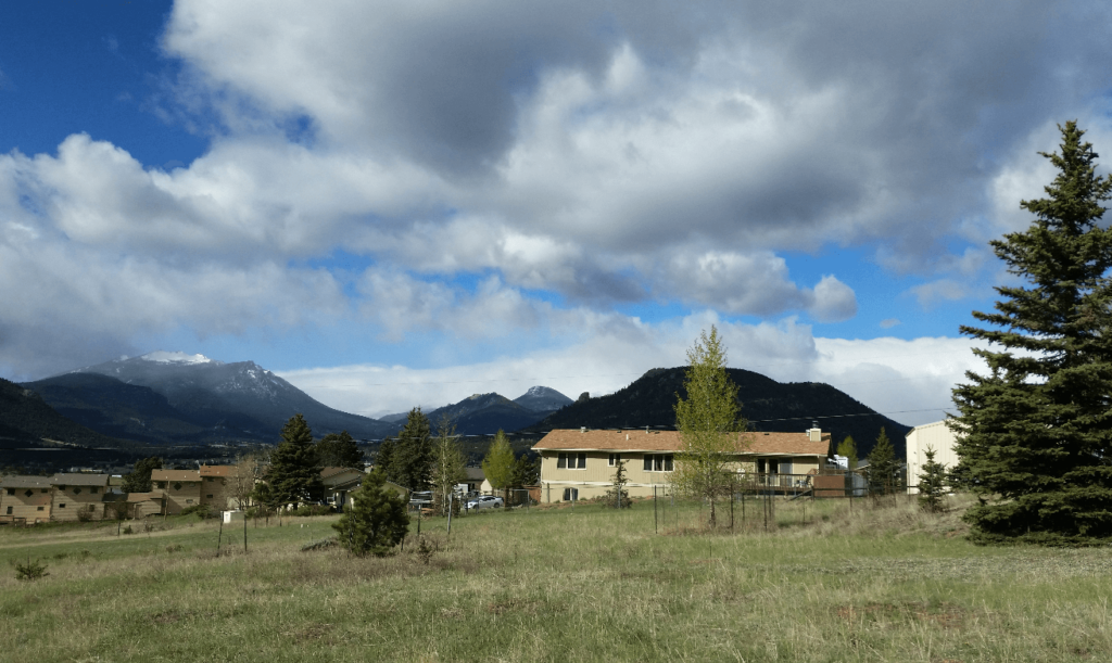
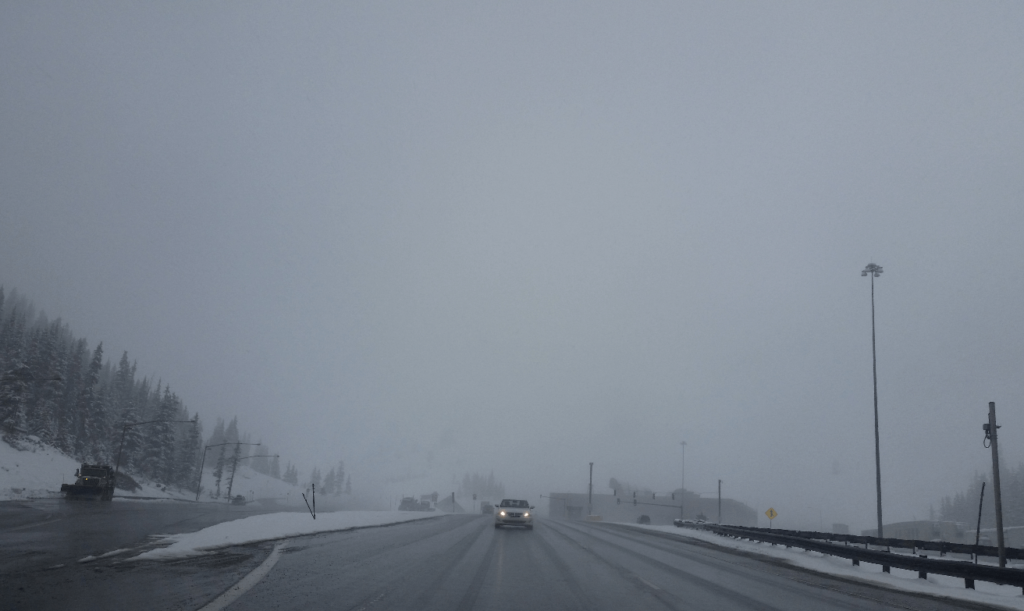
Mike picked us up at the Denver airport, and we headed up to Estes Park, where my grandparents’ house sat vacant for the spring. We spent the night there and got on the road early the next morning. We headed down through Allenspark and Black Hawk to I70, and then headed west. This was the first time I can remember going up and over the continental divide on I70. We went into the Eisenhower Tunnel on the east side with sunny skies and exited the west side into a snowstorm!
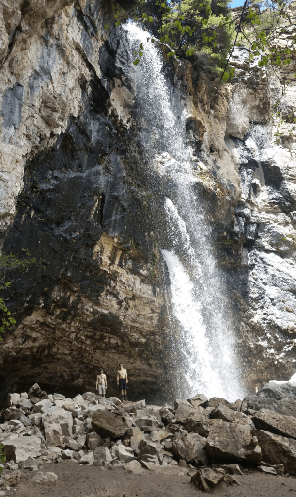
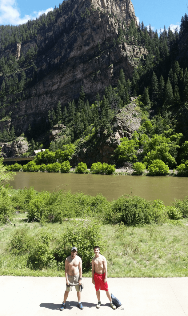
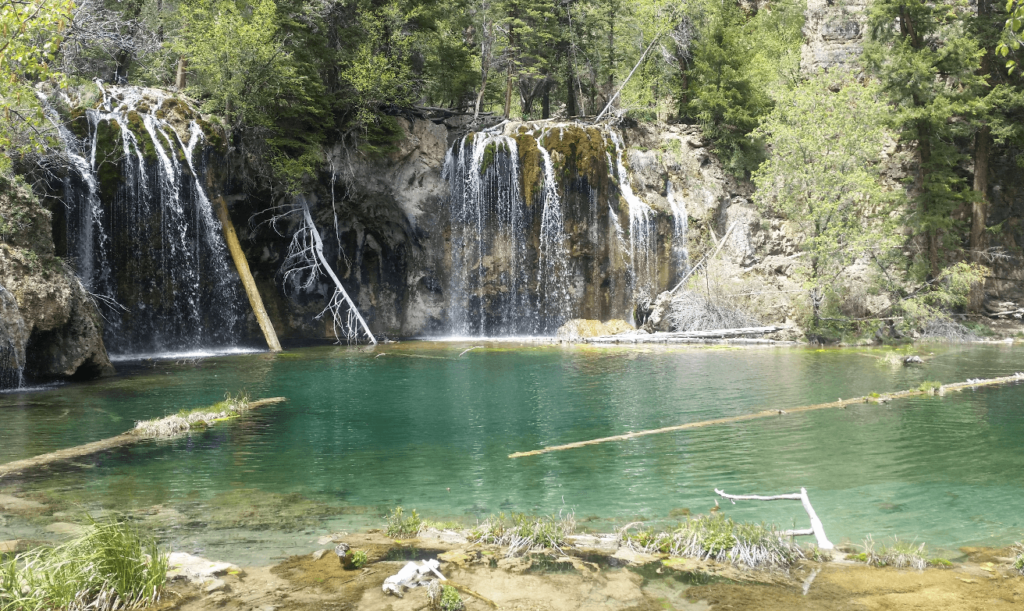
Our next stop was to hike up to Hanging Lake, a beautiful green lake that Mike had heard of. After a few wrong turns on the highway trying to get off at the correct off ramp, we made it to the parking lot and started hiking along the beautiful Colorado river. We soon turned uphill and came upon the beautiful green lake. The lake is fed by a mossy waterfall, which is in turn fed by a larger waterfall spurting directly out of a limestone cliff face further up the canyon. We had a great time exploring the area, though it was clear that it’s popularity meant that it was enjoyed by a different crowd of hikers than we were used to. People were feeding the chipmunks, leaving trash, letting kids wade in the lake even though it is clearly not allowed, etc. The area is now accessible by permit only, and as of the time of this writing, by bus only from Glenwood Springs- no personal vehicles allowed to the parking lot. Such is the price of such a beautiful area being only a short hike from a major highway.
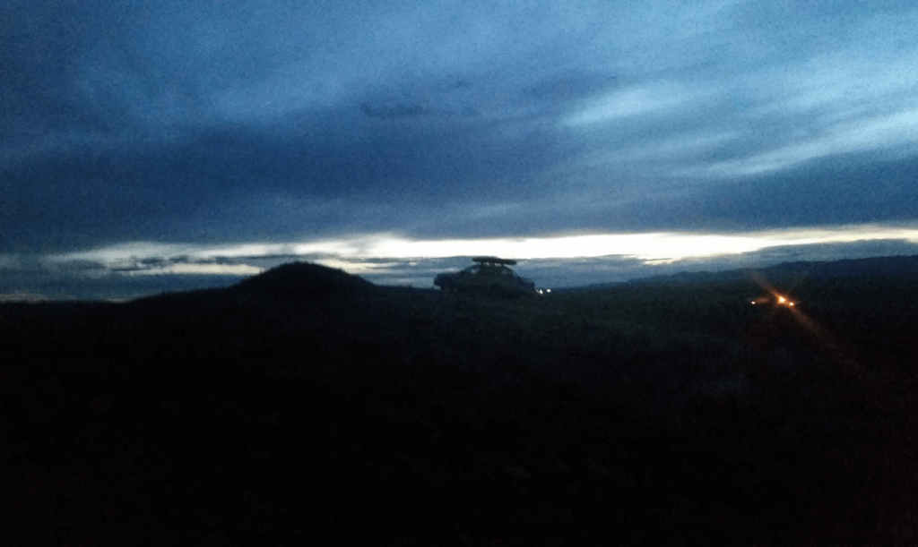
We then drove on through Glenwood Springs, unfortunately not having time to stop in at The Italian Underground, and incredible Italian restaurant in a basement below a clothing shop in downtown. We passed through Grand Junction, my first time seeing it- interestingly, I remember thinking to myself that I could live there someday. With the light fading, we turned south at the first Cisco exit off of I70. Driving along with the last of the sun disappearing, I noticed a large earthen hill on the side of the road. I turned to Mike who was driving and said, “we should climb that.” We stopped on the side of the 2-lane highway, burst out of the Baja, and all sprinted to the top of the hill. It was a total spur of the moment thing that I have remembered fondly ever since- we were all so excited to be on such a crazy road trip that we couldn’t help but just run to the top of the nearest hill. A little further down the road, we also drove the Baja off the highway to the top of a slightly smaller and less steep hill. It was our first taste of offroading in the Baja- we would put it through many more trials and tribulations throughout our college road trips.
We followed the Colorado River down the canyon to Moab, looking for a decent campsite. We didn’t find one that we liked, mostly because we were still inexperienced at finding free campsites on public land. For the first and only time in my life, we camped at an established KOA-style campground in the middle of Moab. The attendant wasn’t there at the late hour that we arrived, so we pitched our tent at an open site and ran back up to the swimming pool to enjoy a late night swim.
We tried to pay the attendant in the morning, even waiting around until 8:30am, much longer than we’d planned. No one ever showed up and there was nowhere to leave money, and there wasn’t even a price listed if we did want to leave money behind. So we didn’t pay, and since then we’ve only paid for camping at Liard Hot Springs- but only because if you want to enjoy the springs late at night or early in the morning, you have to camp there. So we can say that we have never paid for camping- for the sole purpose of camping.
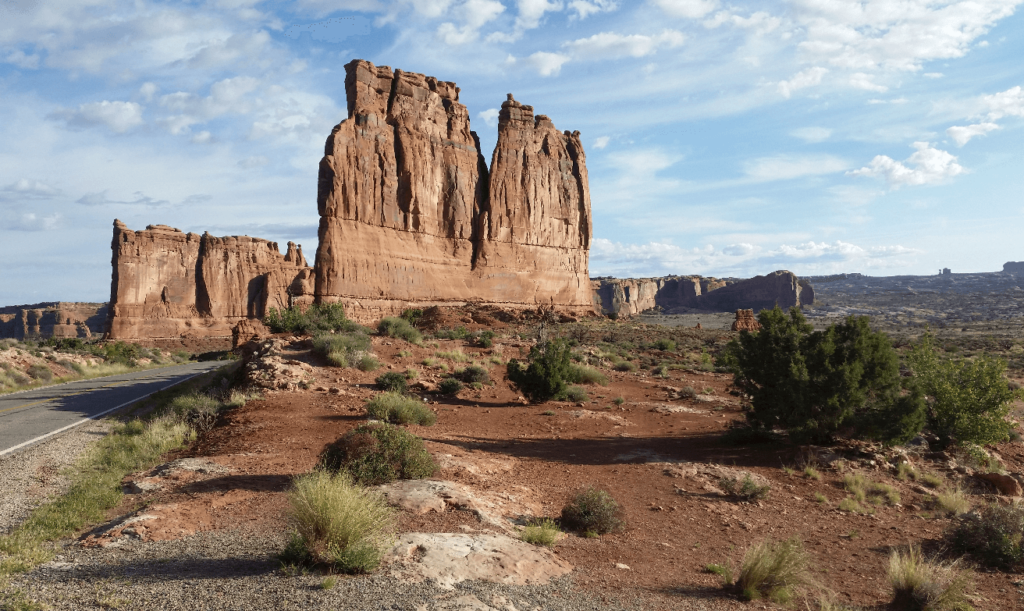
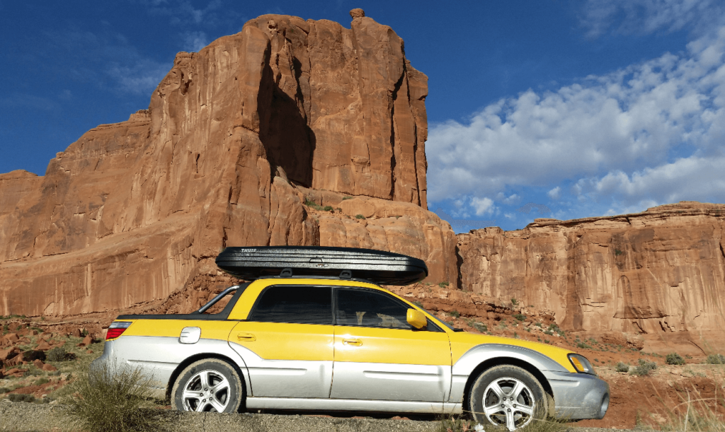
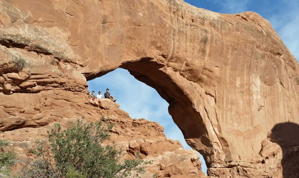
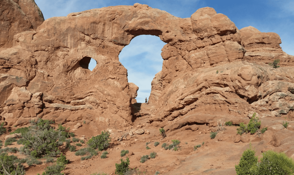
We hurried up to Arches National Park, with the intent of hitting the main attractions before heading south. We spent a long time at the Window Arches, climbing around and exploring. We ran into an irate photographer at Landscape Arch, who was trying to block off the whole trail for his photo. We should have been ruder to him, but we left early to leave him to his camera. I thought Landscape Arch was super interesting, and I wanted to stay longer, but Mike and Joseph wanted to move on.
We drove south from Moab through Bluff and Mexican Hat. We didn’t bother leaving the highway to get closer, but Mexican Hat was a really interesting rock formation. We came over a small hill south of Mexican Hat, and I was amazed to see that the buttes and mesas we were looking at further down the road were featured in Forrest Gump, in the scene where he decides to stop running. We had no idea that it was along our route!
We were hoping to see Monument Valley, but we thought it was along the road and not up a side road, so we sadly missed it. We were on a bit of a time crunch and we didn’t have the time to turn around to go back. Next time! We did see Ship Rock off the side of the road, which was really neat- an old volcanic plug.
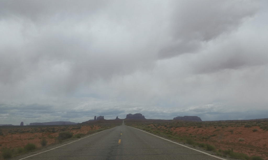
Past Monument Valley and getting deeper into the Navajo Reservation, we started seeing more and more Native American towns. While we never felt unsafe, there was a definite feeling of “might as well push on” rather than stopping in. We were surprised to see how poor and run down the area was. Our previous experience with Native Alaskans back home was quite different- while they certainly got the raw end of the deal also, they seem to have gotten a better deal than the Navajo.
We turned right at Cameron and headed towards the Grand Canyon. We passed by the Little Colorado River Gorge and would have liked to stop, but the Navajo were charging more for access to the viewpoint than the Park Service was charging to get access into the Grand Canyon! We settled for viewing it from the road.
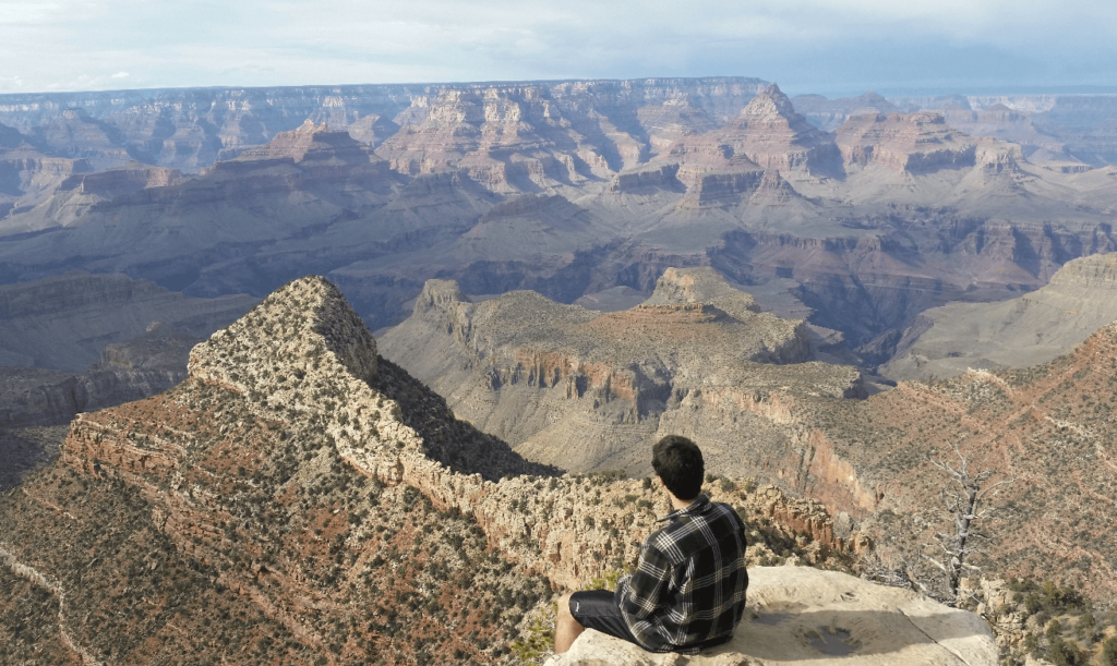
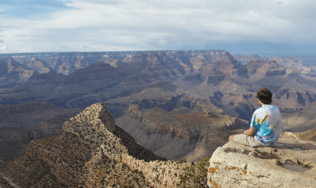
When we finally got there, the view into the Grand Canyon was every bit as incredible as we’d been led to believe. The canyon is HUGE. The human language lacks the adjectives to explain it. Pictures can try but you have to be there to understand.
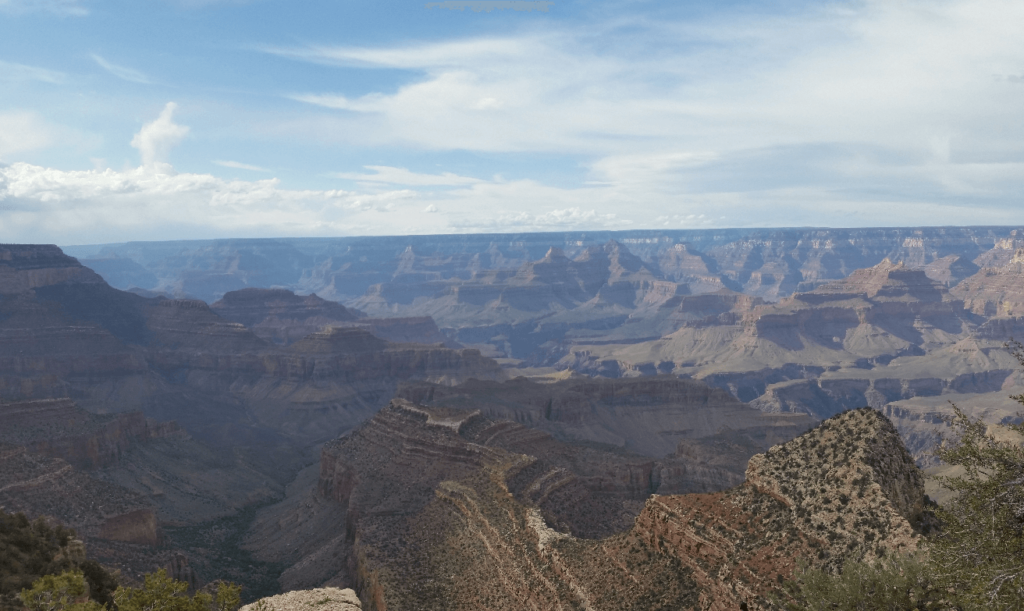
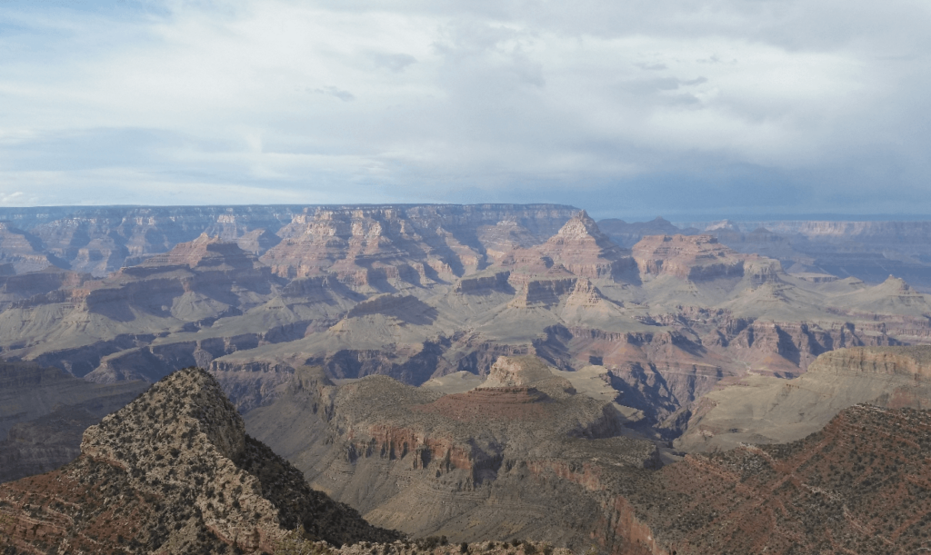
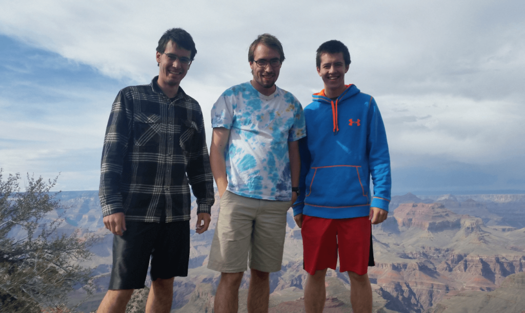
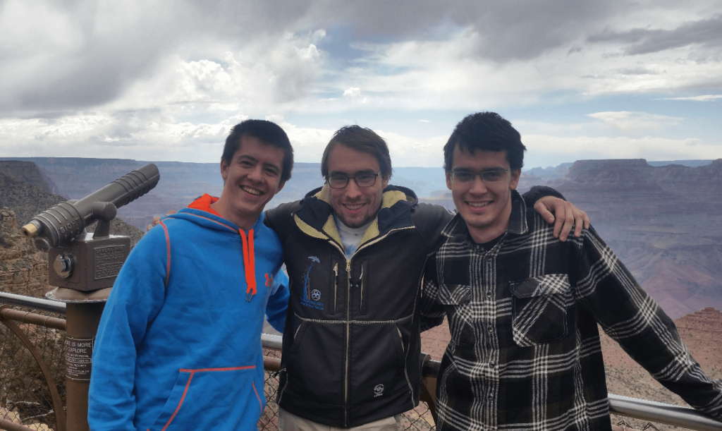
We stopped off at most of the viewpoints along the south rim, but the view doesn’t really perceptibly change. It is just an incomprehensible mirage of different colored canyons, benches, points, valleys, mesas, and plateaus. I wish we’d had more time to hike down to the bottom, but it is a long way down. We are used to climbing mountains where you put the hard work in first- not once you’ve reached the bottom of a canyon and have to go back up!
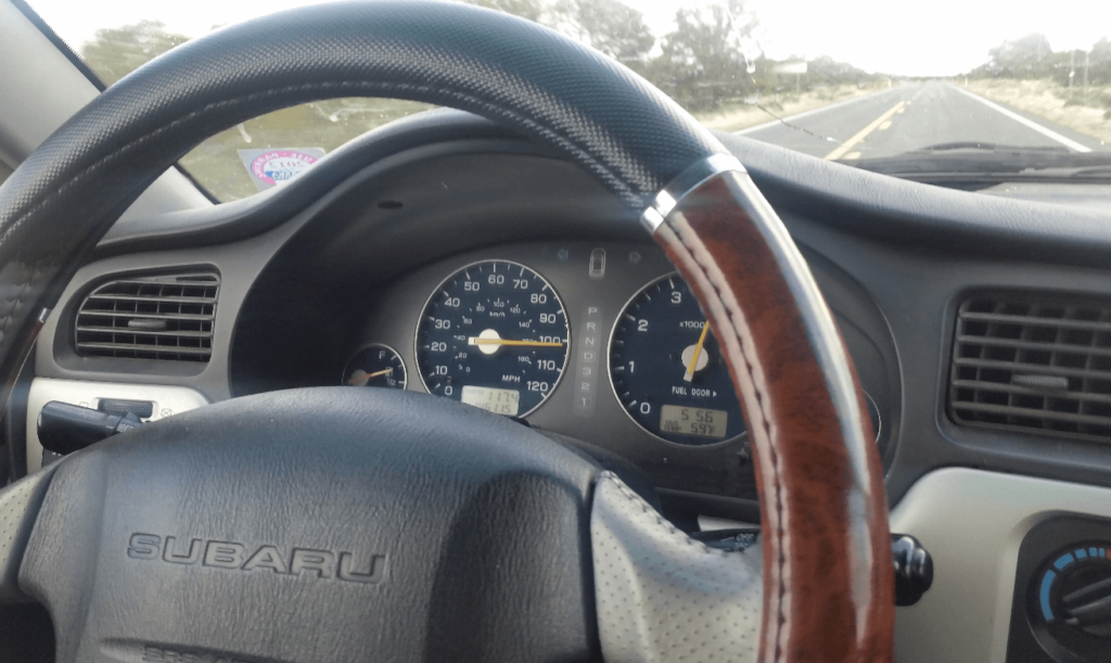
Mike’s uncle lived in Flagstaff, so we planned to get there before dinnertime and spend the evening and next morning there. On the way south we took a side road to Flagstaff which was completely deserted. We took this opportunity to find the top speed of the Baja- not bad for having a large roof cargo box on top!
After a great night in Flagstaff with Mike’s uncle’s family (including their very talkative parrot), the next morning we headed towards our next major stop: Zion National Park. For some reason we did not fuel up in Flagstaff before leaving, and we expected to fill up in Bitter Springs and then continue on 89A below the Vermilion Cliffs and then maybe on to the north rim of the Grand Canyon. We unfortunately did not do our research ahead of time, as Bitter Springs is little more than a ghost town. Unable to fuel up, we had to continue on to Page, which ended up being an awesome spot. We had lunch overlooking Glen Canyon and the dam, which I think is more scenic than the Hoover Dam, and of course much less populated.
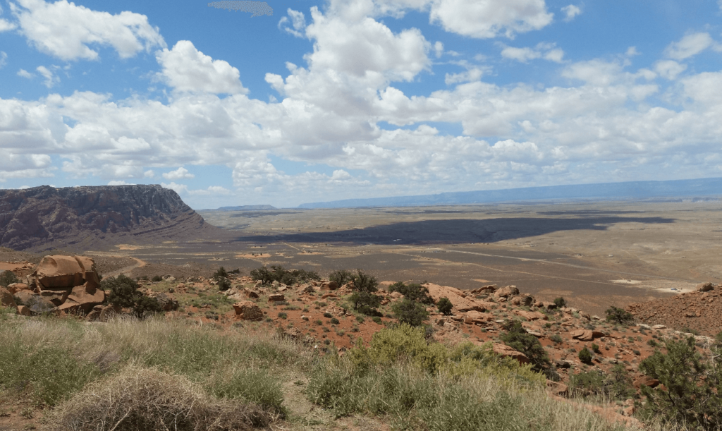
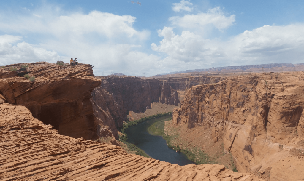
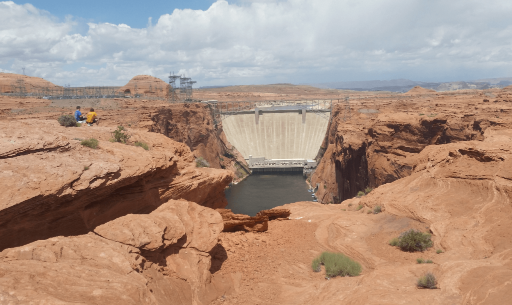
Gassed up, we continued on to Kanab and then turned north towards Mt. Carmel Junction. We must have eaten something bad for lunch, because all of us developed terrible stomach pain on the drive between Kanab and Mt. Carmel. It wasn’t bad enough to where we were worried, in fact, we all thought it was hilarious how Mike complained over every bump in the road. We all needed to find a bathroom, and soon. Just as we were contemplating stopping at the side of the road and dashing into the underbrush, we finally pulled into Mt. Carmel Junction, which has two small gas stations. Mike was the worst off out of all of us so he got first dibs at a bathroom, but Joseph wasn’t much better- he opted to jog across the street to the other gas station. Mike warned me that I should let the bathroom air out when he was done, but another customer at the gas station didn’t get the warning, and went right on in. Mike and I tried and failed to hold back tears of laughter as we heard the poor guy gagging when he went in.
All back to normal, we continued on into Zion National Park. We were really hoping to do the Narrows this afternoon, so we didn’t really stop for the views on the east side of the park. No matter, we all knew we would be back someday- Zion is one of the most incredible places I have ever been to. We made it into Springdale, found parking at a closed Subway, at only had to wait for around 15 minutes to get on the bus.
You used to be able to drive your own vehicle all the way into Zion Canyon all year round, but as of 2000 it is bus-only from April to October, with few exceptions. There just is no room in the upstream side of the canyon for parking- I can’t imagine how bad it must have been before the bus system.
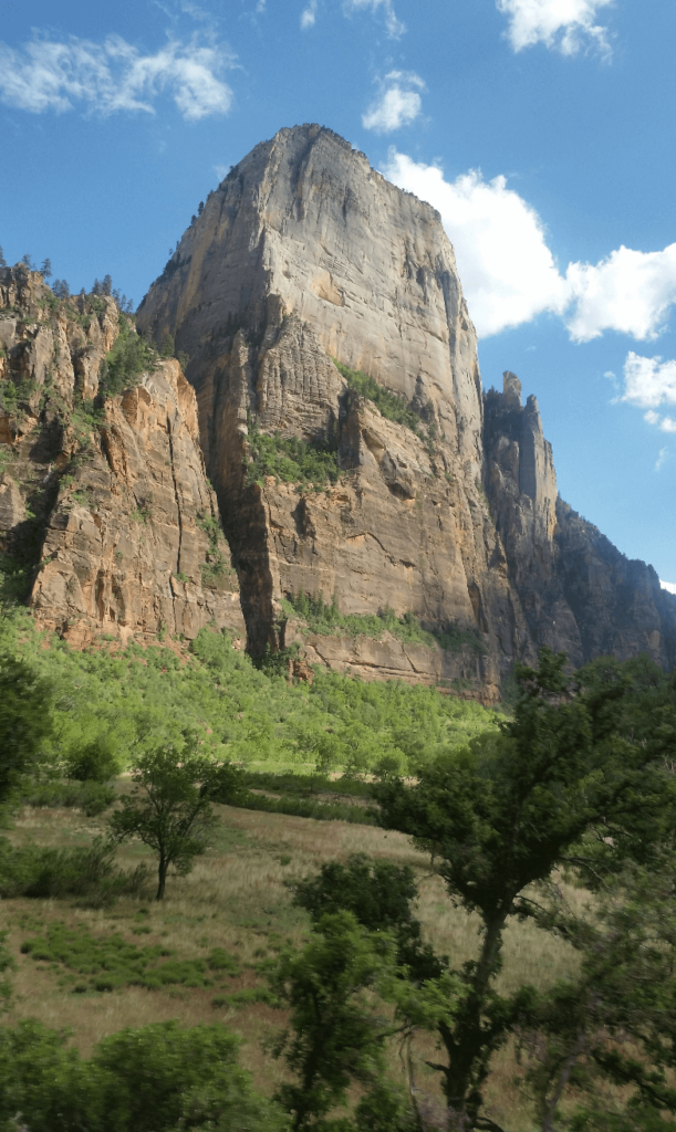
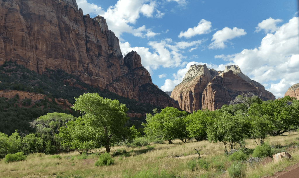
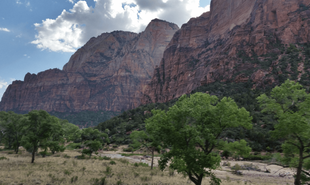
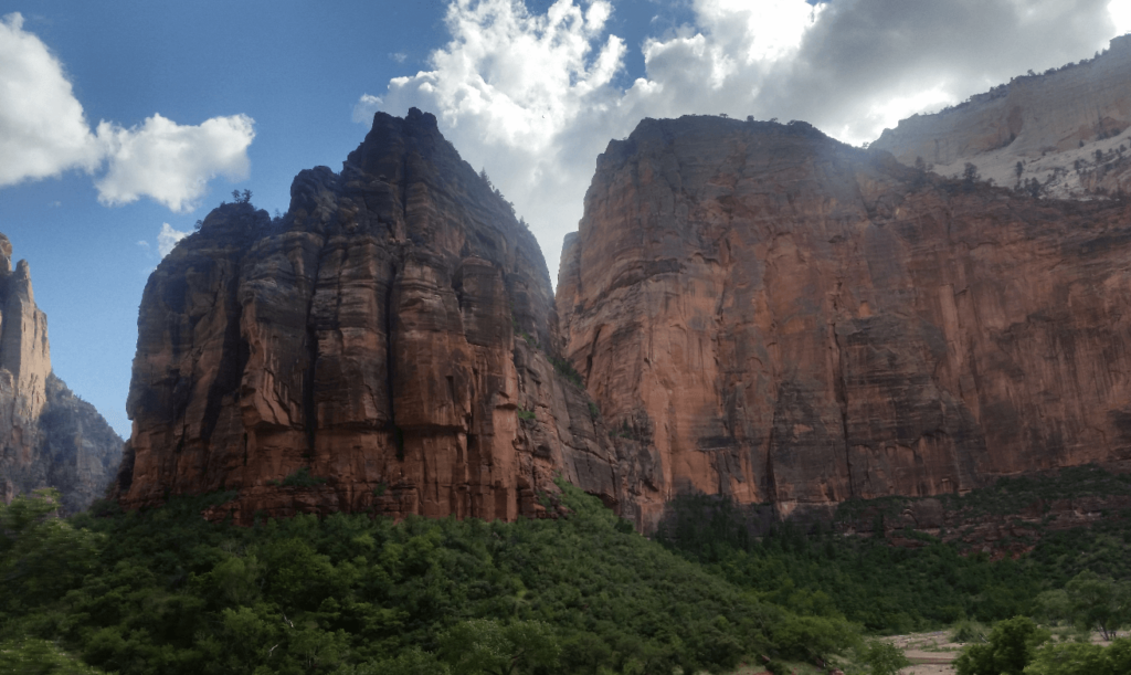
Even if you couldn’t get off the bus in Zion, it would be one of the most amazing places I’ve ever been. The ride up the valley is simply incredible, and has to be seen to be believed. Fortunately, you can get off the bus, and we planned on doing one of two bucket-list hikes in Zion: The Narrows, at the very back of Zion Canyon.
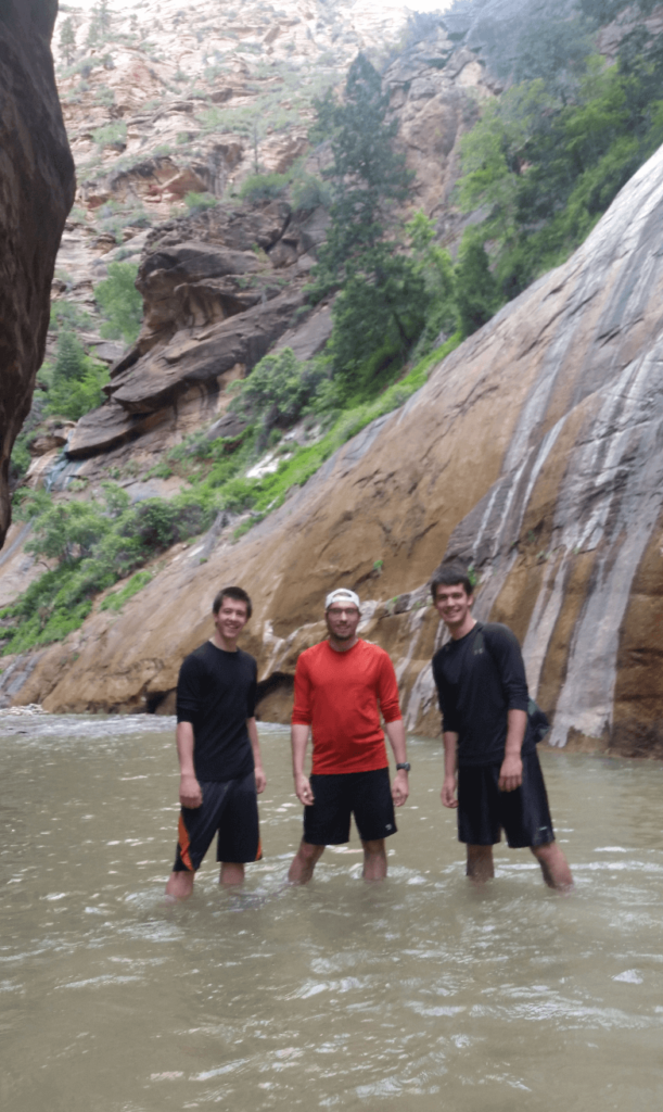
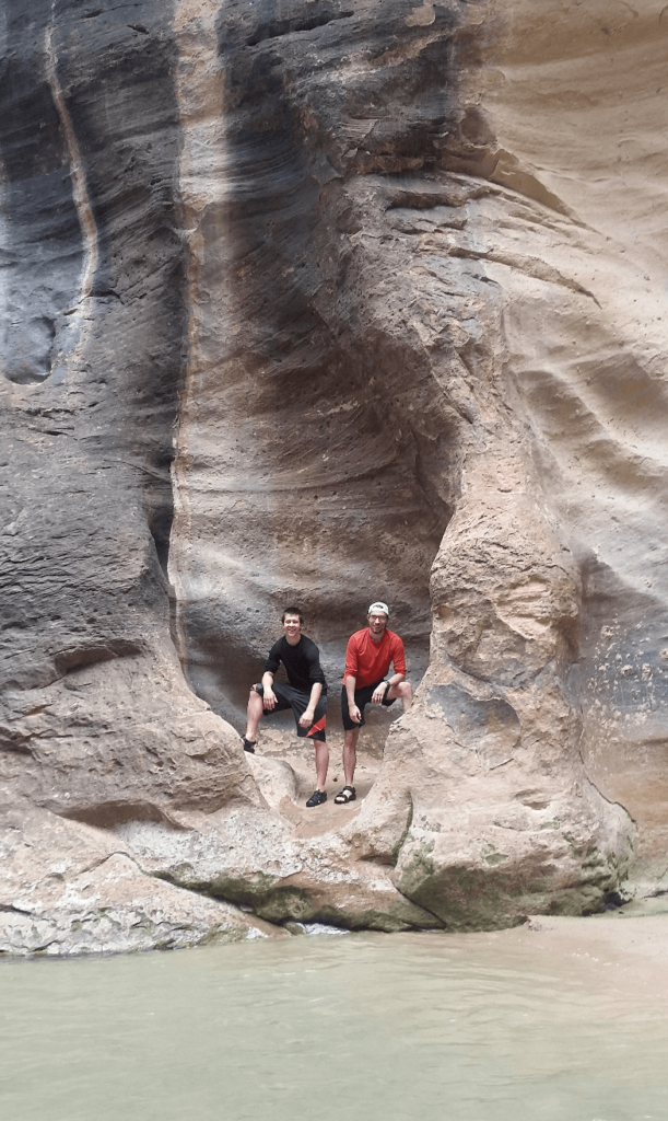
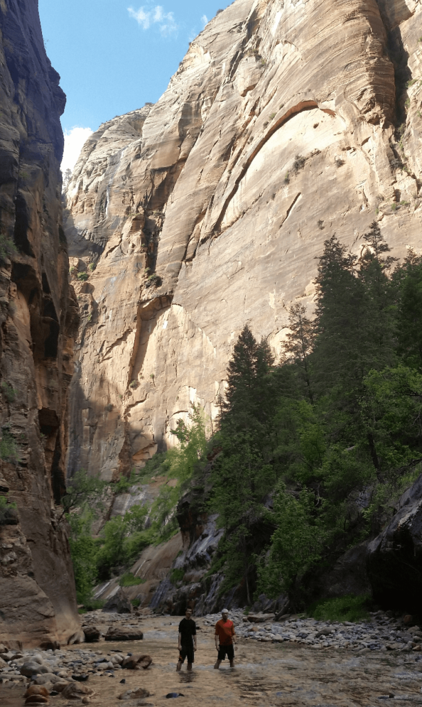
The hike is entirely in or right next to the Virgin River, which flows through an incredibly deep and vertical canyon. The canyon walls are as tall as 1,300ft and as narrow as 40ft apart. We felt absolutely tiny. Because we started so late in the day (we’d been in Flagstaff that morning!), almost everyone we saw was headed down the canyon, not up. It didn’t take long for us to be completely alone, deep in the depths of this unbelievable gorge.
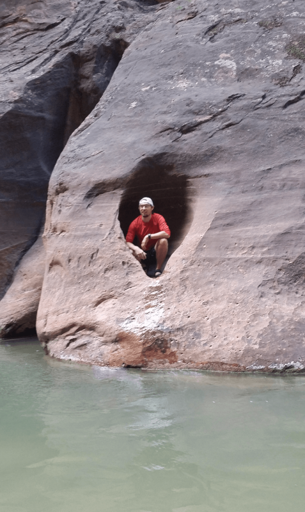
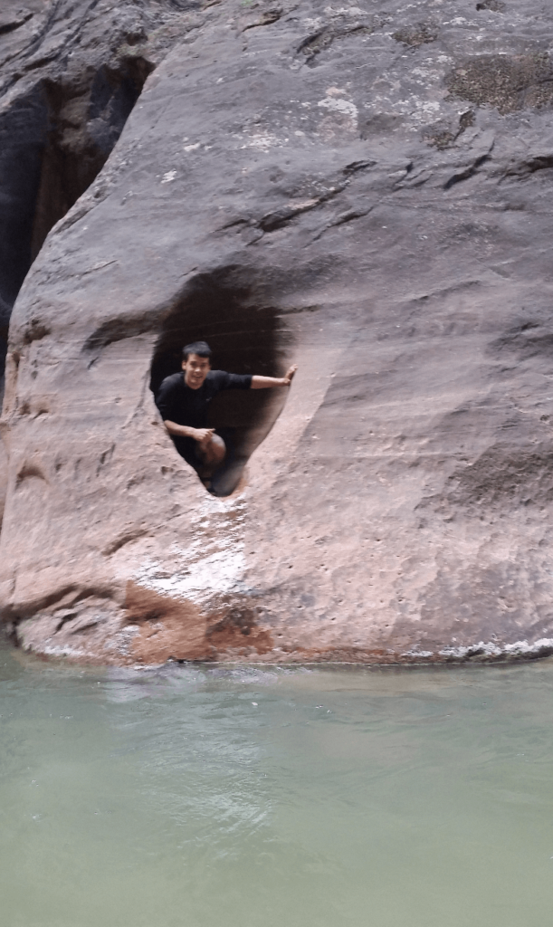
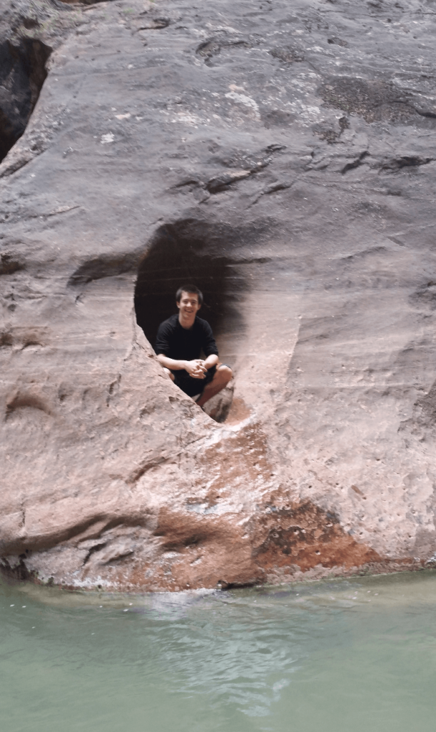
There are countless interesting alcoves, cracks in the rock, and tiny side canyons to explore. Though our being late in the day allowed us to explore largely alone, it did mean that we didn’t have the hours and hours we would have had if we’d started early in the morning.
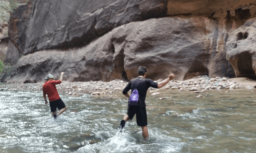
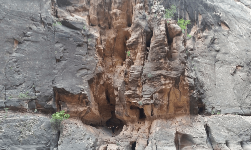
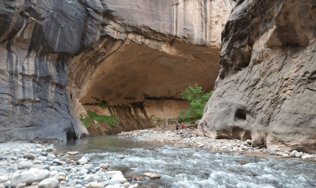
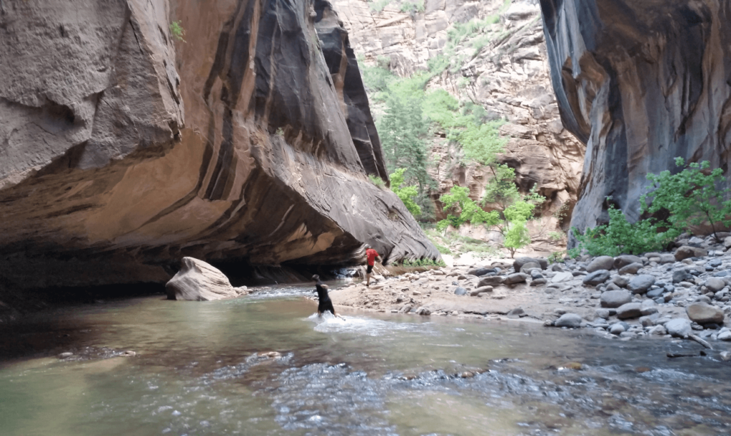
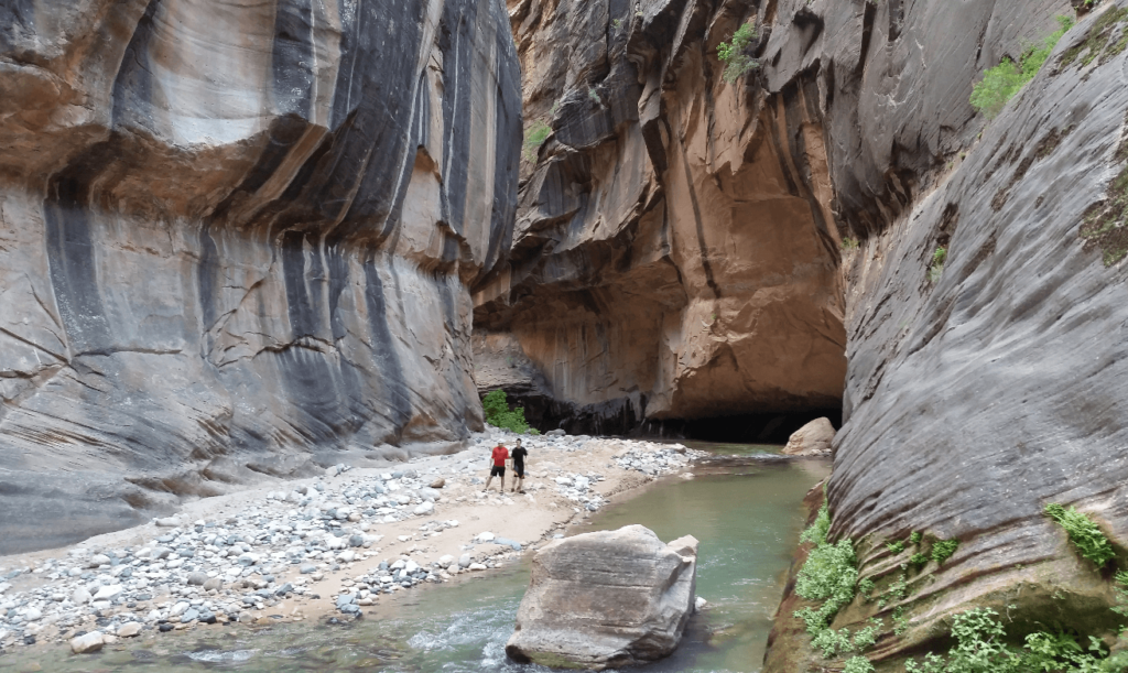
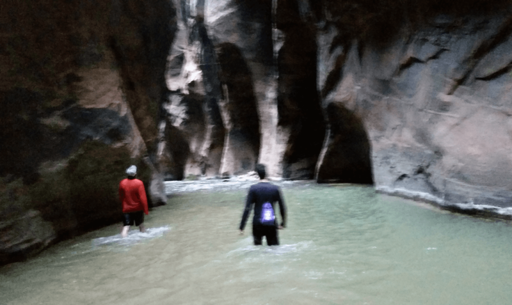
The canyon is never straight for long, and the river never hugs one side of the canyon for long. We must have crossed the river 50 times, and there were times when the river stretched from vertical wall to vertical wall. It was fascinating to see how the river had carved in overhangs over the eons. We could see old overhangs hundreds of feet above us, where the water had carved out an alcove millennia before. We explored a much narrower side slot canyon, Orderville Gulch, before returning to go further up the main canyon.
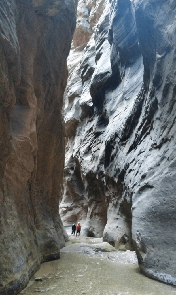
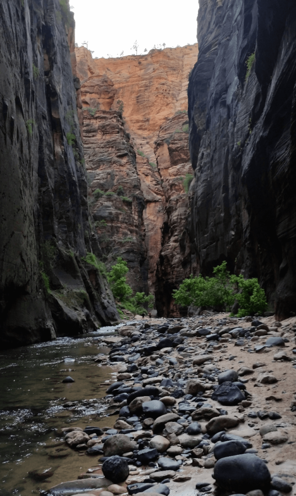
By this point, the daylight was fading. We turned around in a section of darkly stained rock, which was the narrowest part of the main canyon we’d seen so far. The river stretched all the way across the canyon bottom for several hundred yards. Because of the fading light, my phone was really starting to struggle to focus. Seeing the canyon start spreading out again, we surmised that it was probably time to head back and make sure we caught the bus back out of the canyon.
We made it out of The Narrows in plenty of time, and caught the bus back down to the visitor center. We found a restaurant in Hurricane and found camping up a water tank service road east of La Verkin. We were so tired that we didn’t bother setting up the tent- Joseph and I slept in the front seats of the Baja and Mike slept in his customary spot in the bed, wrapped in a tarp.
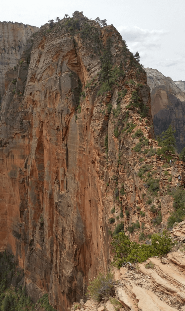
We begrudgingly woke up early the next morning to get back into Zion. After waiting slightly longer for the bus due to the amount of people in the morning, we got off at the trailhead to Angel’s Landing. We’d seen it on our way in the day before, and with slight trepidation after our long day yesterday, we made very good time to the top of Walter’s Wiggles, a series of 21 very tight switchbacks. Staring at the summit ridge ahead of us, we were glad that none of us have a fear of heights! As of 2022, a permit is now sadly required to go beyond the lookout just past Walter’s Wiggles.
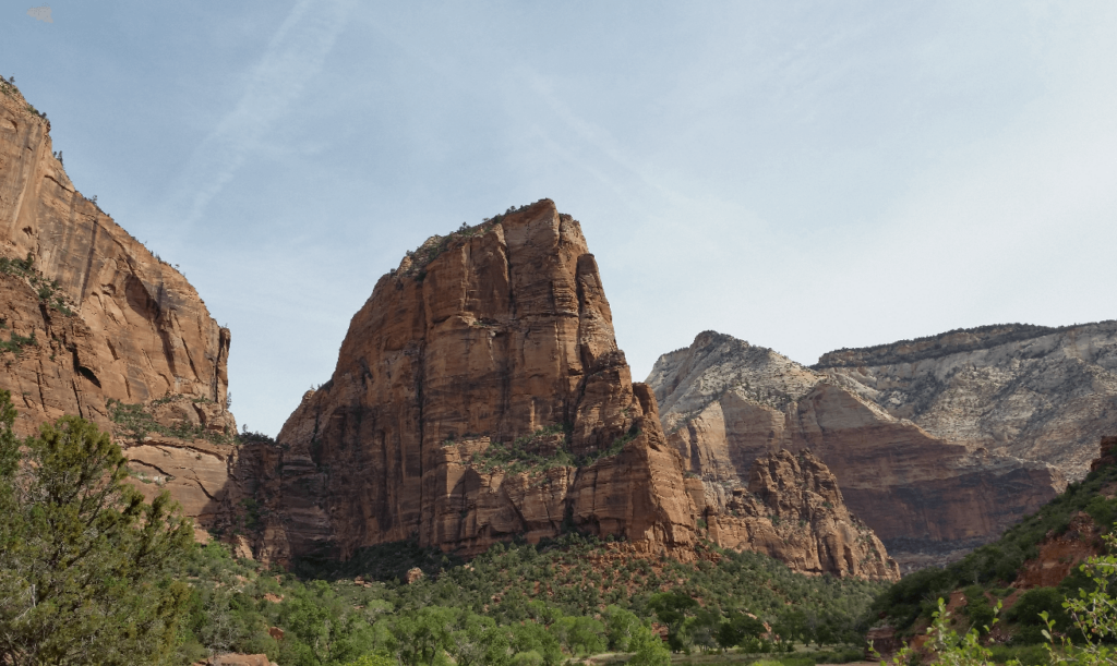
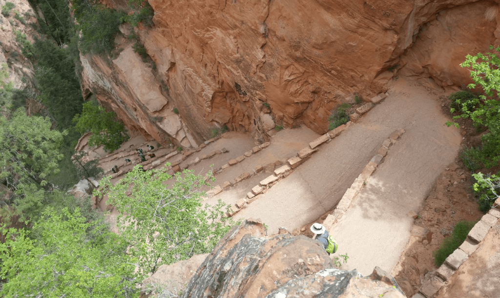
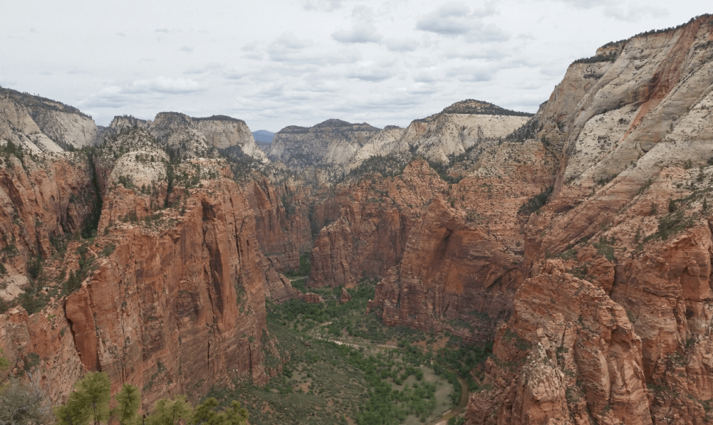
Getting to the top is not technically difficult at all, but it does require some numbness when it comes to heights. The trail sits very close to the edge in some places, and all that is between you and a long drop with a sudden stop is a chain stretched along the trail in the more exposed areas.
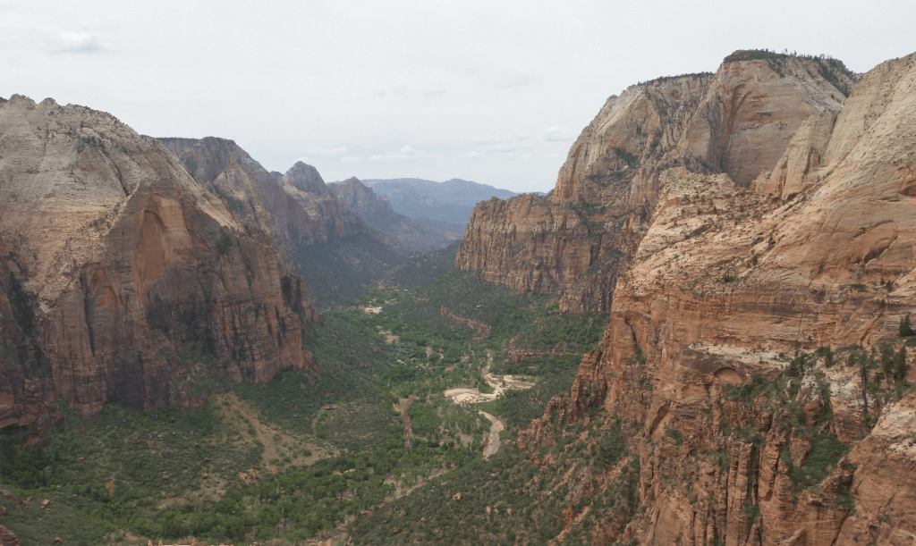
The view from the top was incredible, and just makes me want to spend more time in the park. We could see the beginning of The Narrows, as well as a number of notable high points in the park, most of which are accessible if you want to put the work in. Someday I will be back!
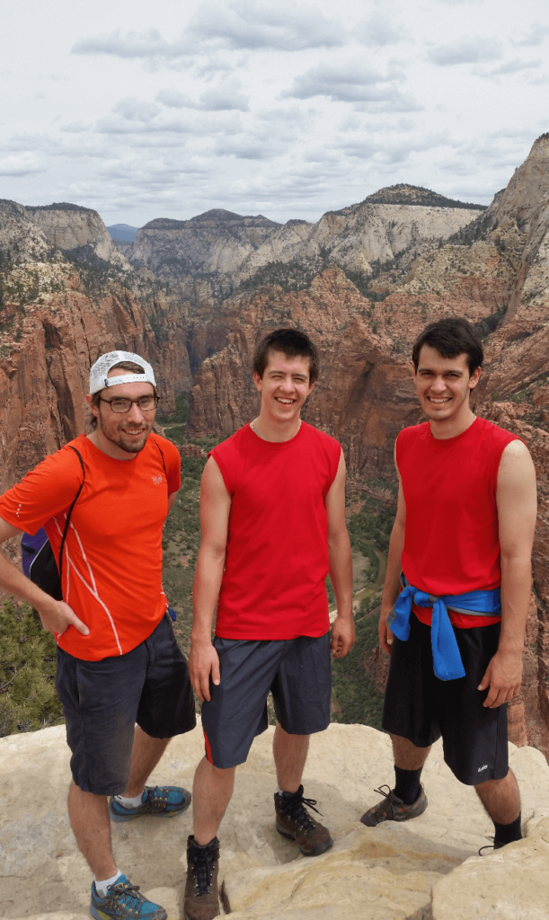
After making it back to the trailhead at a blistering pace, we caught the bus for the last time and headed south out of Zion and towards Las Vegas. We drove through the Virgin River Gorge, which none of us were expecting- all of a sudden, like deja vu, we were again at the bottom of a huge canyon! Past Mesquite, we turned south on Highway 169, which then turns into 167 along Lake Mead. We had a blast driving along the highway- absolutely deserted, with wide, fast curves. We wished for a sports car but made do with the Baja, as we carved our way down to the lake. Even though we were going much faster than we normally would, we were still under the speed limit for most of the time. We did see several exotic sports cars along the way, so this must be a popular area to go have fun semi-legally.
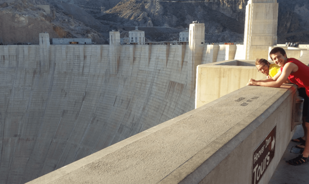
By the time we got to Lake Mead, it was high noon, and HOT. We all had the same idea at the same time, and drove down to the lake shore at the first obvious lake access point. We all jumped in the water and cooled off. Drying off in the sun in mere minutes (totally foreign to us Alaskans), we hopped back in the Baja and made it to the Hoover Dam. After a thorough vehicle inspection, including opening up the roof rocketbox and pulling everything out, we could drive down and across the dam. It was crazy to think that until 2010, all of I11’s traffic went over the bridge, which is quite narrow for even a small two-lane highway.
After exploring the dam, as well as the well-appointed restrooms we found on the top of the dam, we drove back to the west side and walked out on the pedestrian section of the Mike O’Callaghan-Pat Tillman Memorial Bridge. It has some impressive statistics- widest concrete arch in the western hemisphere, and second-tallest bridge in the US, after the Royal Gorge bridge in Colorado.
We left the Hoover Dam and drove into Las Vegas. As it was Sunday, we had to go to church. The irony of happening to go to church in “Sin City” was not lost upon us. Without even driving through the more touristy areas of Las Vegas, we found the city very strange and off-putting. After several days in pristine wilderness, it was jarring to see 1) a city in the middle of the desert, 2) homeless people and trash everywhere and 3) personal injury lawyer billboards everywhere. We found a church as close to our route through as possible, and sped out of town as quickly as possible. By the time we left town, it was dark, and we managed to find some undeveloped camping on the western slopes of Mt. Charleston.
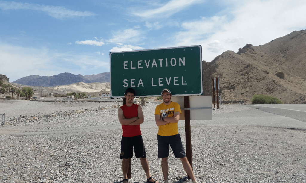
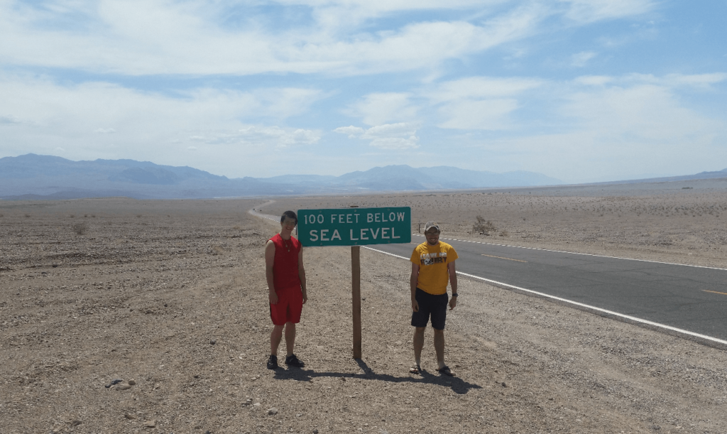
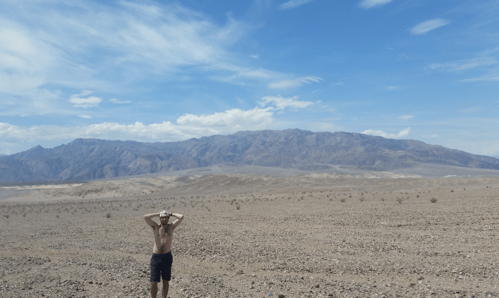
In the morning, we drove to Amargosa Valley before heading south into Death Valley. Besides stopping at the signs denoting how far below sea level we were, we didn’t spend a ton of time there. It was HOT, HOT, HOT, well over 100 degrees. We stopped briefly at the Mesquite Flat Sand Dunes, but we were hot after hiking less than 100 feet into the dunes. We are were not built for the heat, and quickly retreated back to the air conditioned Baja.
All three of us grew up in Alaska, which is lush, green, and heavily forested. The starkness of this landscape, even with the few small bushes and grasses, was eerie. We just could not believe how desolate it was.
On the long climb out of Death Valley, from 200 feet below sea level to nearly 5,000 feet above sea level at Towne Pass, the Baja started overheating. It was heavily loaded down and being over 100 degrees, we were not surprised. Unfortunately, the solution was to turn off the A/C and turn on the heater, which acts as a secondary radiator to pull more heat out of the coolant. This left all three of us quite miserable for the 15 minutes it took to cool the engine back down.
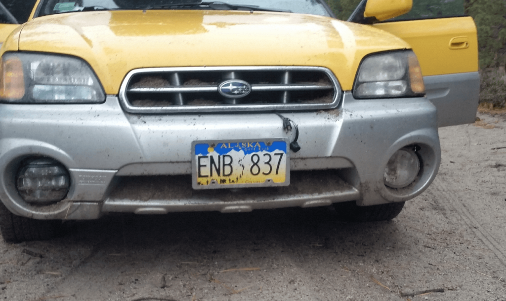
We camped at a small campground somewhere on the east side of the Sierra Nevadas that night. After unloading all our camping gear, we went bombing down some of the sandy forest service roads, and got a bit too rowdy- an unexpected dip in the road put the front bumper of the Baja into the ground, throwing sand everywhere. Sand ended up on the hood, in the grill, in the headlights… we learned our lesson and we were very careful as we drove back to camp.
That night, there was a torrential downpour. We cooked hot dogs straight over the jet boil flame, as we were totally unable to get a fire going. After we got into the tent, the rain worsened. I got lucky and was on the high side of the tent, but Mike and Joseph basically had the ground washed away beneath them- a small river had chosen its course right underneath our tent. We made it through the night and awoke to all our gear being soggy the next day.
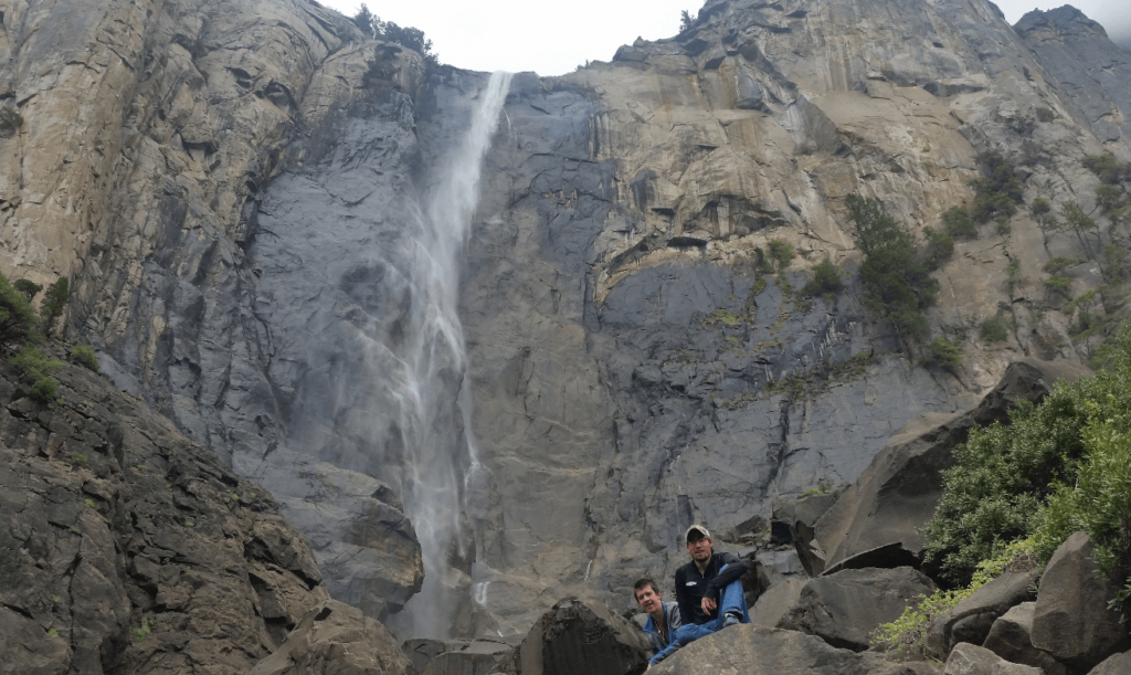
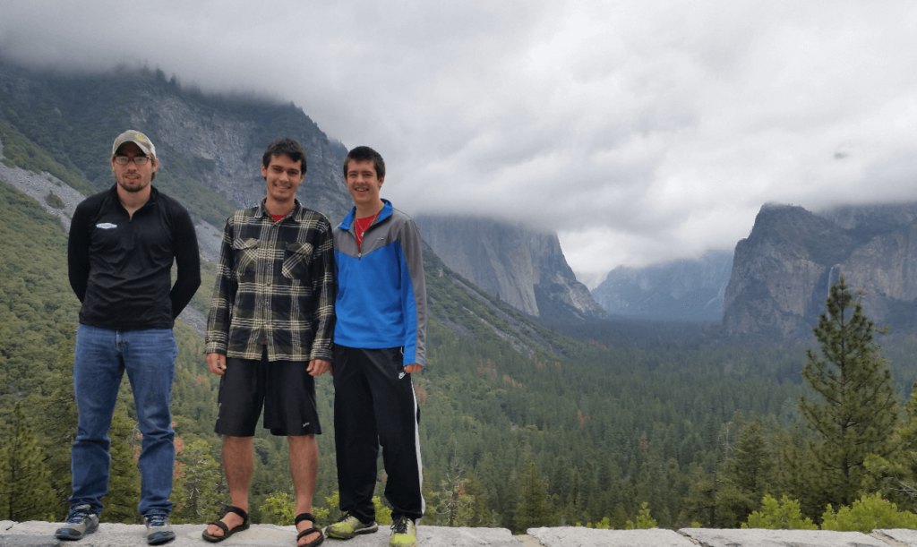
The next day, we crossed over the Sierras on Highway 120 into Yosemite. We had been really hoping to get a permit to climb Half Dome, but we didn’t get it- which may have been for the best. It was a rainy and cloudy day, and the climb probably wouldn’t have been terribly enjoyable. Next time!
Yosemite was really one of the main reasons we came out this far west before heading north to Alaska. I wouldn’t say it was underwhelming, but just “whelming”. There is a lot of infrastructure in the valley bottom- hotels and restaurants dot the valley floor. Because we had grown up in Alaska, and spent a lot of time in the pristine Rocky Mountain National Park, we had this belief that national parks should barely have any infrastructure, and that it should be difficult to get to the best parts. Most of the trailheads and parking lots in RMNP are unremarkable by Colorado standards, but the park is astounding once you hike 5 miles in. Because it is difficult to get to the more scenic parts, fewer people make the effort to do so, thus keeping the land pristine for those who do want to put a bit more effort in. Yosemite, Zion, and several other western National Parks make it quite easy and accessible to get to the larger landmarks- thus inundating the area with people, and more and more, requiring permits to access certain areas, which in my mind defeats part of the purpose of wilderness. Is it really wilderness if there are so many people that even with the permit systems, the trails are crowded?
I understand that the permit systems are necessary at this point, that there are plenty of areas that don’t require permits, that people who are not able to hike 10 miles on rough terrain should be able to access the “good bits” of national parks, and that even RMNP requires permits and has gotten a good bit more “bureaucratic” these days. I just feel sad that the next generation won’t know what it was like to climb Angel’s Landing, for example, without having to rely on a lottery system to get access to public land. I miss the days when the permit systems weren’t necessary. I’ll get off my soapbox.
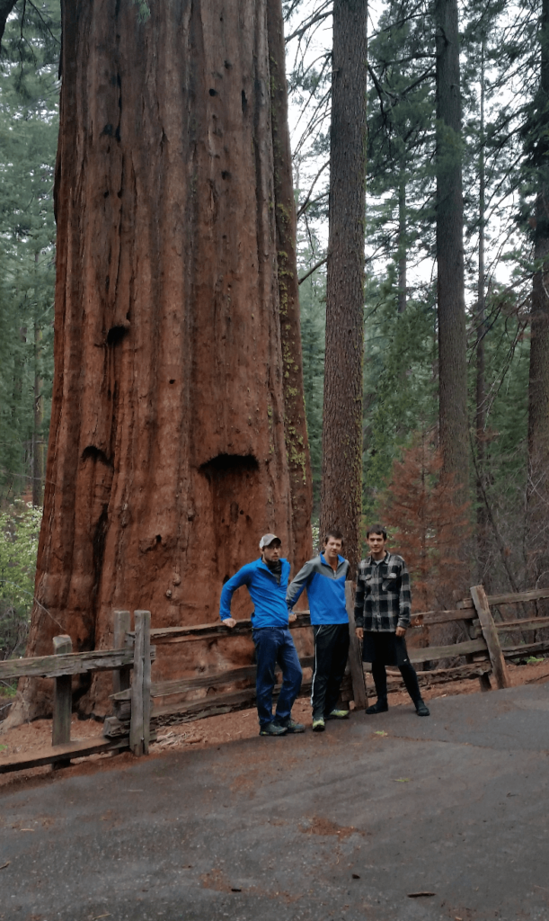
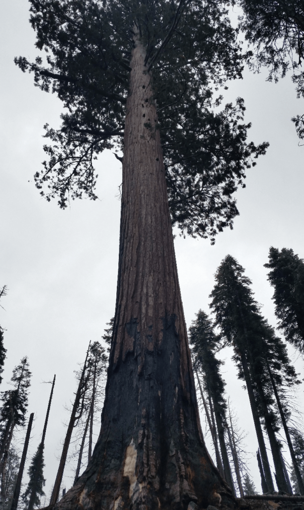
We found the giant sequoias much more interesting than the valley itself. We were blown away with how big they are. And I thought that Alaskan cottonwoods were big trees!
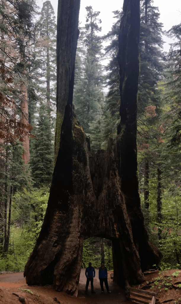
We had hoped to visit King’s Canyon and Sequoia National Parks, but we had to be in Cupertino that evening. It was much further than we originally thought to get from Yosemite down to King’s Canyon. We got to Cupertino in the late afternoon and were welcomed by an old friend, Fr. John Putka. He had met my grandparents in the 70s in Estes Park, Colorado when he was a visiting pastor at their parish. Fr. Putka visited Estes Park almost every year thereafter, and was a big figure, literally and figuratively, in my childhood and adolescence.
He lives in a wonderful Marionist retirement community, and welcomed us with open arms. Mike mentioned as we got to our rooms that “This is a fine establishment,” which has become a saying of ours when we enter anywhere remotely fancy. We enjoyed the hot tub that night and got some good restful sleep in a real bed. The next morning, Fr. John took us out sightseeing. We went along Skyline Boulevard to Alice’s Restaurant, and from there down to the coast at San Gregorio. We drove up the coast to Half Moon Bay and had a wonderful lunch at the Miramar, a seafood restaurant with views out over the bay.
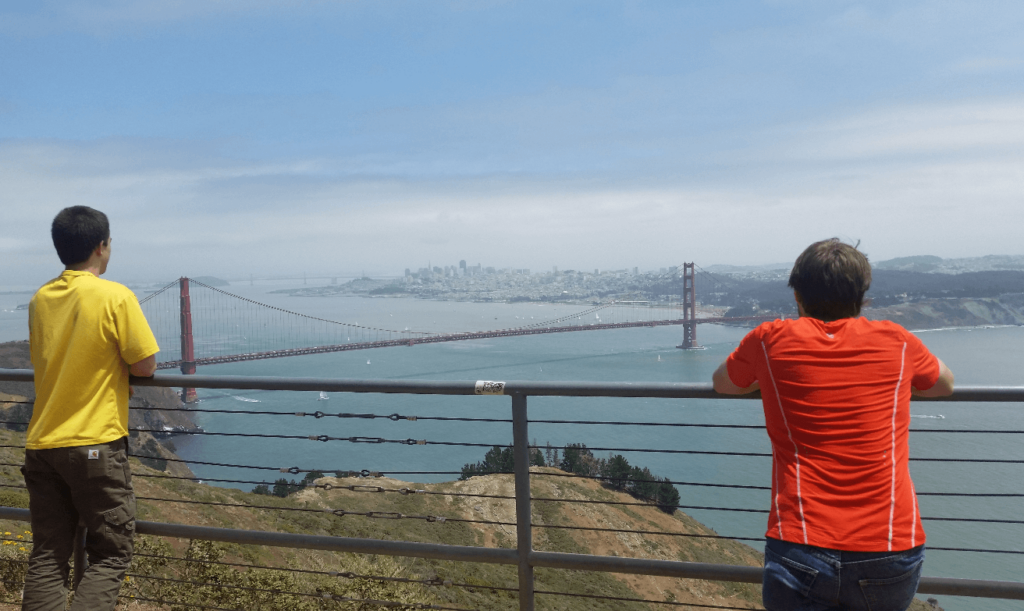
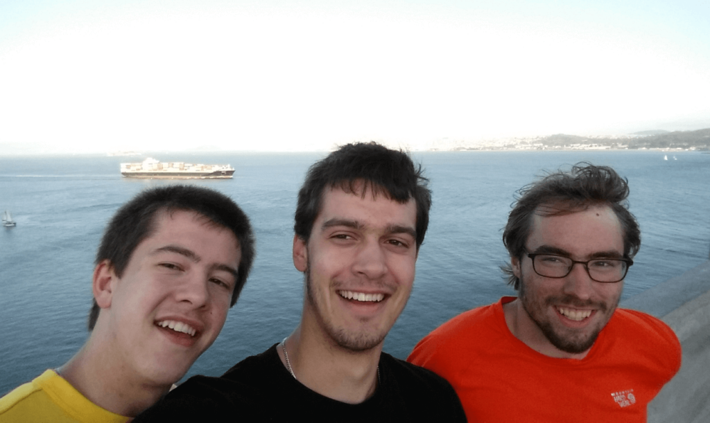
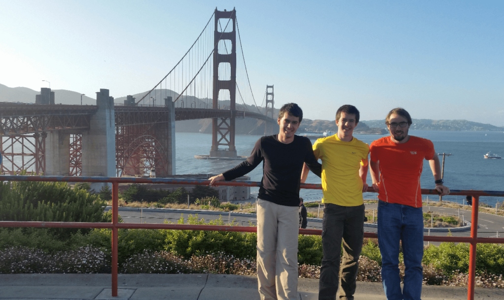
Fr. John then led us north from Half Moon Bay on Highway 1 to San Francisco. We stopped for some touristy pictures at the south side, and then walked across the bridge while Fr. John drove his vehicle across. It was such a cool experience to walk the whole way across! He picked us up on the other side and took us up to the Marin headlands, which gives a gorgeous view of the bridge and the San Francisco skyline. He then took us back across the bridge and into San Francisco proper. We drove through Chinatown, saw some of the huge cathedrals, and had a blast seeing such a crazy city.
When we got back to Cupertino, we packed up and again headed out of town across the Golden Gate Bridge. We up Highway 1 as far as we could, trying to find somewhere free to camp- not an easy thing on one of the most popular highways in the US! Slightly delirious from a long day, we pulled into a gas station to find some dinner, unable to find a spot to camp yet. We all found when we got back to the car that none of us had bought “dinner” food- just gas station candy and soda! I mimicked Yzma in the Emperor’s New Groove saying “It’s dinner time!” and we all lost it. We were crying with laughter for at least 10 minutes before we could compose ourselves and continue driving north.
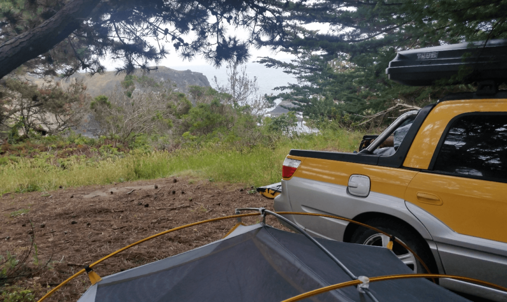
We did finally find a place to camp after another hour or two. It was really just a pullout on the side of the road, but it was pitch black and as long as we were up by sunrise, we were sure to be fine. We had a great night’s sleep and woke up to the sounds of waves crashing. We’d had no idea last night that we were so close to the ocean- a cliff down to the shore was less than 20 feet from where we’d parked! We climbed down to the shore and saw some seals or sea lions lounging on the rocks. They slipped into the sea as we got closer.
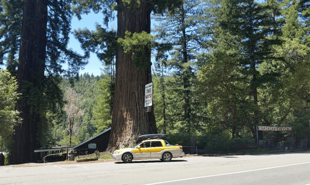
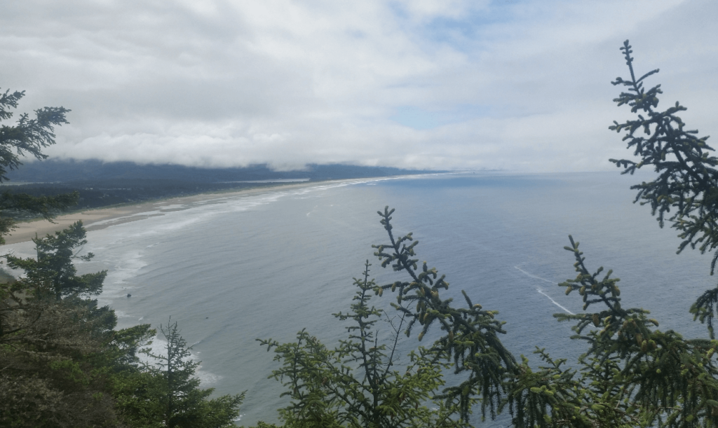
We were kind of amazed at how sparsely populated Highway 1 was- as we drove north that day, we barely had any traffic and didn’t pass any towns larger than what seemed like a few hundred people. We took several small detours through redwood groves, which I loved. Mike and Joseph got a bit tired of stopping for every single one, but I just loved the giant trees.
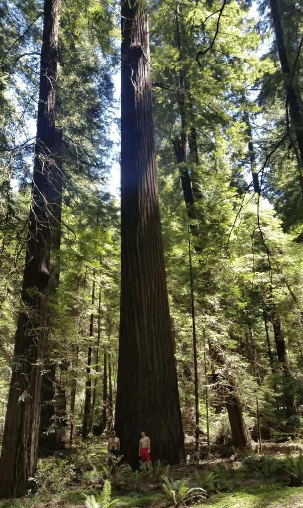
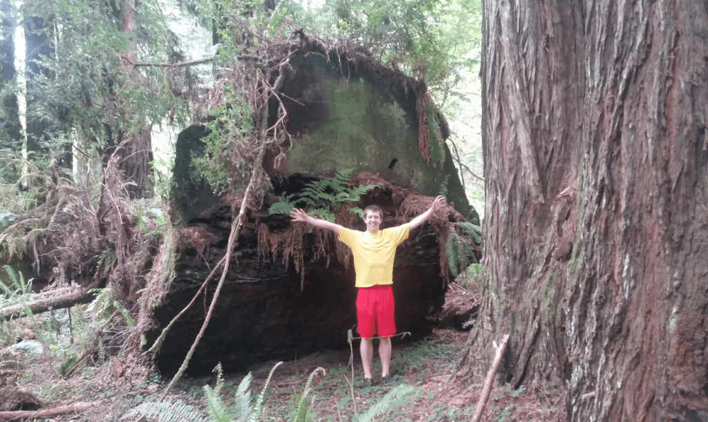
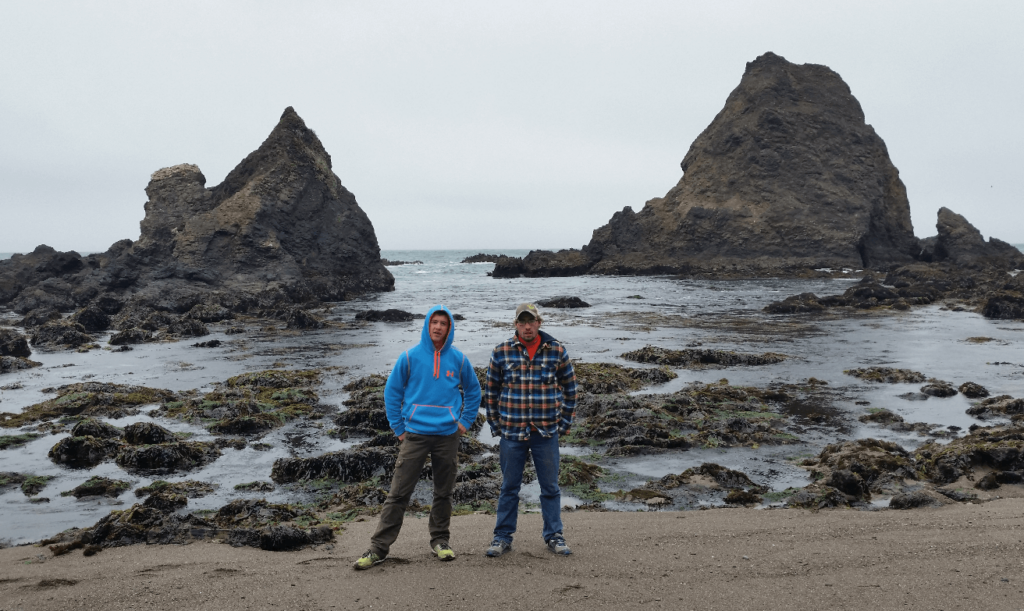
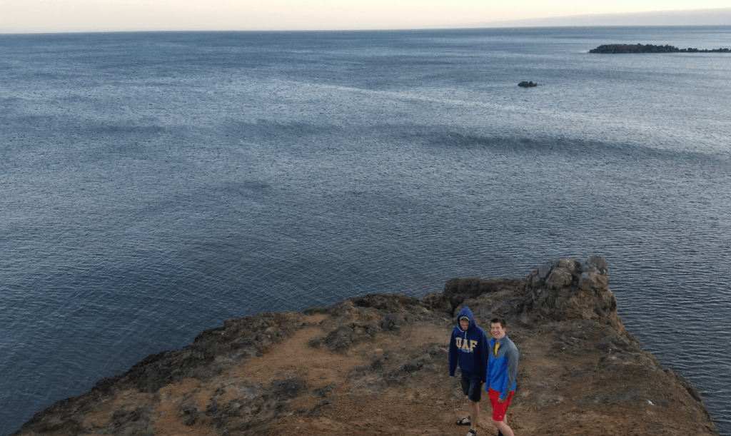
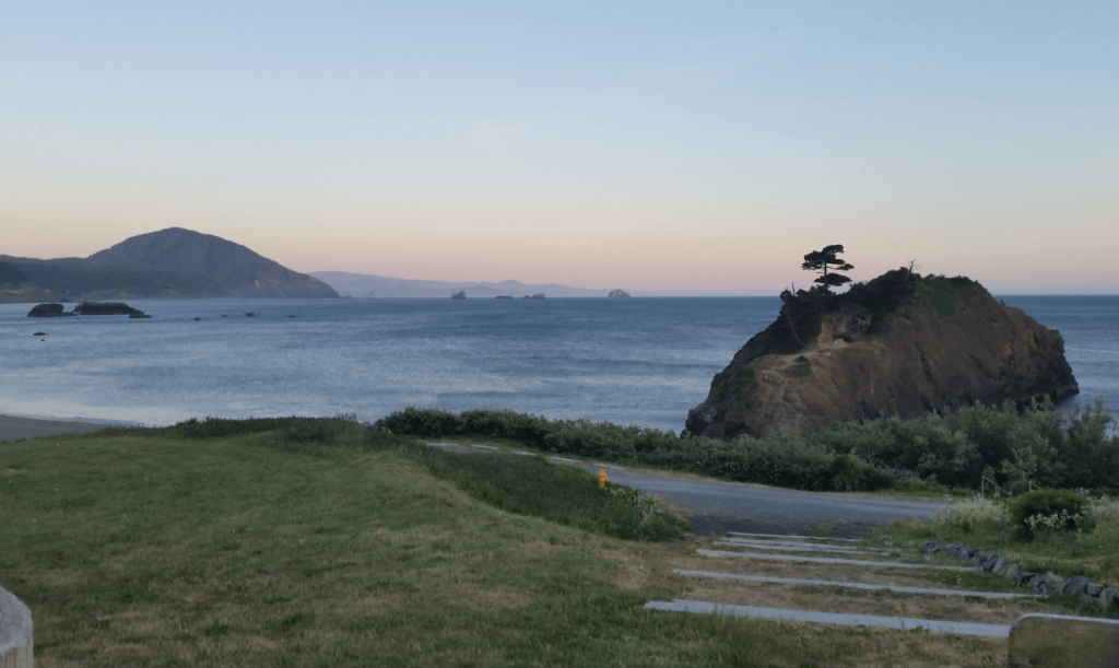
As we went further north, the redwood groves and hills dwindled away to pine forests and more open views of the ocean. We had a crystal clear day and the weather was perfect. The seamounts on the coast were just beautiful.
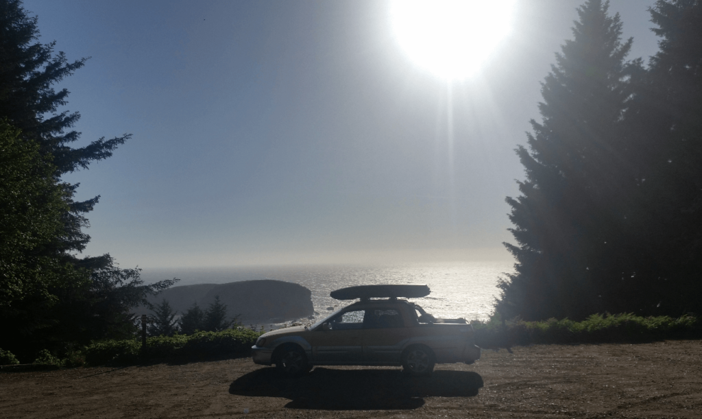
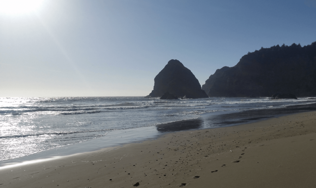
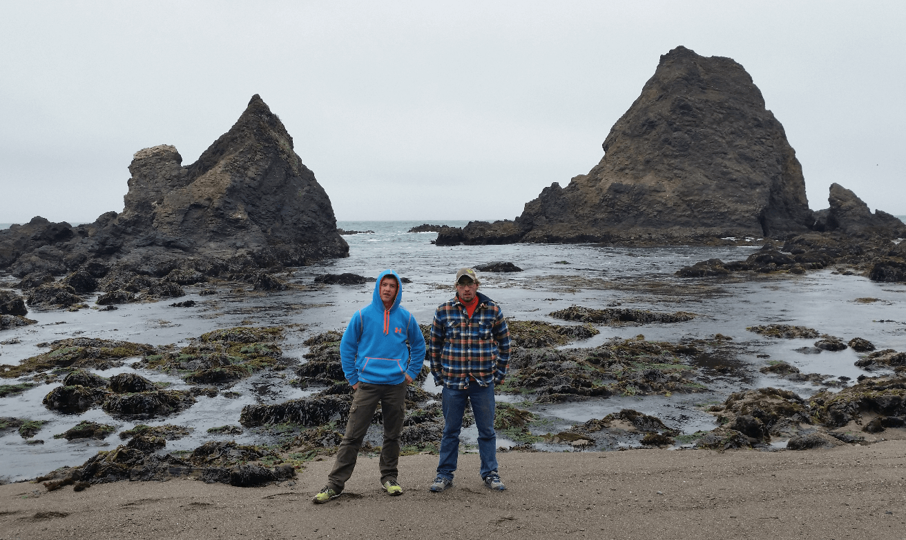
We stopped to explore one of these seamounts- there were these really cool criss-cross waves, and rocks right next to the shore that were easy to climb around on. We spent an hour in the sun, enjoying the sea air, wind, and waves.
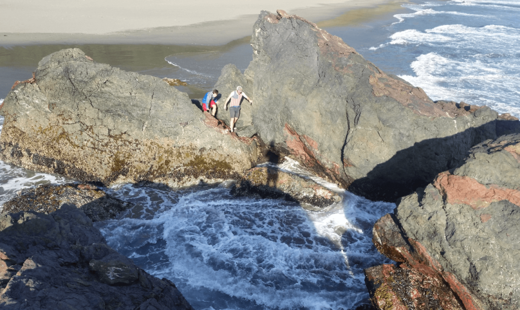
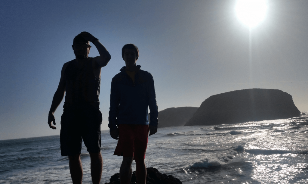
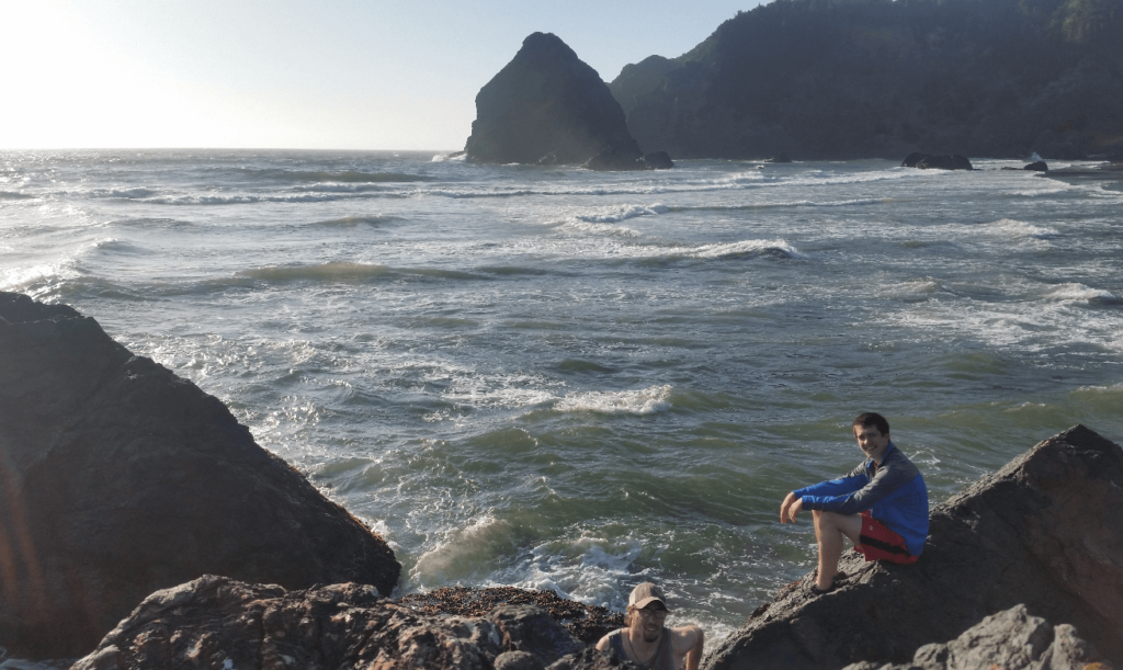
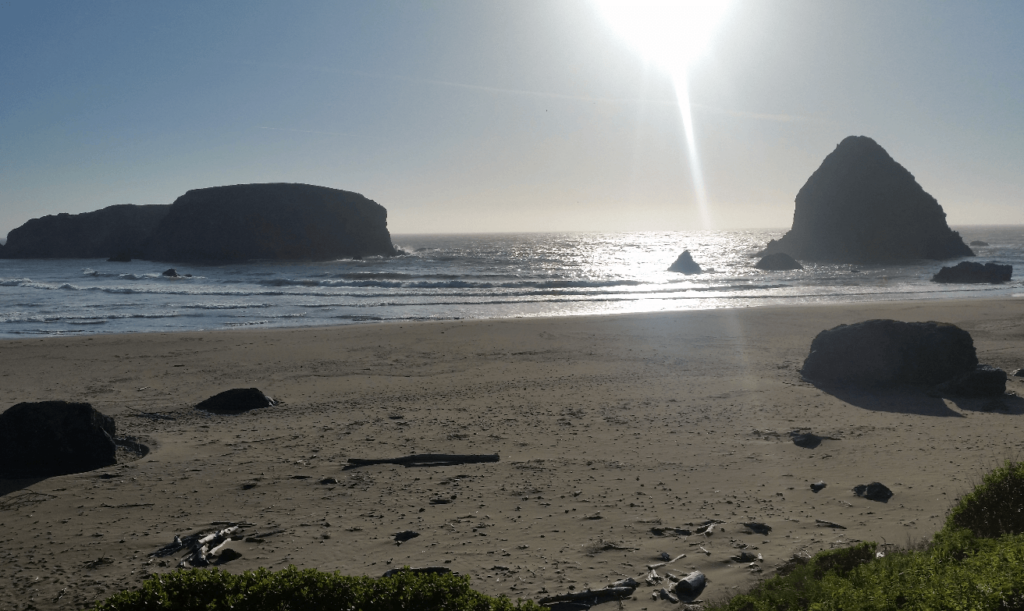
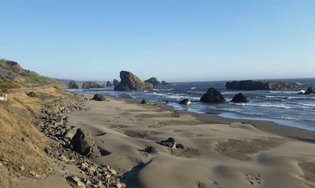
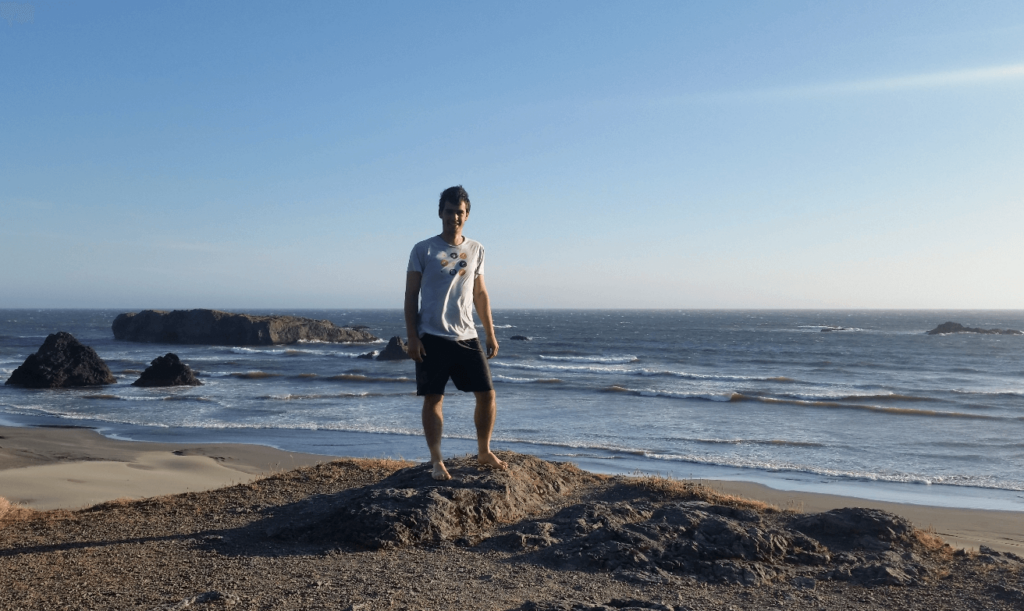
Further up into Oregon, we found another batch of Seamounts. One of them was especially large, with a great view up and down the coast. It was called Battle Rock, which has an interesting history- although it is unknown what exactly happened, in 1851, it seems that the Native Americans got pissed off at some European settlers, and the settlers holed up on top of the rock for a few days to a few weeks. No one knows what really happened, but the idea of spending more than a few hours on the rock outcropping sounds miserable to me.
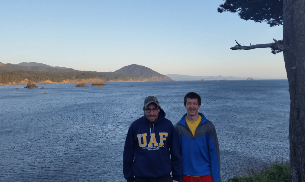
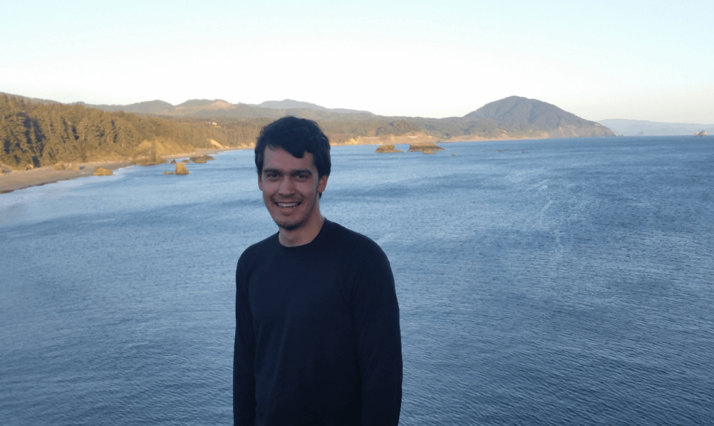
We camped off to the side of the road some distance further, again in a small pull-off after it got dark. The next morning, we drove further up the coast to Astoria, where we drove across the Astoria-Megler Bridge, the longest truss bridge in North America. As we were tired of slow progress on Highway 101 as it got less scenic, we drove back south across the bridge and inland to Longview. We stopped in Longview and Mike introduced Joseph and I to Five Guys burgers, which were incredible. We didn’t want to take the time to sit down for lunch, so we kept driving. Five Guys burgers are notoriously messy, so Joseph and I had to help Mike keep his burger together. We had a comical time trying to help Mike not get burger all over himself- the burgers are definitely a two-handed affair.
We drove north from Longview on I-5, making good progress up to Seattle. We resupplied on food and water in Tacoma, and continued driving north as the sun set. We crossed the border into Canada at Blaine, and drove north through Vancouver. Vancouver was a gorgeous city, even though we only saw it at night. Lots of beautiful bridges, interesting downtown, and lots of exotic sports cars everywhere! It is the only big city I’ve ever wanted to spend more time in.
We drove northwest out of Vancouver and on up the coast of Howe Sound. Mike had some summer school homework to submit (he took Calc 3 in the summer to get ahead), so we got a cheap hotel in Squamish. I think the hotel must have been built with differently sized people in mind- the shower couldn’t have been more than 6′-6″ tall and the shower head came out at about chest level!
The next morning, we drove north past Whistler to Lillooet. The road was beautiful and wide open. We really enjoyed Marble Canyon, which has farmland halfway down the canyon on a bench before plummeting to a narrow gorge.
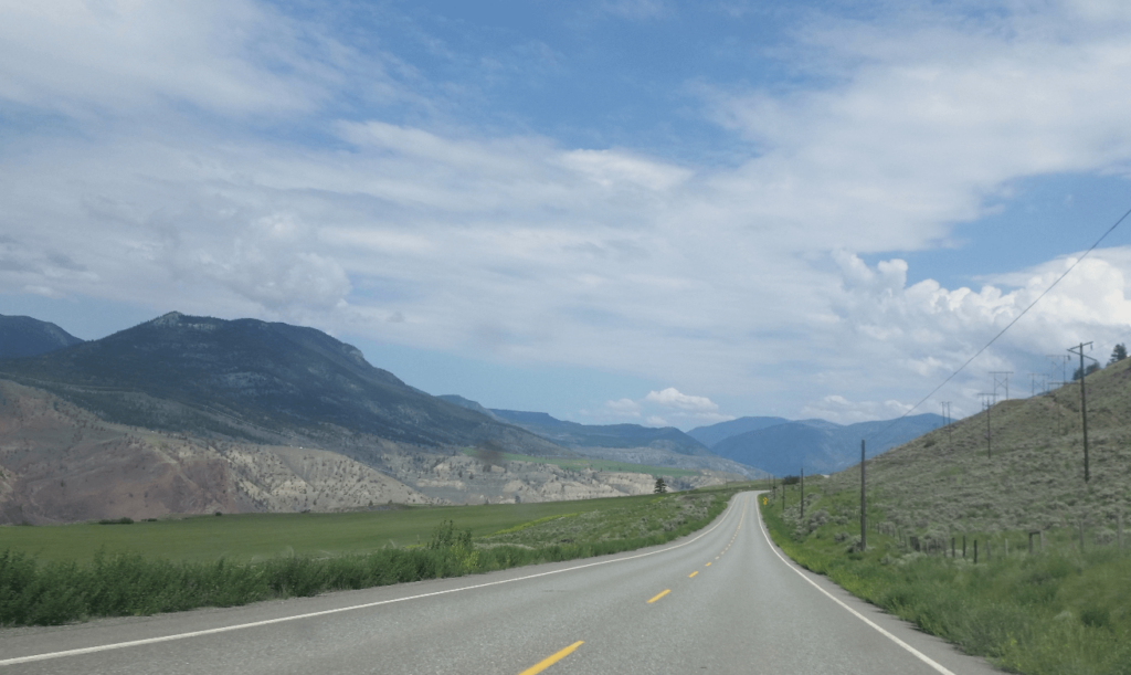
Turning north up Highway 97 to Prince George, we didn’t really stop anywhere. Like much of British Columbia’s flatlands, there is not much to see other than the endless forests. In Prince George, Mike stopped at a liquor store- the drinking age in British Columbia is 19! He purchased a few cheap fruity beers, as well as a 4-pack of Guinness. We left Prince George headed west on the famed Cassiar Highway.
We stopped somewhere along the way and drank the cheap beers, saving the Guinness for dinner. We cooled them off in a river as we were fixing lunch, almost losing several of them downstream! Thankfully we collected them all and had a great riverside lunch. As evening set in, we started looking for camping, but we had an unusually difficult time, even with how unpopulated the area is. The trees were just so thick, and we still weren’t as good as we are now at finding the right back roads that are likely to lead to a quiet place. We drove a ways up a very narrow and overgrown old mining or logging road, but had to turn around as the mosquitoes were horrific.
We finally ended up in a pullout, yet again, just north of Kitwanga. We resorted to making mac and cheese in a jetboil. Our plastic forks were no match for the hot water, and we didn’t want to scratch up the coating on the inside of the jet boil pot, so we cut a stick to use as a stirrer.
After dinner, we wanted to pick up where we left off at lunch with the Guinness. Unfortunately, we had put them in the black rocketbox on the roof rack, which had been baking in the sun all day. We were disgusted to find that they were all warm! It was too late to go find a river to cool them off in, and, well, we wanted them now. I had a sip and spat it out. Mike had a few sips and had to give up. 17 year-old Joseph had a sip, and then CHUGGED the entire thing! I think it may have been his first beer ever, and he chugged a piss-warm Guinness. Major props.
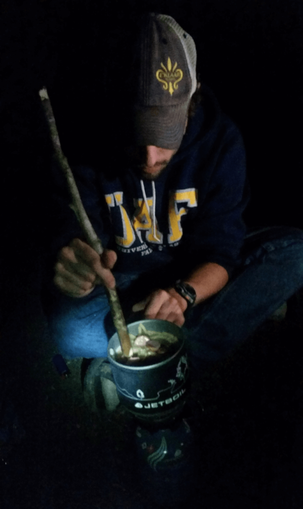
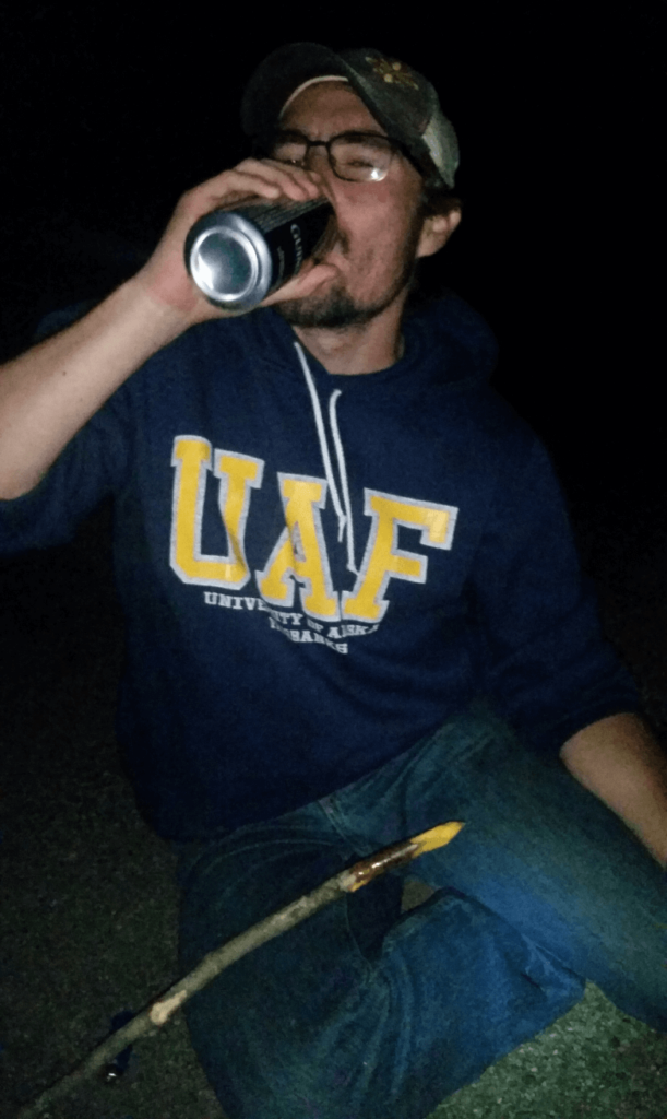
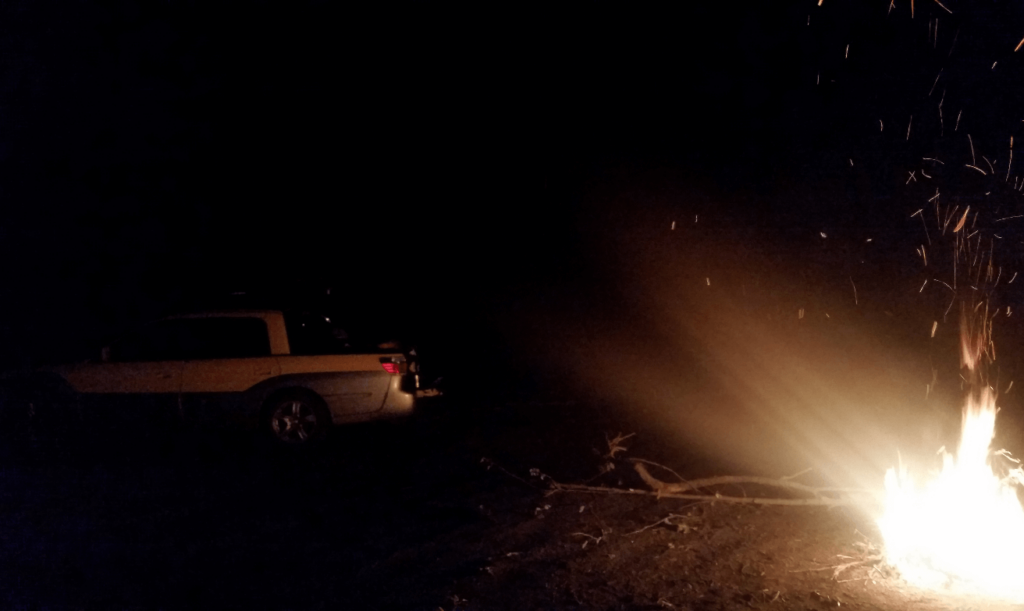
We made a big bonfire in the middle of the pullout, in full view of traffic, but only one or two trucks went through. We stayed up late enjoying our second to last night on the road.
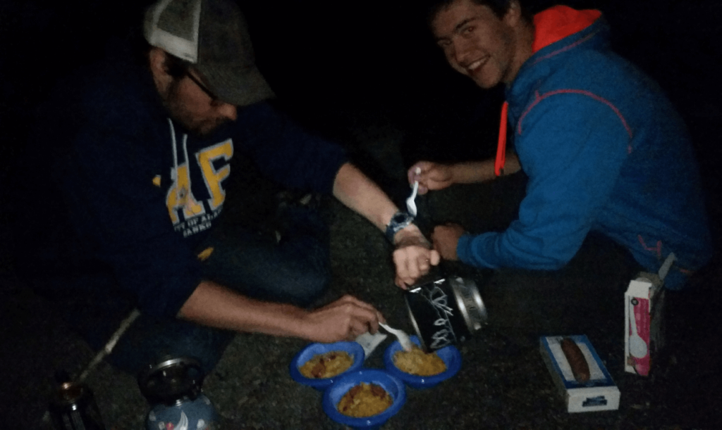
The next morning, we slept in a bit, but the semi trucks going by finally got us out of bed. Today would be a very long driving day- we drove from just north of Kitwanga to well past Whitehorse. The Cassier Highway is very scenic, but doesn’t have much in the way of “roadside attractions.” We just enjoyed the views and drove on. We got our last taste of Tim Horton’s in Whitehorse (the iced cappuccinos were a favorite), and also walked around a bit of Miles Canyon. For dinner, we got some pizzas from somewhere in town and ate them in view of the SS Klondike in a beautiful city park.
The highway north out of Whitehorse is riddled with frost heaves, and Mike had some indigestion from the pizza (among other things). As he took a nap in the back seat, every frost heave was met with a new wave of flatulence, even though Mike was fast asleep. We were all exhausted after almost 2 weeks on the road, so we let him sleep, though we did have to leave the windows open to air out the interior of the Baja.
We camped somewhere between Whitehorse and Haines Junction, down a nice dirt road and in the middle of a forest. It was one of the best campsites of the trip. We had a great fire that night, and watched for the grizzly bear we’d spotted 10 miles before we’d made camp.
The grizzly did not appear and we had a great night’s sleep. We geared up the next morning for the final push to Anchorage. The area between Haines Junction and Beaver Creek is beautiful- mountains, glaciers, lakes, and broad braided riverbeds. The border crossing back into Alaska was easy- I love hearing the border guards say “welcome home.” We had to readjust to the signs saying “MPH” instead of “KM/H” and readjust to gas prices being in USD/gal instead of C$/L. The trip home was uneventful- we pretty much drove straight through all the way to Anchorage, stopping for little more than the bathroom and to fill up with gas.
This was a fantastic trip- really the trip that made me fall in love with long-distance road tripping. This was definitely the first trip that I had real decision-making power- most other trips were with my parents to pre-determined locations. For this trip, we made our own route, own schedule, own meal times, and really enjoyed being completely independent.
This was my first trip up the AlCan highway, a trip I’ve now done around 10 times. Each time is wonderful in its own way, but this one was the best- it was a trip of true discovery for all of us, and a trip we won’t ever forget.