I’m finding that I’ve forgotten more than I’d like about this trip- here’s what I do remember!
After my freshman year in college, Mike Wise, my brother Joseph, and I wanted to do another epic AlCan road trip after our first trip the year before. Instead of going south through the desert as we had the year before, we chose to go north from Laramie.
We planned very little on this trip- we just knew we wanted to go through Yellowstone, Glacier, Banff, and Jasper National Parks. Beyond that, we had no particular schedule or plan. After our spring semester at college, Mike and I drove down to Denver together to pick up Joseph, and we stopped to visit our cousins and their new puppies in Broomfield on the way back up. That afternoon and evening, we moved Mike’s things into his new place and also put the contents of my dorm room into Mike’s new place until the fall semester.
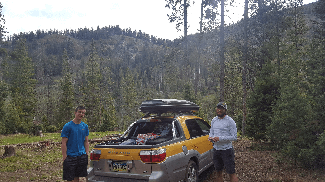
We finished up moving things late the next morning and headed out on May 16th, 2016. We drove west on I80 and ended up on State Highway 191 headed towards Jackson. We camped somewhere south of the highway on a forest service road near Bondurant. We were all so excited for another trip up the Alcan, and had a huge bonfire that night.
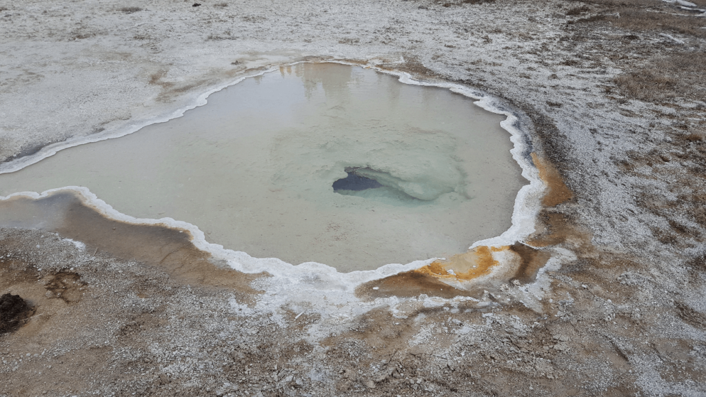
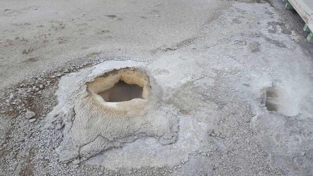
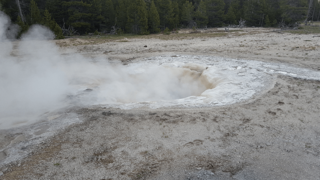
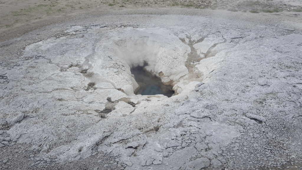
We got up early that morning as we had plans to explore as much of Yellowstone as we could in a day. We sped right past Jackson and Grand Teton National Park, and sped right into Yellowstone. We made a beeline for Old Faithful, but we had just missed an eruption. No matter, we only had to wait 45 minutes or so for the next one. We wandered around the hot springs north of Old Faithful, and unsurprisingly, the density of people went way down the further away we got.
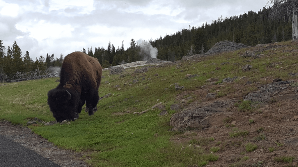
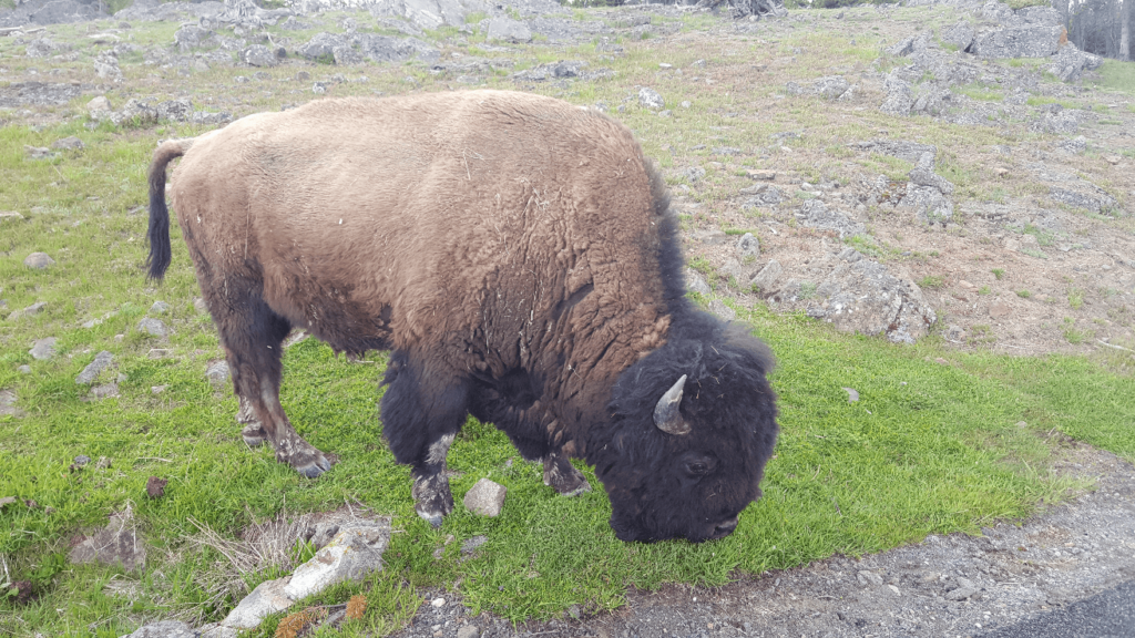
We ran into a lone buffalo wandering around nearby, and without meaning to, ended up quite close to it.
With 10 minutes or so to go until Old Faithful was scheduled to go off, we grabbed a spot on the observation benches. People seemed to materialize out of nowhere, and after having most of the other springs to ourselves, there were at least a hundred people around by the time the eruption went off. I wouldn’t say it was underwhelming, but we didn’t think it was overwhelming either- it was a single jet of water that went nearly 100 feet in the air, then bubbling water out of the spring afterwards.
We made our way back to the Baja in the Old Faithful parking lot, and to our horror found that a swarm of crows had ransacked the food we had left in the bed- out of an entire package of 66 granola bars, only two remained intact. Embarrassed at our oversight, we cleaned up the wreckage as best we could and skedaddled out of there. Our rallying cry for the rest of the trip was “F@$% BIRDS”.
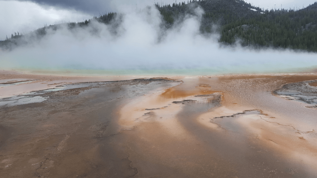
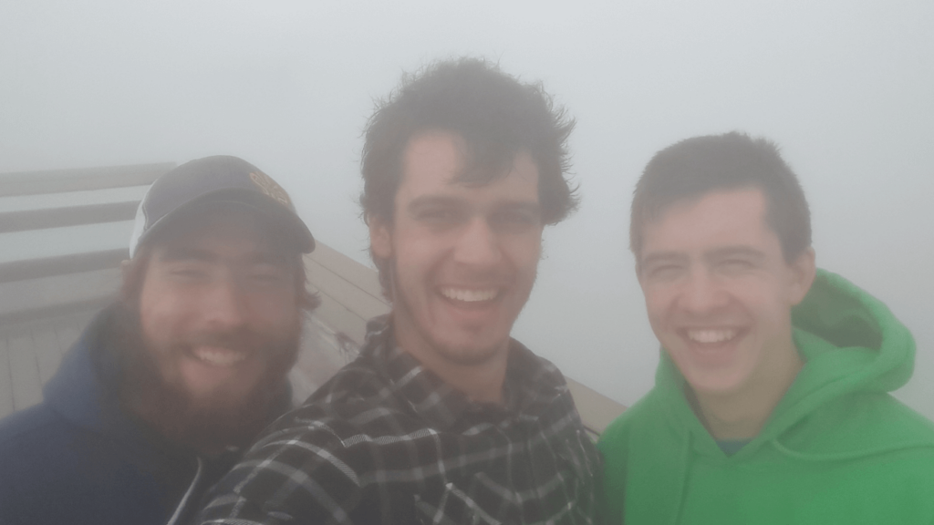
After Old Faithful, we moved along to the Grand Prismatic and Excelsior pools. Despite an incredible amount of fog/steam coming off Grand Prismatic, we had a great time here. The fog was so thick that it would condense on our hair and clothes- we were soaked by the time we were done! We weren’t ever able to see all the way across Grand Prismatic, but we saw enough of it between the fog to get a sense of how huge and colorful it is.
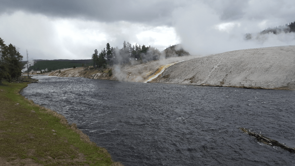
This area was our first experience with tourists from Southeast Asia- several tour busses full of them were dropped off as we were on our way out. We found them to be incredibly rude- they would walk right down the center of the boardwalks without giving way to someone walking in the opposite direction. This would repeat at other stops around the park as well.
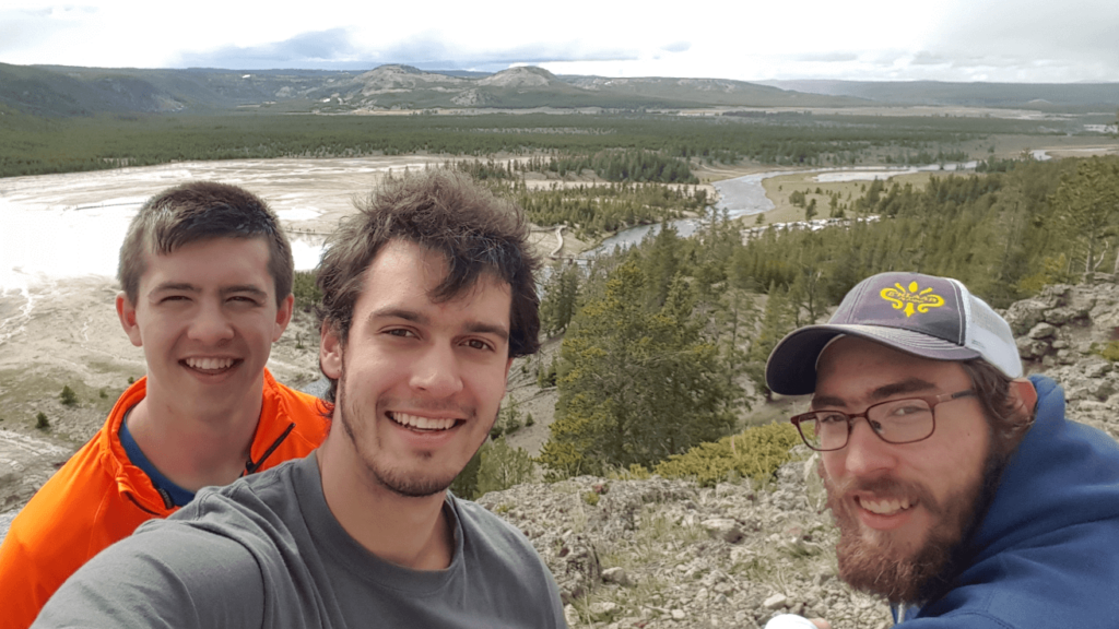
After pushing our way back to the parking lot through the hordes from the tour busses, we saw a hill on the other side of the road that looked like it would present a great view of the whole valley. After scrambling to the top, we had a wonderful view with no one else around. It was interesting seeing how concentrated the fog from Grand Prismatic was- it disappeared quickly after moving a short distance away from the pools.
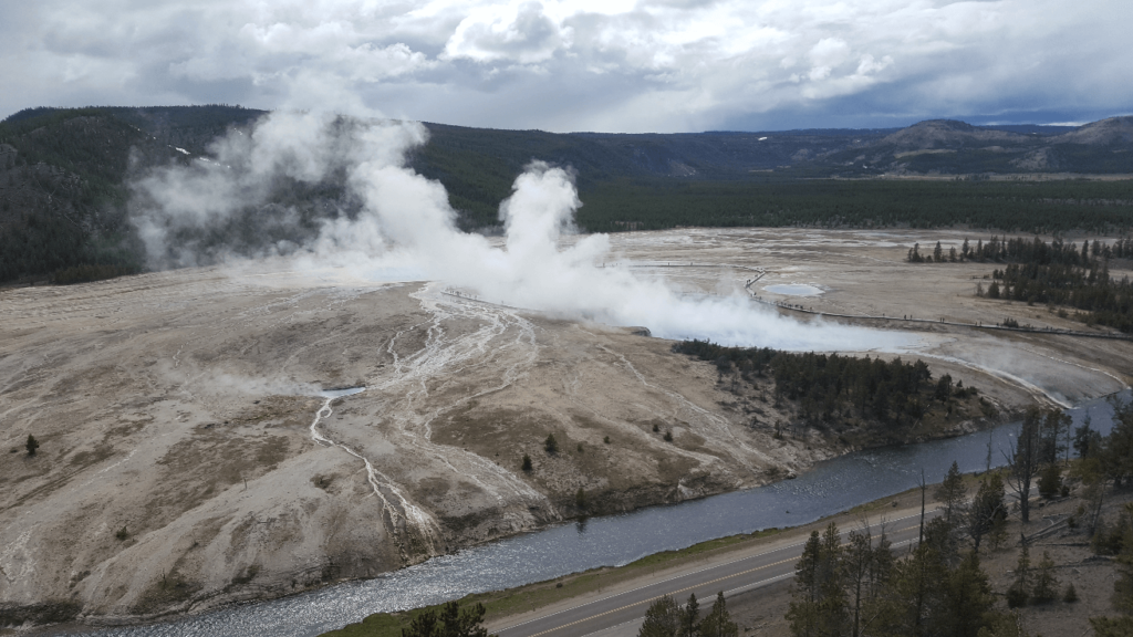
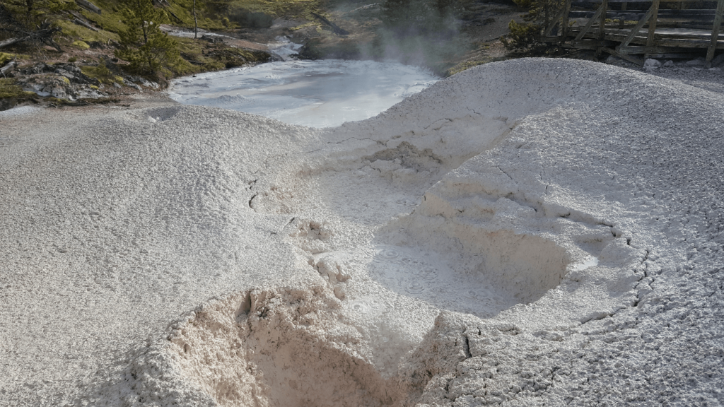
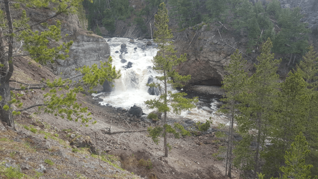
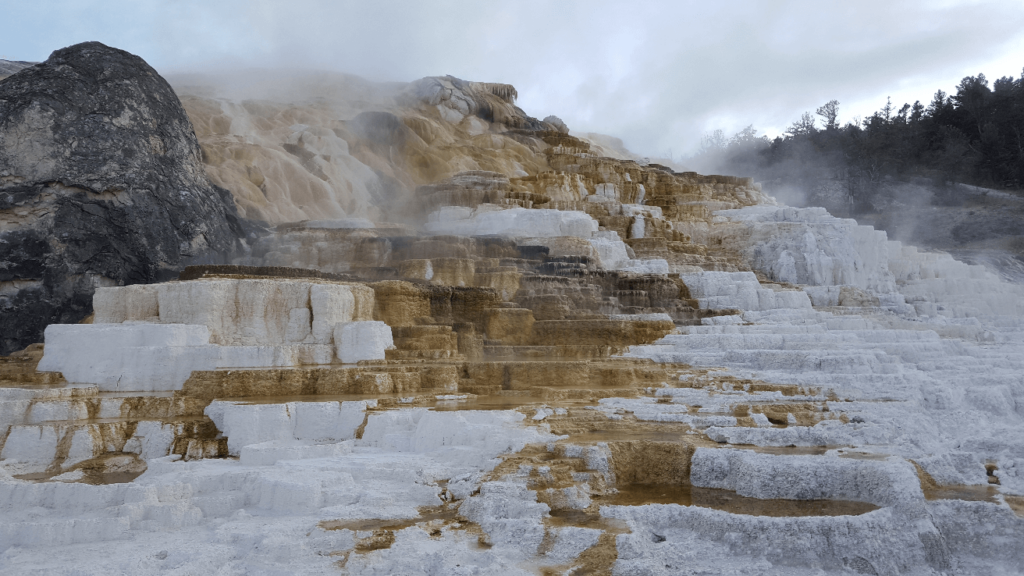
Moving further north through the park, we stopped at other smaller features such as the mud pots, obsidian cliff, and Firehole Falls. I could have watched the mud pots bubble for hours- it was fascinating. A gentleman at Firehole Falls noticed our yellow Baja and offered to show us a video he had taken of the ravens pillaging it back at Old Faithful- we politely declined. We stopped for a while at Norris Basin, the home of some very explosive but intermittent geysers. We unfortunately didn’t see any erupt, but the area is definitely worth a stop. We stopped at Mammoth Hot Springs briefly, and marveled at how delicate and beautiful the travertine pools were.
Mike’s friend Jay grew up in Mammoth, right next to the eponymous hot springs- his father worked for the park service. We stayed with Jay’s family for the night, and enjoyed a great view out of his living room window:
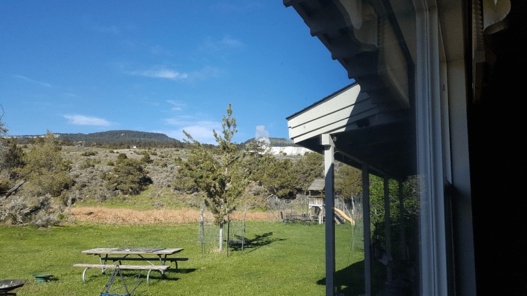
After an amazing dinner of enchiladas made by Jay’s mother Juanita, Jay took us around some of the more hidden areas around Mammoth Hot Springs. We got to see the springs and travertine deposits taking over the forest in real time!
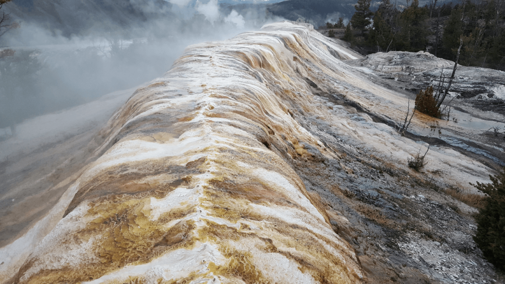
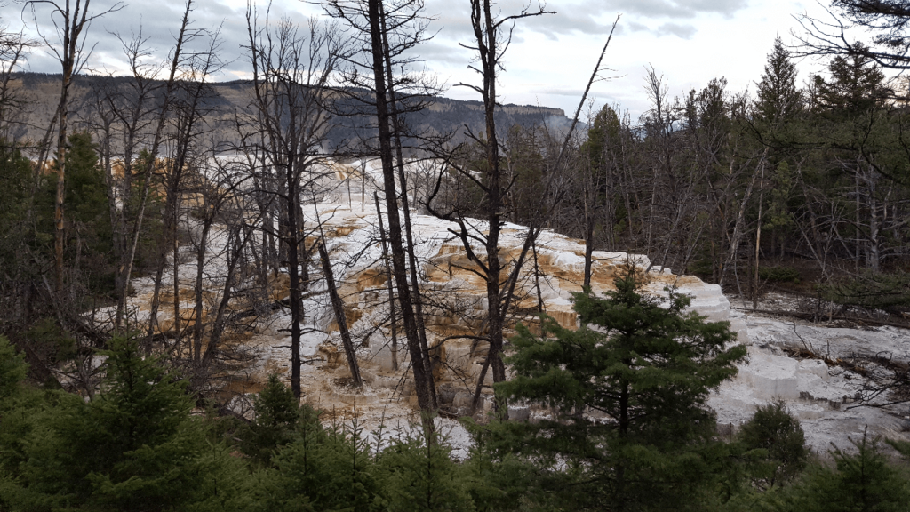
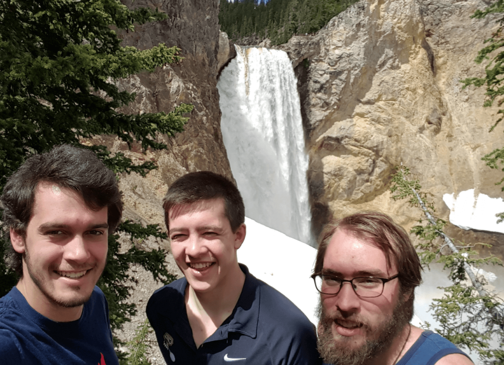
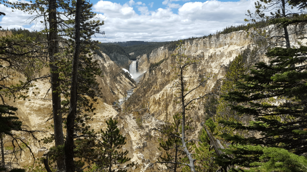
The next morning, we set out to explore the eastern side of the park, after exploring the western side the day before. We drove south past Tower Junction, and spent a long time around Yellowstone Falls and the Grand Canyon of the Yellowstone. We really enjoyed Uncle Tom’s Trail, which goes down 328 metal stairs to give a view level with the falls. Even better, very few other tourists seemed to want to climb down 328 stair steps. I couldn’t find any current maps showing the trail, and I was sad to find that as of 2019, the park has closed the trail and has no plans to open it up again. It hasn’t appeared on any park literature since 2019.
If I’d had a “real” camera for this trip, I would have spent a lot of time at Artist Point. The view was incredible and framed by lots of pine trees. Next time!
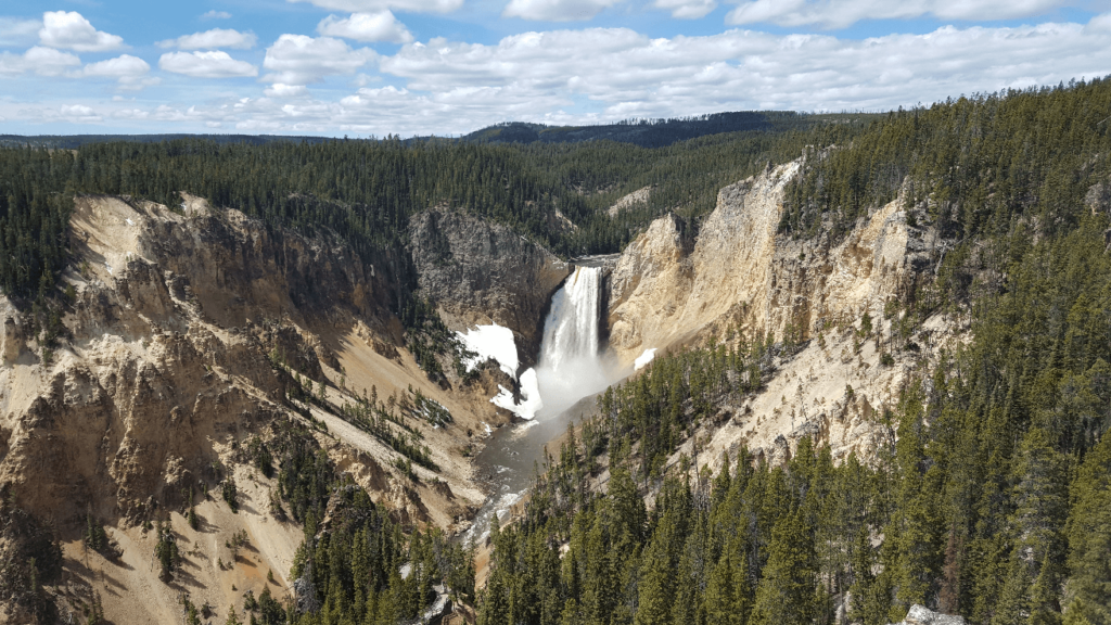
After Yellowstone Falls, we drove south to Yellowstone Lake, stopping at any roadside attraction we saw. Many of the park service information signs mention that “thermophiles”, or organisms that thrive in high temperatures, live in the springs. It had become a running joke yesterday, but it became more of a joke today as every single sign at any thermal feature mentioned thermophiles. I think Mike and Joseph got a little annoyed at how I wanted to read every single sign, even though they all explained in various terms how thermophiles lived in the springs.
We drove as far up to Sylvan Pass as we could before being turned around by snow and a closed road. Even in mid-may, all the roads had not yet been plowed out yet! Having seen all we could without a great deal more of time invested, we headed back north through Mammoth out of Yellowstone. Passing through Bozeman, we stopped to pick up a mountain bike that one of Mike’s friends had asked us to bring back to Alaska. Driving north from Three Forks, we were pleased to discover we again on Highway 287, which runs right through Laramie, all the way back in southern Wyoming. We would follow 287 on and off all the way to Choteau, from where we went to Browning, on the Blackfeet Indian Reservation. We stopped in the gas station there and found ourselves to be the only non-locals there- we felt a bit uncomfortable, but everyone was friendly.
Heading west from Browning, we came to the beautiful St. Marys, which is the eastern portal to Glacier National Park. We had hoped to drive up and over Going-to-the-Sun road, but as with Yellowstone, the road had not yet been plowed out. We decided to still drive as far up as we could- and we were glad we did!
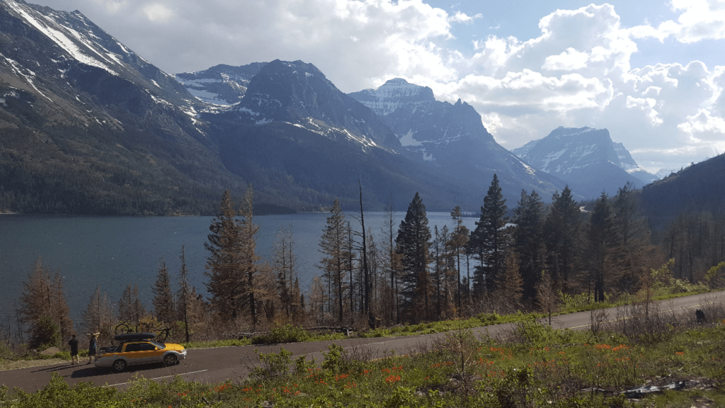
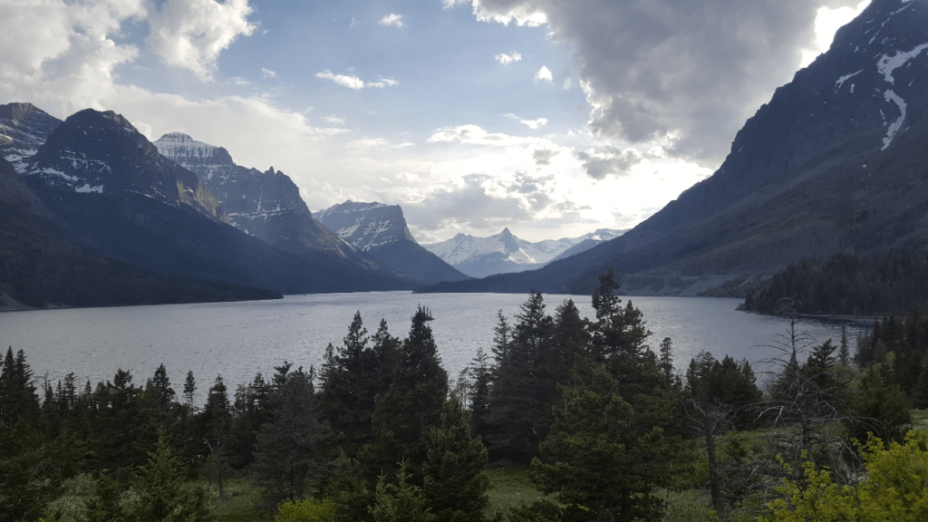
We stopped for a small hike on the north side of the road, but we weren’t rewarded with views any better than those from the road. With the day pushing on, we had to start looking for a campsite. We decided that we would like to try to drive up the other side of Going-to-the-Sun road, so we headed south back through Kiowa. We’ve been unable to pinpoint where exactly we camped, but it was somewhere near Bison or Summit south of the highway.
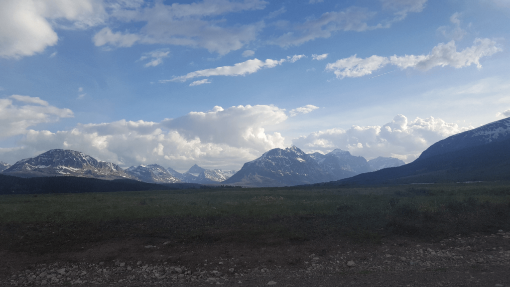
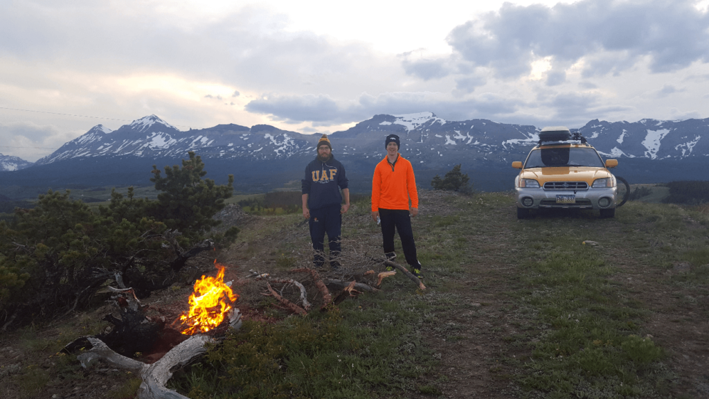
Our campsite was exquisite- amazing views, plenty of firewood, and out of sight of the main road. We stayed up late enjoying the sunset and conversations. As we went to bed, the weather started to get a little worse- it started sprinkling, and the wind picked up. Mike chose to stick it out in his customary tarp in the bed of the Baja- instead of pitching a tent, he just wrapped his sleeping back in a tarp. I chose to pitch a tent, but Joseph was smarter still- seeing the approaching storm, he slept in the passenger seat.
I woke up to noises of the tent flapping and discovered that the wind was so strong that it was blowing over my tent far enough to make the walls come within inches of my face- I think several of the anchors had already been pulled out. It was also raining much harder than when we had gone to bed. Joseph and Mike had already woke up, and we quickly broke camp and got into the warm and dry Baja. Soaked and tired from not quite a full night’s sleep, we trundled back down the trail to the highway, and headed west.
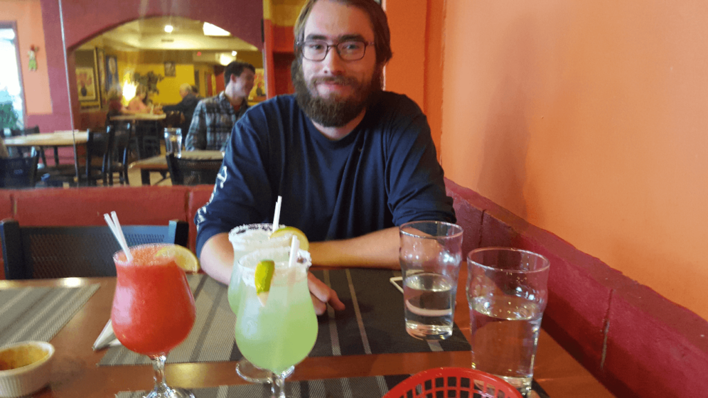
We briefly attempted to drive up the west side of the Park, but the road was closed at an even lower elevation than the east side. There is considerable discussion as to what we did next- I maintain that we crossed the Canadian Border at Roosville, as I have some slight memory of making fun of the name. Joseph and Mike believe that we then crossed back over the east side, and crossed the border at Carway, where we have crossed many times since. Anyhow, we ended up in Calgary later that day, and quickly found a hot meal. Though none of us were over 21 at the time, Canada’s alcohol laws meant that we were all free to enjoy adult beverages. With the day again fading, we headed west towards Banff. We thought we’d have an easy time finding a camping spot, but it was a bit of a struggle. We went down road 742 south of Canmore over 20 miles before we finally found a power line road, but the road was heavily overgrown. The baja was able to push through it, and we had a restful night.
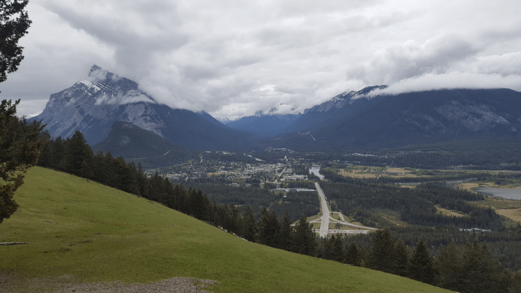
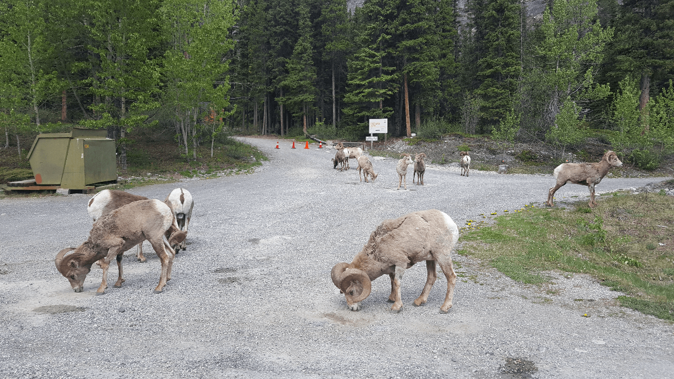
We woke the next morning and hurried back north to the Banff entrance station. The road, called the Icefields Parkway, goes all the way from near the town of Banff to Jasper, through the heart of the Canadian Rockies. There is no free camping for the entire route as it is all through national parks. I’ve never paid for camping and I don’t intend to yet! This meant that we had to do the whole drive in a day, which unless you really do a lot of hikes, is not hard. We battled hordes of other tourists at Lake Louise, stopped along the road whenever we wanted to admire the views, hung out with some bighorn sheep for a while, and this was all before we got to Jasper National Park! We stopped in at Fairmont Hot Springs, hoping that it was like many of the other springs in Canada which are all but deserted, but it is just a resort at the springs and may as well be a swimming pool. On the other side of the valley from Fairmont Hot Springs, we drove up to Mount Norquay, which was much more our speed. The road switchbacks up the mountain, and before we knew it we were looking out over the whole valley.
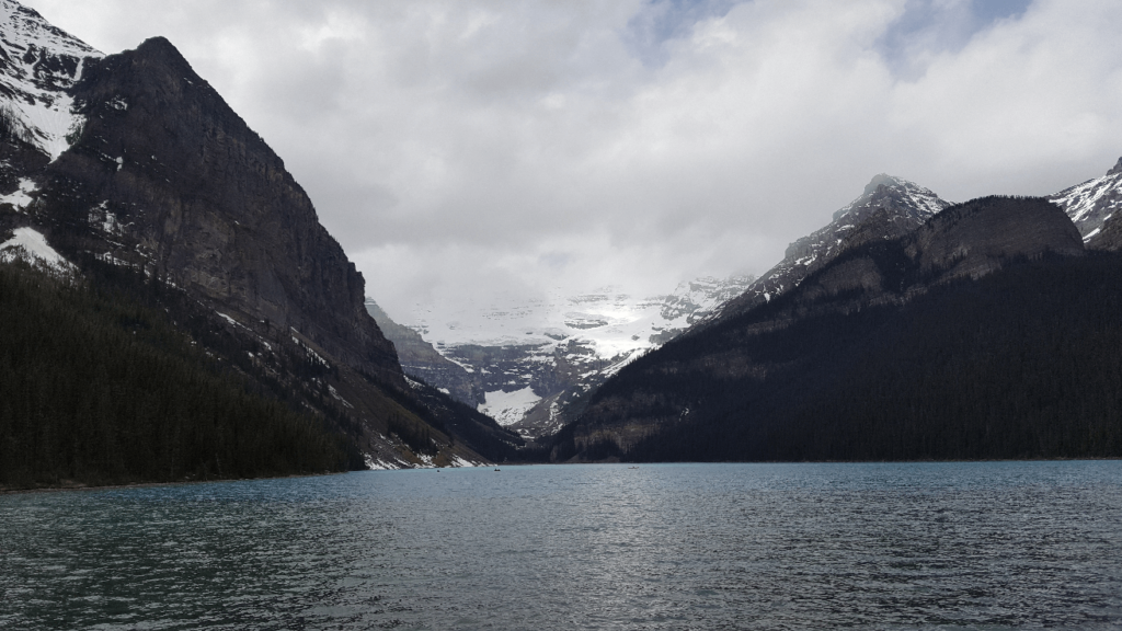
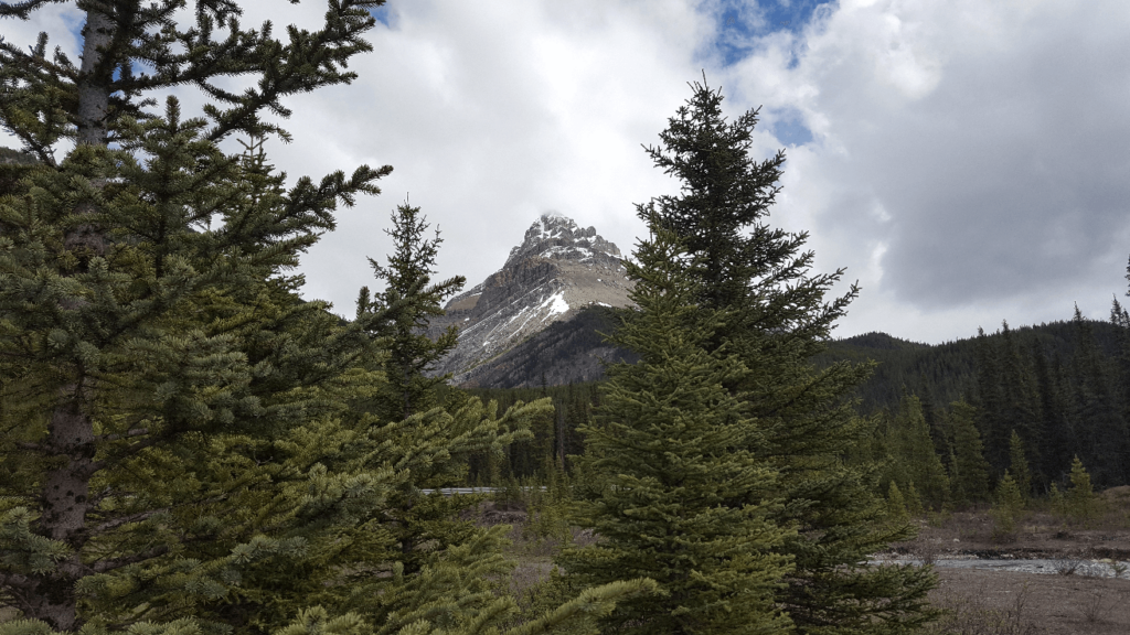
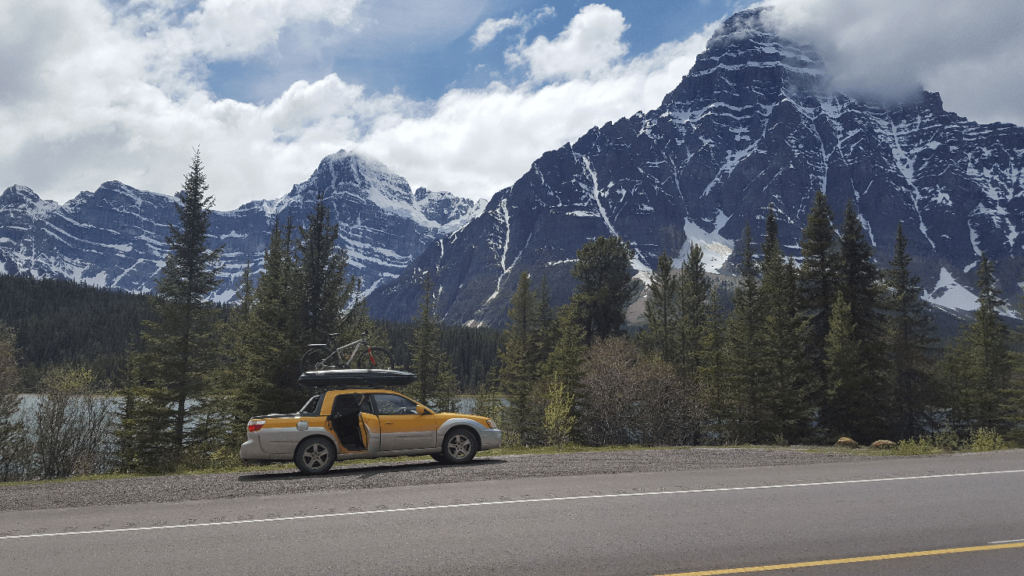
If I had to choose between Banff or Jasper national parks, I’d pick Jasper every time. There are fewer people, better views, more glaciers, and it just feels more remote. Both are absolutely spectacular, but Jasper is just a little bit more spectacular. I think we must have stopped at every viewpoint and pullout.
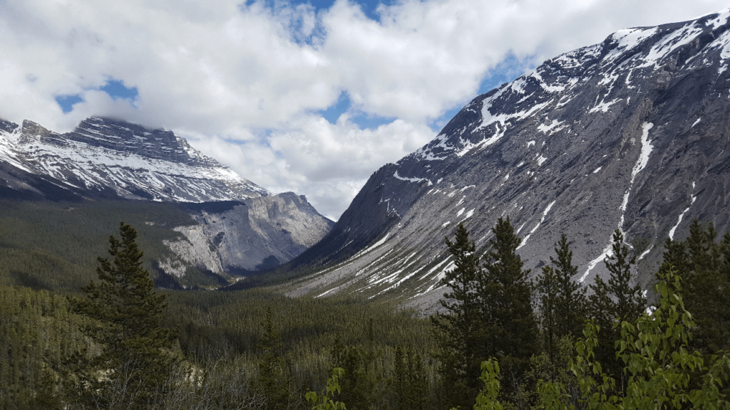
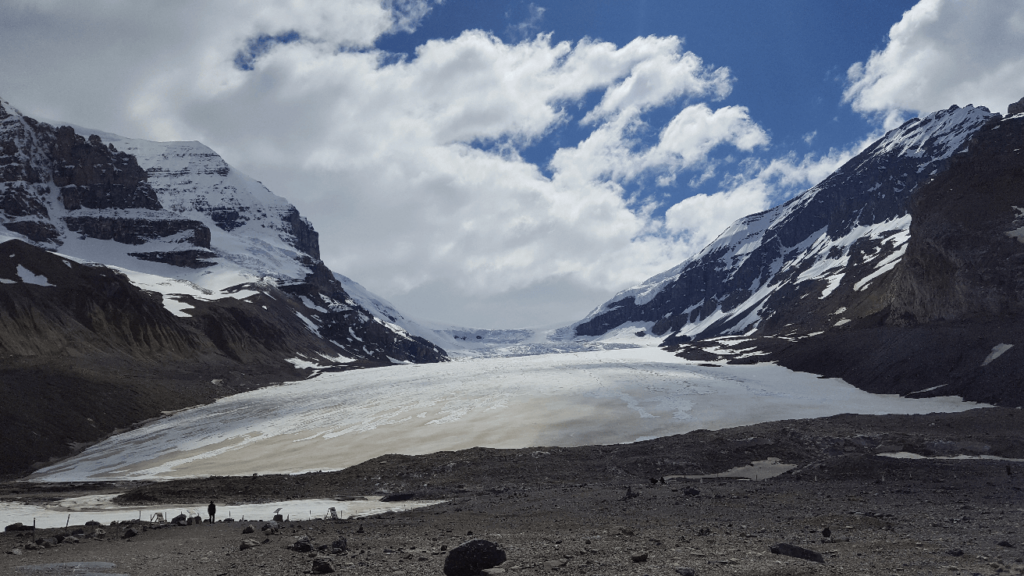
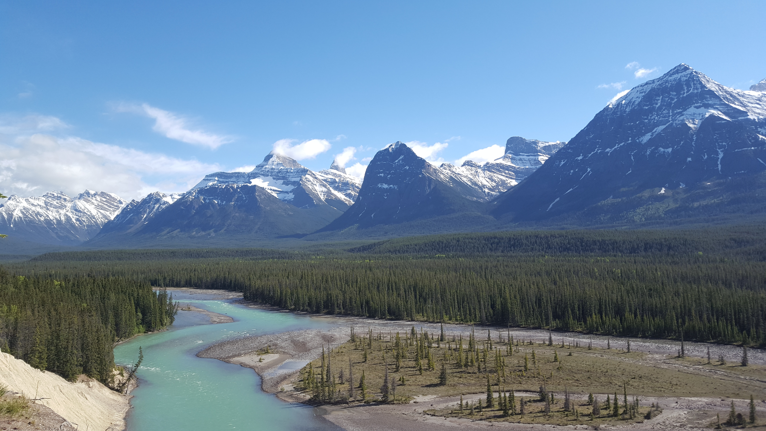
About an hour past Athabasca Glacier, we stopped at what I thought was just any other admittedly gorgeous roadside pullout. We pushed through the trees and found the most beautiful view I think I’ve ever seen, and it is to this day my favorite picture I’ve ever taken. I found out way later that it is called Goats and Glaciers Lookout. It is a must-stop if you are driving through Jasper. We were sad to leave, but the day was starting to get on a bit and we still had to finish the Icefields Parkway and find a camping spot. We stopped at Athabasca Falls for a good while, which is another must-stop. The waterfall is extremely impressive, but what is more interesting is that you can see all the other channels that the waterfall has taken over thousands of years. There are dry channels everywhere, and there are lots of different viewpoints of the falls and the canyon below. We explored the entire area, going to the end of each little trail that we found.
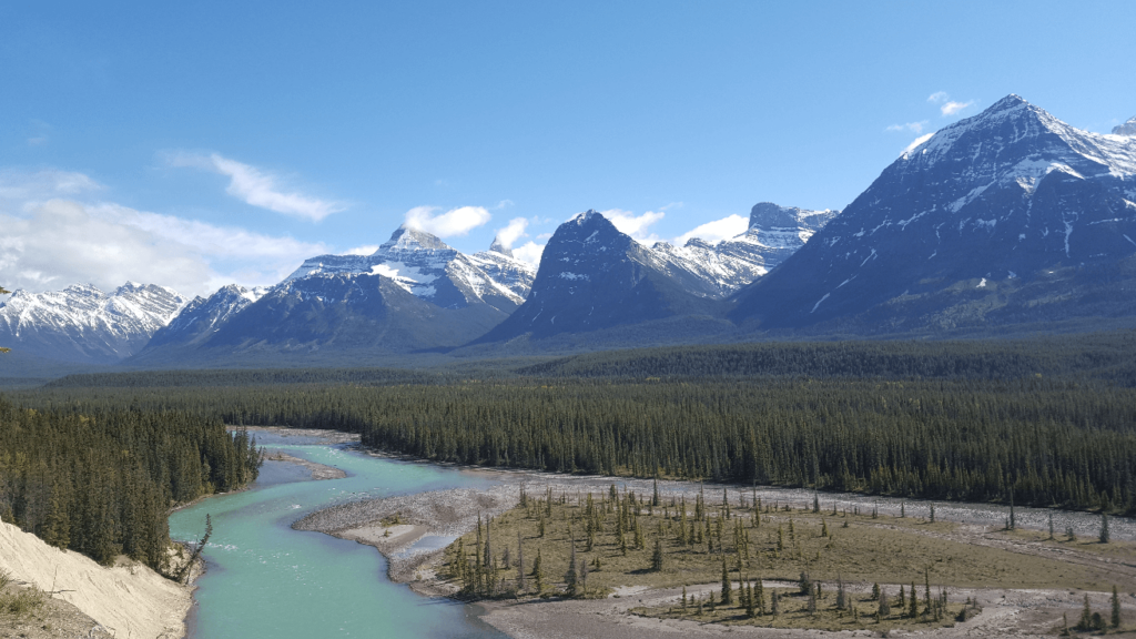
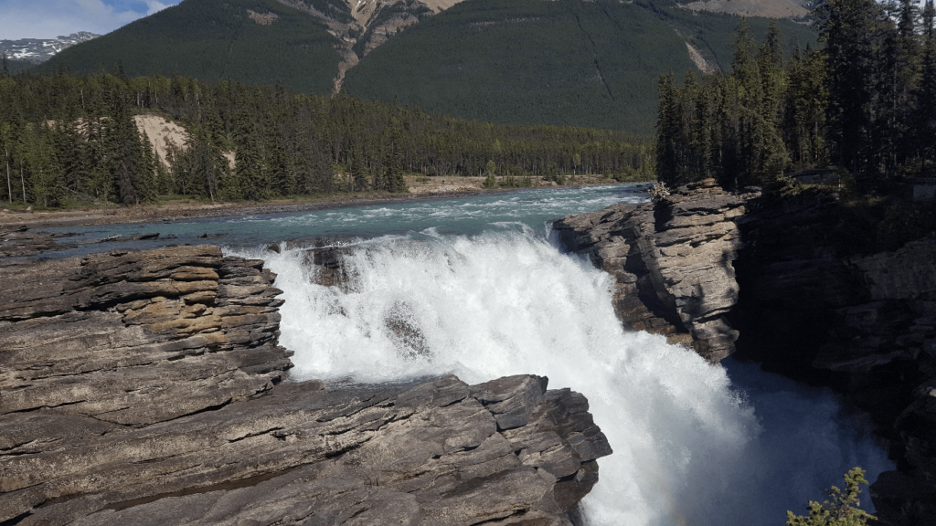
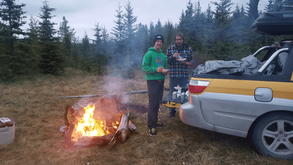
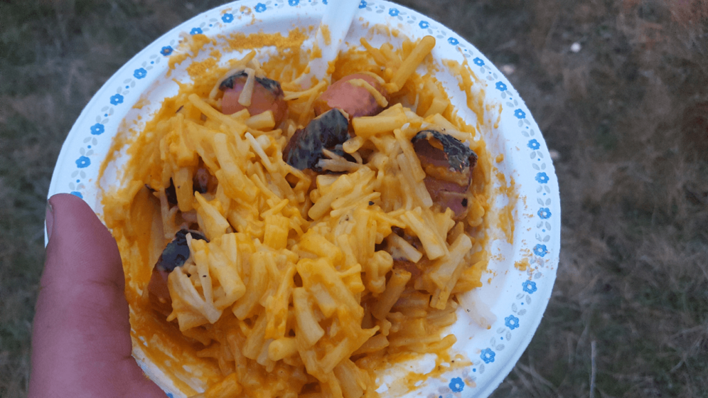
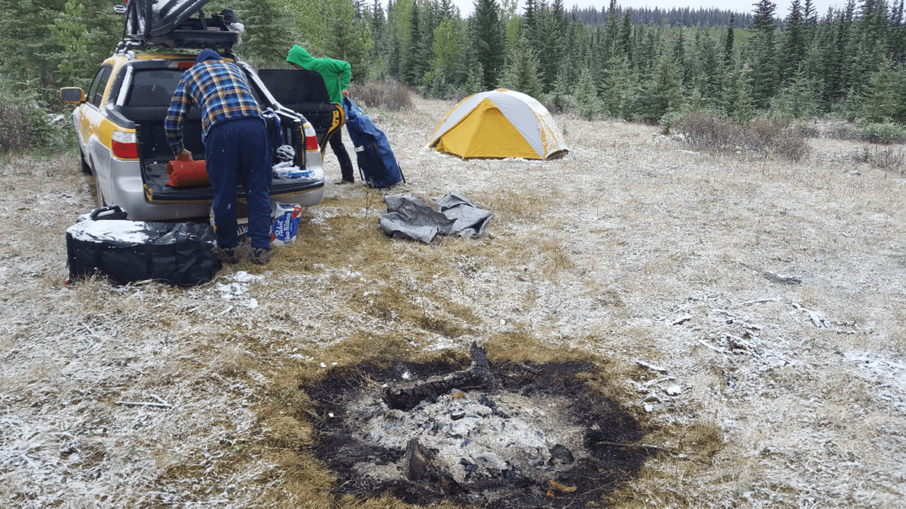
After leaving Athabasca Falls, we drove north to Jasper, which is a charming tourist town. Everything is a bit expensive though- we only stayed long enough to grab an iced cappuccino at Tim Horton’s – a delicious coffee/chocolate milkshake concoction. It looked like we were going to have to drive at least another hour until we could find a good camping spot. As night fell, we drove east from Jasper to Hinton, where we got McDonald’s- two McDoubles and two McChickens each! It had been a very long day and some fast food was just what we needed. North of Hinton somewhere off highway 40, we found a great campspot in a grassy area left behind by some logging operations. We had to push some tall grass down with the Baja to get to our spot, but we really liked being “hidden” where we wouldn’t be able to be seen. We had a big campfire and lots of beverages, including quite a few Shock Tops- a delicious fruity beer. We also broke out our old favorite camping meal- mac and cheese in a jetboil, with sausage cooked over the fire! We woke up to a very cold morning- it had snowed a bit overnight. Mike, as usual, had slept in the bed of the Baja wrapped in a tarp. We had tossed a bunch of our glass bottles in the fire the night before, and they had twisted into amazing shapes as they melted and then cooled overnight.
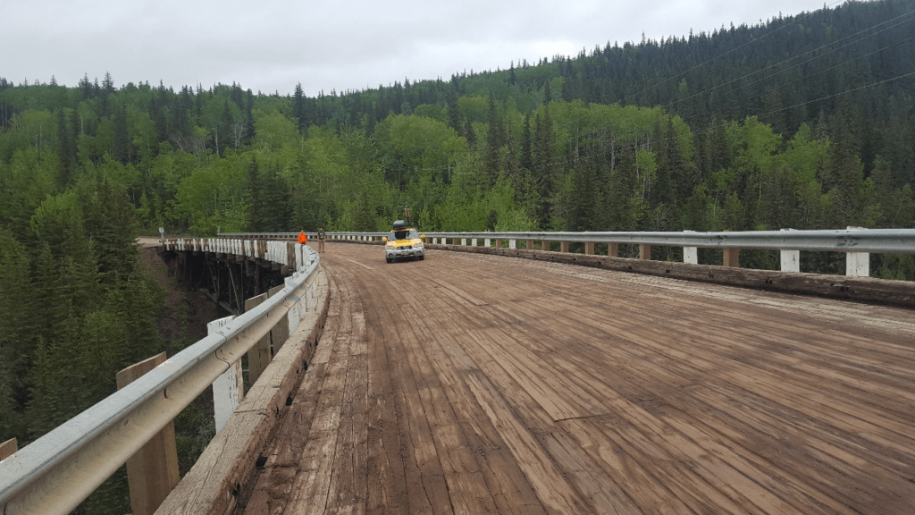
We drove north through Grande Cache and Grande Prairie. The mountains were beautiful, but did not compare to Banff and Jasper, which I consider the most impressive mountains I’ve ever seen. We finally got to Dawson Creek, the site of the “official” start of the Alaska Highway. Before WW2, this is as far as the road went, and this is where the US Military began building the road north to Alaska. One of the many, many obstacles of building that road to Alaska was the Kiskatinaw River. In late 1942, a wooden trestle was built across the river with a 9 degree curve- the first curved wooden bridge in Canada. The bridge was the primary crossing of the Kiskatinaw River until 1978, when it was bypassed a few miles upriver to accommodate growing oilfield traffic. Fortunately, the original routing and bridge were maintained. It remains as the only original bridge of the Alaska Highway. It was shut down sometime in 2020 for repairs and has yet to reopen. We visited it in 2023 and it seemed to be deteriorating rapidly. We are glad to have crossed it several times over the years before it was closed!

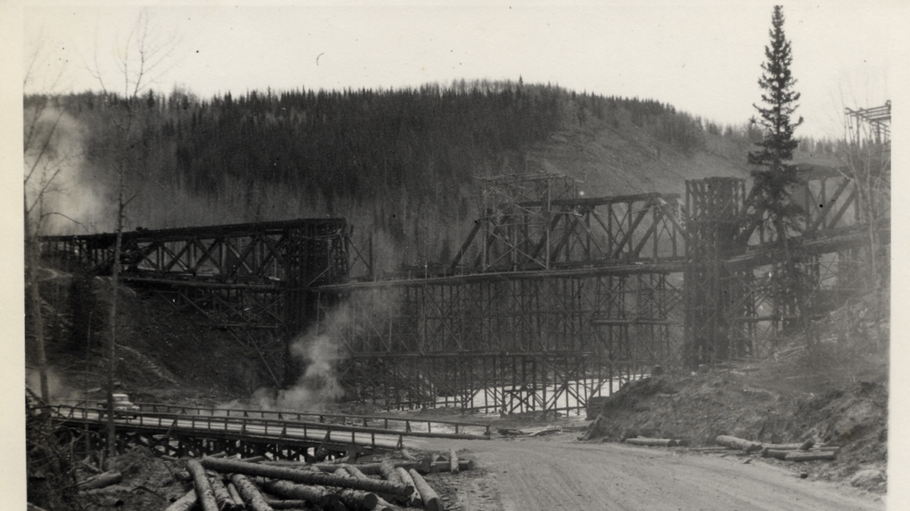
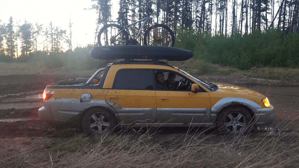
We started looking for a campsite past Fort St. John, which was a mistake. This is prime oilfield country, and we really struggled to find a good concealed campsite. All the roads are industrial, and there are precious few “forest service” or “blm” road equivalents. One of the oilfield roads we did go down had a wide open pad covered in an inch or two of mud, with a wellhead on the far side. We had a blast doing donuts in the mud with the baja- it was perfectly slippery without being deep enough that we worried about getting stuck. Each of us took a turn slinging mud around for a few minutes. Unfortunately, between the wellhead and the mud, we decided not to camp here and to continue on.
As we realized later, this was another mistake. Though we now know a few good spots along this section of road, this was our first time through and we knew nothing. We drove north for another 2 or 3 hours before finding a power line road we could drive down. At this point it was raining, we were all cranky, and we’d noticed something worrisome- the Baja had developed a violent vibration if we went over about 55mph. We camped in the middle of the soaking wet power line road and hoped the next day that we could figure out what the heck was going on with the Baja.
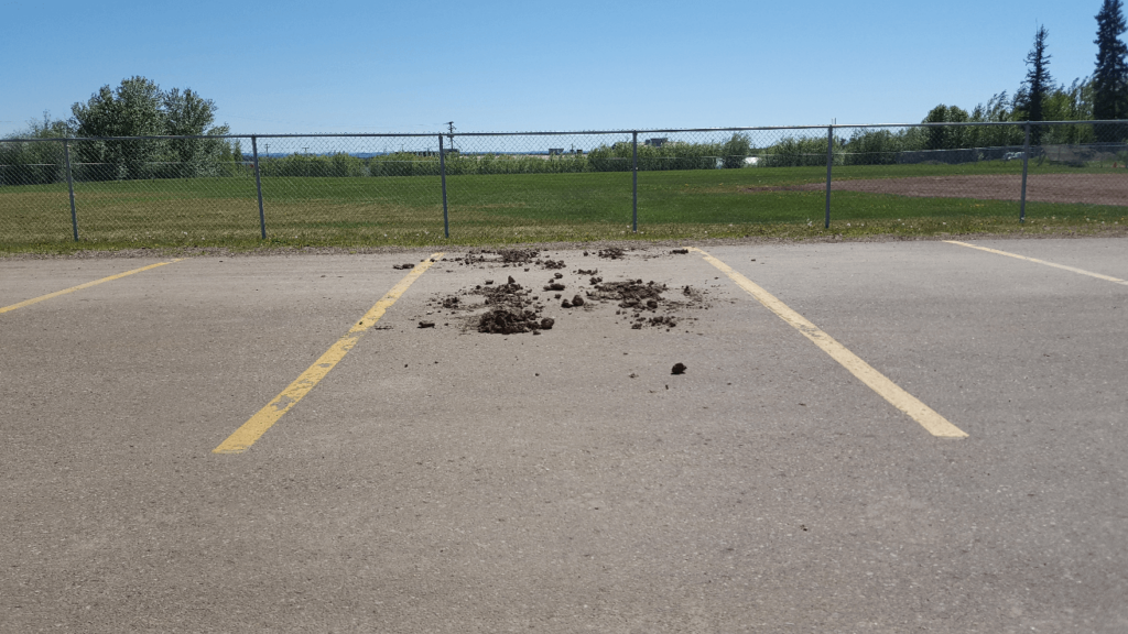
We half hoped that the vibration would be gone when we got back on the highway, but no such luck. We took it slow into Fort Nelson, and resolved to either talk to a mechanic (this was before any of us had developed any mechanical skills of our own) or not leave until we figured it out. We knew it likely had something to do with the fun in the mud we’d had the previous night. It took us an embarrassingly long time to figure out that we had mud caked into the wheels. It was acting as huge wheel weights, throwing off the balance of the wheels. We each grabbed a tool- screwdriver, leatherman, etc, and got to work poking all the mud out that we could. Half an hour later, we’d left behind an impressive pile of dry mud in the parking space, and the wheels were reasonably clean. We were all incredibly relieved when we got back on the highway and the vibration was gone!
Between Jasper and Fort Nelson, there is really nothing in the way of gorgeous natural scenery. There are pine forests, rolling hills, and occasionally a large, slow river, but no mountains, no valleys, and no viewpoints. This all changes within half an hour of leaving Fort Nelson when we get back into the Rockies. The area feels somewhat familiar- kind of like Colorado, while Banff and Jasper did not feel like Colorado at all. The hills slowly build into small mountains, and into bigger mountains, as we travel west from Fort Nelson. Before we get into the really big mountains, Mike, who has done this route once before, pulls into the Tetsa River Lodge- known as the “Cinnamon Bun Center of the Galactic Cluster.” The moniker is well deserved- they are the best cinnamon buns I have had before or since. It is an absolute must-stop.
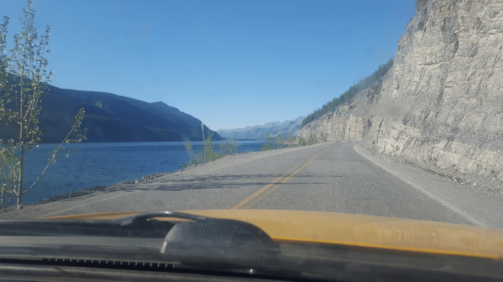
Soon beyond this, we came to the Muncho Lake area. Despite never having stopped for any length of time here, I love the place. The mountains are steep, the scenery is incredible, and usually, there is no one else there. Muncho Lake is extremely deep for how large it is- 732 feet deep. There are several wide aluvial fans coming down on the east side of the lake which lead up to narrow canyons. I’ve been through the area maybe 6 times as of 2023, and have never stopped for anything other than to take a picture off the side of the road. Someday I will spend a day or two here.
Almost immediately after leaving the tall narrow mountain valleys we had been driving through since not far out of Fort Nelson, we came to Liard Hot Springs. Liard is often ranked as one of the best hot springs in the world. It has a high flow rate, it is still mostly a natural pool without much development, and it’s remoteness keeps it from getting too busy. We enjoyed a long soak in the hot spring and camped there for the night. I turned in early but Joseph and Mike stayed up late talking. Unbeknownst to me, Joseph was violently ill that night. It is still undetermined whether it was from excessive shock tops or the canned beef and rice we had for dinner that night.
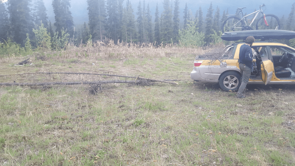
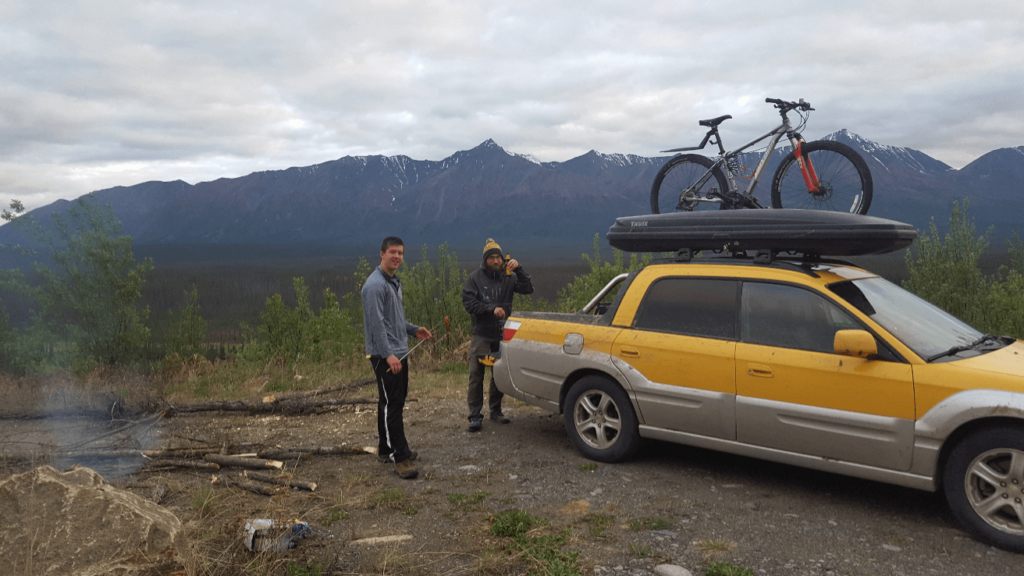
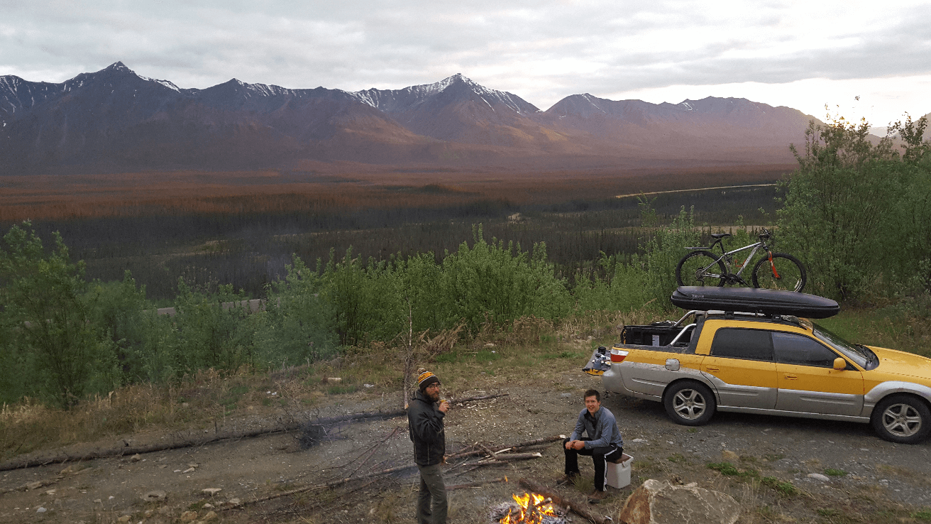
All well by morning, we headed out from Liard. I don’t really remember a whole lot of this section of the trip, but in all honesty nothing really happened. We stopped for gas in Watson Lake, we probably stopped somewhere along Teslin Lake, and rolled into Whitehorse late in the afternoon and grabbed another Iced Cappuccino from Timmy’s. The previous trip, we had camped between Whitehorse and Haines Junction, but we decided to push on further so we could get into Anchorage sooner the next day. We started looking before we got to Destruction Bay along Kluane Lake, but we found the area past Destruction Bay to be a bit creepy- there are lots of abandoned houses and homesteads around Burwash Landing. Not far past the Donjek River, late in the evening, we checked out a small side road, and found that it led up to an old rock quarry. It was the perfect spot with an amazing view over the valley below. Though there weren’t any dead trees near where we wanted to camp, there were plenty down the hill a bit. Mike and I took the Baja down the hill while Joseph started dinner, and we cut down a dead tree and dragged it back up to the campsite with the Baja. The sunset that evening was incredible, and we had the perfect vantage point for it.
I think we slept in a bit the next morning, which was well deserved. The road north through the border was in horrible shape- it was all paved, but it was frost heaved into a rollercoaster. We had fun passing the poor motorhomes, which could only go 20mph or so through the bad spots. It was further than we thought it would be to get to the border, probably because we had to go slower than usual on the rough road. The border crossing from Canada into Alaska is about 20 miles past the crossing from Alaska to Canada- I’ve always wondered what would happen if you misplaced your passport in this area! You wouldn’t be able to get into Alaska, but you wouldn’t be able to go back to Canada either.
We got through the border without any problems- it always makes me a bit emotional to hear the border guard say “welcome back to America.” Again, I can’t remember a ton of this day, but nothing really happened. We filled up with gas in Tok (much cheaper than Canada) and made a beeline home to Anchorage! It had been an incredible trip- we saw a lot of stuff in just 8 days of travel!