For Thanksgiving Break in 2017, Mike Wise and I decided we would drive the White Rim Trail in Canyonlands National Park. The White Rim Trail encircles the Island in the Sky Mesa, and much of it was built during the 1950s. The Atomic Energy Commission wanted to make it easier for prospectors and miners to access the known uranium deposits on the White Rim. Very little uranium was found, but the after Canyonlands National Park was created in 1964, the road soon became a popular mountain biking and jeeping trail, and it remains so to this day.
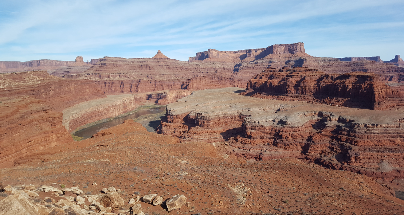
We had spent the first few days of Thanksgiving break in Salt Lake City, and camped outside of Moab on Wednesday, November 22nd. The next day, Thanksgiving Day, we gassed up and headed out from Moab. We had two options: go up to the Island in the Sky and down the Shafer Trail, or go in on the Potash (pronounced pot-ash) Road. I don’t remember why, but we decided to go in the Potash Road.
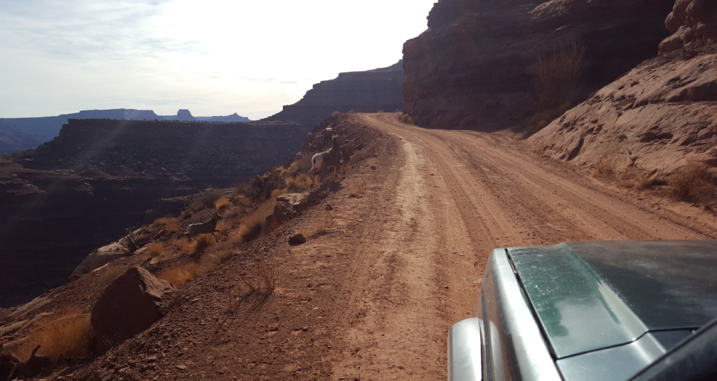
The road was rough, but not a real offroad trail. Any stock 4×4 wouldn’t have a problem. We were a bit hungover from the previous night’s campfire, so we took it slow. We saw a few desert bighorn sheep on the way in, a rarity. We didn’t know it at the time, but we passed by Thelma and Louise Point, made famous by the cult classic movie in which the eponymous characters drive off the cliff.
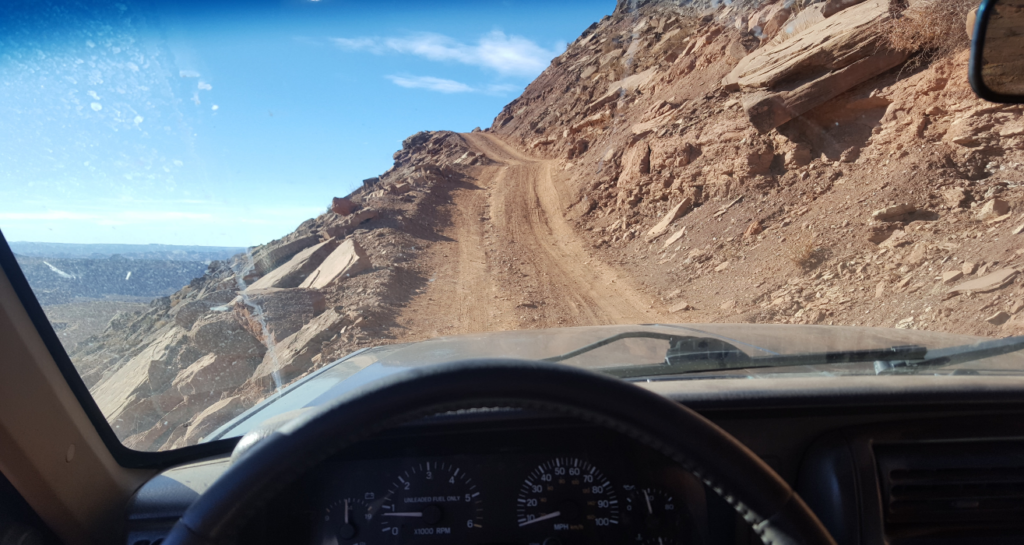
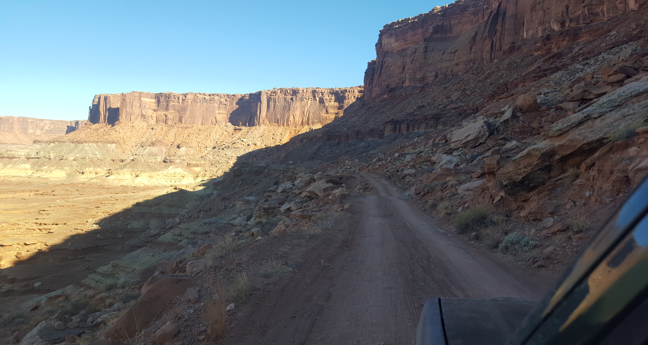
Once on the White Rim Trail proper, the road gets a lot better- probably because it is a maintained Park Service road and not just a BLM road. Despite this, the Park Service requires that any vehicle traversing the White Rim Trail have low-range 4wd. It can and has been done by less capable vehicles, but there are a few steep hills where I was glad to have low range. Any sort of precipitation on the trail would also make things very interesting, even for a well-equipped 4wd.
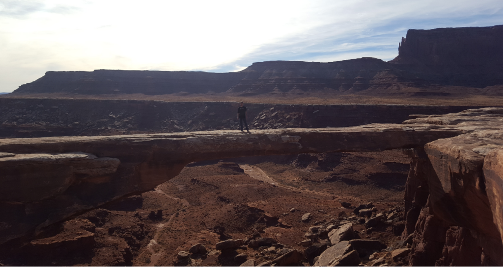
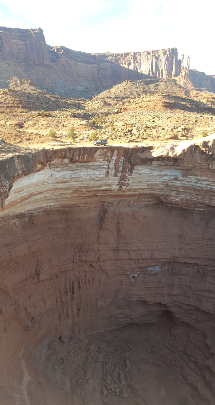
We traversed a narrow shelf road and soon came upon the first major stopping point on the trail: Musselman Arch. More of a bridge than an arch, it is reportedly 187 feet long, 6 feet wide, and 300 feet down. Both of us walked out on the arch, a vertigo-inducing experience. There are pictures somewhere on the internet of people riding mountain bikes across- I was happy to be on my own two feet.
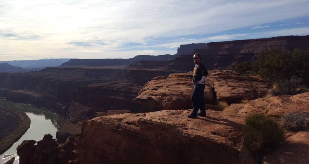
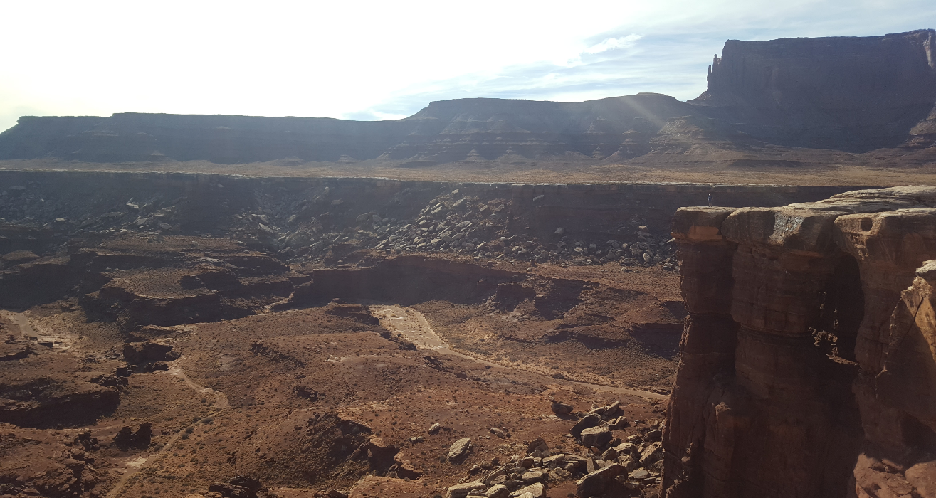
Nearby is an interesting complex of rock towers slowly eroding away. We took turns taking pictures of each other way out on the edge.
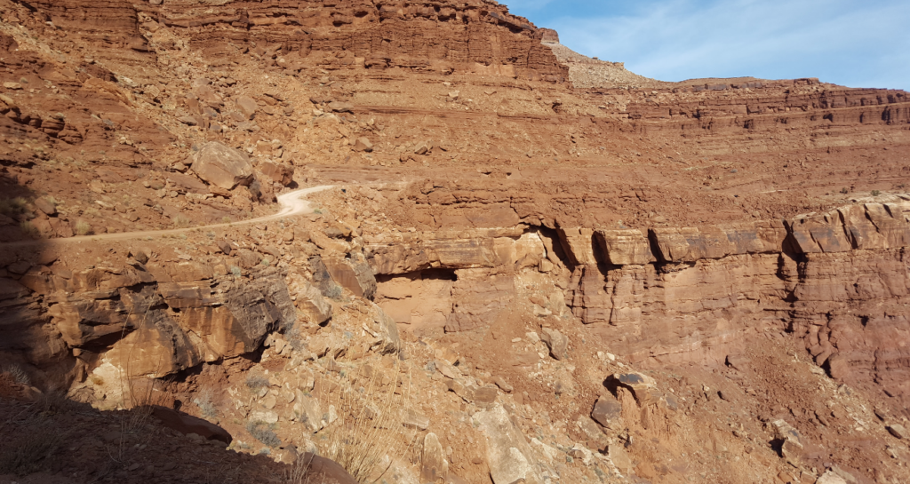
Not much further is the only “side trail” on the White Rim: Lathrop Canyon. It is probably the most difficult part of the trail- the descent into the canyon is extremely steep, but again, any stock 4×4 would be fine. At this point, I really had not driven offroad much and was not used to just how capable even a stock 4×4 is.
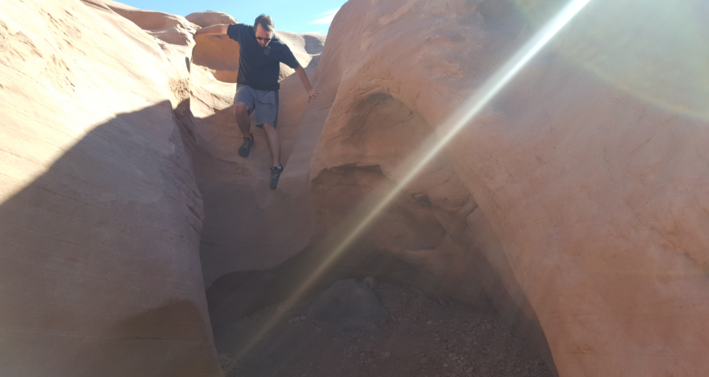
After the steep, switch-backing descent into the canyon, the trail goes in and out of a wash framed by the tall, vertical canyon walls. The walls progressively get closer together, and the canyon narrows to only 100 feet wide, with the canyon walls being hundreds of feet tall. The canyon eventually winds its way down to the Colorado River, complete with a rudimentary parking lot and a NPS bathroom. This is the only vehicle access to the Colorado River between the Potash Plant near Moab and the ghost town of Hite, roughly 75 miles downriver. We were alone and felt very remote down there!
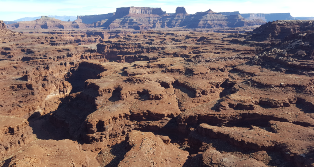
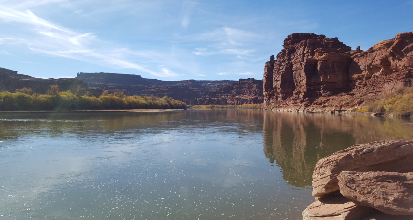
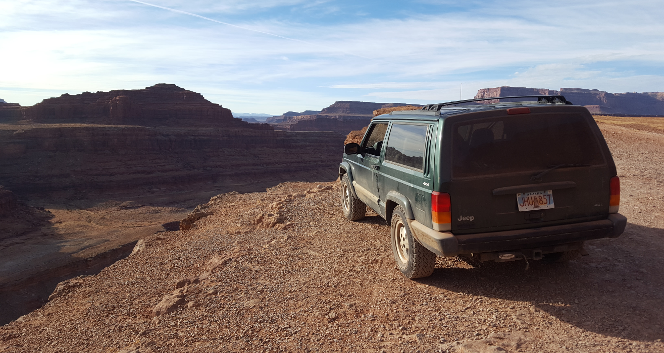
Back up on the main trail, we pushed on to our reserved campsite, Gooseberry. Despite the incredible views, the day started to wear on- the road surface precluded speed above around 10mph, and the scenery had begun to blend together. The trail became monotonous, going into the head of each canyon below the white rim and back out to the point between two of the canyons. Monotony notwithstanding, the heads of each canyon were great photo opportunities for the jeep. We rolled into camp in the early evening and enjoyed a pumpkin pie (this was Thanksgiving Day, after all) and as the evening wore on, prodigious quantities of Uinta Brewing beer.
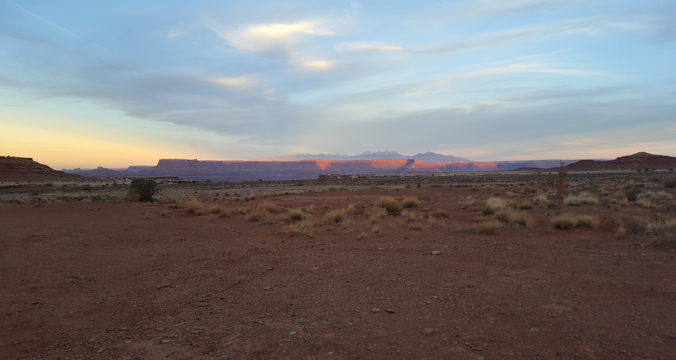
We crawled into our tent as the night got too cold for us- no fires are allowed on the trail. We must have bundled up too well, because we both woke up at 2am burning hot. We dragged our sleeping pads and bags out of the tent and slept under the stars for the rest of the night, waking up hungover again to an incredible sunrise. Mike managed to stave off his hangover with a breakfast beer at 7am. Knowing that we still had around 2/3rds of the trail to go, we got back on the road as soon as we could.
The first part of our second day was more of the same. We took it slow, taking in the views and isolation. We hadn’t seen another vehicle since Musselman Arch the day before, and didn’t see another until around 3pm today. The canyons south of us down to the Colorado River got deeper and more scenic. The first major obstacle on the main White Rim Trail is the Murphy Hogback- instead of going out to the point between two canyons, the trail cuts up and over the ridge between. It was very steep and we were glad to have low range. The “best” campsite along the trail is at the top of the Hogback, but it was already reserved when we planned our trip. If we do the trip again, I hope we are able to reserve it- it has amazing views in all directions, and even some shade trees, which our Gooseberry campground lacked. We looked west off the Hogback and saw the trail wandering into the distance.
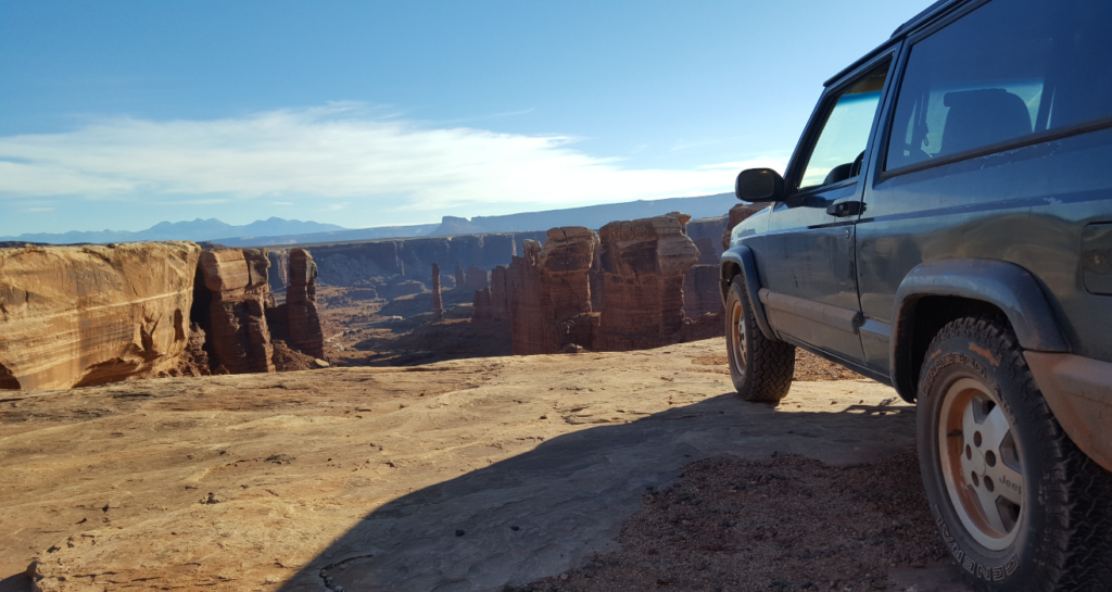
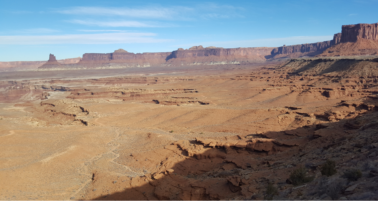
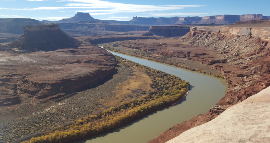
After going down the other side of the Murphy Hogback, we notice that the canyons to our south are now getting shallower again- that’s because instead of driving down the Colorado River, we are now going up the Green River! The trail gets a bit more interesting too- instead of looking east the whole time, we are now looking west as we drive north along the Island in the Sky Mesa. The Green River loops around a small but distinctive mesa, which we later learn is called Turks Head. We also find Holeman slot canyon below the trail, which we hike down a small ways. Apparently you can follow it all the way down to the Green River, but we neither had the gear nor the time to fully explore it.
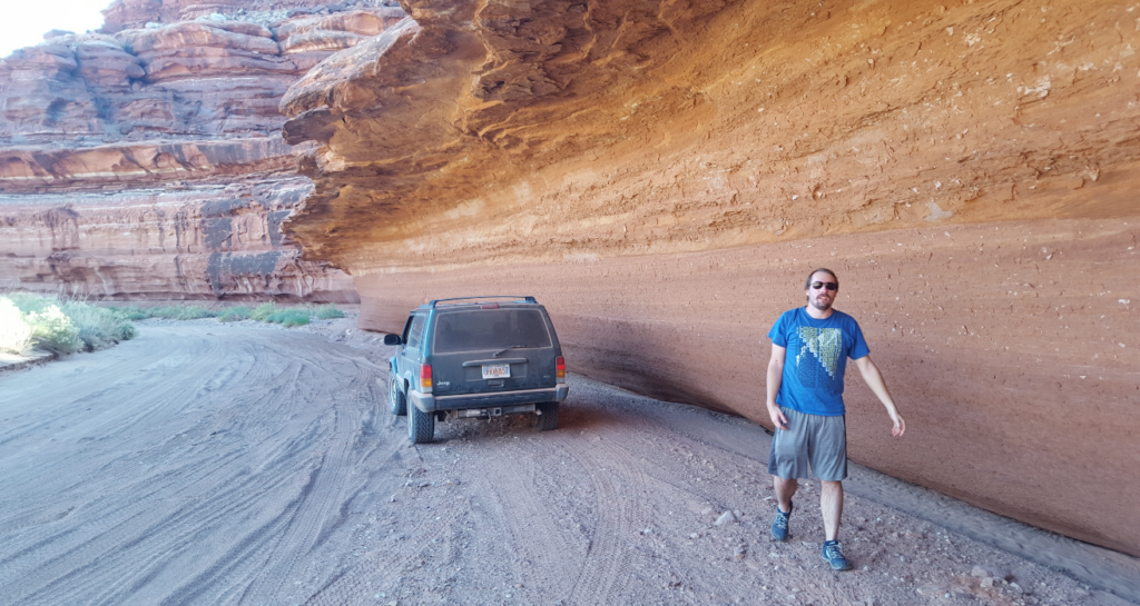
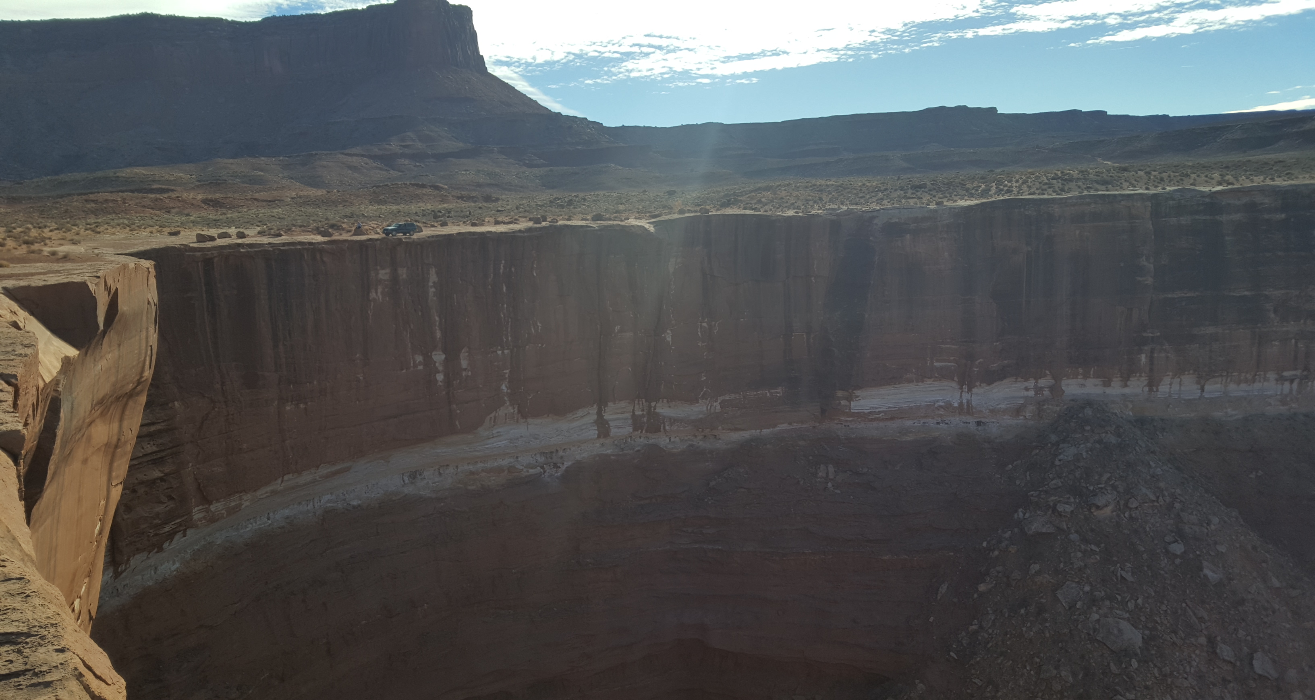
Past Holeman Canyon, we find another huge cliff to park the jeep next to. This one is taller than all the previous ones, and we take our time trying to fit it all in frame. We are totally unable to capture the height and vastness of the cliff. I really wish I had brought a “real” camera instead of just a phone.
For some reason, this side of the trail feels much more remote.
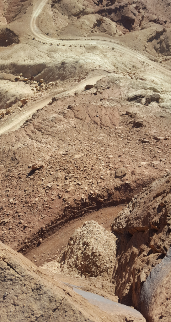
Continuing on, the Green River gets closer and closer to us. Just before we feel we’re about to drop down into the canyon bottom, the trail pulls away from the rim and goes up a small side canyon. This is the beginning of Hardscrabble Hill- we feel that it was definitely the most difficult part of the trail to build. It winds up and up the hill, turning back on itself again and again. At the top, we wander around, looking down at the switchbacks we’ve come up. I manage to step on a thorn that goes all the way through my shoe and pricks the sole of my foot, but it thankfully doesn’t go in very deep. We walk over to the edge of the cliff we’ve just switchbacked up, and are astonished at how close together the switchbacks are. It seems that we could throw a rock and have it cross the trail 3 times on the way down the hill.
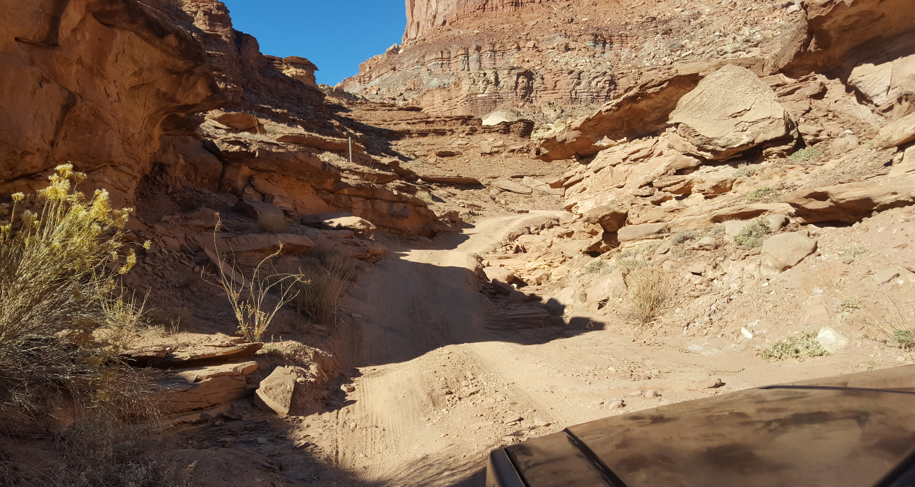
Past Hardscrabble Hill, the trail hugs the cliff wall for about a mile or so and then descends down into Hardscrabble Bottom. There is a campground here, but it’s so close to the end (or beginning) of the trail, I can’t imagine wanting to stay here. Past Hardscrabble Bottom, the trail is right next to the river, with lots of brush and trees along the trail. There really aren’t a lot of views down here, but it’s still interesting to be so close to the Green River, which is inaccessible for most of its length.
We make it to a junction, the first since Lathrop Canyon yesterday. One goes which is a famous put-in or take-out point for rafters. Because of this, the road is in much better shape and is well-graded. There is one final obstacle between us and a cold beer at Moab Brewing- a set of tight, steep switchbacks that lead up out of the Green River canyon up to the top of Island in the Sky Mesa. On the very last switchback, the jeep up and dies- no warning, stuttering, or anything. After poking around a bit, I cleaned off the battery terminals and she started back up again. Phew! Next spring, I found that the cable from the battery to the starter had worn through and was frayed down to just a few strands of copper wire. The cable must have swung and tapped the frame, shorting the battery.
After fixing the jeep, we hurry back into Moab and enjoy excellent burgers and beer at Moab Brewing. I don’t know who invented putting an entire chili pepper on a burger, but we both thought that it was a novel and wonderful idea.
The White Rim Trail is one of the most remote trails in the lower 48 and one that I can’t wait to do again someday.