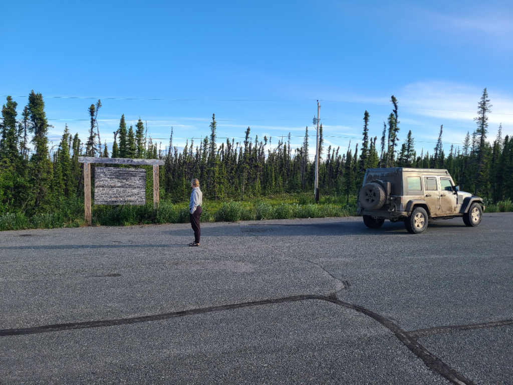
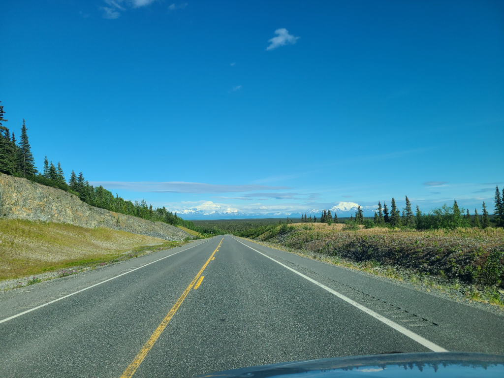
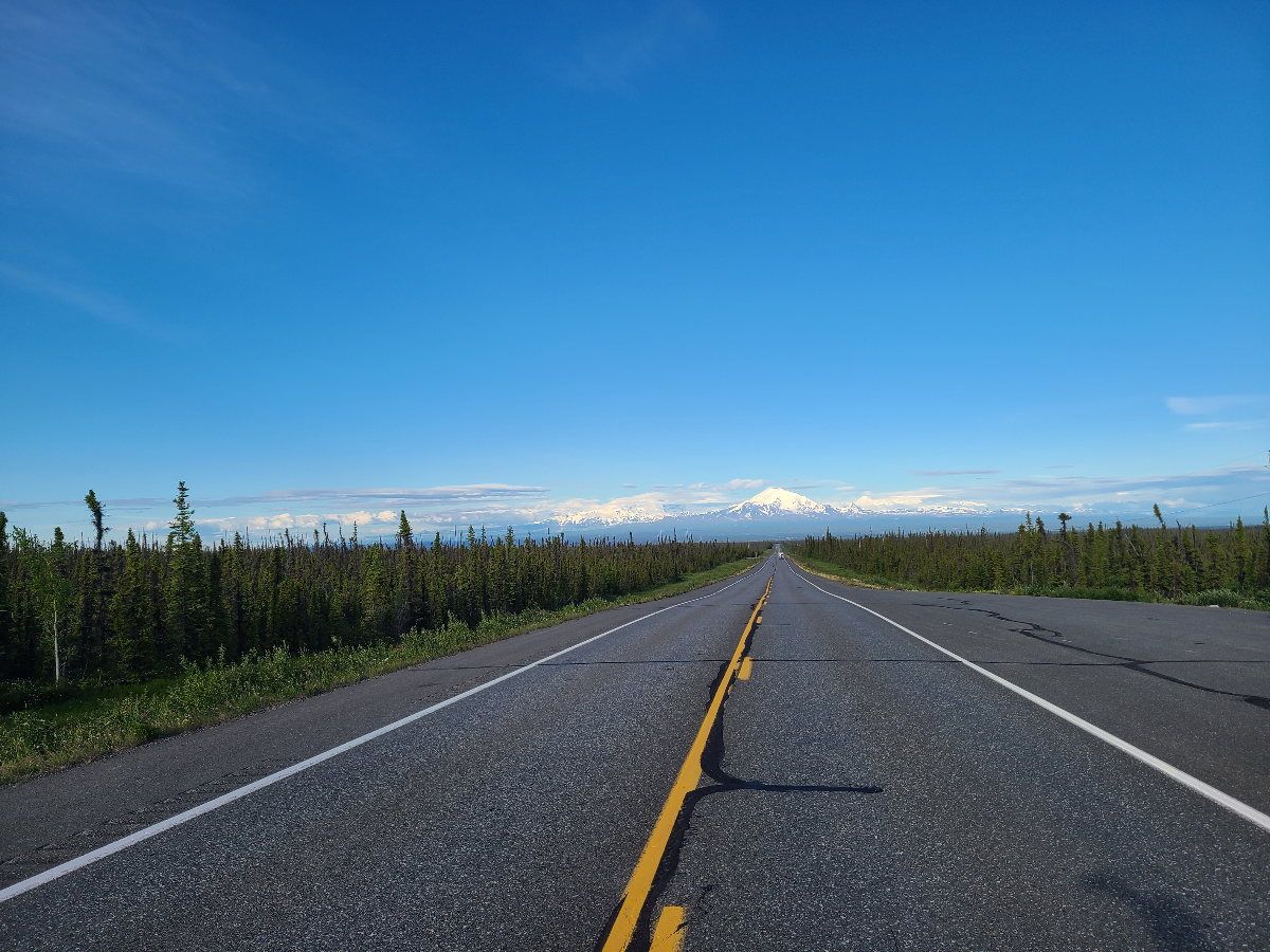
Robert and I wanted to take advantage of the long 4th of July holiday weekend and drive the Haul Road up to Deadhorse, Alaska. Robert’s best friend, Mike, lives in Fairbanks and invited us to join a group of friends for the trip. We live about 6 hours south of their starting point, so Friday after work we packed up the jeep and took off. We needed catch up to that first night’s camping spot, just north of the Yukon River. It took us over 9 hours to reach them, and the clock was kissing the next day, so we went straight to sleep.
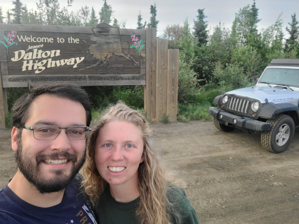
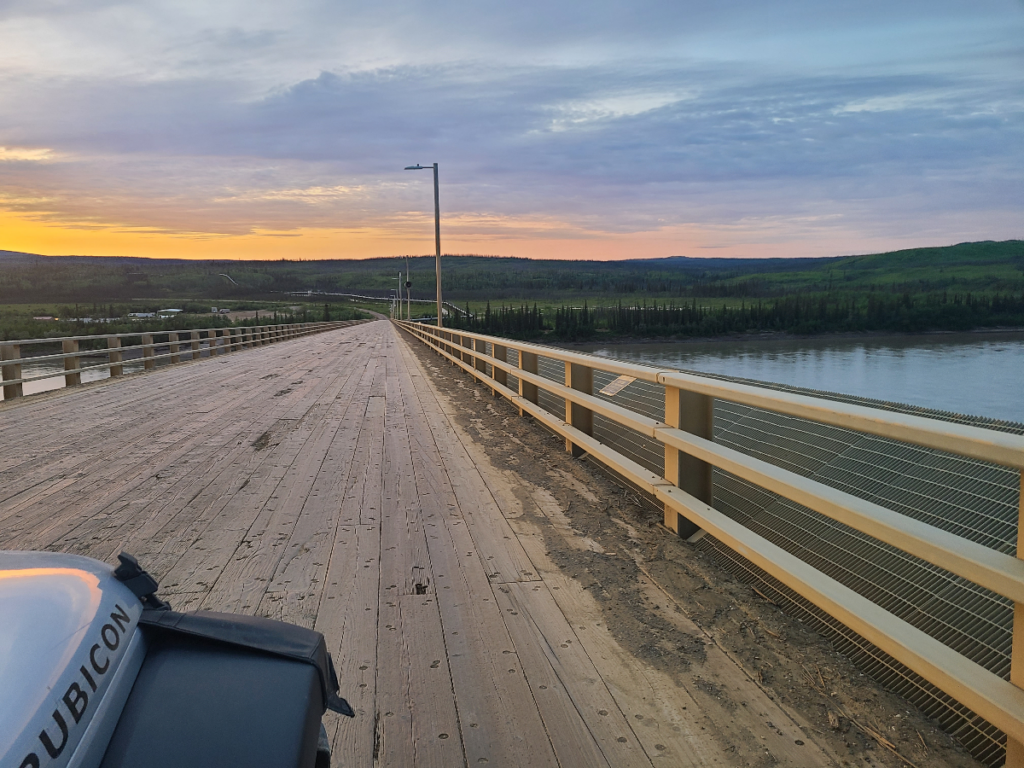
The sun beat us up the next morning, which is no surprise considering it rose at 3:18 am. Once we did crawl out we greeted Mike and got to know the rest of the crew. Breakfast took place back down the road a bit at the wooden Yukon River Bridge. After filling empty bellies our tires hit the Dalton Highway heading north once again. Little did we know what lay in store for us later that day.
The Milepost, a guidebook, was our mile-by-mile guide as we traveled along the Dalton. This took us to our first stopping point – Finger Mountain. It’s exactly what is sounds like. Continuing on we stopped for lunch at the sign for the Arctic Circle.
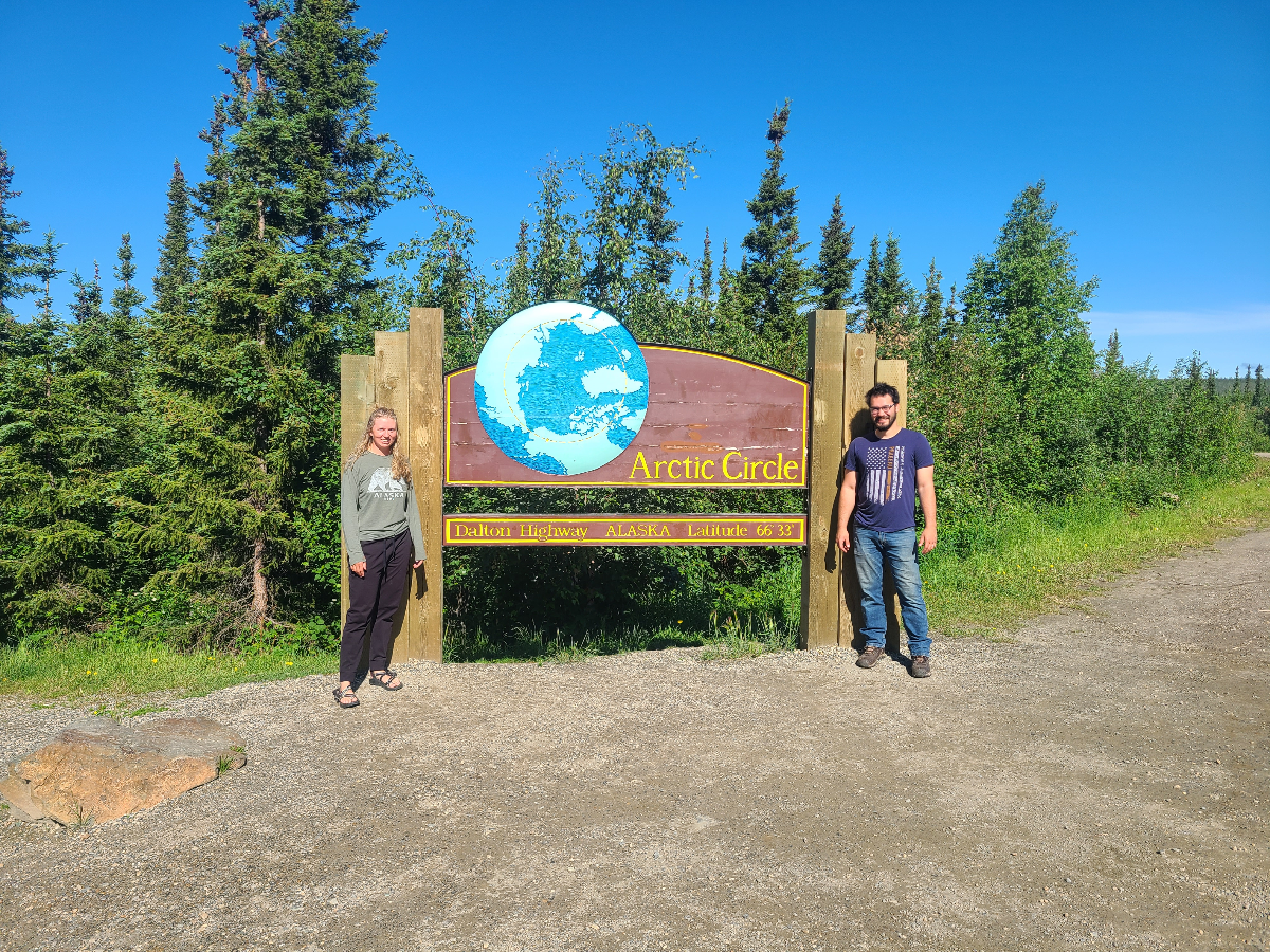
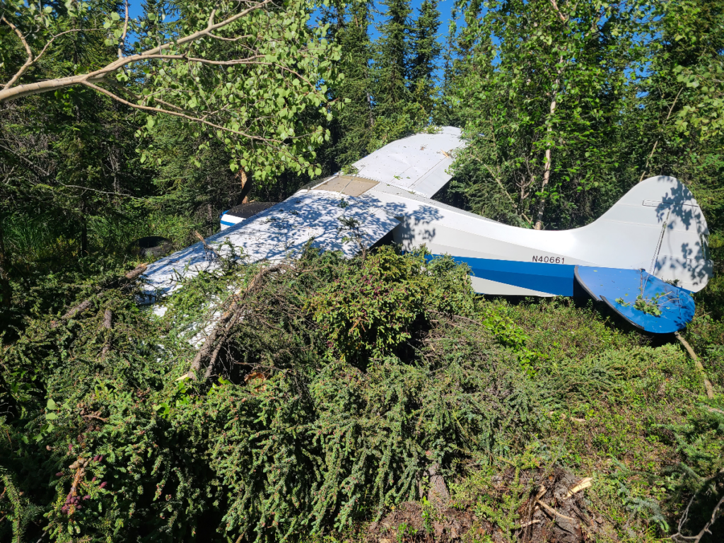
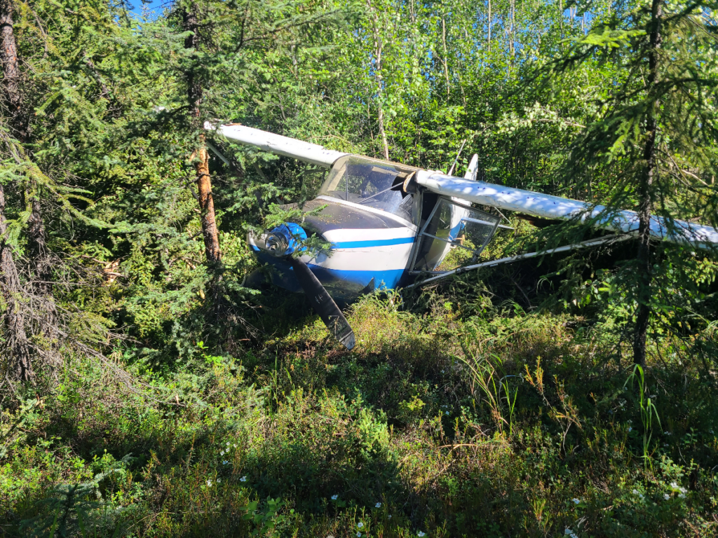
It was not long after taking our photos with the Arctic Circle sign that we stood together admiring the personal aircraft flying over our heads also trying to get a look at the sign. Conversation was floating around as we decided how we far we wanted to go that day before stopping to make camp. A few of us vaguely heard the sounds of an aircraft coming to land on the road, a common occurrence throughout the state, when a noise like a giant weed wacker split the air. Robert yells out, “I think they just crashed!” and after a second of processing what the heck just happened, we jumped into our vehicles. Half the crew went north, and we went south trying to pan out and only able to guess where that pilot might be. Luckily Robert and I found them right away, and before the vehicle stopped, I was running across the road. Others were grabbing a first aid kit, and as I entered the brush I kept yelling, “Are you okay?” again and again. A response floated out of the air, and I looked over at the voice. It belonged to a man walking around the tail of his crashed Maule M-4. His buddy was in the cabin still, communicating with the people they had flown up with that day. They were shaken but walked away from the crash without a scratch. Whew!
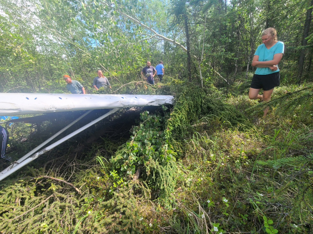
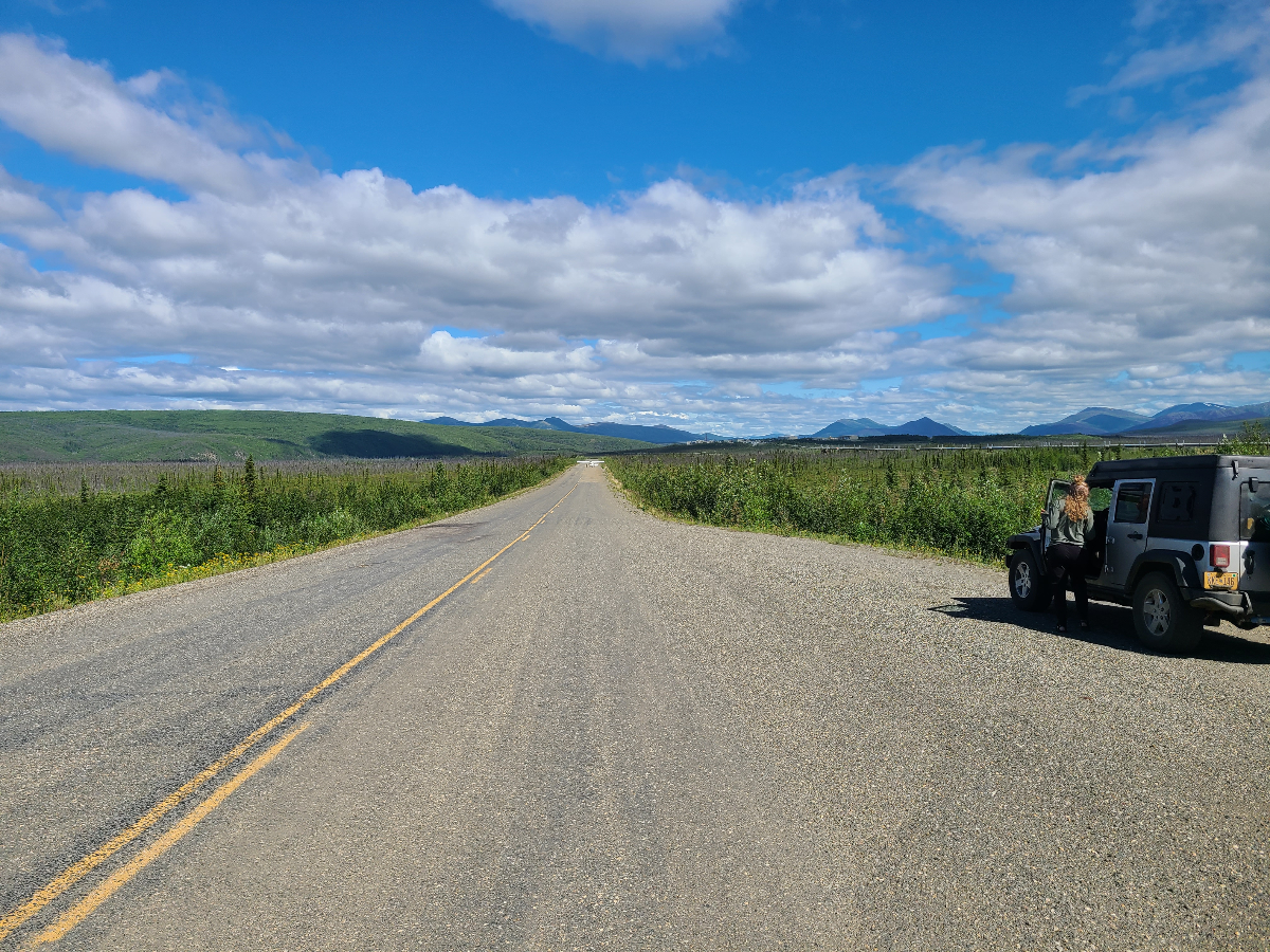
Shuffling cargo around the vehicles, we gave the pilot and his friend a ride up the road first to a spot where one of their friends landed on the road to check on them, then to the town of Coldfoot where lodging and transportation awaited the pair. We took some time to check out the excellent Arctic Interagency Visitor Center and fill up on caffeine and gas (we had three tanks to fill). With the sun still out, and not due to set until 1:45am, we continued north into the Brooks Range.
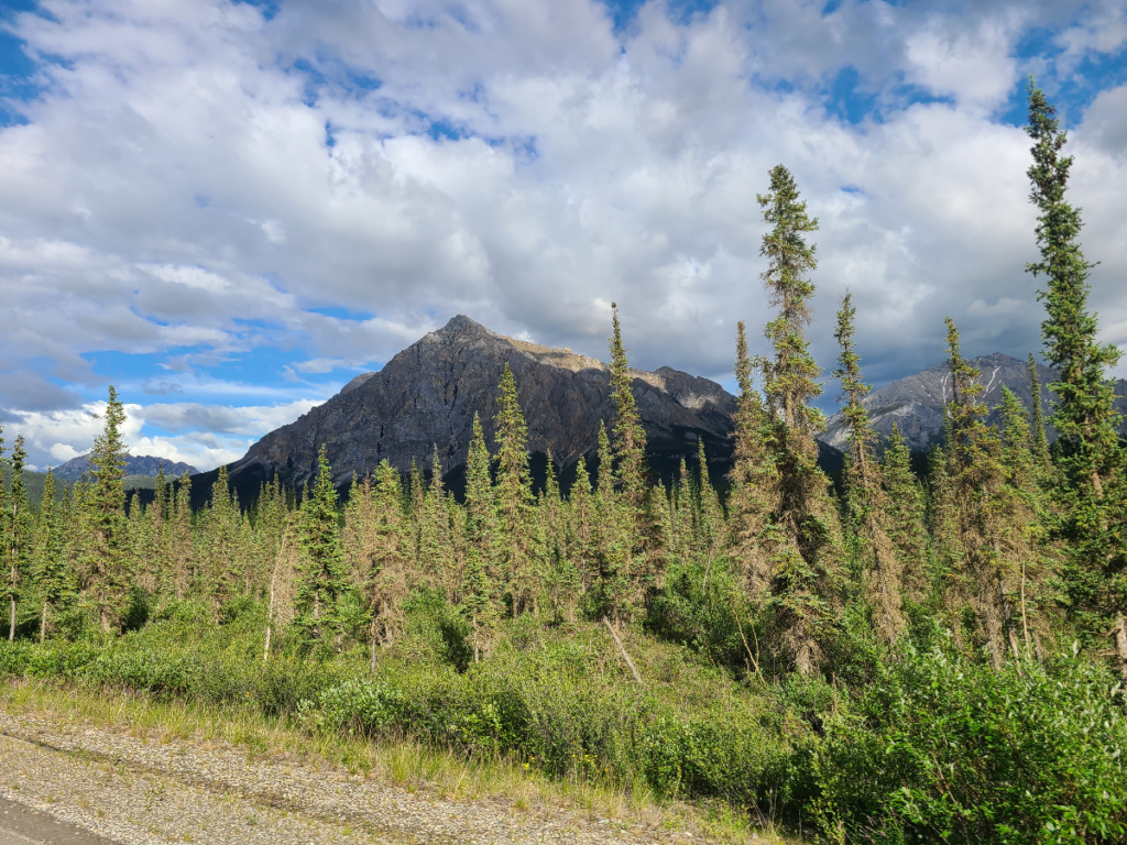

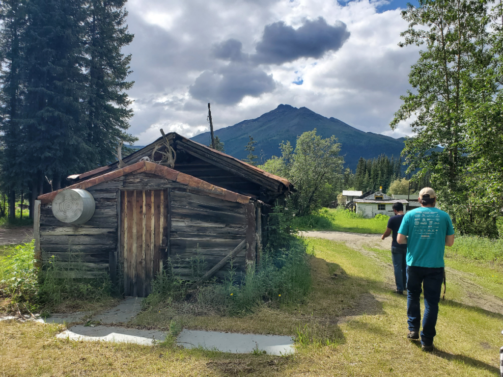
We stopped at Wiseman to check out the old homesteads and mining equipment. We passed a couple of runners doing the a race called the ROMP along the way.
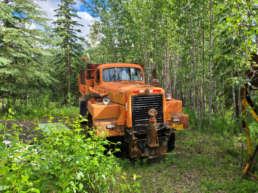
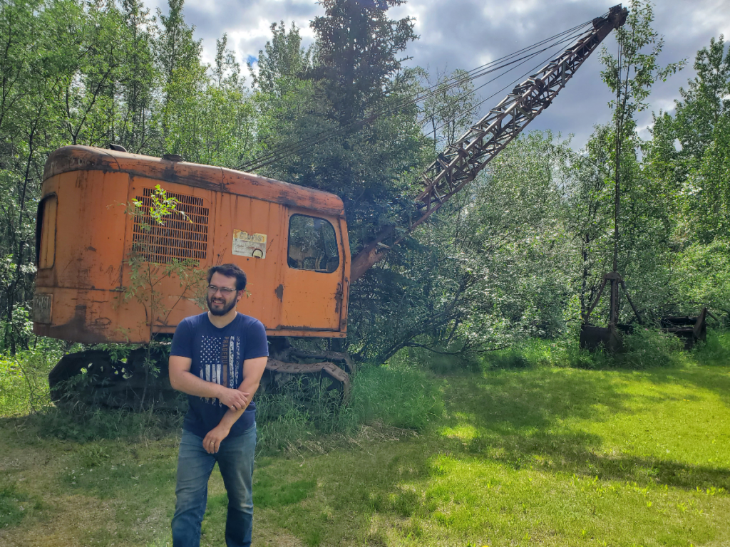
When the sun lights up the sky for the majority of the day, it’s nearly impossible to gauge when you’re supposed to be tired. I can’t tell you when we finally set up camp, but I know it wasn’t anywhere near a typical dinner time.
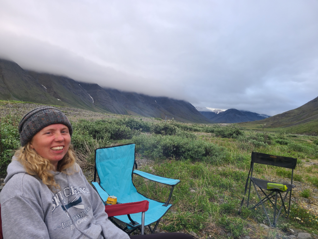
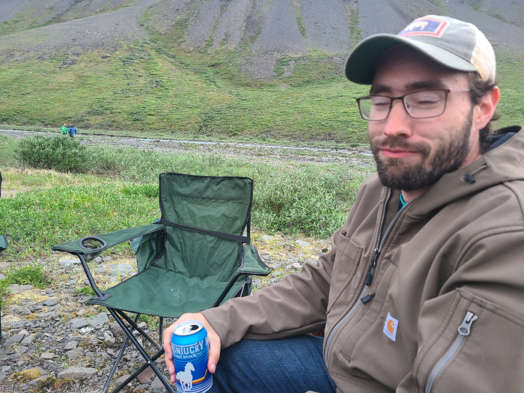
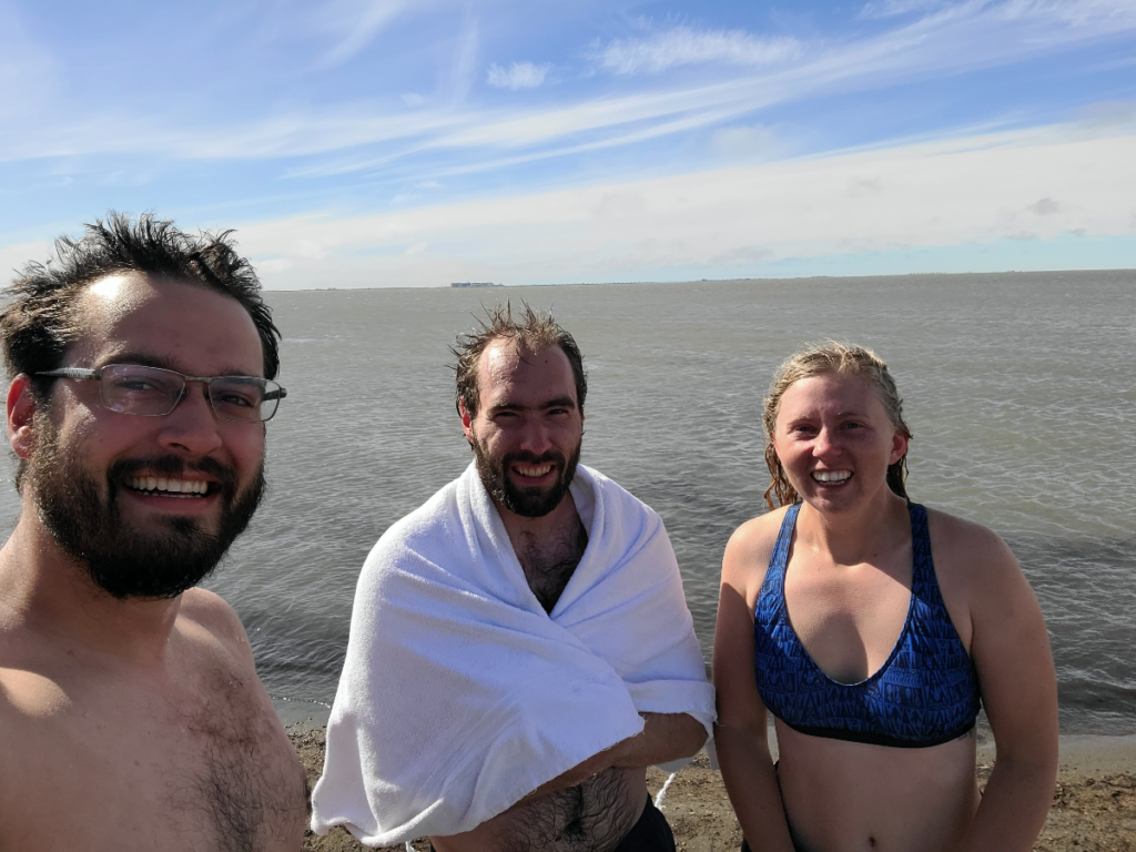
After another short night of sleep, we headed to Deadhorse to jump in the Arctic Ocean. No one actually lives in Deadhorse (also known as Prudhoe Bay), but you can think of it as a working paradise where people fly in for a couple weeks to work the oil rigs, then fly back home for a couple weeks, rinse and repeat. The area is known as the North Slope and is home to the Prudhoe Bay Oil Field, the largest in North America. Because of that, the few roads that do exist, including access to the Arctic Ocean, are gated off. The easiest way to reach the ocean is to go through a tour company that’ll give you some nice towels, a warm bus, and a friendly guide.
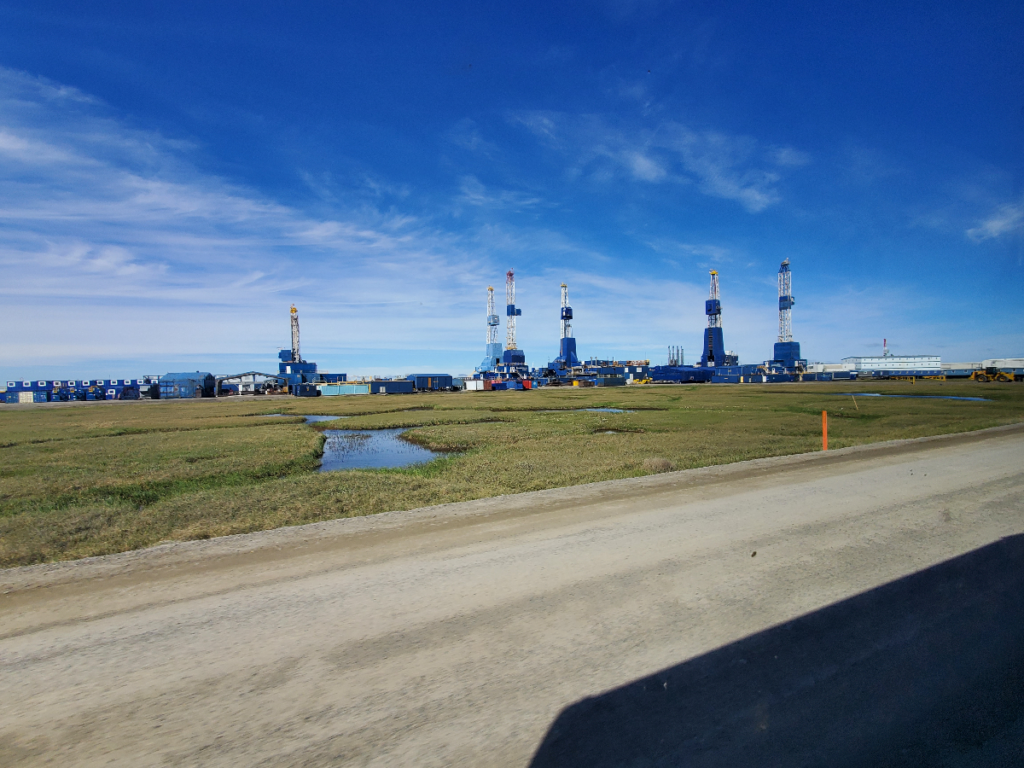
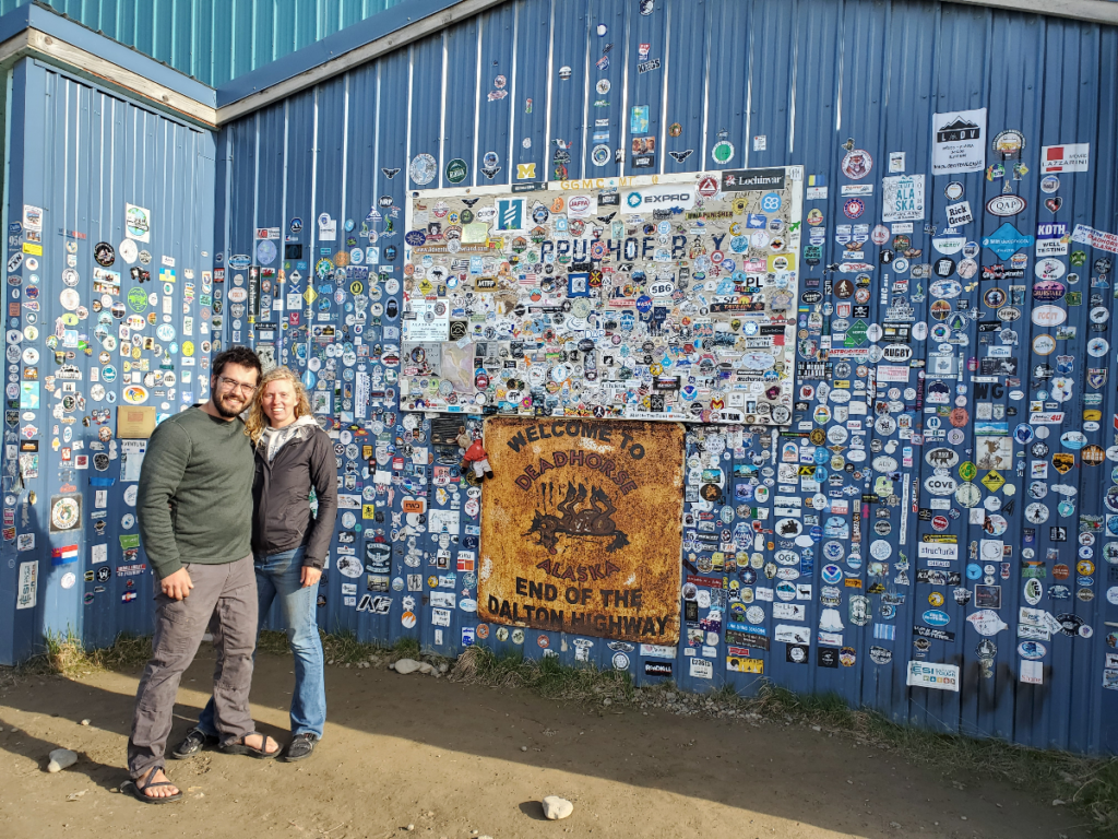
On separate work trips, both Robert and I have flown up to Deadhorse before and not gonna lie it felt a bit like we were going to work. We were relieved to be going back towards Atigun Pass to our campsite.
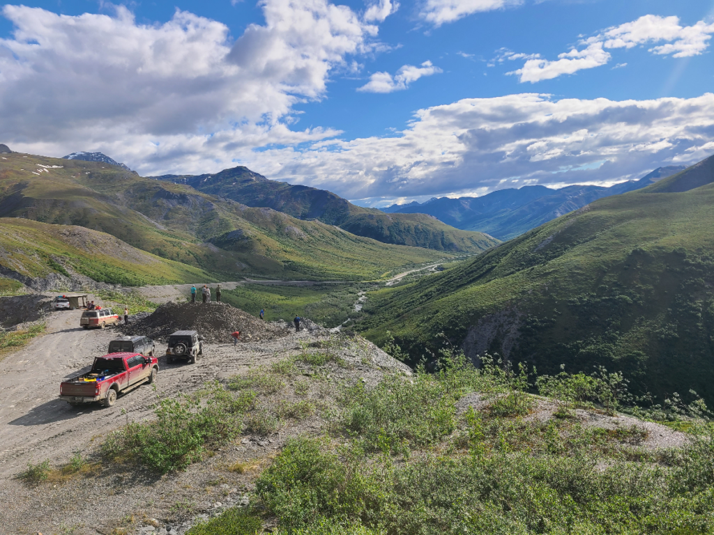
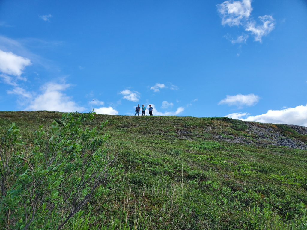
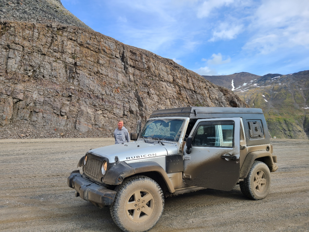
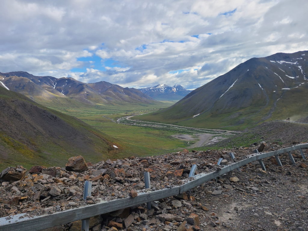
The drive back to Fairbanks was relatively uneventful, thankfully. Dodging graters on a dirt road full of potholes in a land so remote you forget what a house looks like, we were thankful not to have any flat tires or vehicle trouble.
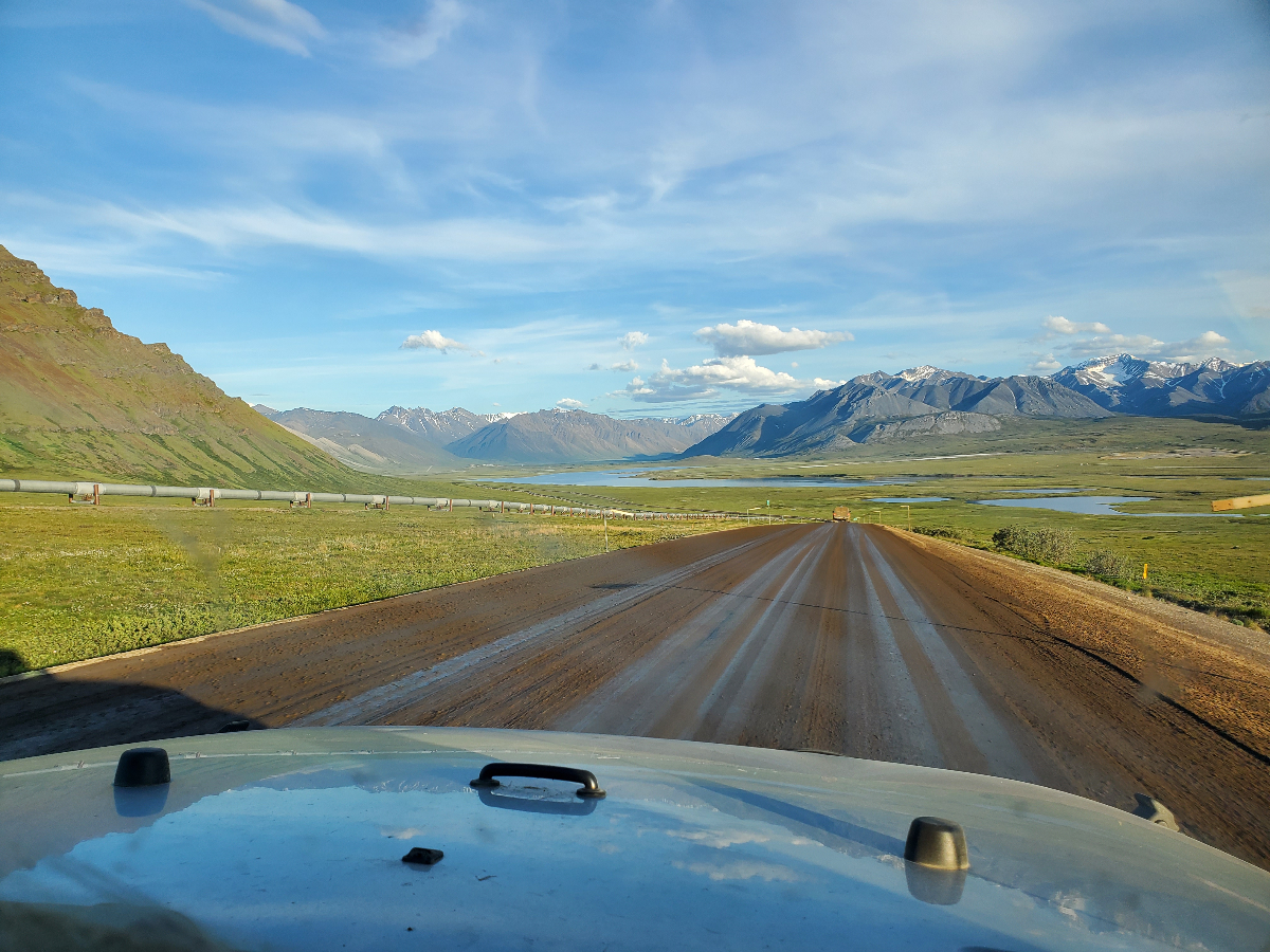
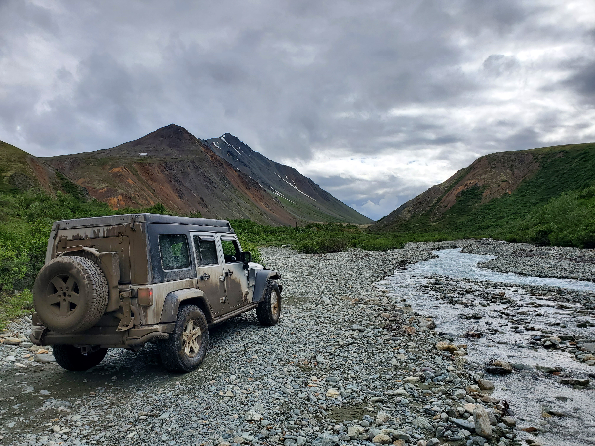
The crew got back to Fairbanks, and a couple beers and pizzas later we spent the night hanging out once again by a fire and sleeping in our pop top tent on the jeep. After saying goodbye the next morning, Robert and I decided to drive the Richardson Highway back to Anchorage. Along the way there is a gravel path that parallels the Canwell Glacier, so we decided to test the jeep and took it for a little off-roading.
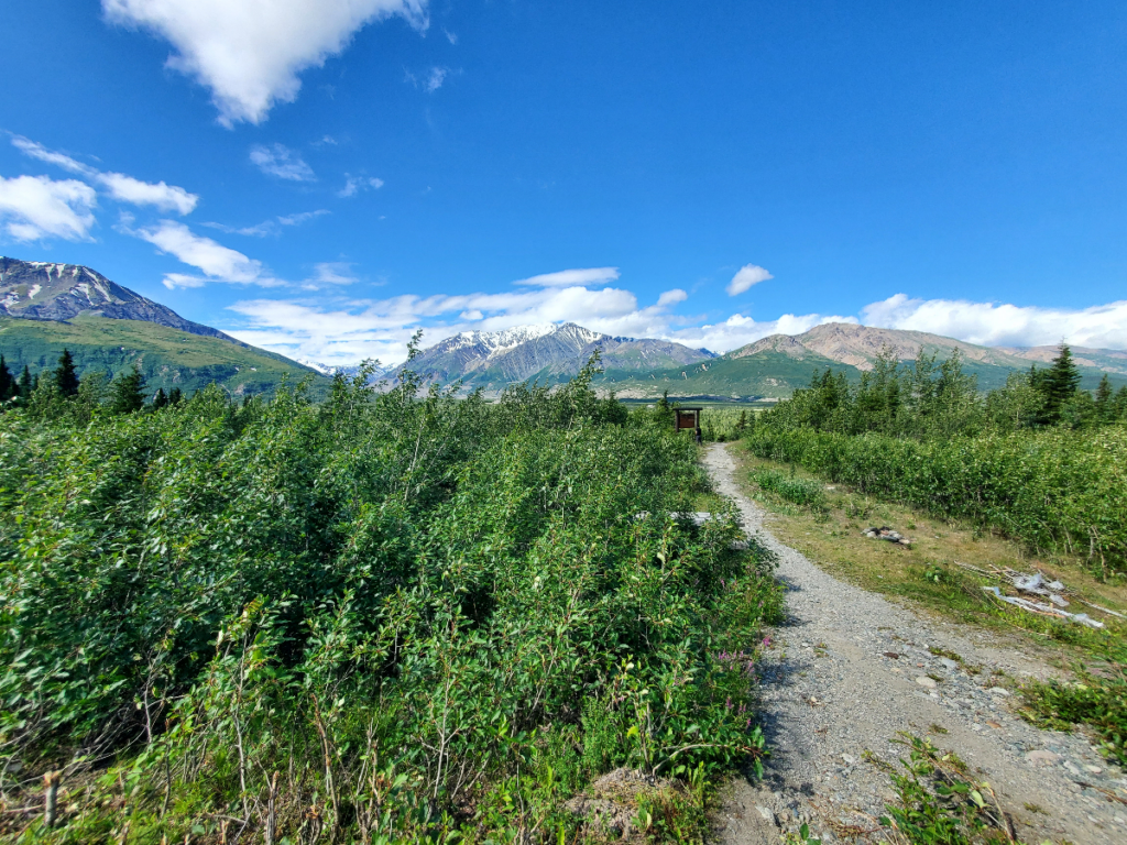
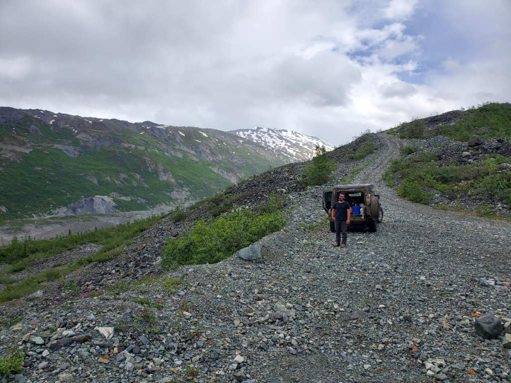
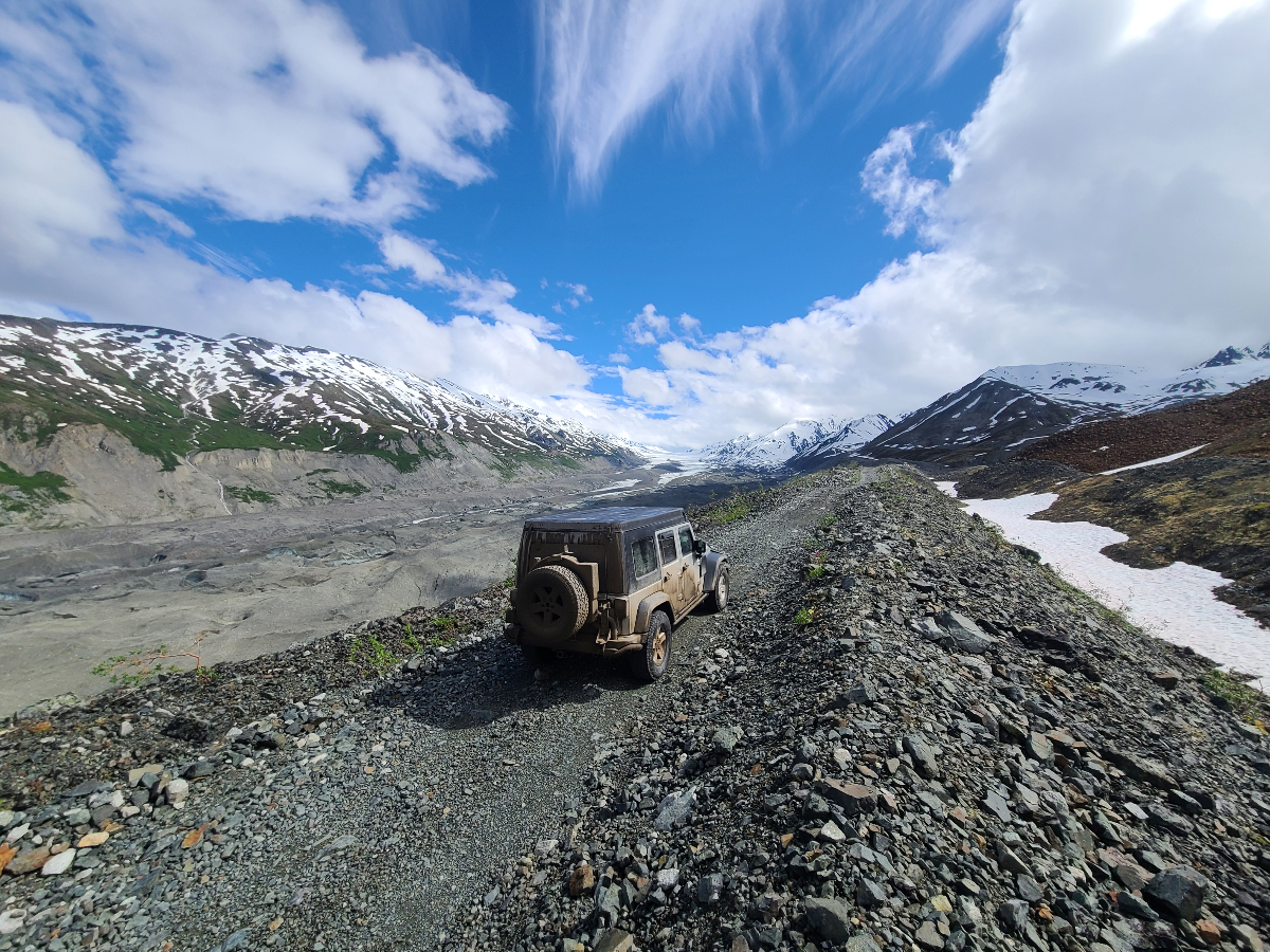
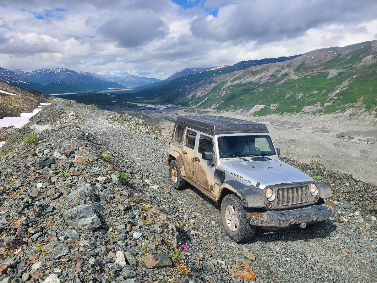
A snowbank stopped our progress up the gravel moraine, but it was an opportune moment. Bill Coty, of Alaska Offroad Warriors fame, and his brother were coming up the snowbank in Bill’s heavily modified FJ40. We talked and laughed for several hours, and they showed us the joy of pushing boulders down to a creek that runs underneath the glacier.
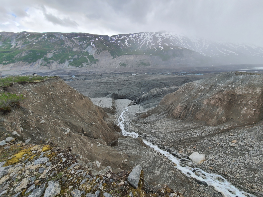

After taking way longer than expected entertaining our child like impulses, we went back down the moraine and up another tributary.
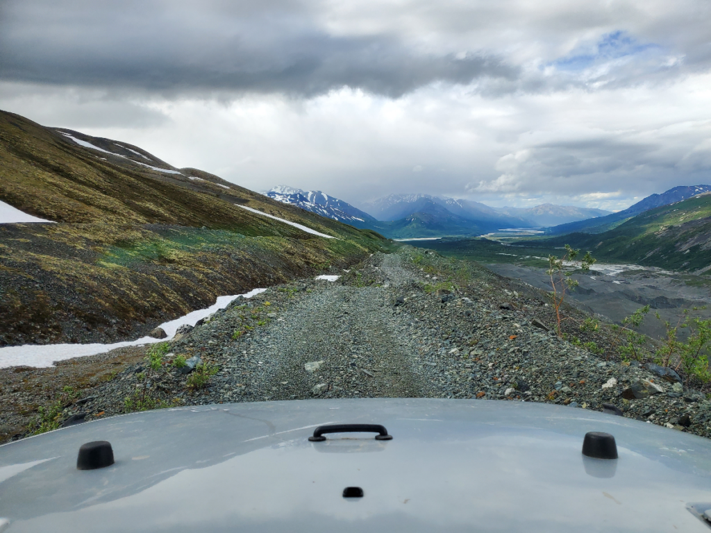
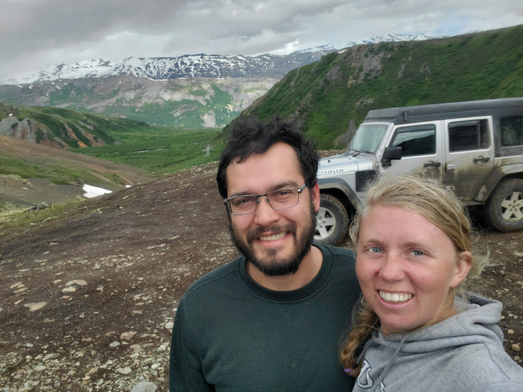
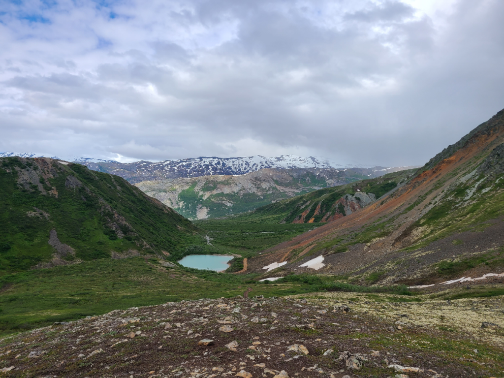
Once we got our off-roading adventure in, we continued down the pavement to Anchorage and saw a couple of gems pop out of the Wrangell St. Elias Mountains.