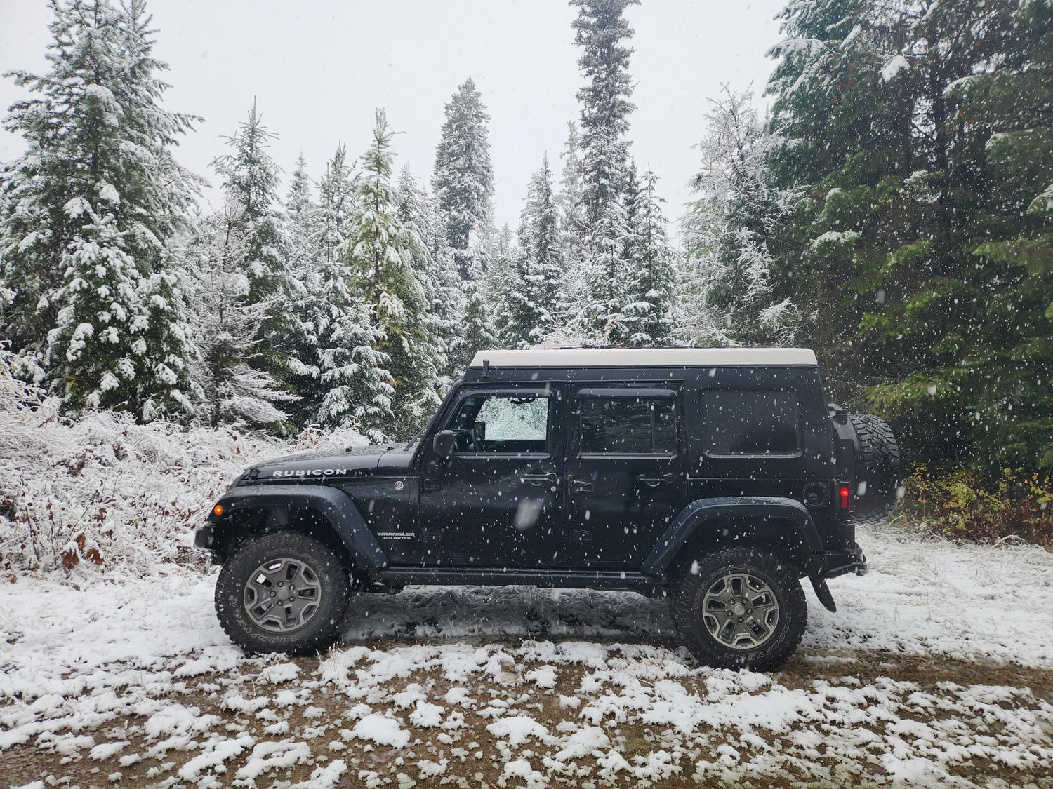
We began our trip in Anchorage, on October 6th, 2025. After months of building the jeep, and getting our home ready for renters, we left without as much excitement and fanfare as we perhaps thought we might. We were tired. But- today was the day! We were headed south on the Pan-American Highway: the longest road in the world, from Alaska to Argentina.
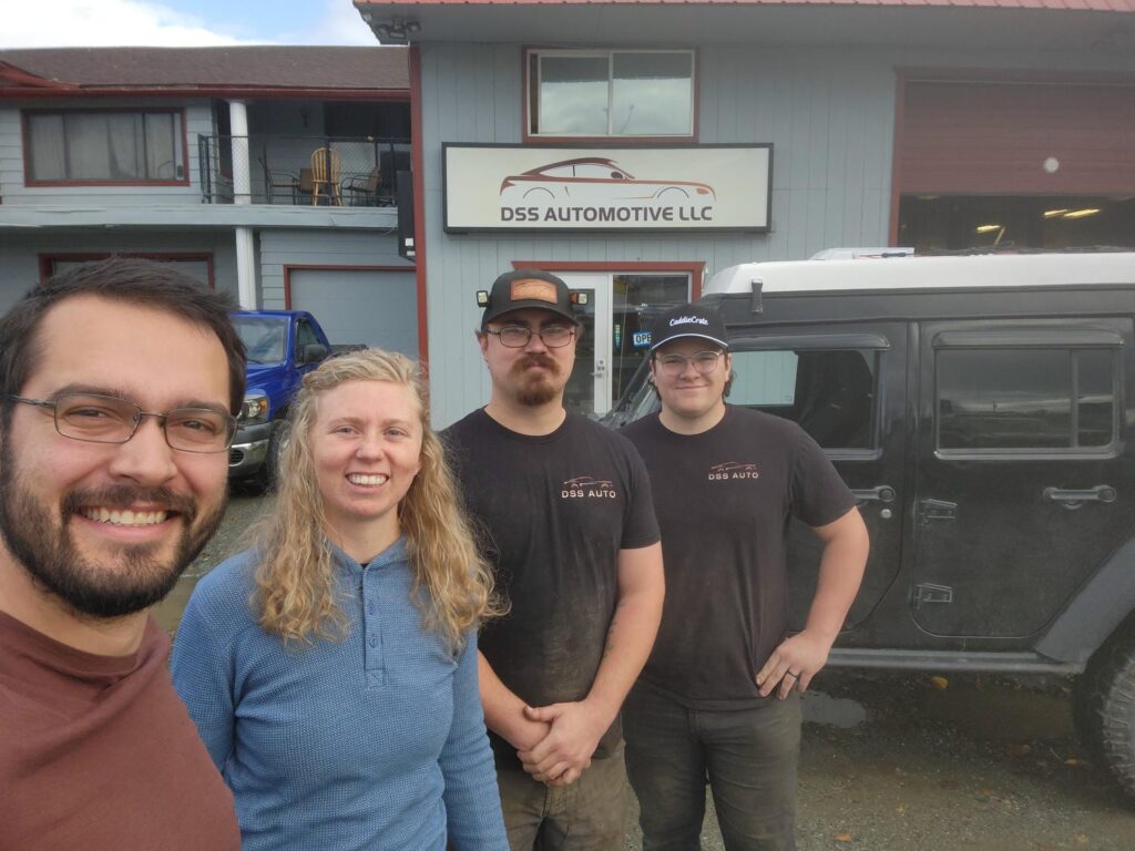
We had camped out in the jeep on the street in front of our house, as we could no longer fit inside the garage without letting air out of the tires, and our driveway was very steep. We got up at 5:30 in the morning to finish off the house- cleaning toilets, showers, and other last minute items. I made sure to get the odometer reading as we left our house- 23522 miles. We stopped for breakfast at my parents’, stopped at our internet provider’s office to drop off our modem and cancel our service, dropped off a key at the property manager’s office, and we were free! Our first stop on our way out of town was at Delaney’s brother Owen’s auto shop. We did a last minute alignment, fixed an exhaust rattle, and tightened a loose track bar bolt before saying our goodbyes. Hopefully Owen will come visit us at some point along the trip!
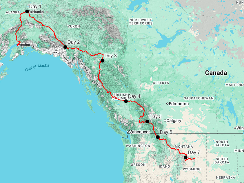
We had said goodbye to all our other family and friends over the past days and weeks, except for Mike Wise up in Fairbanks. So, before we could head south for the next year or two, we headed north towards Fairbanks. Our drive was fairly uneventful, but we did get to pass by the spot we had gotten married 3 years before, near the Hurricane Gulch Bridge.
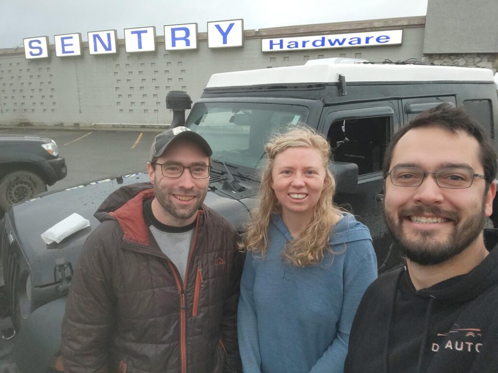
Mike made some awesome moose tacos for us that night as we caught up, regaling us with stories of getting the moose a week earlier. I had done some mining exploration work in the area he had hunted, so it was interesting to have both been in the same remote corner of the Alaska Range. We then enjoyed some time in Mike’s hot tub before turning in for the night. We really enjoyed sleeping in a few more hours than we had been for the last frantic week or two. We met Mike for breakfast burritos at a coffee hut in Fairbanks before saying our last Alaskan goodbye.
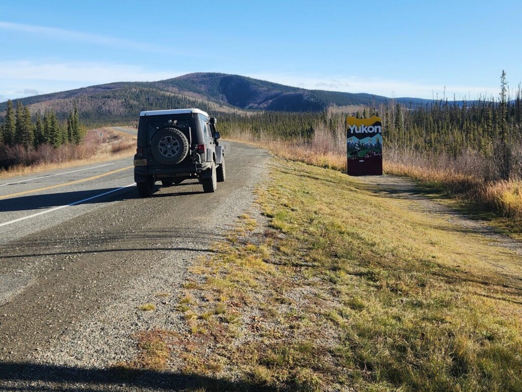
Heading out of Fairbanks, we realized that this was it- our last day in Alaska for a long time. We knew that gas would be much more expensive in Canada, so we had filled up all 3 tanks in Fairbanks, and topped them off in Delta Junction and in Tok. The section of highway between Delta Junction and Tok was actually the last major highway in Alaska that I had never been on- though I still have to tick off minor ones such as the Nome highway system, the Manley Hot Springs road, and the Nabesna road. Next time! Crossing the Canadian Border was quick and easy.
The highway section between Tok and Kluane Lake is heavily damaged by frost heaving, leaving rollercoaster-like waves in the road. With such a packed-full jeep, I had worried that it would not handle the bumps super well. I was wrong! With the suspension upgrades we had made before leaving, the jeep ate up the bumps. I was thrilled that we could go faster than we did with the unmodified 2012 wrangler we had driven up the Alcan 3 years before, even with all the extra weight we were carrying. We made a brief stop before getting to Kluane Lake- I spied an elusive Northern Hawk Owl hunting in the trees. Other wildlife included ubiquitous moose, as well as about 30 Dall’s Sheep just south of Destruction Bay licking salt off the road. Surprisingly for me, we did not see any bears. I’m pretty sure this was the first trip through the Kluane Lake area that I did not see a grizzly.
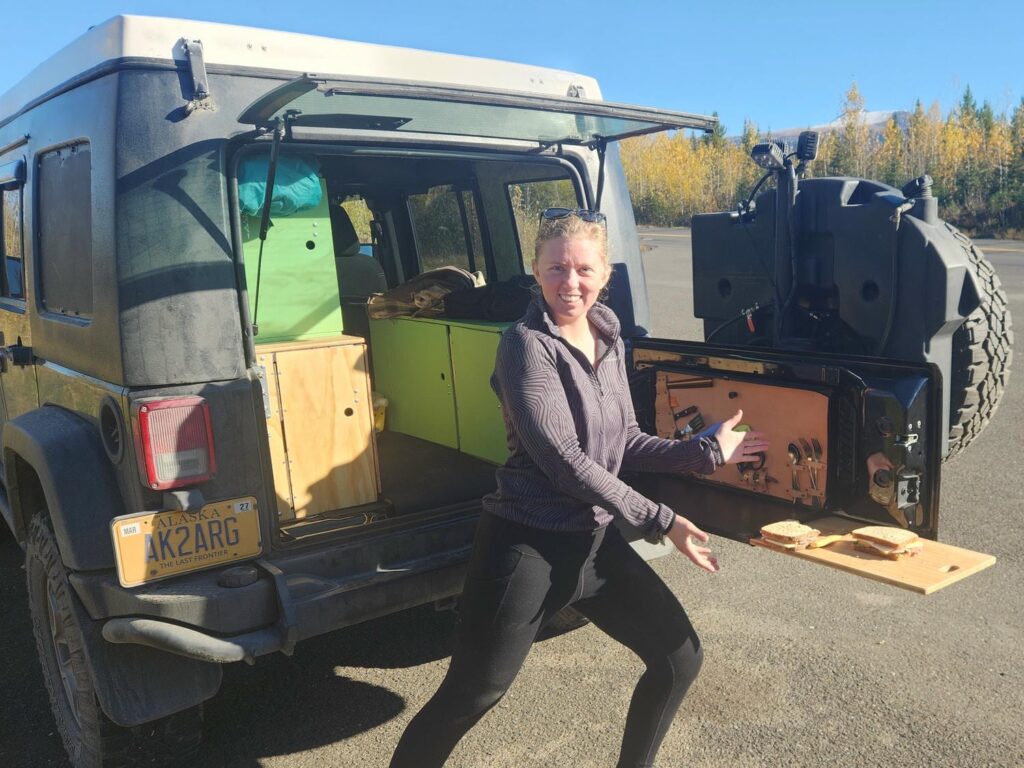
As darkness fell, we found a small side road just south of Kluane Lake and trundled up it for a few miles until it opened up into a small meadow. We popped the top and closed up all the exterior doors to stay warm- it had already dropped down below freezing outside. We cooked dinner while standing up inside the jeep- something that we had dreamed of doing in the years of planning beforehand. It felt amazing to have been building the jeep for so long, mostly untested, and then be able to use it in the way we had hoped it would work. There was plenty of room inside for both of us to stand up, sit down, cook, and eat. After dinner we stood outside in the cold looking at the brilliant stars overhead. We then climbed up into bed from the inside of the jeep- another untested feature that worked! It was a cold night, down to 25F, but we were warm and cozy inside. We fell asleep to the haunting duet of a pair of Great Horned Owls, perhaps a hundred yards away.
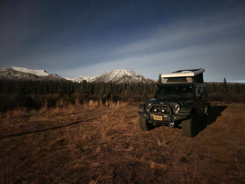
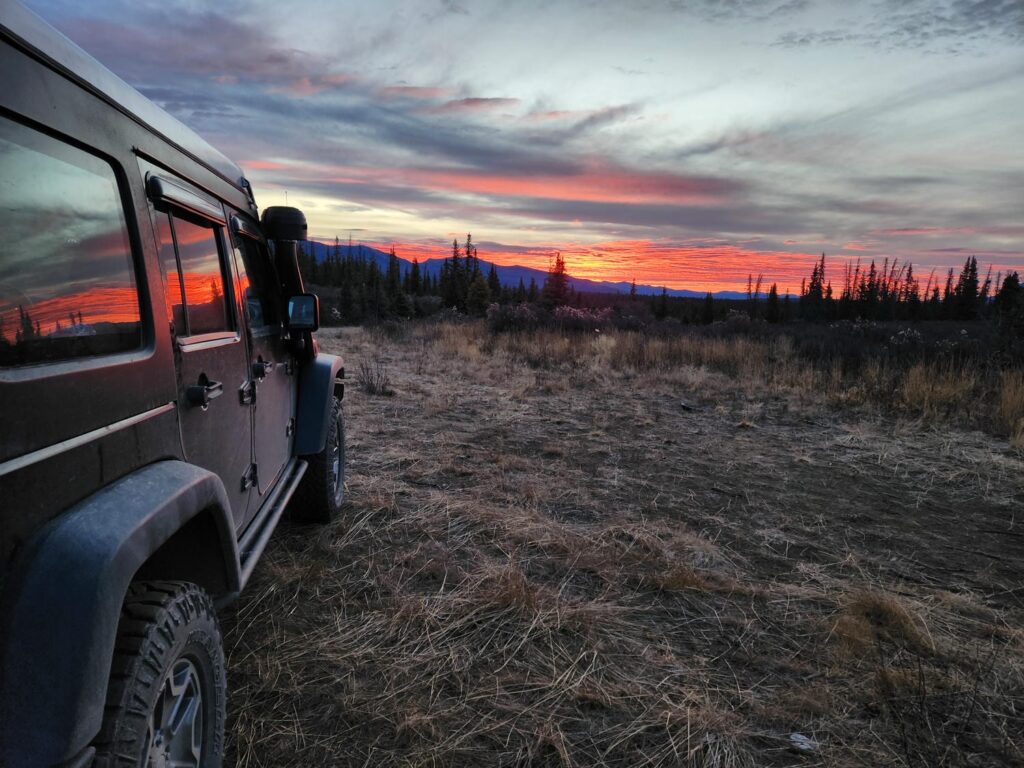
The next morning, we went for a short run further up the trail we had camped on. We then closed up the jeep and headed south down the highway to Whitehorse, stopping for Tim Hortons. We tried to download some offline maps, but the wifi was down- fortunately we would have only two intersections to turn at over the next thousand miles! We topped off gas in Whitehorse in the hopes of avoiding the expensive fuel along the Cassiar Highway. When turing onto the Cassiar 4 hours outside of Whitehorse, I was struck by just how small and narrow it was compared to the more traditional Alcan. I hadn’t been on the Cassiar for over 7 years, and I had forgotten just how remote it was. It feels like a small country road, but it stretches for 450 miles, passing only a few very small towns.
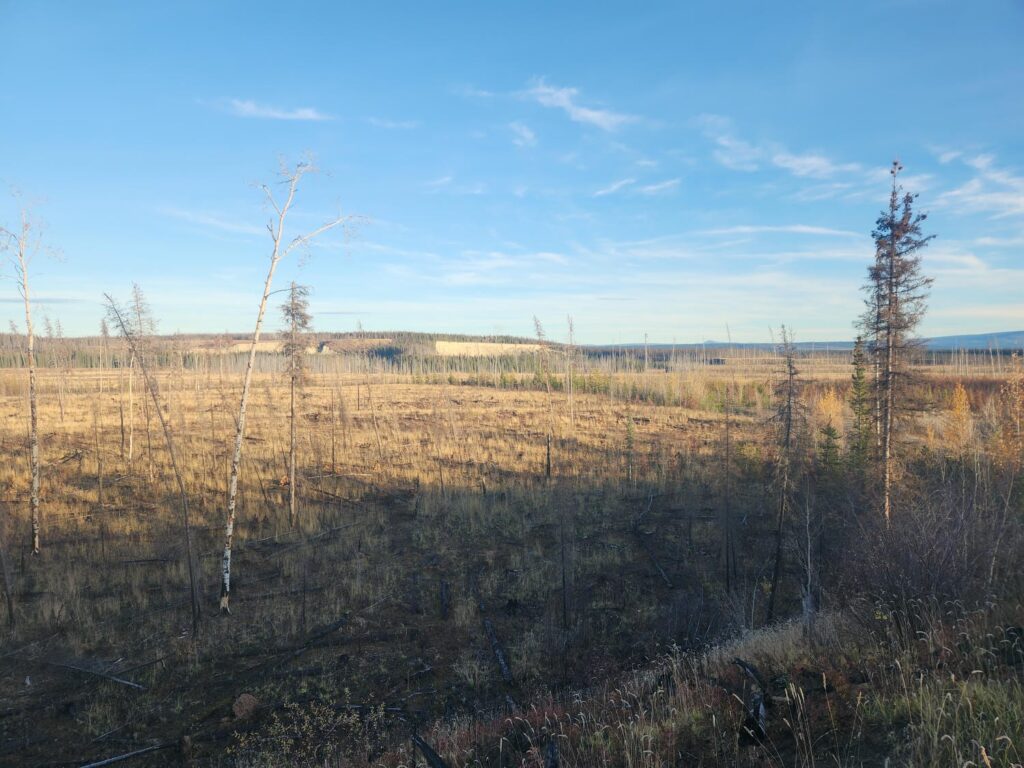
There was a large burn area starting about 20 minutes in. We drove through it for an hour, stopping to take a walk down an old forest service road through the burn. The fire must have been intense, as there really wasn’t a lot left- just some sparse stumps and standing trees, with new growth and grass in between. It was clear that the new growth was much less dense than the surrounding unburnt areas- such is the cycle of the boreal forest.
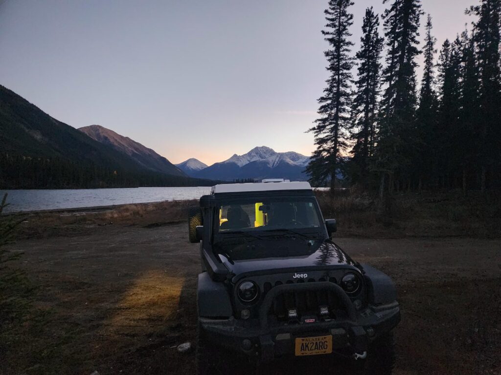
We eventually made camp on the north side of Good Hope Lake. I had been noticing an unfamiliar dull rattle or bump for the past half hour or so, and my suspicions were confirmed when I noticed a nut and washer sitting on the rear bumper. I soon found the source- the aftermarket rear tire carrier. Fortunetely the bolt was still there, along with a still-tight second bolt. 10 minutes later and everything was fixed! Another issue was our house battery- it shut off at about 1:30am the previous night, only to come alive again when the jeep was on. Same thing this evening, only it turned off 2 minutes after the jeep was turned off! As I write this 2 weeks later, the battery does not stay on consistently after being disconnected from a charger. The manufacturer, LiTime, has warrantied it, and I will be shipping out the old one and replacing it with a new one when we get to Grand Junction in another week or two. Hopefully this will be the end of it!
We woke up after a windy night right on the shore of the lake- it was perfectly calm until after we had climbed into bed, too cozy and tired to bother moving the jeep to a more sheltered spot. We continued down the Cassiar with gorgeous views of snowcapped peaks overhead. Signs of civilization started to reappear- such as the center stripe on the road, which had been missing since the very beginning of the highway. Because of our massive fuel range, we didn’t have to fill up a single time between Whitehorse and Kitwanga- over 700 miles, with still a quarter tank indicated on our main fuel tank!
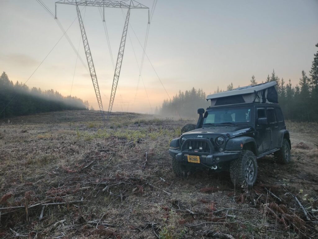
We drove on through the gorgeous Bulkley River Valley. It reminded me a lot of the Ouray/Ridgeway area of Colorado, with ski resorts hanging high above active ranches. It was a beautiful time of year to drive through Canada- fingers of snow reaching down with bright yellow leaves reaching up, with dark spruce and gray mountain rock adding contrast overhead. We drove east towards Prince George into the darkness. We hadn’t really driven the jeep in the dark before, and found that the aftermarket headlights I’d installed months ago were pointed far too high- I profusely apologize to all the drivers I must have blinded that night. We finally camped about 40 miles west of Prince George, under a power transmission line.
We woke up the next morning to a lot of frost. We spent about 45 minutes at a Tim Horton’s in Prince George, enjoying our first real internet since Fairbanks 4 days before. We topped off the tanks on our way out of town, and drove into a very foggy late morning down the Yellowhead Highway. The valley we drove down is full of beautiful ranches, similar to northwestern Wyoming or northcentral Colorado. We definitely felt like we were in the Rockies again, with the vegetation, small ranching towns, and steep, craggy mountains. We stopped briefly at Little Hell’s Gate, a chokepoint on the otherwise calm North Thompson River. Some late season blueberries near the falls were very ripe and delicious. We noticed other signs of late summer rather than fall- not only were all the leaves still on the trees, but some were even green! Stopping briefly in Kamloops for gas, our last fillup in Canada, we drove east into the darkness towards Revelstoke. It was only a narrow two lane mountain highway, but it was full of traffic- both vacationers for Canadian Thanksgiving, and truckers. Before getting to Revelstoke, I was able to find an old campsite I had stayed at several times before- a few miles up an old logging road, with an incredible view over Three Valley Gap. Rain started down and distant thunder rumbled as we made dinner and climbed into bed, but thankfully did not continue overnight.
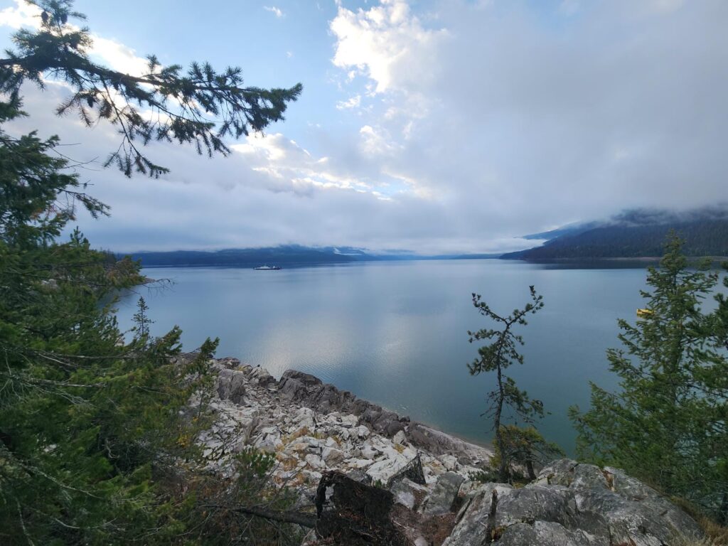
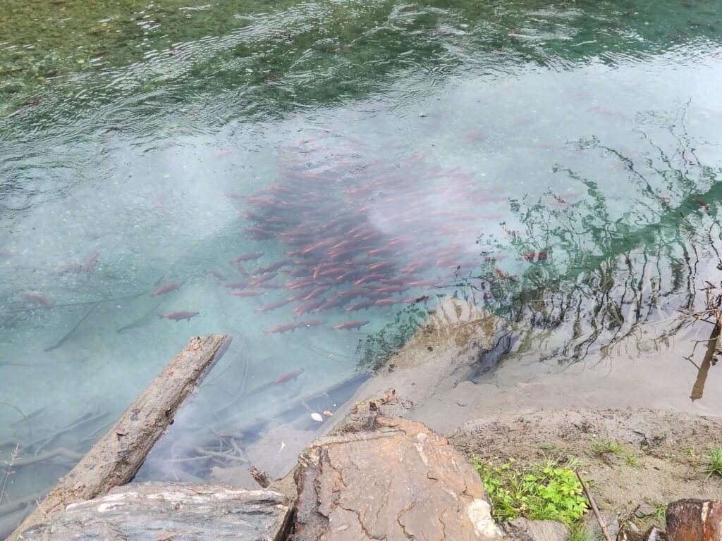
We got our last dose of Timmy’s that morning in Revelstoke, then headed to the Shelter Bay ferry across Arrowhead Lake, hitting it right on time. We took the beautiful Trout Lake route, which I had taken for the first time with Mike Wise 6 years previously. At the south end of Trout Lake we watched Gerrard Rainbow Trout spawning, their bright red color reminding us of Red Salmon back home in Alaska. The trout are evidently a distinct species of Rainbow Trout, which has recovered from a population of a few hundred to thousands and thousands. We counted almost 40 bald eagles in just 3 miles of road, all evidently feeding on the mass of fish. We spent almost an hour here, a welcome reprieve from the relentless driving. We had a great time driving south from there down lonely dirt roads, first through logging areas, then small ranching towns, and finally along small vacation towns along the many lakes in the area. The areas closer to Balfour seemed to get more and more ritzy and expensive looking.
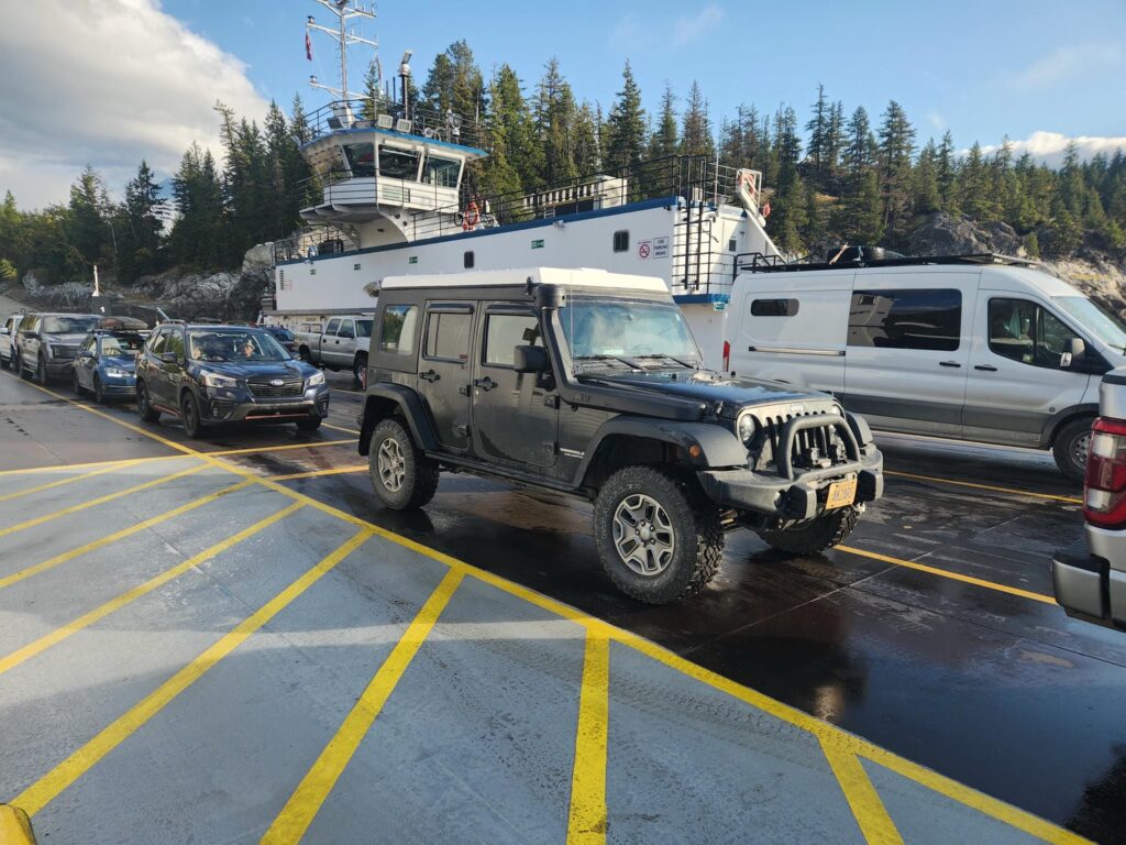
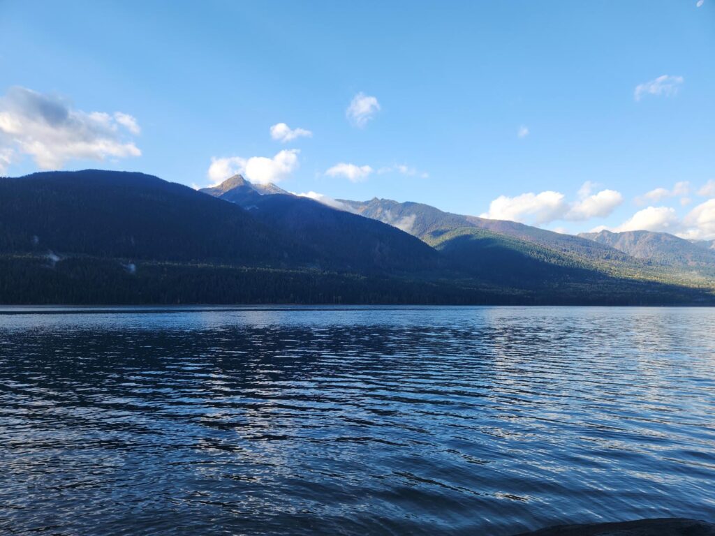
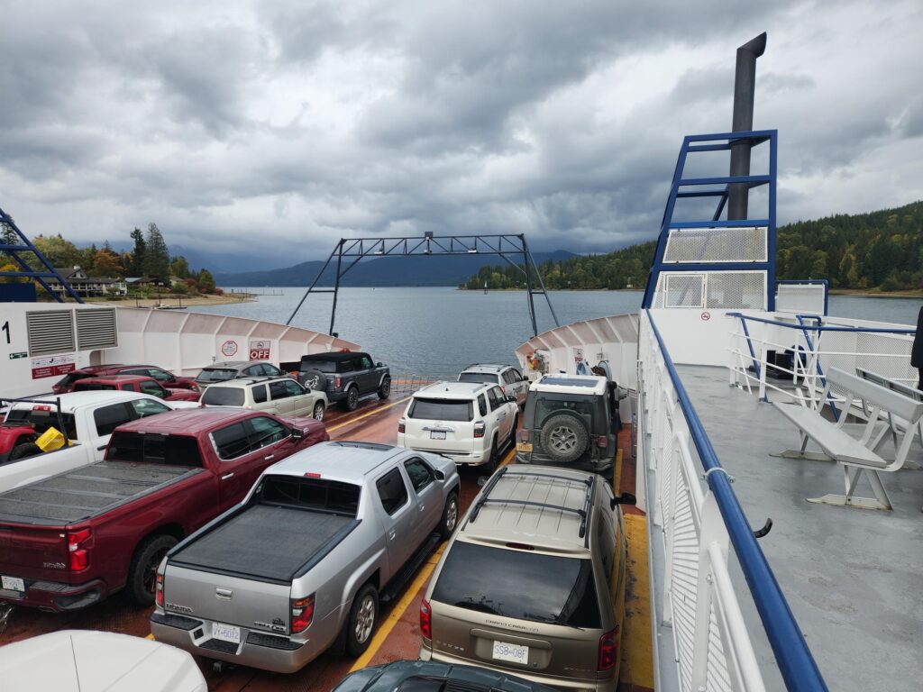
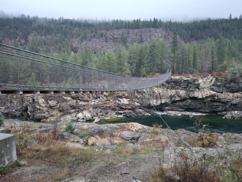
We unfortunately missed the Balfour ferry by just 10 minutes, and had to wait another hour and a half before the next one, which we spent in a nearby restaurant. Taking the ferry across Kootenay Lake, we headed south towards Creston and the U.S. border. The estates grew even more extravagant, some perched right on the lake edge- being a reservoir, there is little worry of flooding. After a friendly border crossing, where the customs agent had a few jokingly negative things to say about the jeep’s reliability, we drove through Idaho without stopping, straight to Kootenai Falls in the twilight. We briefly checked out the falls before darkness fell, thankful we had remembered to grab a flashlight. We watched a freight train cross directly under us as we stood on a footbridge and were struck by its incredible power as it thundered uphill. We found a campsite just south of Troy, Montana, which unfortunately seems to be the spot where young locals show off how much noise their diesel trucks can make. We also heard a few shots nearby- but it just sounded like someone emptying a magazine into the forest. Despite this, all was quiet by the time we went to sleep, and we slept great.
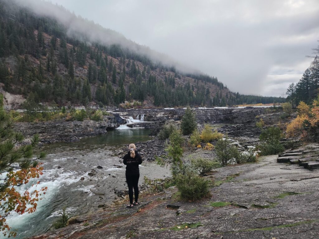
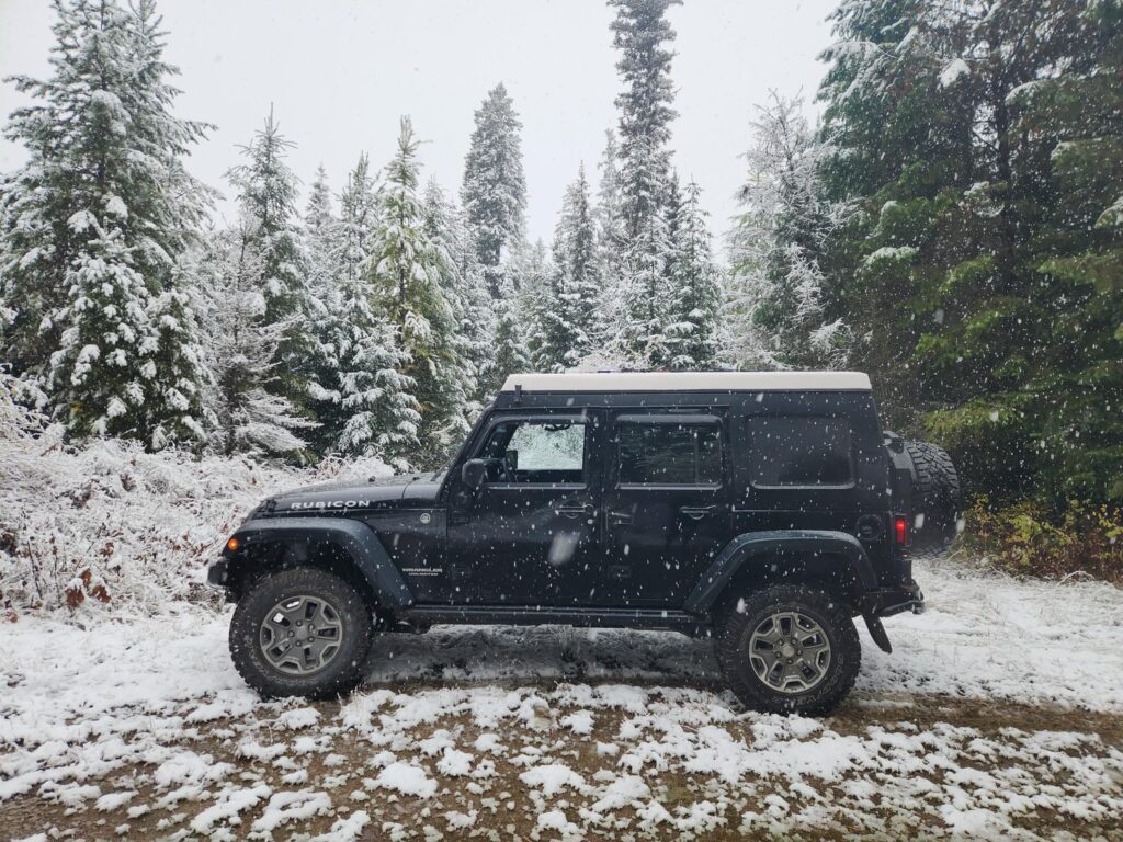
We ran down to Kootenai Falls again with the morning light, then headed down to Kalispell to meet with Delaney’s friend Jenny. We had a great brunch with her, then drove south through Seeley Lake. We hit a major first-of-the-year snowstorm which lasted most of the day- the giant trees east of Kalispell made it look like Christmas with the white snow just beginning to stick on the dark green branches. As we normally do, we stayed off the interstate most of the day, passing through Helena, as well as the ranching towns of Townsend and Wilsall.
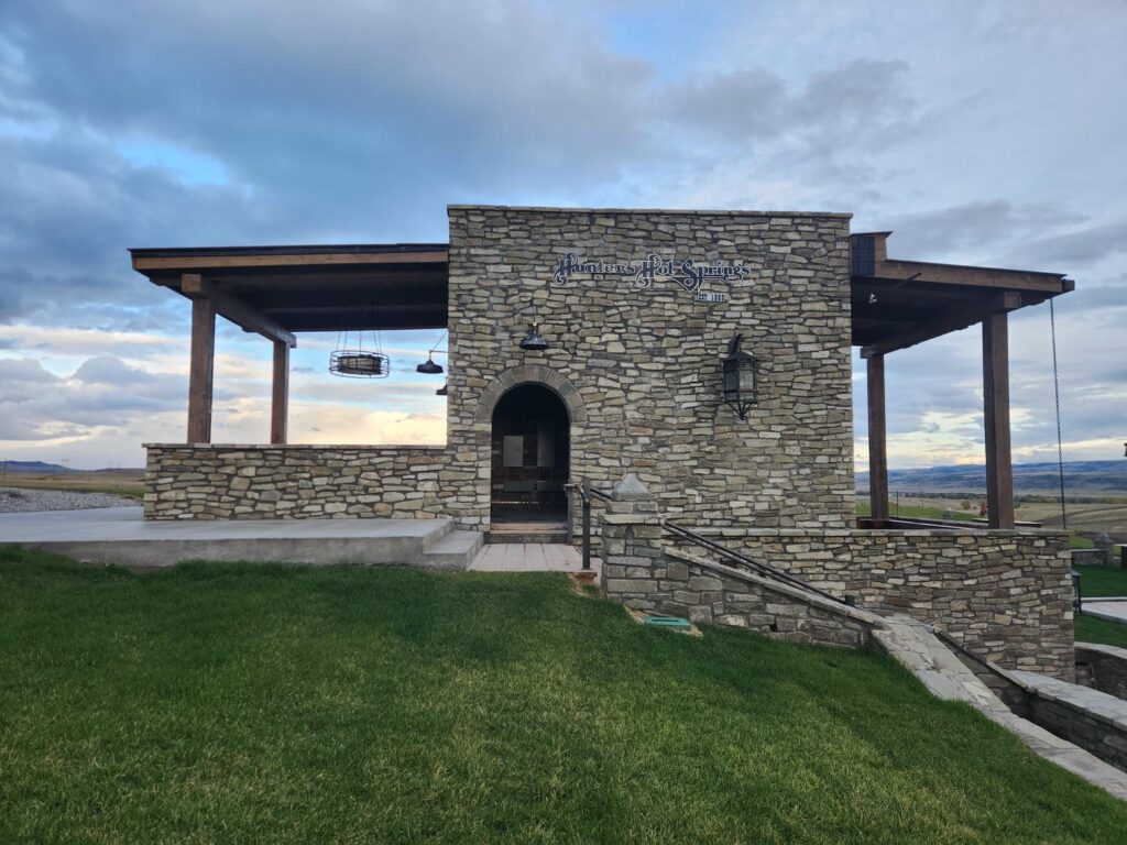
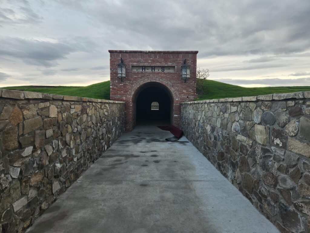
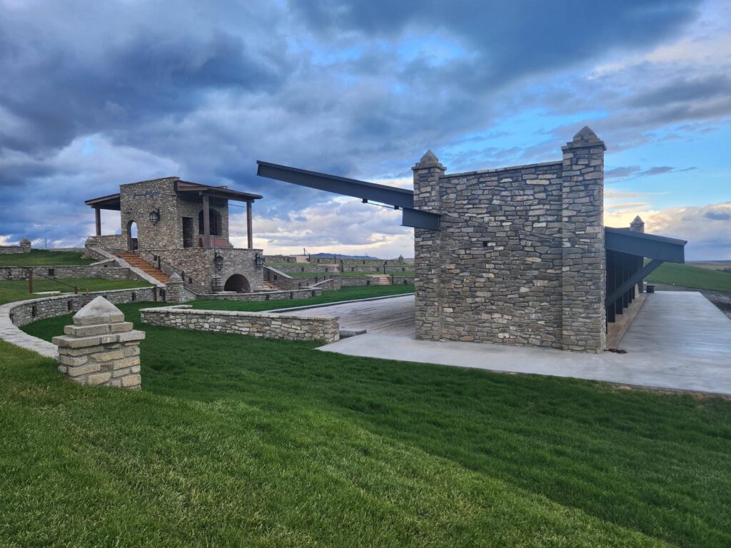
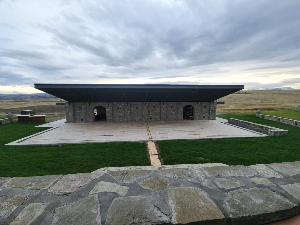
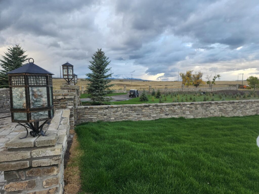
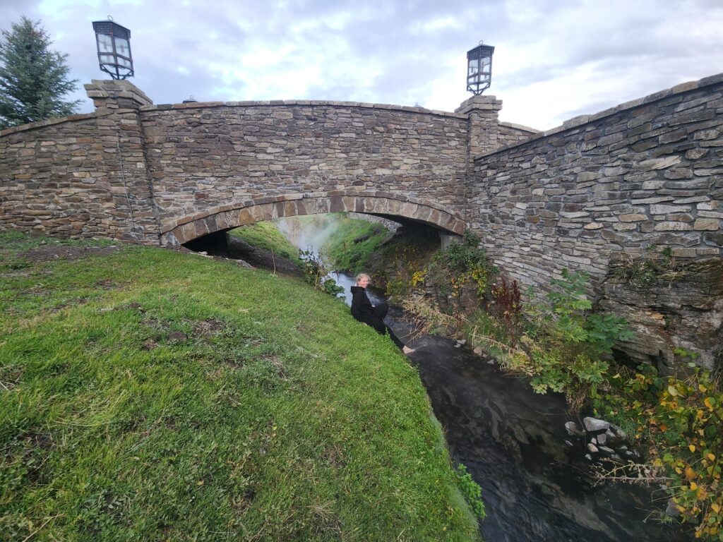
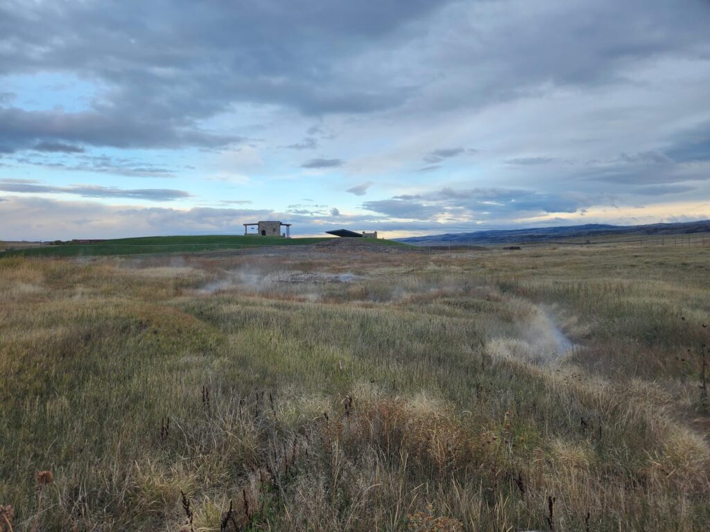
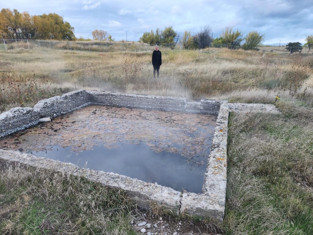
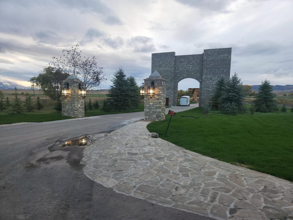
Just before reaching I90, we turned onto Convict Grade Road, a rough ranch road which paralleled the interstate. We eventually came across Hunter’s Hot Springs, which was undergoing a bizarre renovation. There was no pool- but lots of very expensive-looking brickwork, ornate lanterns, and amazing landscaping. Someone is pouring a lot of money into the place, but they seem to be doing some things out of order- electric lights are hung everywhere, but no wires. There was a beautiful underground hallway with perhaps 20 paintings showing the history of the hot springs almost surely commissioned just for this renovation, but no doors on the hallway, leaving the paintings exposed to the elements. The landscaping looks finished, with a lawnmower sitting nearby, but without walkways, roads, or parking lots. There also wasn’t a soul around, which we found very creepy. We explored the source of the springs, which had lots of ancient concrete pools & foundations, with iron pipes running everywhere. However, it looked like this area hadn’t been maintained or used in decades. As we drove away down the road, we finally saw some people- construction workers building a slightly tacky but massive stone arch to drive through, as well what looked like a stone church. Delaney found online that the place was being renovated as a wedding destination, but both of us were struck by how oddly the renovation project was going. I look forward to learning about what eventually happens.
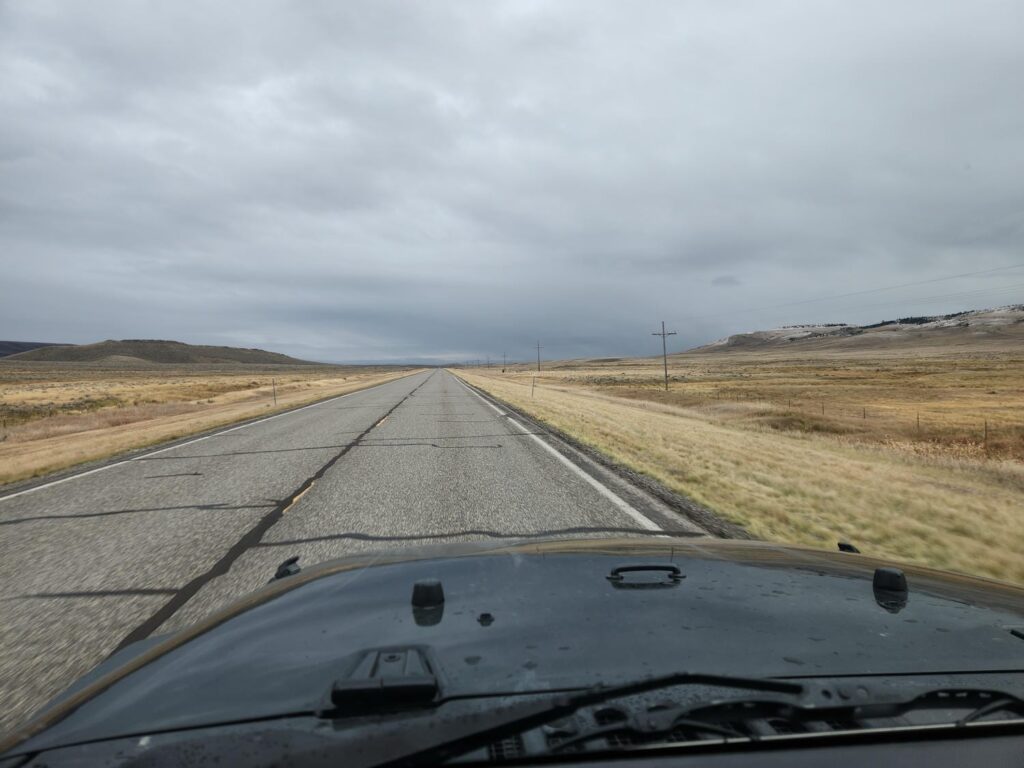
We had plans to be at the Buffalo Bill Center of the West in Cody, Wyoming early the next morning, so we reluctantly got onto I90 to make some tracks. We traded gasoline for time, and 53 short miles later, we turned off the interstate at Colombus, Montana, headed south. We ended up camping just outside of Belfry, up an old ranch road. It was a great spot and we felt hidden away, which is difficult in the treeless high desert of Montana and Wyoming.
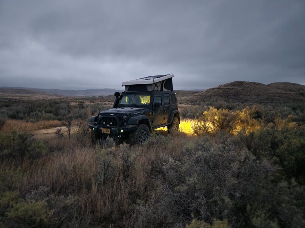
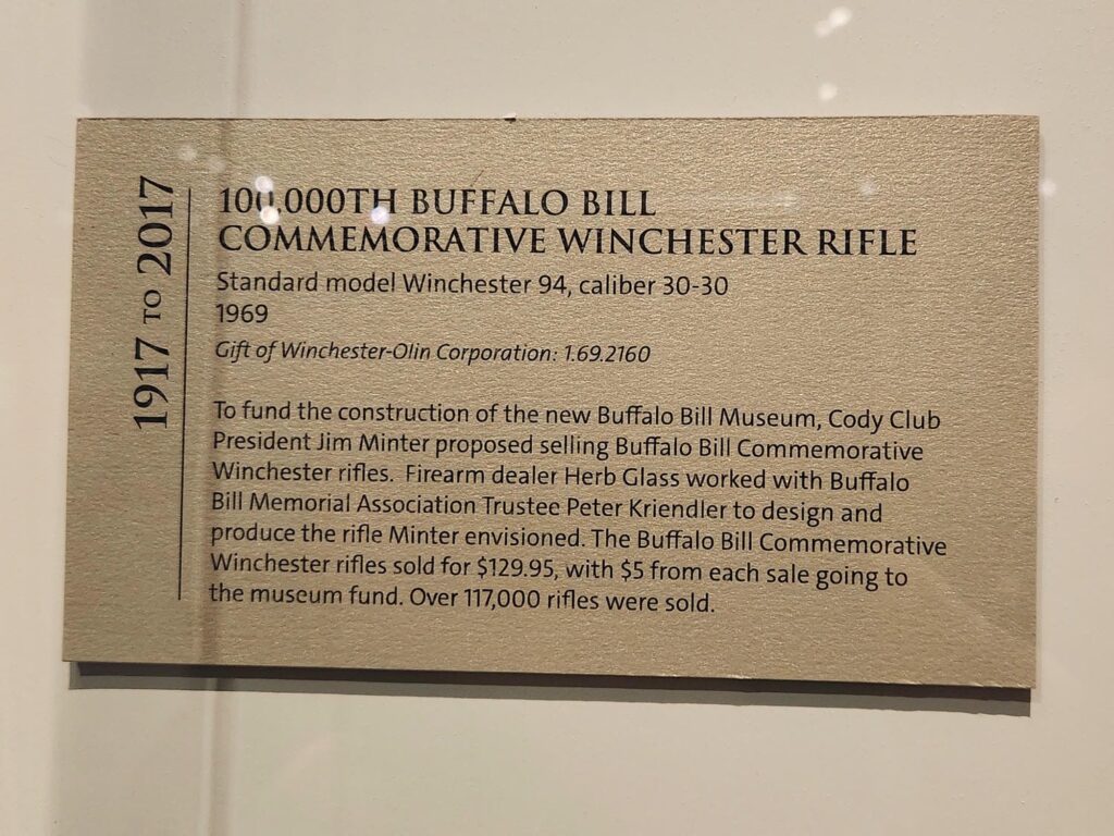
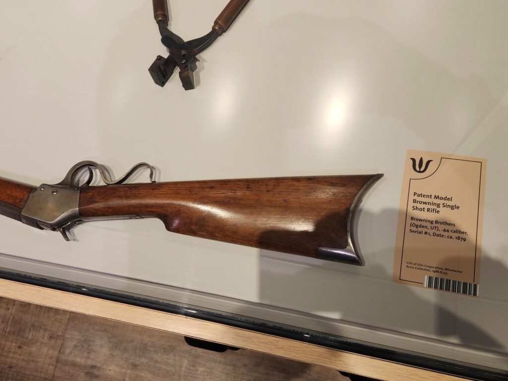
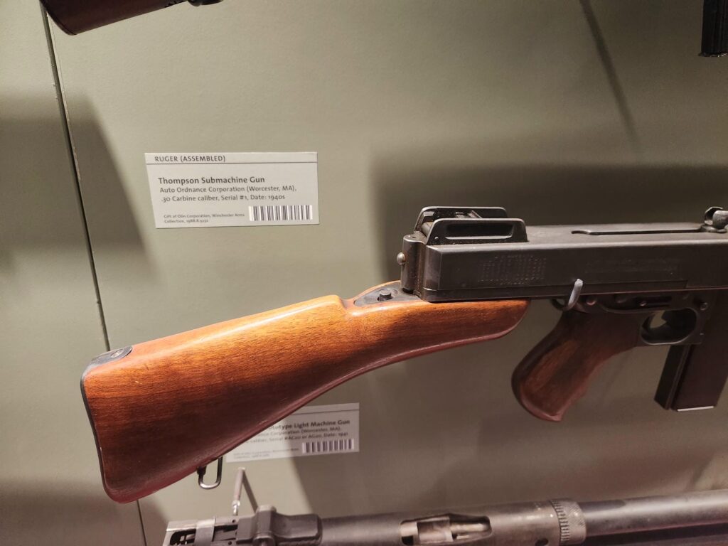
We woke up after a rather blustery night, reminded that we need to get some stiffer struts to hold up the tent fabric a bit tighter. We made it down to Cody right when we had planned to, entering the museum just after opening. The museum is fascinating and very well done- it is really several museums in one. It started off as a museum about the life of Buffalo Bill, but has added on an extensive natural history museum about the “Greater Yellowstone Ecosystem”, an art museum, and one of the largest firearms museums in the world. The firearms museum started as the remnants of the Winchester Company’s research collection, and has expanded to include displays from most major American firearms manufacturers. There are over 8000 firearms on display, including the very first firearm that the Winchester Company ever produced, John Moses Browning’s original designs, test pieces, and tools, and many, many more fascinating displays. This is a can’t-miss visit for anyone with even a passing interest in firearms, though it definitely gets a bit overwhelming with just how much there is to see.
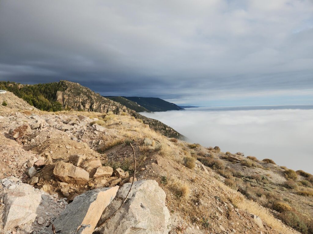
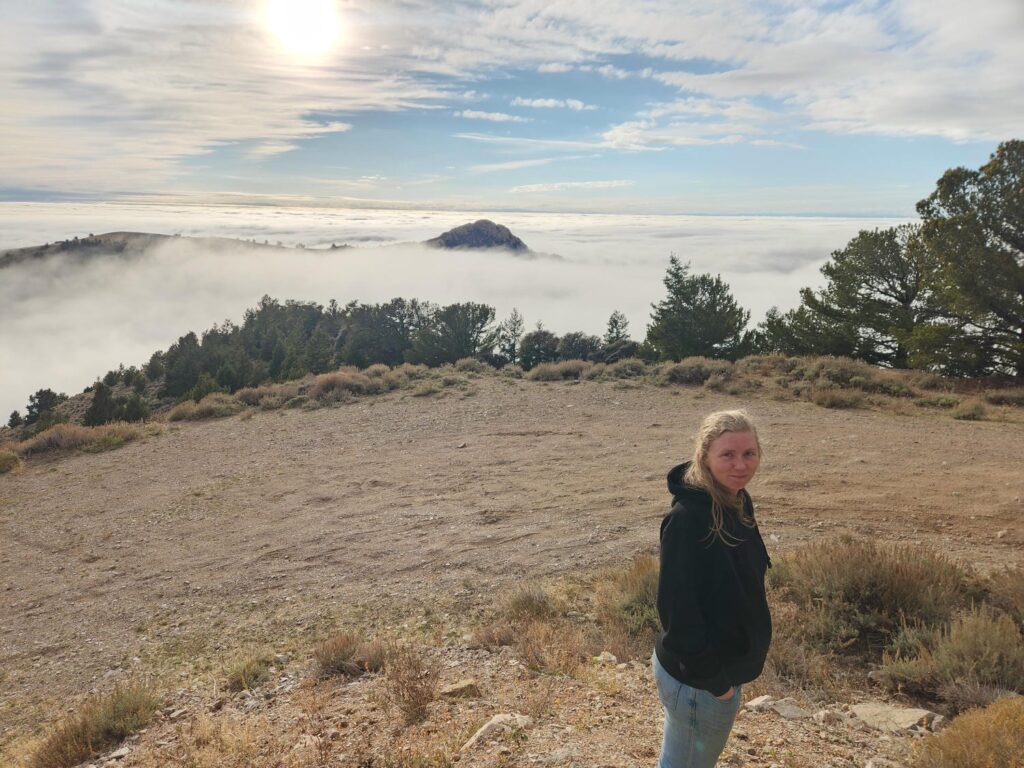
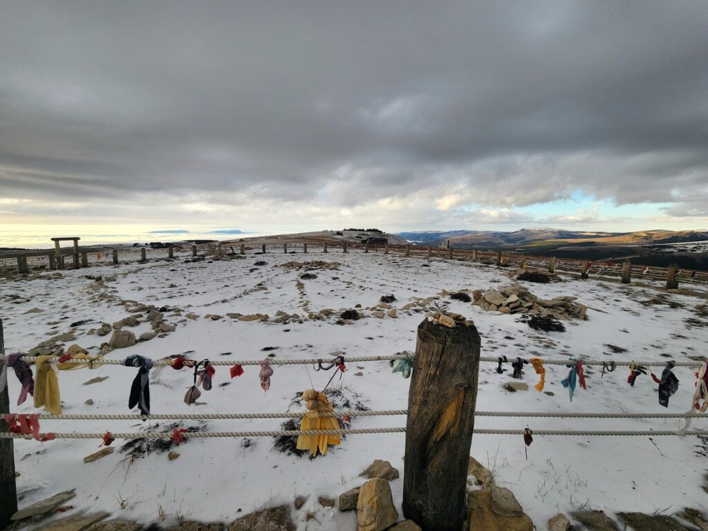
We met with Delaney’s college friend Amy, who works at the natural history museum, and had lunch with Delaney’s high school friend Amy in Powell, where Delaney is from. After seeing both of Delaney’s childhood homes outside of Powell, we headed up over the Bighorn Mountains on highway 14A. What a road! After the densest fog I have ever seen on the western slope, we popped out into the sunlight with incredible views west towards the Beartooth Mountains. We continued upwards, and then turned off onto a dirt road, climbing further into the snow to go see the Bighorn Medicine Wheel. The Medicine Wheel is a rock circle high in the mountains, built hundreds of years ago by Native Americans. The circle’s purpose is unclear, but what is clear is that it holds deep significance to the surrounding tribes. Over 150 of such wheels have been found in Wyoming, Montana, South Dakota, Alberta, and Saskatchewan, but the Bighorn Medicine Wheel is the largest and best-preserved. After carefully descending down the muddy and snowy road, we continued east across the top of the mountains, before descending down many switchbacks, again in thick fog, towards Sheridan. There we were met by our friends Nick and Dasha and their amazing hospitality.
Our trip from Alaska down to the Lower 48 was hectic, and in a way, a bit frustrating. We had just passed through some of the most scenic areas of the North American continent, but barely stopped to see any of it. This is because, for us, these areas will be relatively easy to explore later in life. We are trying to limit our time north of Mexico to just seeing the important people in our lives who we will likely not see for 2 years, and possibly longer. So, while it isn’t fun to pass by places such as Glacier National Park, the Salmon Glacier near Hyder, eastern British Colombia, and other remote areas of Canada, we know we will have another shot at seeing them.
This is amazing. Robert u need to do a novel after u return home. What an adventure. 🙏for safety during your travels.
Hopefully all we’d have to do is copy over the website into a book. Miss you!
Loved reading this! Looked forward to more!
Miss you guys!